Plizio Visual Lab

Mata da Margaraça

Plizio editorial teamData Sources
Forest
—°7
Mata da Margaraça (Portugal)

Weather…

Mata da Margaraça is one of Portugal's most significant forest reserves, located within the Serra do Açor range near Arganil. It represents one of the final remaining fragments of the original deciduous and laurel-like forests that once covered vast stretches of central Portugal. The protected area, spanning over 60 hectares, is characterized by its extraordinary biodiversity, featuring ancient oaks, chestnuts, and rare relict species such as the Portuguese laurel. The high humidity levels and north-facing slopes support a lush undergrowth of ferns, mosses, and lichens, creating a microclimate unique to the region. A central feature of the woods is the 'Fraga da Pena' waterfall, which cascades down several rocky tiers into a natural pool. Designated as part of the Serra do Açor Protected Landscape in 1982, the forest serves as a vital laboratory for ecological research and environmental education. Hiking trails offer visitors a chance to witness a primary forest ecosystem that has largely escaped the devastating wildfires common to the surrounding areas.

Best time to visit & climate

The most pleasant time to visit is Jun–Aug.

JanFebMarAprMayJunJulAugSepOctNovDec
Avg °C781012161922232016107
Rain mm108839382532591440119121100

📋 Practical info

🧭
Getting there
Access to Mata da Margaraça is usually via winding local roads through the surrounding scenic region. Visitors often start their hikes from designated ecological centers or villages situated near the forest.
📅
Best season
Autumn is widely considered spectacular due to the changing colors of the deciduous forest canopy. Spring is equally beautiful, offering mild temperatures and spirited new green growth throughout.
⛰️
Terrain & paths
The forest trails offer varying levels of difficulty, mostly consisting of natural dirt and leaf-covered paths. While some sections have inclines, the main routes are suitable for average walkers.
🎒
What to bring
Reliable hiking shoes with good grip are highly recommended for navigating the natural forest trails. Visitors should also bring layers of clothing, a water bottle, and some basic navigation tools.
🅿️
Parking
Parking is generally available at designated entry points or near the local forest interpretive centers. Space may be somewhat limited, so parking carefully to respect the natural environment is key.
⚠️
Safety
Staying on the marked trails is crucial to protect the delicate local forest ecosystem at all times. Visitors should also be aware of the natural environment and avoid walking during severe weather.
⏱️
Time needed
Exploring the well-preserved forest trails usually takes between two and four hours, depending on the route. This gives hikers enough time to fully immerse themselves in the natural woodland setting.

Geography

Coordinates
40.23000, -7.89000

Facts

  • The forest covers approximately 68 hectares of protected land
  • It was integrated into the Serra do Açor Protected Landscape in 1982
  • The Fraga da Pena waterfall is the forest's most famous geological feature
  • It hosts the rare Portuguese Laurel, a relict from the Tertiary period
  • The elevation of the reserve ranges from 600 to 850 meters above sea level
  • More than 400 species of higher plants have been documented in the area

Explore nearby

Notable places around

Route planner — Car & Motorhome

Where do you start? We build the route here, with stops and country notes along the way.

Vehicle
Only stops with (optional):

© OpenStreetMap contributors · OpenRouteService

Sights in the town Mata da Margaraça (7)

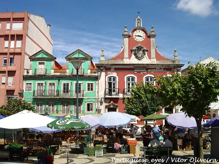
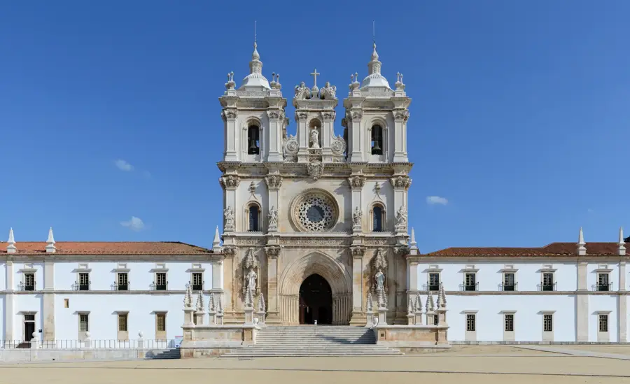
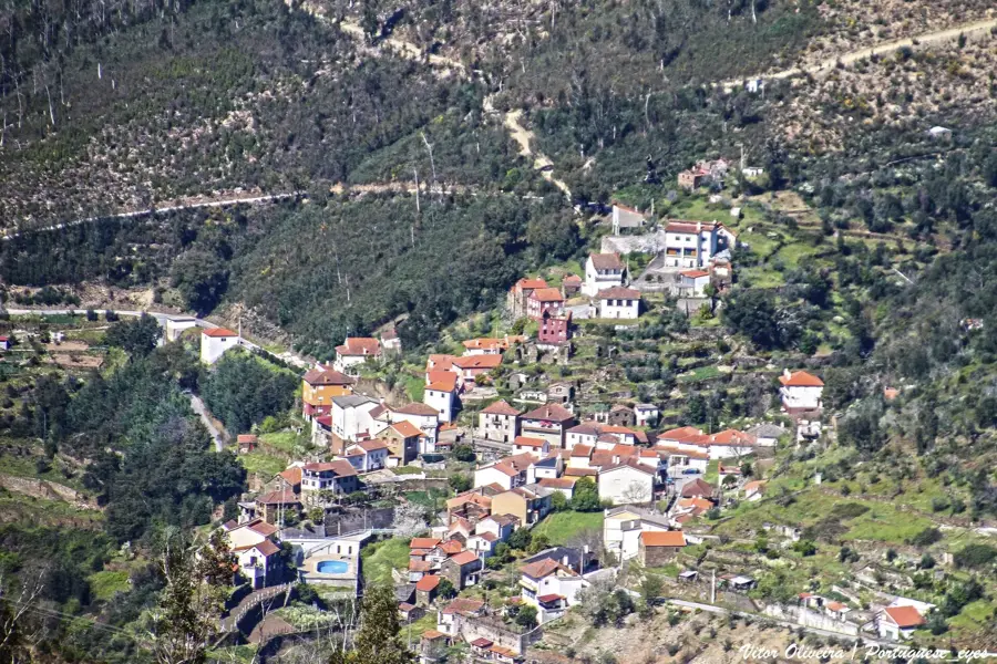
Serra do Açor Protected Landscape🌿 nature

A protected natural area in Portugal, known for its biodiversity and mountainous landscape.

🕒 24/7

Baloiço da Maria Negra📍 landmark

A scenic swing in Mata da Margaraça offering wide views over the protected area.

Praia Fluvial de Agroal📍 landmark

A river beach in the region, offering relaxation and refreshment in nature on hot days.

Parque de Merendas Cerdeira📍 landmark

A quiet picnic spot in the woods, good for a break during a hike through the reserve.

Praia Fluvial de Pomares🎡 recreation

A natural river bathing spot in Pomares within the Mata da Margaraça.

🆓

Piscina de Porto Castanheiro🎡 recreation

The swimming pool of Porto Castanheiro in the forested Margaraça region.

Praia Fluvial de Benfeita🎡 recreation

A river beach in Benfeita, handy for bathing in the protected nature of Margaraça.

🆓

Sights nearby

Frequently asked questions

What makes this forest so special?
It is one of the last native deciduous forests in central Portugal.
Where is the Fraga da Pena waterfall located?
It is located directly inside the protected area of the Mata.
What tree species grow here?
Mainly oaks, chestnuts, and rare laurel trees can be found here.
Is the forest part of a nature park?
Yes, it belongs to the Protected Landscape of Serra do Açor.
When is the best time to visit?
Autumn has the most beautiful colors in the deciduous forest.
Mata da Margaraça: where is it located?
Mata da Margaraça is located in Portugal.
Mata da Margaraça: what is there to see?
Highlights include Serra do Açor Protected Landscape, Baloiço da Maria Negra, Praia Fluvial de Agroal.
Mata da Margaraça: when is the best time to visit?
The most pleasant time to visit is Jun, Aug.
Mata da Margaraça: why is it worth visiting?
Mata da Margaraça is one of Portugal's most significant forest reserves, located within the Serra do Açor range near Arganil.
View on map → The Top 50 Attractions → Most beautiful beaches → OpenStreetMap →
Europe
Explore with Plizio Discover more places in Europe
More places in Portugal →

Nearby cities

History & landmarks