Plizio Visual Lab
Serra da Lousã
Weather…
Water temperature…
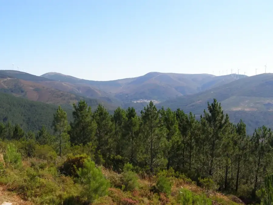
Serra da Lousã is a prominent mountain range in central Portugal, forming part of the Central Iberian System. Its highest elevation reaches 1,205 meters at the Trevim summit. The range is internationally renowned for its 'Schist Villages' (Aldeias do Xisto), such as Talasnal and Candal, which feature traditional stone architecture integrated into the steep landscapes. Geologically, the mountains are composed primarily of Precambrian schist and greywacke, giving the range its name. The vegetation is a lush mix of Mediterranean and Atlantic influences, with extensive forests of oak, chestnut, and pine trees. Serra da Lousã is home to a significant population of red deer and roe deer, which were successfully reintroduced to the area in the 1990s. The terrain is a premier destination for outdoor sports, particularly mountain biking and trail running, featuring an extensive network of marked paths. Cultural life in the region is deeply tied to forestry and beekeeping, with the mountain honey holding a protected designation of origin (DOP).
- Location: Portugal
- Top sights: Capela de Santo António da Neve · Baloiço dos Penedos de Góis · Trevim
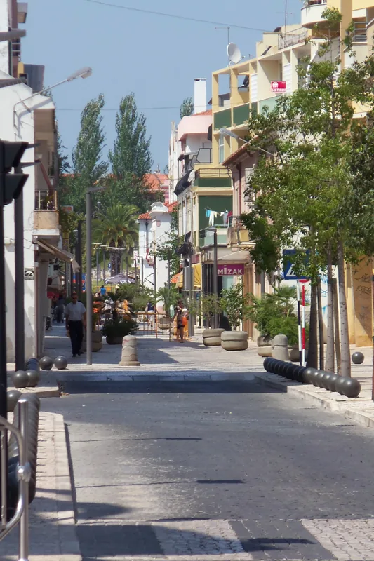
- Nearby: Lousã (9 km)
Best time to visit & climate
The most pleasant time to visit is Jun–Aug.
| Jan | Feb | Mar | Apr | May | Jun | Jul | Aug | Sep | Oct | Nov | Dec | |
|---|---|---|---|---|---|---|---|---|---|---|---|---|
| Avg °C | 7 | 8 | 10 | 12 | 16 | 19 | 22 | 23 | 20 | 16 | 10 | 7 |
| Rain mm | 108 | 83 | 93 | 82 | 53 | 25 | 9 | 14 | 40 | 119 | 121 | 100 |
📋 Practical info
Geography
Facts
- The highest point of the range is Alto do Trevim at 1,205 meters
- The area features numerous historic Schist Villages with stone houses
- Red deer were successfully reintroduced to the park in the late 20th century
- The terrain hosts one of Europe's best mountain bike parks
- Lousã honey is certified under the Protected Designation of Origin
- The Louriçal Stream features several picturesque natural waterfalls
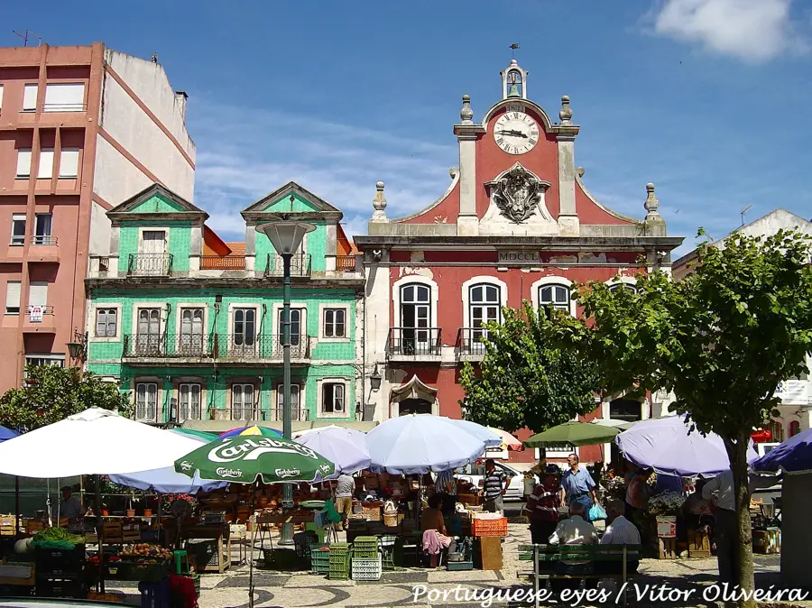
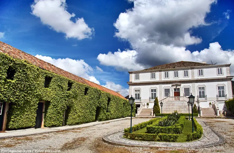
Explore nearby
Notable places around
Route planner — Car & Motorhome
Where do you start? We build the route here, with stops and country notes along the way.
© OpenStreetMap contributors · OpenRouteService
Sights in the town Serra da Lousã (3)
Sights nearby
Frequently asked questions
Which are the most famous schist villages?
Are there wild animals in Serra da Lousã?
How to reach the Trevim peak?
What is the Aldeias do Xisto project?
Is the region suitable for mountain biking?
Serra da Lousã: where is it located?
Serra da Lousã: what is there to see?
Serra da Lousã: when is the best time to visit?
Serra da Lousã: why is it worth visiting?

Nearby cities


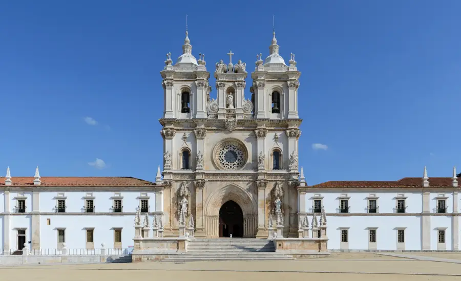
History & landmarks