Plizio Visual Lab
Serra da Lousã North
Weather…
Water temperature…
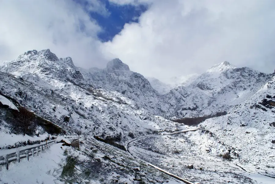
The northern slopes of Serra da Lousã form a spectacular transition between the coastal plains and Portugal's central mountain massif. As part of the Central Cordillera, this region is characterized by a steep and deeply incised relief that creates a dramatic landscape. Historically, the area is renowned for its schist architecture, with the famous Schist Villages (Aldeias do Xisto) showcasing centuries of human adaptation to the rugged terrain. The vegetation primarily consists of pine and eucalyptus forests, alongside remnants of native oak woodlands that play a vital role in the local ecosystem. The range's highest point, Trevim, provides sweeping views across central Portugal that can reach as far as the Atlantic Ocean. The region's hydrology is marked by numerous mountain streams that eventually flow into the Mondego River. In recent years, it has emerged as a major hub for mountain biking and nature-based tourism.
- Location: Portugal
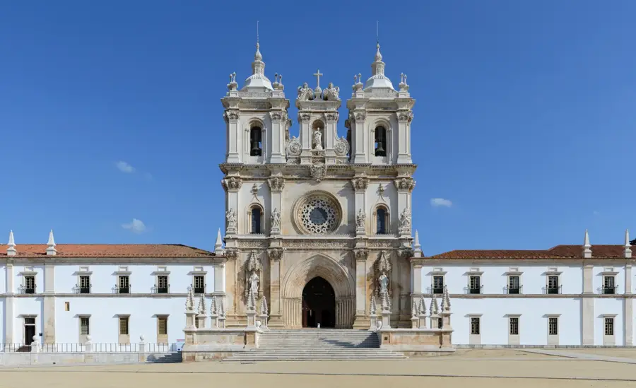
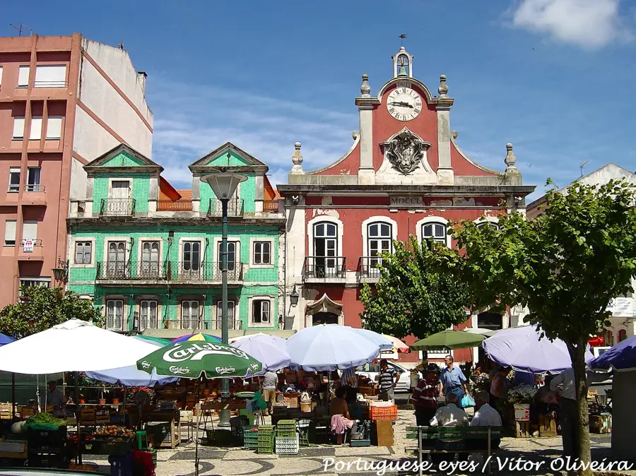
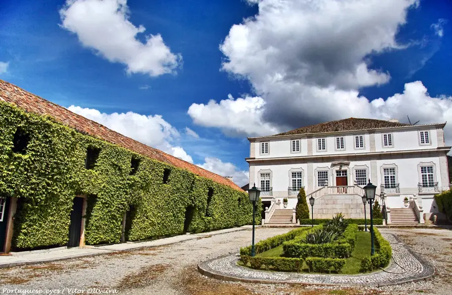
- Top sights: Praia Fluvial do Pêgo Escuro · Praia Fluvial Cabreira · Casa da Cultura de Góis
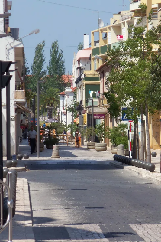
- Nearby: Lousã (15 km)
Best time to visit & climate
The most pleasant time to visit is Jun–Aug.
| Jan | Feb | Mar | Apr | May | Jun | Jul | Aug | Sep | Oct | Nov | Dec | |
|---|---|---|---|---|---|---|---|---|---|---|---|---|
| Avg °C | 7 | 8 | 10 | 12 | 16 | 19 | 22 | 23 | 20 | 16 | 10 | 7 |
| Rain mm | 108 | 83 | 93 | 82 | 53 | 25 | 9 | 14 | 40 | 119 | 121 | 100 |
📋 Practical info
Geography
Facts
- The peak of Trevim reaches an altitude of 1205 meters
- Home to the historic Schist Villages (Aldeias do Xisto)
- Part of the Central Cordillera mountain system in Portugal
- Significant habitat for deer and wild boar populations
- Major international destination for mountain biking enthusiasts
- Water systems in the area primarily feed into the Mondego River
Explore nearby
Notable places around
Route planner — Car & Motorhome
Where do you start? We build the route here, with stops and country notes along the way.
© OpenStreetMap contributors · OpenRouteService
Sights in the town Serra da Lousã North (7)
Sights nearby
Frequently asked questions
What are the Schist Villages?
Can you see deer in Serra da Lousã?
What is the 'Trevim'?
Is the region suitable for mountain biking?
What local specialty is there?
Serra da Lousã North: where is it located?
Serra da Lousã North: what is there to see?
Serra da Lousã North: when is the best time to visit?
Serra da Lousã North: why is it worth visiting?

Nearby cities


History & landmarks