Plizio Visual Lab
Serra da Nogueira East
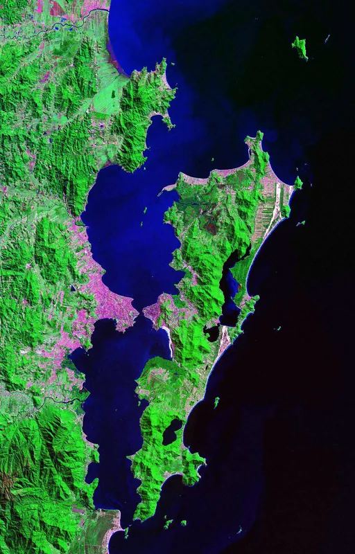
The eastern part of Serra da Nogueira extends toward the Tuela River valley, forming a more gently sloping flank of the main massif. This side of the mountain is characterized by more intensive agricultural use, with terraced hillsides and small olive groves defining the landscape. Despite human influence, significant stands of Pyrenean oak remain, marking the transition toward the more continental climate of central Spain. The geology continues to feature metamorphic rocks, though quartz vein inclusions are more frequent in the eastern sector. Historically, this area served as an important communication route between Bragança and the eastern border fortifications. The small villages in this sector maintain a traditional lifestyle closely tied to the seasonal cycles of nature. Due to the lower altitude compared to the central peak, the vegetation is more diverse, incorporating Mediterranean species such as rockrose and lavender.
- Location: Portugal
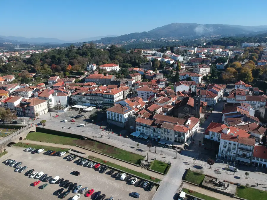
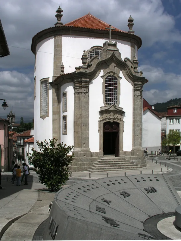
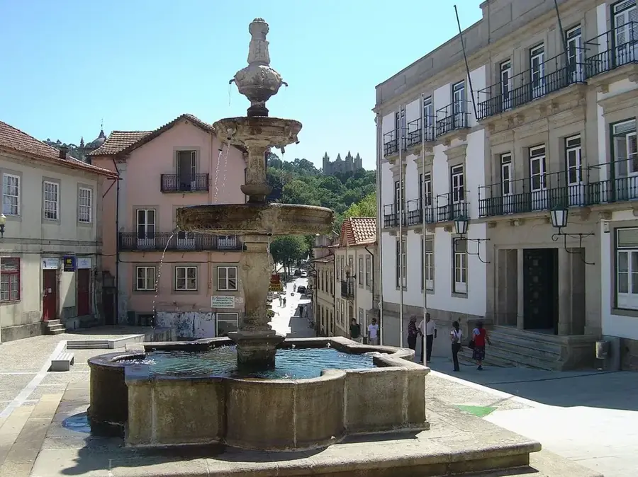
- Top sights: Castro de Ciragata · Castelo de Alfenim (ou de Alvelina) · Pelourinho de Carocedo
- Nearby: Macedo de Cavaleiros (25 km)
Best time to visit & climate
The most pleasant time to visit is Jun–Aug.
| Jan | Feb | Mar | Apr | May | Jun | Jul | Aug | Sep | Oct | Nov | Dec | |
|---|---|---|---|---|---|---|---|---|---|---|---|---|
| Avg °C | 4 | 5 | 8 | 10 | 14 | 19 | 23 | 22 | 19 | 13 | 8 | 4 |
| Rain mm | 63 | 49 | 58 | 56 | 40 | 26 | 13 | 15 | 27 | 77 | 63 | 63 |
📋 Practical info
Geography
Facts
- Forms the geographic transition toward the Tuela River valley
- Higher influence of olive and vineyard cultivation than the center
- Geological formations feature prominent quartz veins
- Historic communication route toward the Spanish border
- Presence of Mediterranean flora like lavender and rockrose
- Traditional stone architecture preserved in local villages
Explore nearby
Notable places around
Route planner — Car & Motorhome
Where do you start? We build the route here, with stops and country notes along the way.
© OpenStreetMap contributors · OpenRouteService
Sights in the town Serra da Nogueira East (4)
Sights nearby
Frequently asked questions
What distinguishes the east of Serra da Nogueira?
Are there panoramic views?
What animals live in the Sabor Valley?
How do you reach the eastern part?
Are there hiking trails?
Serra da Nogueira East: where is it located?
Serra da Nogueira East: what is there to see?
Serra da Nogueira East: when is the best time to visit?
Serra da Nogueira East: why is it worth visiting?

Nearby cities