Plizio Visual Lab
Island Beskids
Weather…
Water temperature…
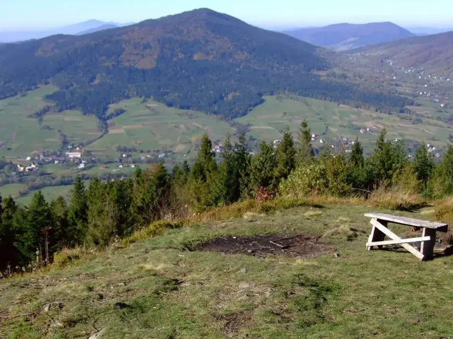
The Island Beskids are a unique mountain range in the Outer Western Carpathians of southern Poland, distinguished by their unusual morphological structure. The relief consists of isolated, steep peaks that are not connected by continuous ridges but are instead separated by deep, broad valleys. During autumn temperature inversions, dense fog fills the valleys while the forested summits protrude above, resembling an archipelago in a white ocean, which gave the range its evocative name. The highest point is Mogielica, standing at 1171 meters, offering panoramic views stretching as far as the Tatra and Pieniny mountains. Geologically, the area is dominated by Carpathian flysch, where layers of hard sandstone have resisted erosion to form these distinct 'island' peaks. The region is renowned for its unspoiled nature, rich mountain meadows, and traditional pastoralism that has shaped the landscape for centuries.
- Location: Poland
- Top sights: Rezerwat Śnieżnica · Ćwilin · Kiczorka
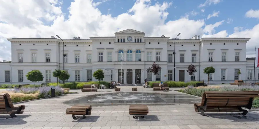
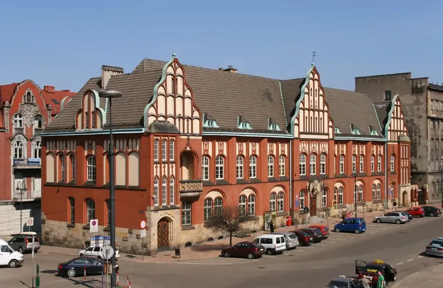
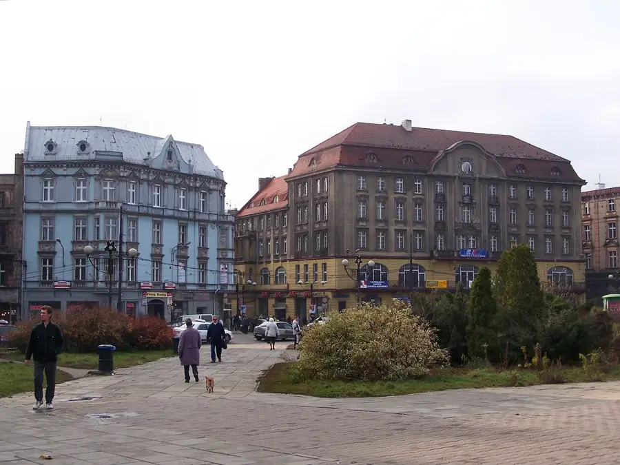
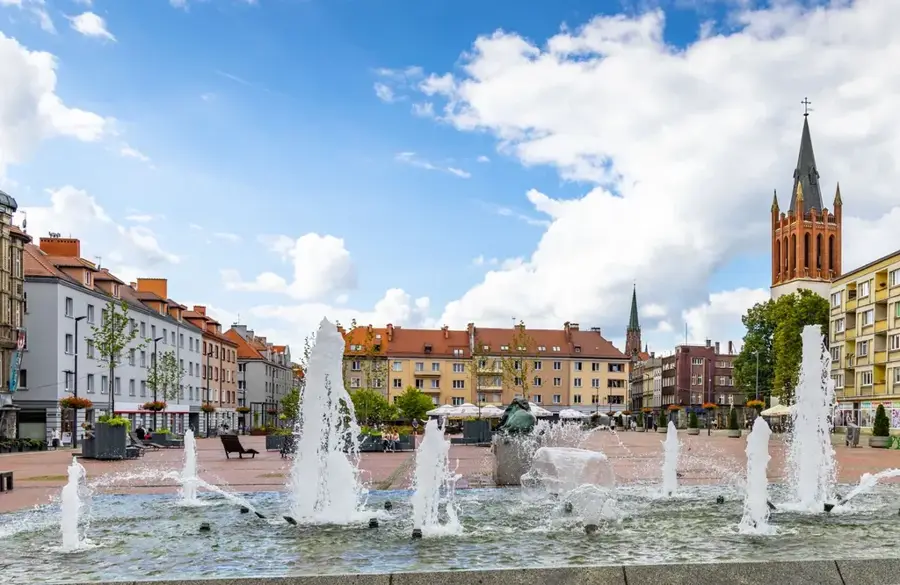
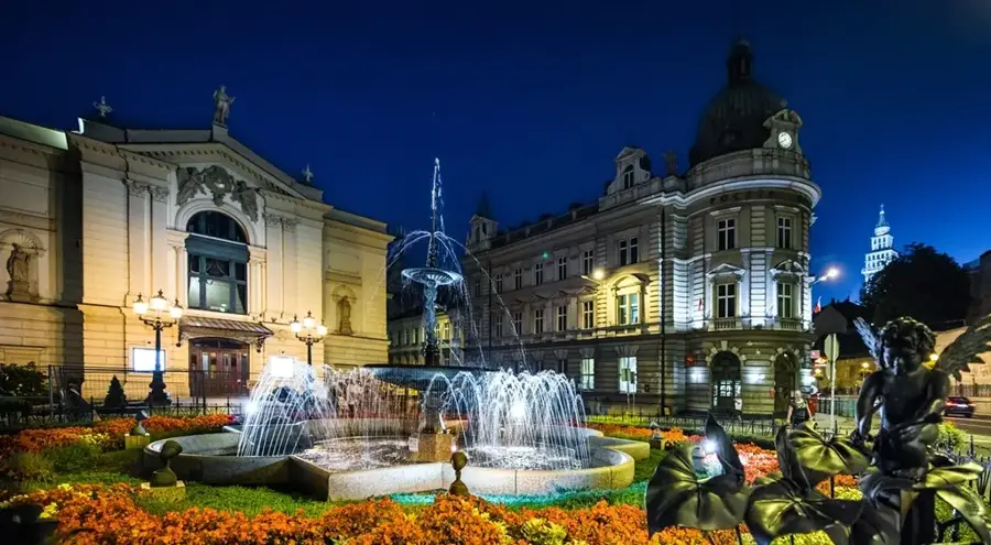
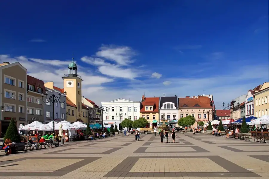
- Nearby: Limanowa (17 km)
Best time to visit & climate
The most pleasant time to visit is Jun–Aug.
| Jan | Feb | Mar | Apr | May | Jun | Jul | Aug | Sep | Oct | Nov | Dec | |
|---|---|---|---|---|---|---|---|---|---|---|---|---|
| Avg °C | -5 | -4 | 0 | 6 | 11 | 15 | 17 | 17 | 12 | 7 | 2 | -3 |
| Rain mm | 56 | 55 | 61 | 64 | 117 | 124 | 137 | 96 | 89 | 71 | 56 | 53 |
📋 Practical info
Geography
Facts
- Mogielica is the highest summit of the range at 1171 meters.
- The name was coined by Kazimierz Sosnowski due to the island-like effect.
- The range is geologically composed almost entirely of Carpathian flysch.
- Temperature inversions occur most frequently during autumn and spring.
- A nature reserve on Mogielica protects the habitat of the capercaillie.
- There are over 100 marked hiking trails connecting the isolated peaks.
Explore nearby
Notable places around
Route planner — Car & Motorhome
Where do you start? We build the route here, with stops and country notes along the way.
© OpenStreetMap contributors · OpenRouteService
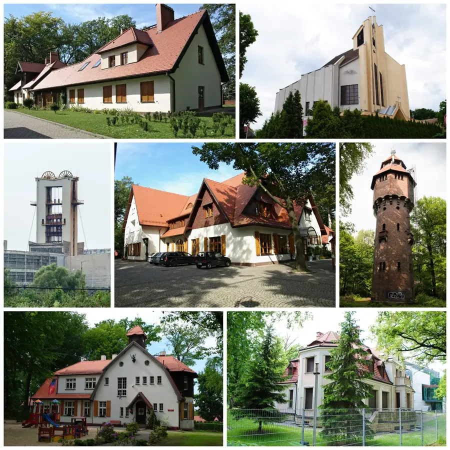
Sights in the town Island Beskids (6)
Sights nearby
Frequently asked questions
Why are they called the 'Island Beskids'?
What is the highest mountain?
When is the best time to see the 'island' phenomenon?
Are the hiking trails demanding?
What is the landmark of Limanowa?
Island Beskids: where is it located?
Island Beskids: what is there to see?
Island Beskids: when is the best time to visit?
Island Beskids: why is it worth visiting?

Nearby cities