Plizio Visual Lab
Río Abiseo National Park
Weather…
Water temperature…
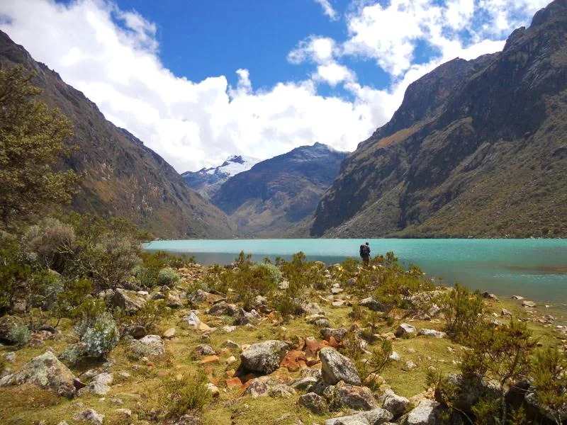
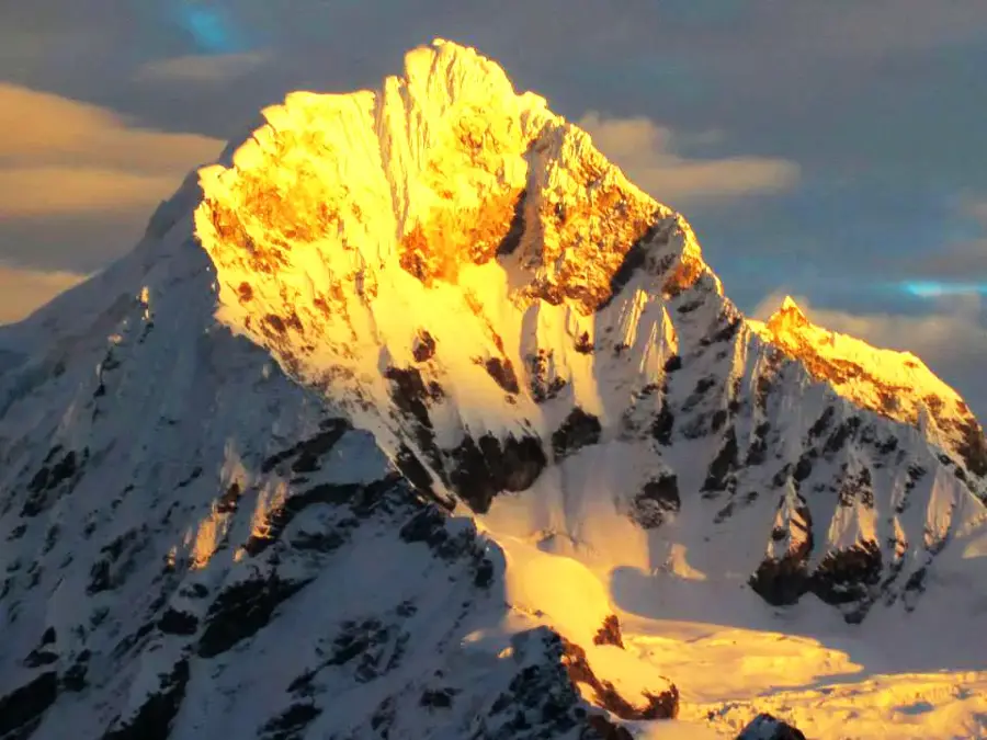
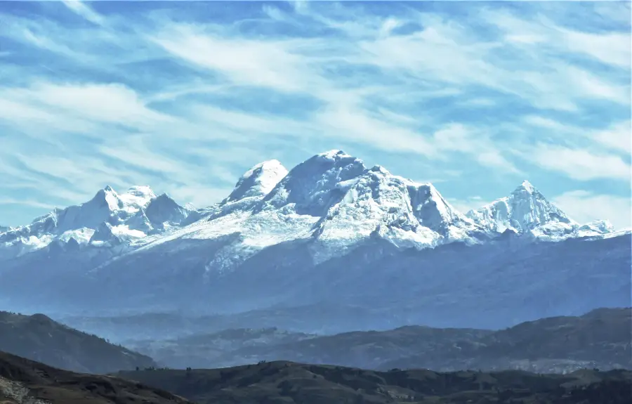
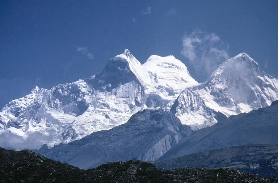
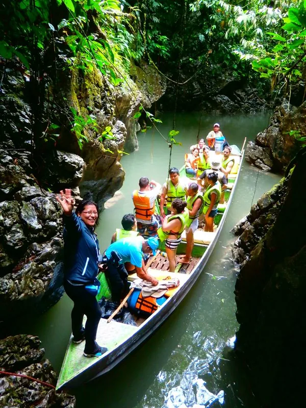
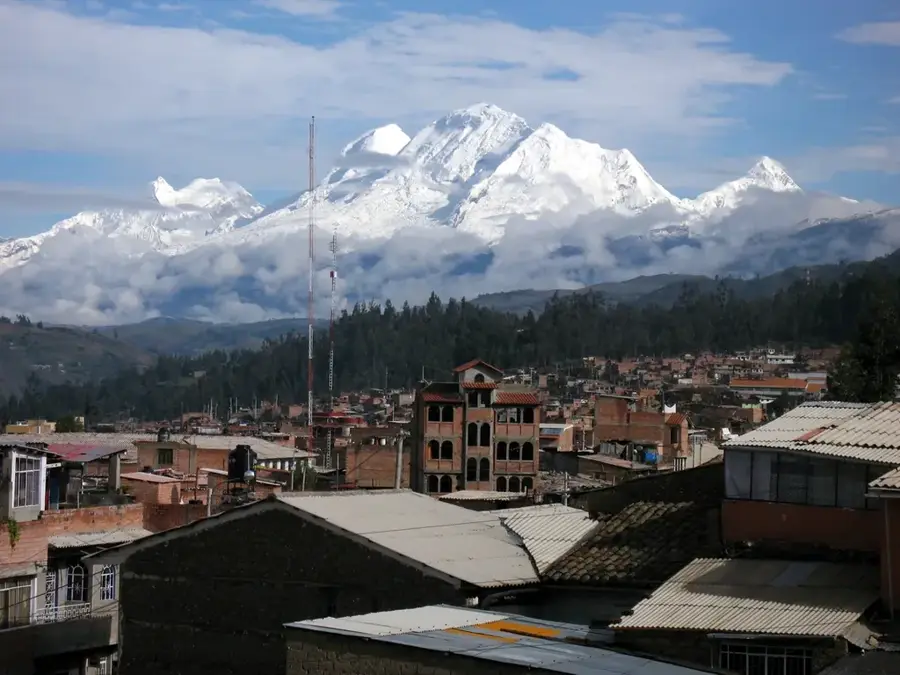
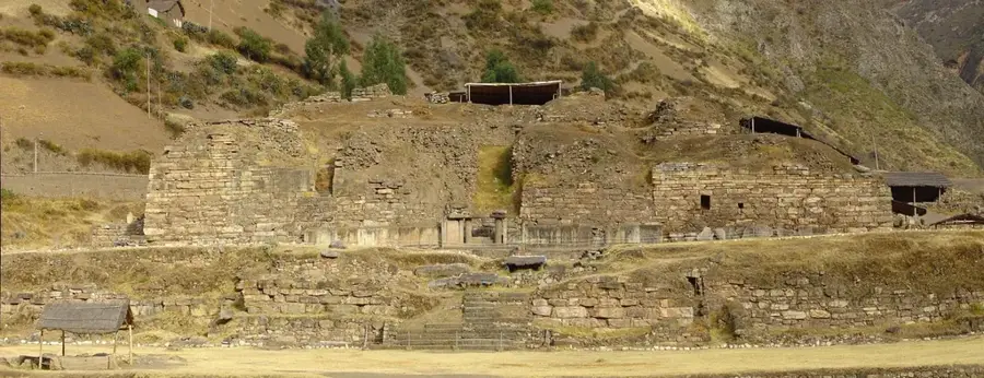
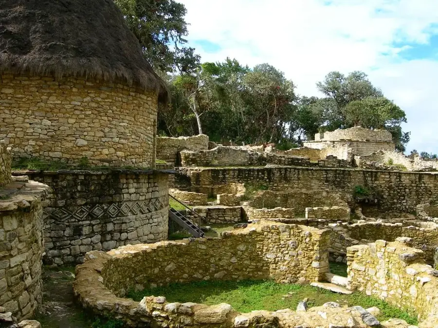
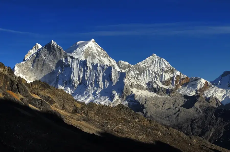
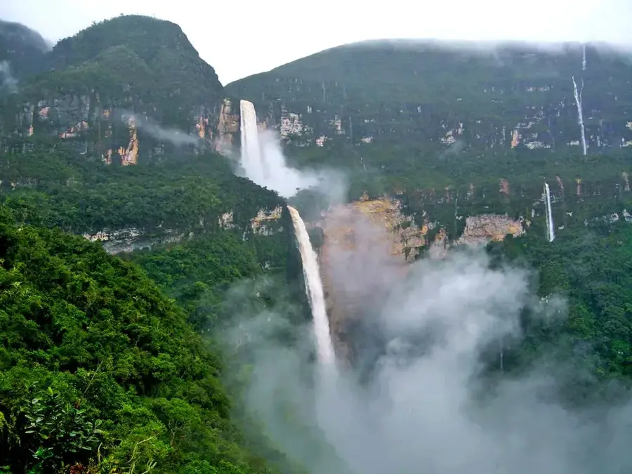
The Río Abiseo National Park is located in the San Martín region of Peru and was established in 1983 to protect the unique flora and fauna of the montane rainforests. Spanning an area of approximately 274,520 hectares, the park provides a vital habitat for numerous endangered species, such as the yellow-tailed woolly monkey, which was once thought to be extinct. Beyond its ecological value, the park is famous for its archaeological significance, containing over 36 pre-Columbian sites like Gran Pajatén, a monumental complex built by the Chachapoya culture. In 1990, UNESCO designated the area a World Heritage site for both its natural and cultural importance. The park's diverse geography ranges from high-altitude Andean tundras to dense cloud forests, supporting an immense level of biological diversity. Access to the park is strictly controlled to preserve the fragile ecological balance and the ancient ruins from human impact. It stands today as a primary center for scientific research into the history of high-altitude civilizations and the biodiversity of the Eastern Andes.
- Location: Peru
- Nearby: Huaraz (57 km)
Best time to visit & climate
The most pleasant time to visit is Aug–Oct.
| Jan | Feb | Mar | Apr | May | Jun | Jul | Aug | Sep | Oct | Nov | Dec | |
|---|---|---|---|---|---|---|---|---|---|---|---|---|
| Avg °C | 14 | 14 | 14 | 14 | 13 | 13 | 13 | 13 | 14 | 15 | 15 | 15 |
| Rain mm | 60 | 62 | 80 | 67 | 41 | 20 | 20 | 15 | 25 | 52 | 65 | 55 |
📋 Practical info
Geography
Facts
- The park was officially established as a national park in 1983.
- It covers a total area of approximately 274,520 hectares in the San Martín region.
- UNESCO designated the park a World Heritage site in 1990 for both cultural and natural criteria.
- Gran Pajatén is the most famous archaeological site located within the park boundaries.
- The park is home to the critically endangered yellow-tailed woolly monkey.
- Over 36 distinct archaeological sites have been documented throughout the park's territory.
Explore nearby
Notable places around
Route planner — Car & Motorhome
Where do you start? We build the route here, with stops and country notes along the way.
© OpenStreetMap contributors · OpenRouteService
Sights nearby
Frequently asked questions
Is the park accessible to tourists?
What makes the park so special?
Are there researchers who visit the park?
Which region does the park cover?
Why is entry prohibited?
Río Abiseo National Park: where is it located?
Río Abiseo National Park: when is the best time to visit?
Río Abiseo National Park: why is it worth visiting?

Nearby cities
History & landmarks
Nature
More places