Plizio Visual Lab
Lake Titicaca
Weather…
Water temperature…
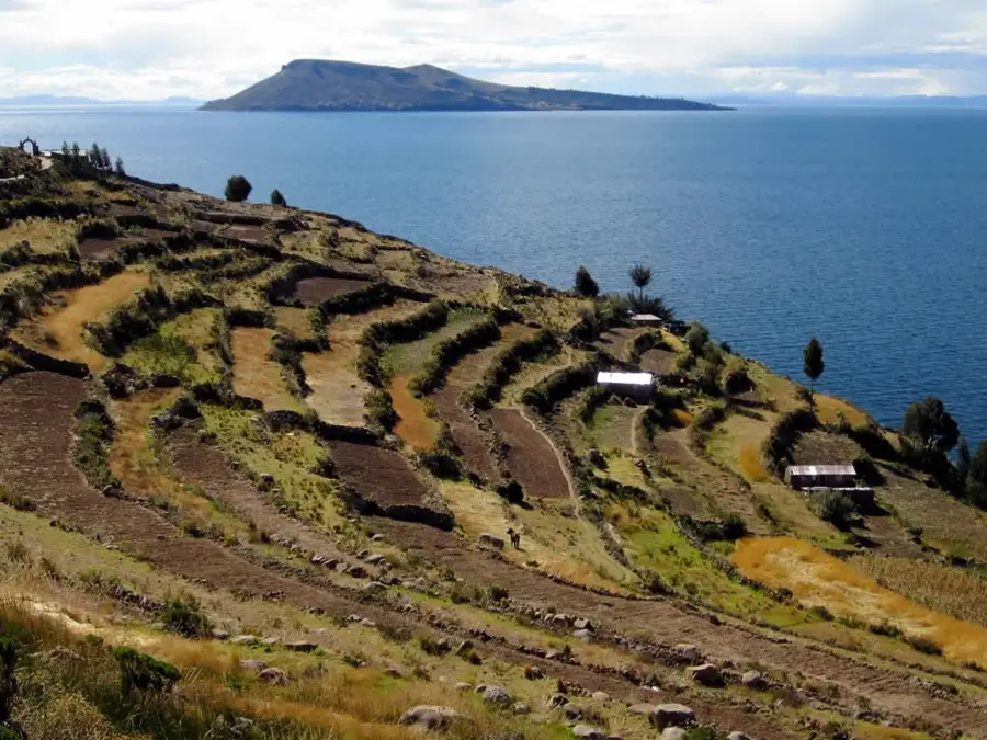
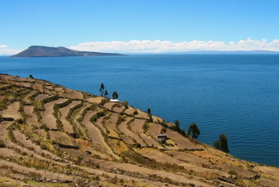
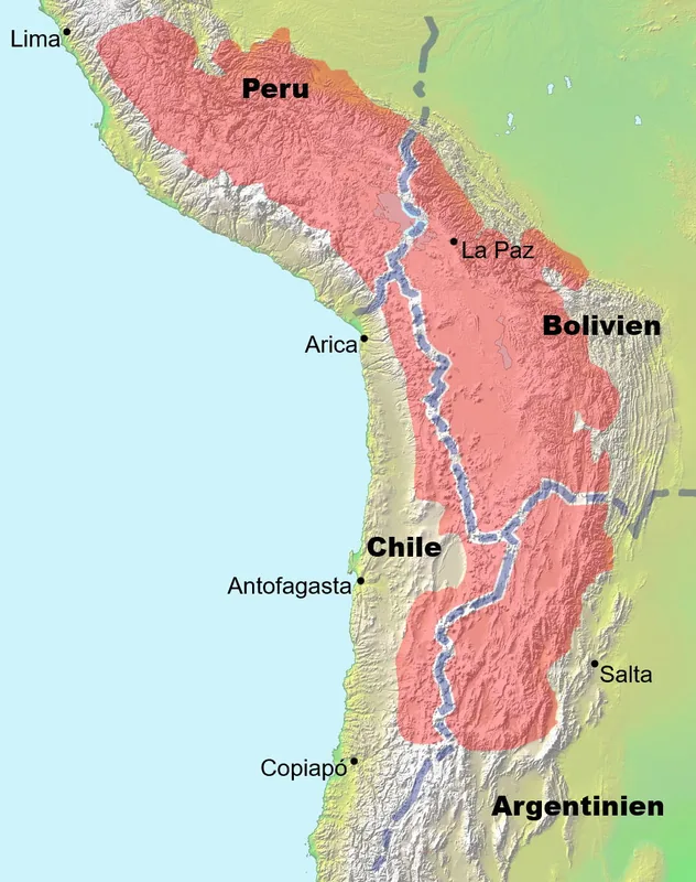
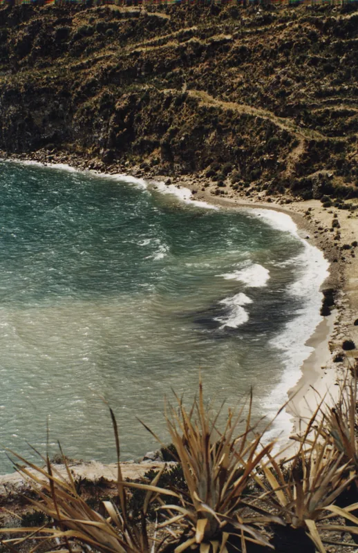
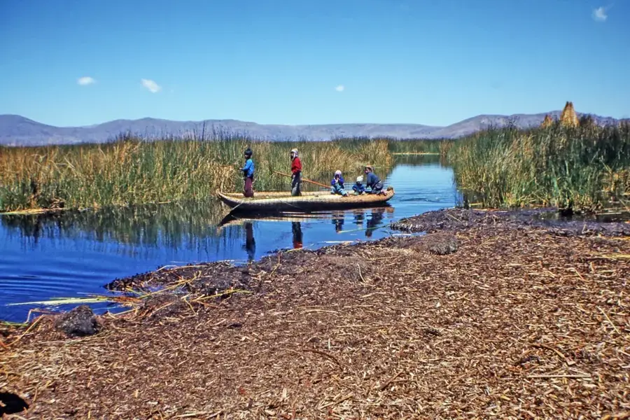
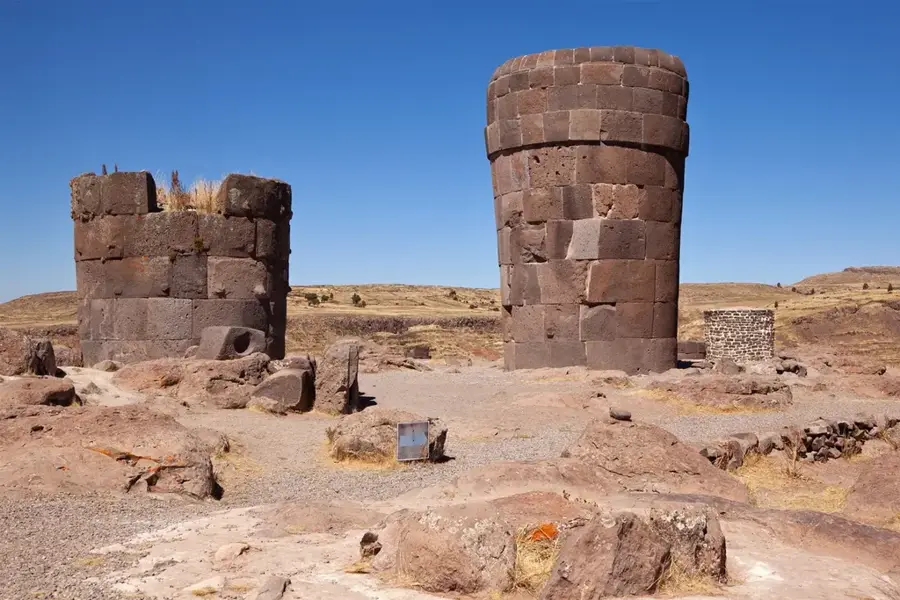
Lake Titicaca is situated at an elevation of 3,812 meters in the Andes Mountains on the border between Peru and Bolivia, making it the highest commercially navigable lake in the world. Covering approximately 8,372 square kilometers, it is the largest lake in South America by water volume and a vital freshwater resource for the Altiplano region. In Incan mythology, the lake is revered as the birthplace of the sun and the first Incas, highlighting its immense spiritual significance. The lake is world-famous for the floating islands of the Uros people, which are manually constructed from layers of dried totora reeds. It consists of two main sub-basins connected by the Strait of Tiquina: Lago Grande and Lago Huiñaymarca. Ecologically, Titicaca supports several endemic species, including the endangered Titicaca water frog, which has adapted to the high-altitude conditions. The surrounding landscape is dotted with ancient archaeological sites from the Tiwanaku and Inca cultures, reflecting thousands of years of human habitation.
Best time to visit & climate
The most pleasant time to visit is May, Sep, Nov.
| Jan | Feb | Mar | Apr | May | Jun | Jul | Aug | Sep | Oct | Nov | Dec | |
|---|---|---|---|---|---|---|---|---|---|---|---|---|
| Avg °C | 10 | 10 | 10 | 9 | 9 | 8 | 7 | 8 | 9 | 10 | 11 | 10 |
| Rain mm | 110 | 110 | 74 | 35 | 13 | 6 | 9 | 9 | 21 | 43 | 36 | 93 |
📋 Practical info
Geography
Facts
- Lake Titicaca's maximum depth is measured at 281 meters near the eastern shore.
- The lake contains a total of 41 islands, some of which are densely populated.
- It is estimated that the lake has been a center of human settlement for over 3,000 years.
- Evaporation accounts for 95% of the water loss from the lake's basin.
- The Titicaca water frog is unique for its excessive skin folds used for breathing underwater.
- The Peruvian side of the lake was designated a Ramsar site in 1997 to protect its wetlands.
Explore nearby
Notable places around
Route planner — Car & Motorhome
Where do you start? We build the route here, with stops and country notes along the way.
© OpenStreetMap contributors · OpenRouteService
Sights nearby
Frequently asked questions
Can you visit the Uros floating islands?
Is the water in Lake Titicaca very cold?
How long does a trip on the lake take?
Should you bring sunscreen?
When is the best travel time?
Lake Titicaca: where is it located?
Lake Titicaca: when is the best time to visit?
Lake Titicaca: why is it worth visiting?

History & landmarks
Nature

More places