Plizio Visual Lab
Chincana Ruins

Weather…
Water temperature…
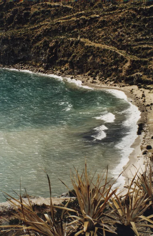
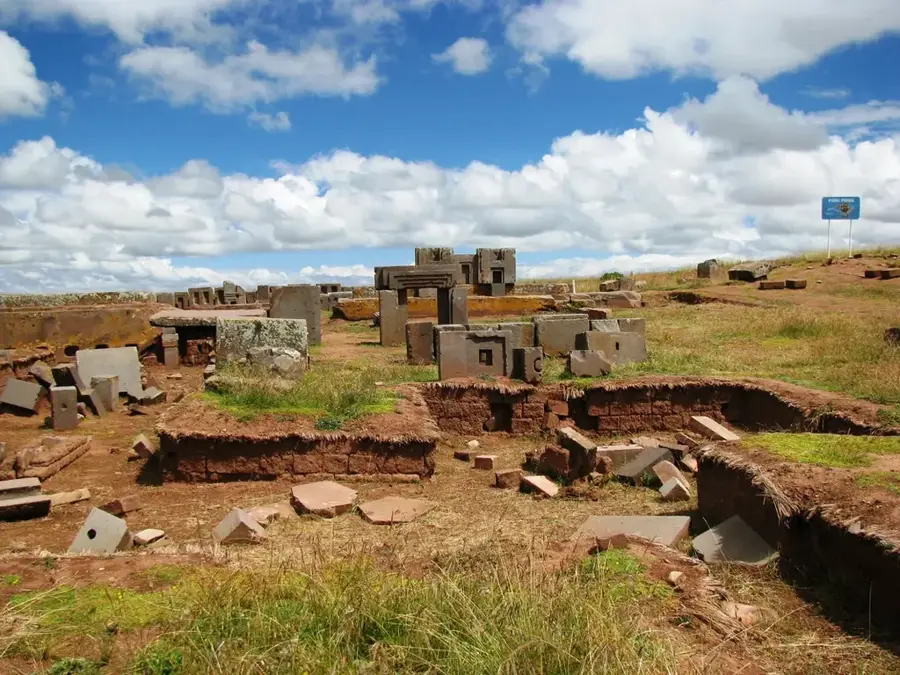
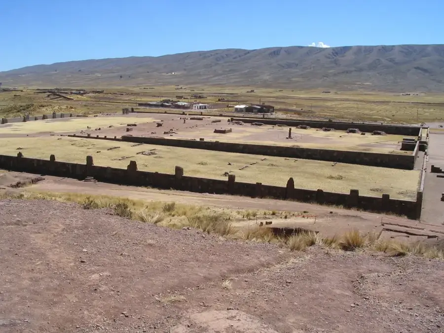
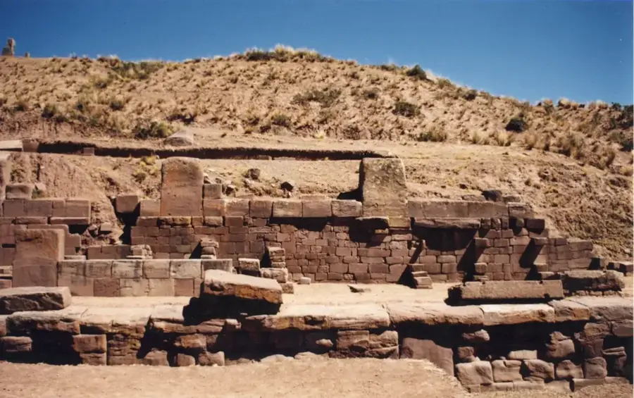
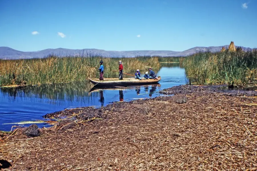
The Chincana ruins are located on the northern end of Isla del Sol (Island of the Sun) in Lake Titicaca, Bolivia. The site consists of a complex labyrinth of walls and narrow passages constructed from stone and mud mortar. Its name, Chincana, translates to 'the place where one gets lost' in the Aymara language, aptly describing the disorienting layout of the structure. Archaeologists believe the complex served during the Inca period as a sacred site or a residence for priests who guarded the nearby Sacred Rock. From its elevated position, the site has wide-open views of the cobalt-blue lake and the snow-capped peaks of the Cordillera Real. The architecture blends seamlessly into the island's terraced landscape, showcasing Inca engineering skills in remote environments. The site is deeply significant in Inca mythology, as the island is revered as the birthplace of the Sun and the first Inca rulers.
- Location: Bolivia
- Top sights: Las Huellas del Sol · Museo de Oro de Challapampa · Lost City
Best time to visit & climate
The most pleasant time to visit is May, Sep, Nov.
| Jan | Feb | Mar | Apr | May | Jun | Jul | Aug | Sep | Oct | Nov | Dec | |
|---|---|---|---|---|---|---|---|---|---|---|---|---|
| Avg °C | 9 | 9 | 9 | 8 | 8 | 7 | 6 | 7 | 8 | 9 | 9 | 9 |
| Rain mm | 152 | 137 | 98 | 54 | 27 | 19 | 22 | 24 | 29 | 59 | 64 | 123 |
📋 Practical info
Geography
Facts
- The ruins primarily date back to the Inca period (c. 15th century).
- The complex is located very close to the 'Sacred Rock' (Titi Khar'ka).
- The masonry consists of unhewn stones set in dry stone construction.
- The interior walls feature numerous small niches for placing ritual offerings.
- Isla del Sol is accessible only by boat, typically from the town of Copacabana.
- The Chincana complex is often referred to locally as 'El Palacio' (The Palace).
Explore nearby
Notable places around
Route planner — Car & Motorhome
Where do you start? We build the route here, with stops and country notes along the way.
© OpenStreetMap contributors · OpenRouteService
Sights in the town Chincana Ruins (7)
Ruinas de Chinkana📍 landmark
This complex archaeological site features a labyrinth of stone walls and narrow passages once used by Incan priests.
Sights nearby
Frequently asked questions
Where are the Chincana ruins located?
What does Chincana mean?
How do you reach the ruins?
What was the complex used for?
Is a separate ticket required?
Chincana Ruins: where is it located?
Chincana Ruins: what is there to see?
Chincana Ruins: when is the best time to visit?
Chincana Ruins: why is it worth visiting?

History & landmarks

Nature
More places