Plizio Visual Lab
Sirevåg
ℹ️Practical info — Sirevåg
▾
🌤 Weather — 5 days
📍 Nearby
Sights nearby
💡 Tips
- Sirevåg is a working fishing port; be mindful of commercial traffic and machinery while walking around the harbor.
- Visit the Sirevåg Kystfort (coastal fort); bring a flashlight if you want to explore the old bunker tunnels.
- The beaches of Jæren are nearby; though beautiful, the water is cold and currents can be strong, so swim with caution.
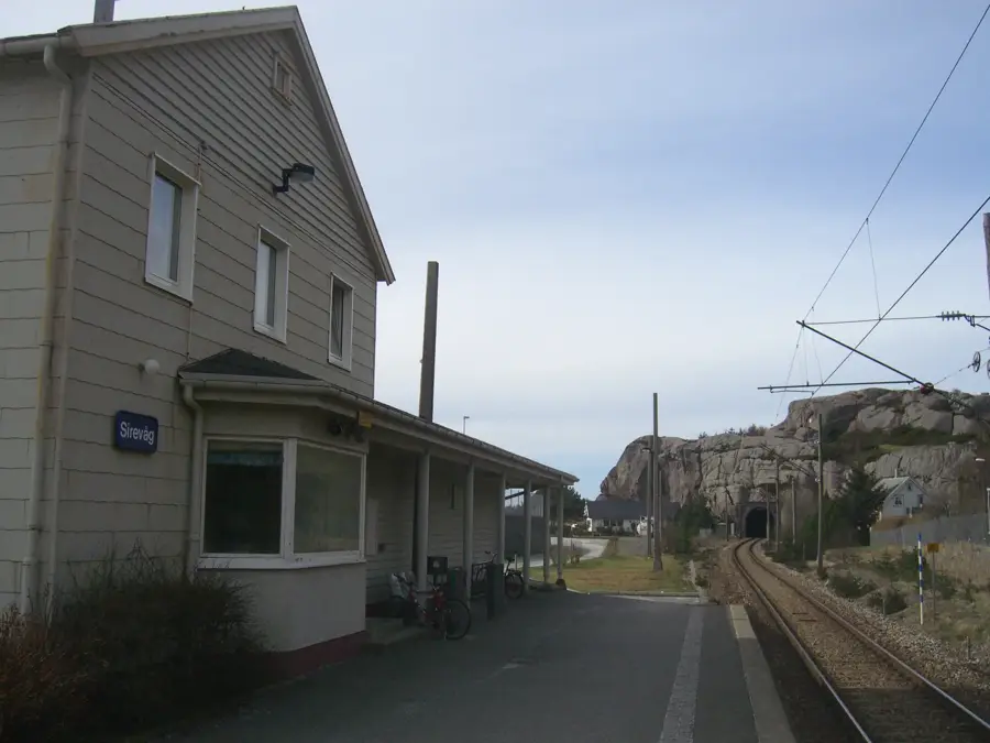
- The regional train (Jærbanen) stops in Sirevåg, making it an easy day trip from Stavanger without a car.
🍽 Food
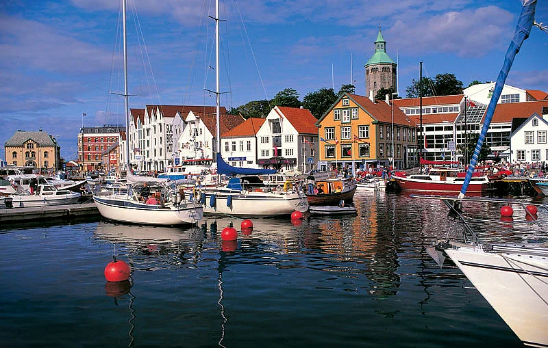
Buy freshly boiled shrimp straight from the fishing boats or the local seafood shop in the harbor.
Grab fresh breads or sweet buns (boller) from the highly rated local bakery.
Look for dishes using the local sandy-soil potatoes in any nearby eatery.
🛍 Shopping · 🧘 Quiet spots
Pick up canned or preserved local seafood specialties at the harbor shops.
Keep an eye out for farm stalls (gårdsutsalg) along the roads offering local honey, vegetables, and jam.
A peaceful spot with panoramic views of the ocean, excellent for a quiet walk.
A small local hike offering a great overlook of the village and the sea.
Water temperature…
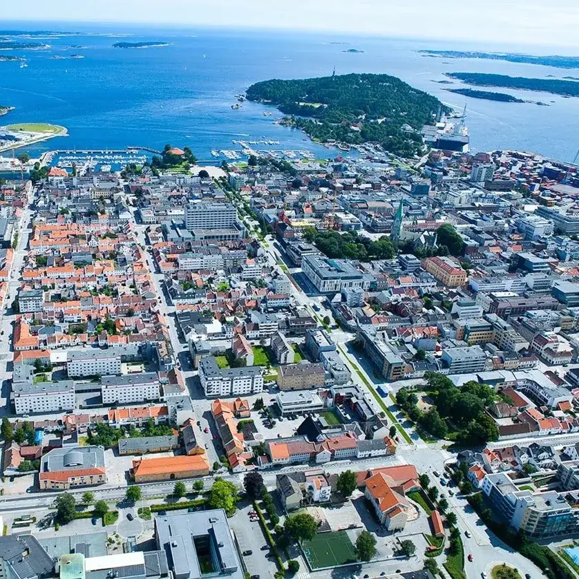
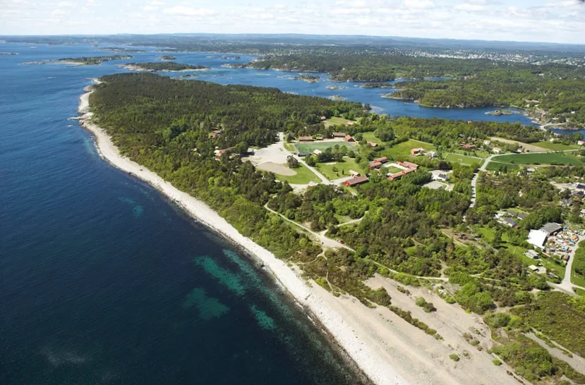
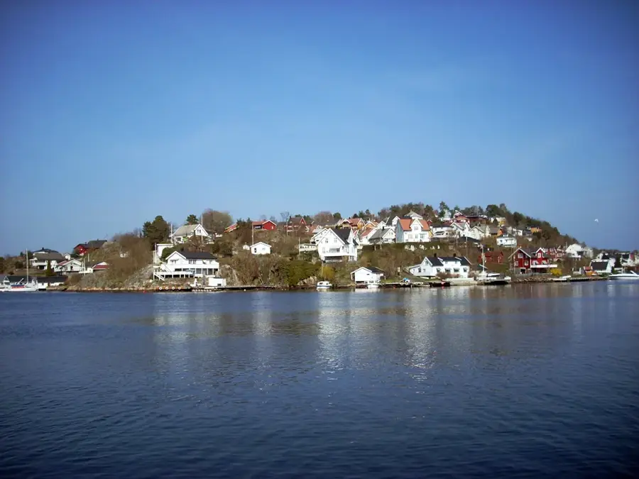
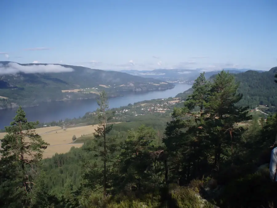
Sirevåg is a scenic fishing village on the southern coast of Rogaland, known for its sheltered natural harbor and shrimp fishing. The town marks the southern end of the Jæren coast, a unique landscape of flat agricultural land and endless sandy beaches. is Vedafjell, a former German fortification from World War II that now serves as a viewpoint, offering spectacular views over the harbor and the North Sea. Sirevåg is handy for hikers, as the 'Nordsjøvegen' trail passes through here, inviting tours along the jagged rocks and sand dunes. The village is easily accessible by the Jærbanen railway, making it a popular destination for day-trippers from Stavanger. In the local restaurants, you can enjoy top-quality seafood while watching the bustle of the fishing boats in the harbor. The combination of rugged rocky coast to the east and gentle sandy beaches to the west makes Sirevåg a nature experience full of contrasts.
- Location: Norway
- Top sights: Vedafjell · Kanonstilling WWII · Sirevåg Kystfort
- Nearby: Eigerøy (7 km)
- Population: ~643
Best time to visit & climate
The most pleasant time to visit is Jun–Aug.
| Jan | Feb | Mar | Apr | May | Jun | Jul | Aug | Sep | Oct | Nov | Dec | |
|---|---|---|---|---|---|---|---|---|---|---|---|---|
| Avg °C | 0 | -1 | 1 | 5 | 9 | 12 | 14 | 14 | 11 | 7 | 4 | 1 |
| Rain mm | 251 | 174 | 142 | 110 | 112 | 108 | 138 | 176 | 188 | 224 | 225 | 255 |
Geography
Facts
- Sheltered natural harbor
- Major shrimp fishing hub
- Vedafjell WWII viewpoint
- Gateway to Jæren beaches
- Station on the Jærbanen line
- Near white sandy dunes
- Part of the North Sea Road
- Rugged coastal hiking terrain
Explore nearby
Notable places around
Route planner — Car & Motorhome
Where do you start? We build the route here, with stops and country notes along the way.
© OpenStreetMap contributors · OpenRouteService
Sights in the town Sirevåg (10)
Frequently asked questions
Where is Sirevåg?
What are the 'Hitler's Teeth' (Hitlertenner)?
Does Sirevåg have a train station?
Are there any beaches?
What can you do at the harbor?
Sirevåg: where is it located?
Sirevåg: what is there to see?
Sirevåg: when is the best time to visit?
Sirevåg: why is it worth visiting?

Nearby cities