Plizio Visual Lab
Eigerøy
ℹ️Practical info — Eigerøy
▾
🌤 Weather — 5 days
📍 Nearby
Sights nearby
💡 Tips
- Wear sturdy hiking boots for the walk to Eigerøy Lighthouse; the terrain across the cliffs is uneven and rocky.
- The roads on the island are extremely narrow and winding; drive slowly and use the designated passing places.
- Bring binoculars if you enjoy bird watching, as the rocky coastline hosts a rich variety of birdlife.
- Buy picnic supplies before crossing the bridge from Egersund, as there are almost no shops or cafes on the island itself.
- Beware of strong coastal winds, and keep a safe distance from the edge especially when standing near steep cliffs.
🍽 Food
Buy local cheeses and cured meats in mainland Egersund to eat during your hike on the island.
Ferske reker are best bought directly from the fishing boats in the nearby Egersund harbor.
Norwegian cinnamon rolls from a mainland bakery make the great sweet snack for the lighthouse hike.
🛍 Shopping · 🧘 Quiet spots
Pick up wind-resistant clothing in mainland Egersund before heading out to the island.
Look for the Egersund Chokoladefabrik on the mainland to stock up on high-quality treats for the excursion.
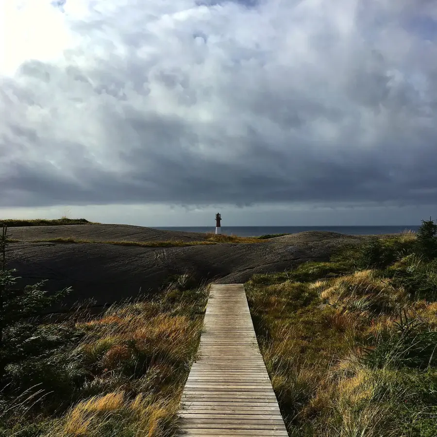
The beautiful, rugged coastal walk to the lighthouse, entirely away from car traffic.
A serene and rocky peninsula area convenient for solitary walks in nature.
Water temperature…
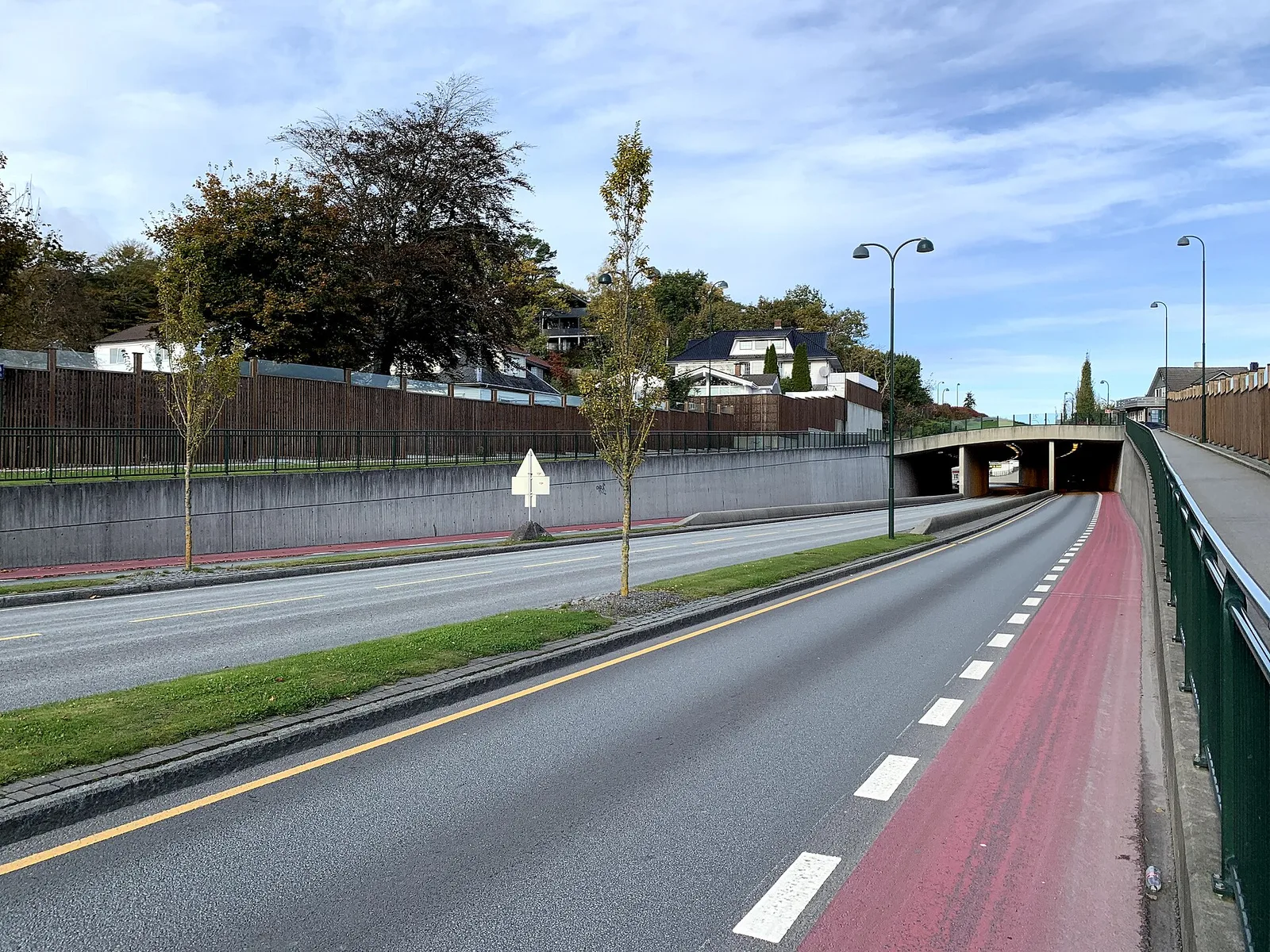
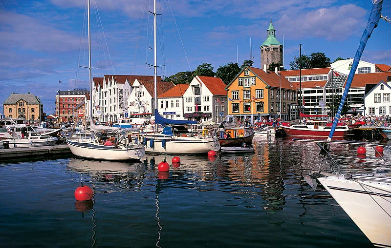
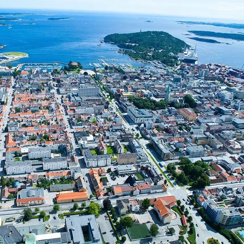
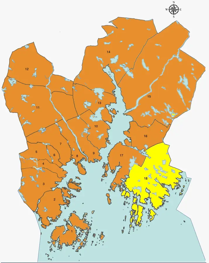
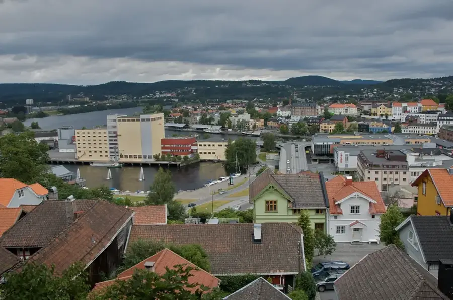
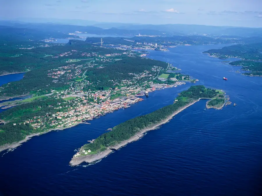
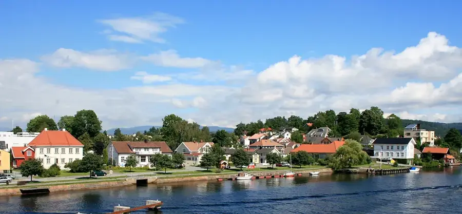
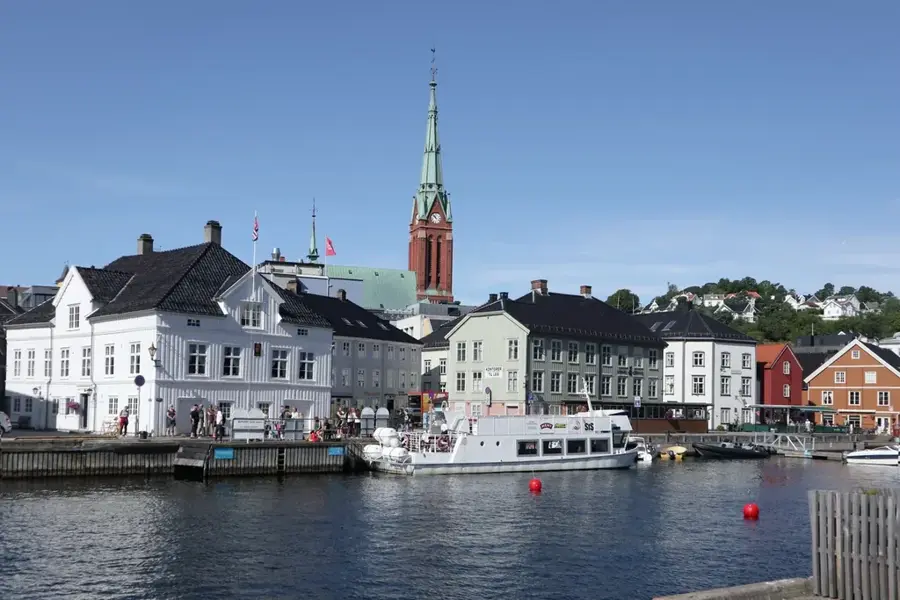
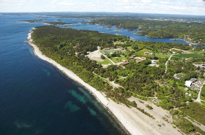
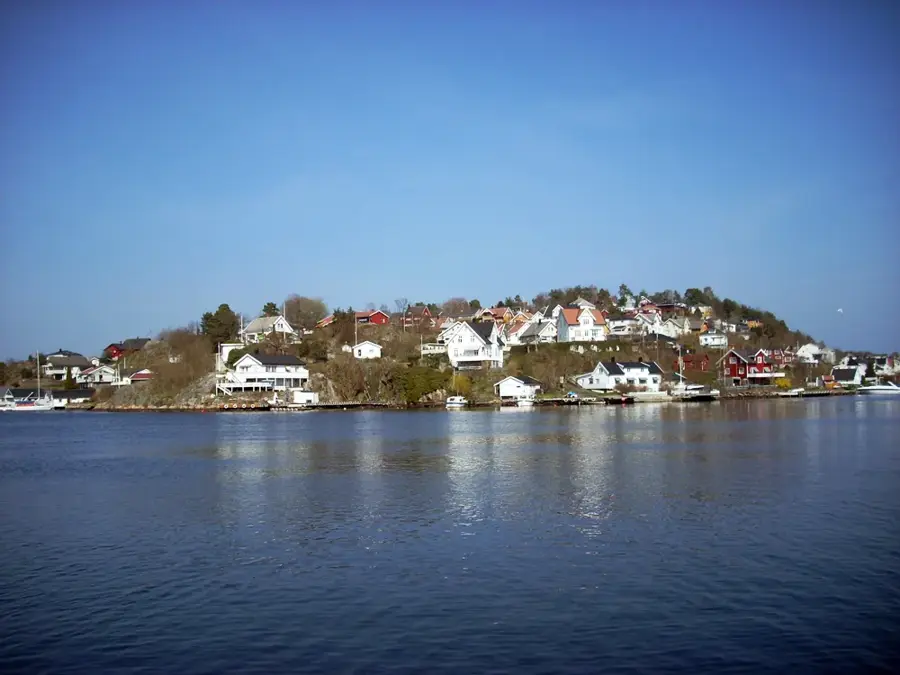
Eigerøy is an island in Eigersund municipality, located just off the town of Egersund on Norway's southwestern coast. The island is connected to the mainland via a bridge and plays a pivotal role in the region's industrial sector. A standout landmark is the Eigerøy Lighthouse (Eigerøy fyr), an imposing structure built in 1854 as Norway's first cast-iron lighthouse. Standing 32.9 meters tall, it marks the approach to the vital port of Egersund and is now a protected cultural heritage site. Economically, the island is dominated by major industrial operations, including the Aker Solutions shipyard, which manufactures critical modules for North Sea offshore oil platforms. Beyond heavy industry, Eigerøy features a rugged natural landscape with hiking trails through coastal heaths and along rocky inlets. Geologically, the island is part of the Magma Geopark and is noted for its rare anorthosite rock, which is also prevalent on the surface of the Moon.
- Location: Norway
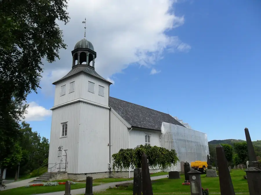
- Top sights: Eigerøy · Egersund fort
- Nearby: Sirevåg (7 km)
- Population: ~643
Best time to visit & climate
The most pleasant time to visit is Jun–Aug.
| Jan | Feb | Mar | Apr | May | Jun | Jul | Aug | Sep | Oct | Nov | Dec | |
|---|---|---|---|---|---|---|---|---|---|---|---|---|
| Avg °C | 0 | -1 | 1 | 5 | 9 | 12 | 14 | 14 | 11 | 7 | 4 | 1 |
| Rain mm | 251 | 174 | 142 | 110 | 112 | 108 | 138 | 176 | 188 | 224 | 225 | 255 |
Geography
Facts
- Eigerøy Lighthouse was built in 1854 as the first cast-iron lighthouse in Norway.
- The height of the lighthouse tower is 32.9 meters.
- The island has been connected to the mainland by a bridge since 1951.
- The anorthosite rock found on the island is identical to rock samples from the Moon.
- Aker Solutions operates one of Norway's largest shipyards on the island.
- The island covers an area of approximately 19.9 square kilometers.
Explore nearby
Notable places around
Route planner — Car & Motorhome
Where do you start? We build the route here, with stops and country notes along the way.
© OpenStreetMap contributors · OpenRouteService
Sights in the town Eigerøy (2)
Frequently asked questions
What is the main attraction on Eigerøy?
How do you get to the lighthouse?
Is Eigerøy connected to the mainland?
Are there swimming spots on the island?
What kind of nature can be expected?
Eigerøy: where is it located?
Eigerøy: what is there to see?
Eigerøy: when is the best time to visit?
Eigerøy: why is it worth visiting?

Nearby cities