Plizio Visual Lab
Frafjord
Weather…
Water temperature…
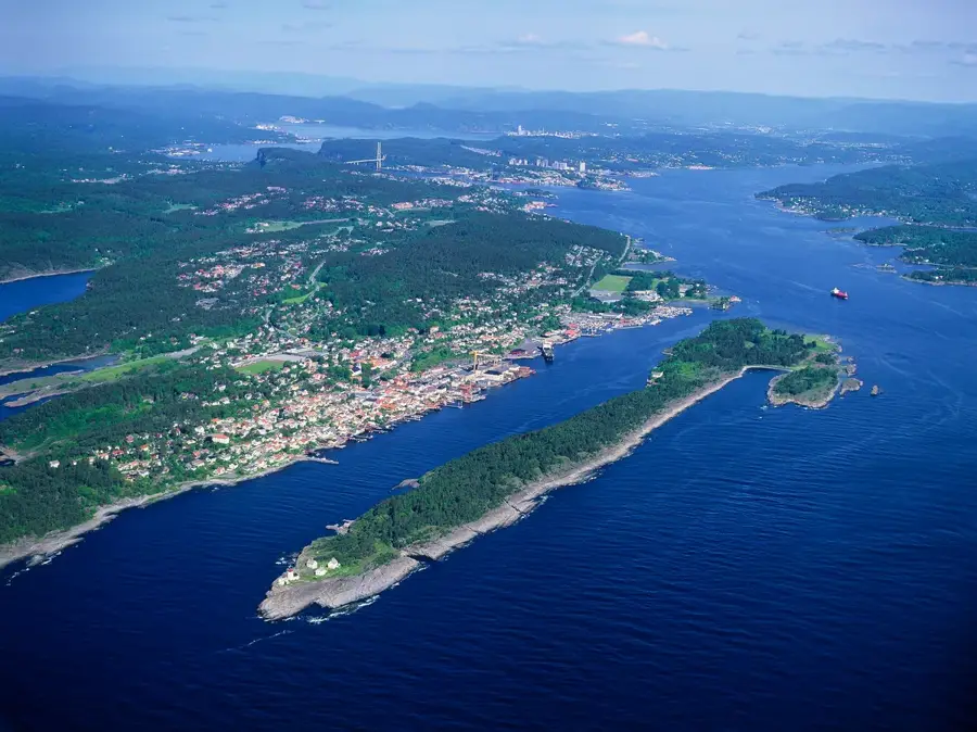
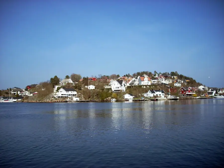
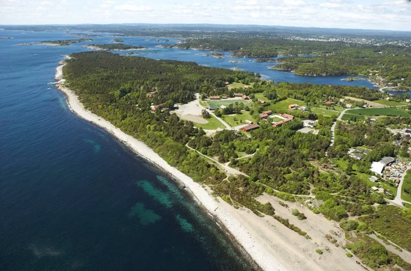
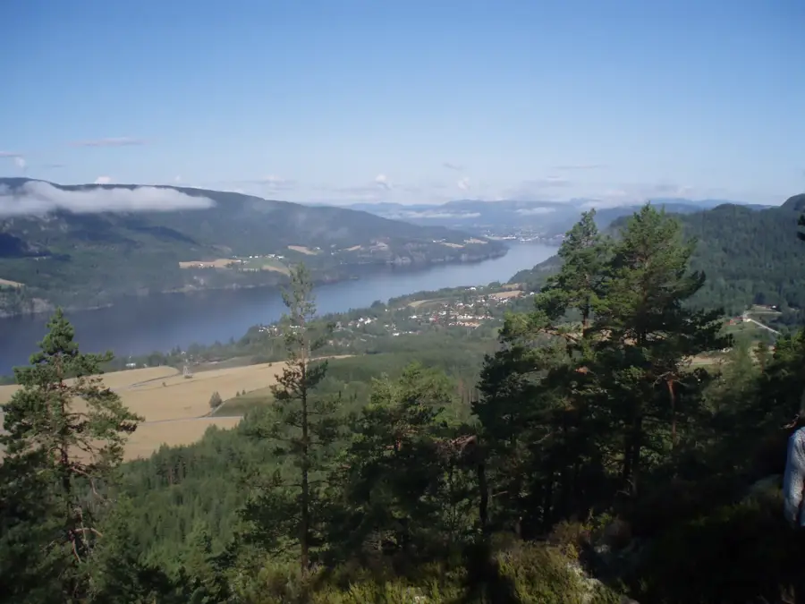
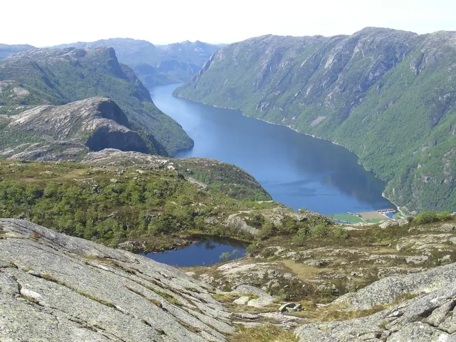
Frafjord is a village and a valley located in the municipality of Gjesdal within Rogaland county, Norway. The valley is approximately 25 kilometers long and was formed through glacial erosion, leading to its characteristic steep mountain walls that rise up to 700 meters above the sea level. At the end of the valley lies the Frafjord, a 6-kilometer long branch of the larger Høgsfjorden system. One of the most prominent natural features in the vicinity is the Månafossen waterfall, which drops 92 meters and is considered the tallest in the county. Historically, the area was dominated by sheep farming and mountain agriculture, while today it is significant for its hydroelectric power production and outdoor tourism. The local landscape is part of the Preikestolen mountain plateau region, offering numerous hiking trails through rugged terrain. Archaeological findings in the area indicate human presence dating back to the Iron Age, highlighting its long settlement history.
- Location: Norway
- Top sights: Gloppedalsura · Andre Kvile · Skudenibbå
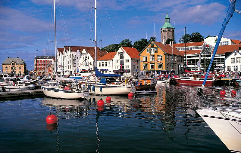
- Nearby: Høle (17 km)
📋 Practical info
Geography
Facts
- Located in Gjesdal municipality, Rogaland county.
- The Frafjorddalen valley extends for about 25 km.
- The Frafjord sea branch is 6 km long.
- Home to the 92-meter tall Månafossen waterfall.
- Mountain walls rise up to 700 meters vertically.
- Major site for regional hydroelectric power production.
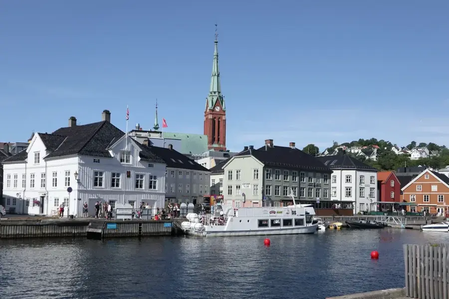
Explore nearby
Notable places around
Route planner — Car & Motorhome
Where do you start? We build the route here, with stops and country notes along the way.
© OpenStreetMap contributors · OpenRouteService
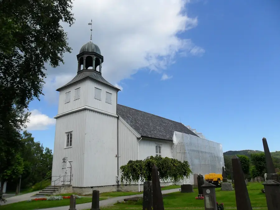
Sights in the town Frafjord (3)
Sights nearby
Frequently asked questions
Where is Frafjord valley located?
Which waterfall is the main destination?
How long is the hike to Månafossen?
Can you fish in Frafjord?
Are there places to eat nearby?
Frafjord: where is it located?
Frafjord: what is there to see?
Frafjord: why is it worth visiting?

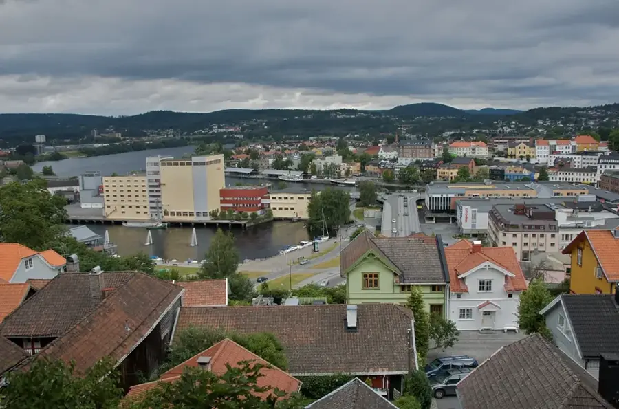
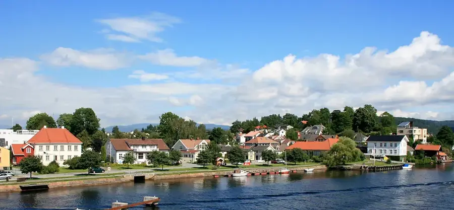
Nearby cities