Plizio Visual Lab
Preikestolen
ℹ️Practical info — Preikestolen
▾
🌤 Weather — 5 days
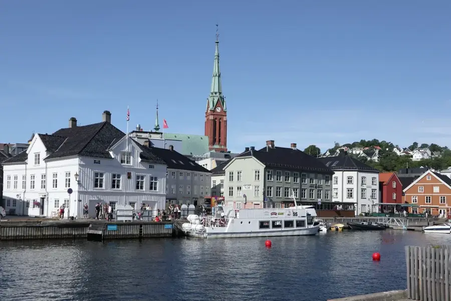
📍 Nearby
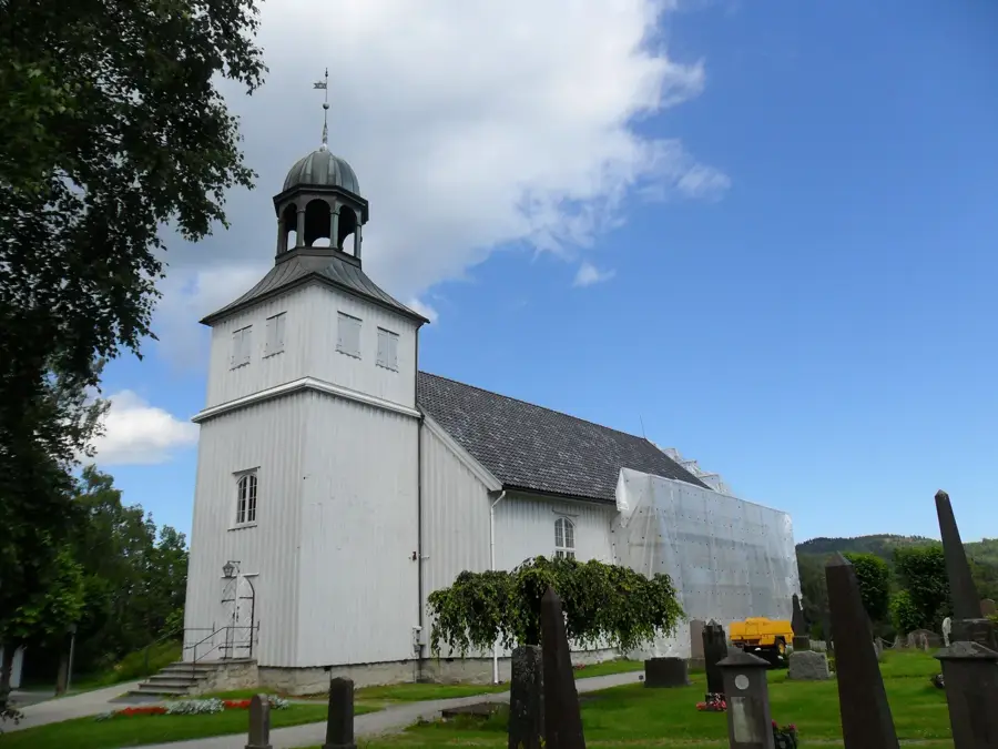
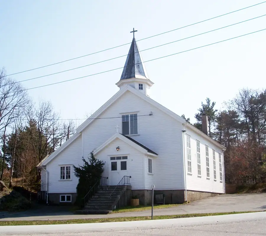
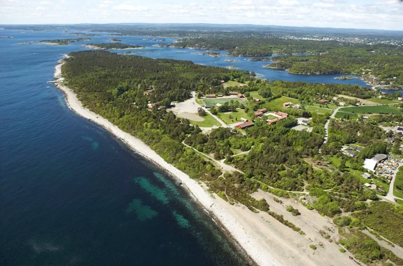
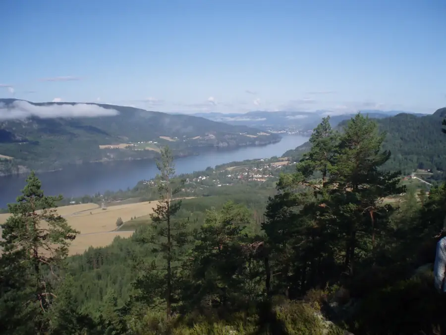
Sights nearby
💡 Tips
- Start the hike very early (before 7 AM) or late afternoon to avoid the massive crowds.
- Weather changes rapidly; wear layers and sturdy hiking boots, not sneakers.
- Parking at the base camp is expensive; consider taking the bus from Jørpeland or Stavanger.
- There are no fences at the edge of the cliff, stay safe and keep a respectful distance from the drop.
🍽 Food
Try the local game or fish dishes after the hike at the lodge.
The ultimate Norwegian hiking snack, grab this famous chocolate from any local supermarket before your trek.
Bring your own sandwiches and a thermos of hot coffee to enjoy right at the top.
🛍 Shopping · 🧘 Quiet spots
Sells essential wool layers and souvenirs just in case you forgot your hiking gear.
Look for traditional Dale of Norway wool sweaters in the nearby city before heading to the rock.
A beautiful, calm lake near the base camp where you can relax away from the main trail.
An alternative, less crowded hike starting from the exact same parking lot.
Water temperature…
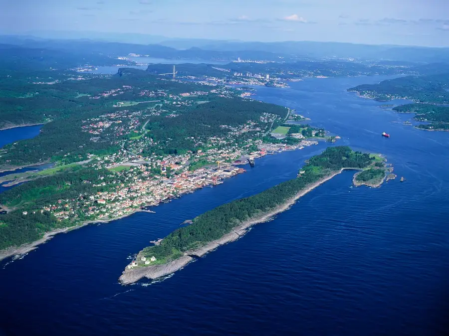
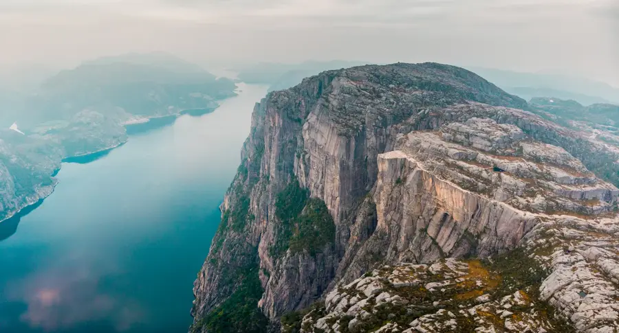
Preikestolen is Norway's most iconic natural landmark, attracting hundreds of thousands of visitors each year. The almost square plateau measures roughly 25 by 25 meters and features one of the most dramatic views on Earth. It was formed about 10,000 years ago due to frost wedging at the edge of the glacier that carved out the Lysefjord. A deep crack separates the plateau from the mountain, but geologists confirm the formation remains stable. The hike to Preikestolen is considered moderate by Norwegian standards. The well-maintained path features stone stairs partly constructed by Nepalese Sherpas. The hike takes about 4-5 hours round trip, covering a total of 8 kilometers. Along the way, there are several small mountain lakes suitable for a quick swim. The plateau itself has no safety railings, enhancing the sense of freedom but requiring careful movement. The best time to visit is from May to October. To avoid the largest crowds, it is recommended to start very early in the morning or in the late afternoon. The nearest city is Stavanger, connected via the Ryfylke tunnel and shuttle buses. For a different perspective, taking a boat tour on the Lysefjord allows you to appreciate the staggering 604-meter vertical drop from below.
- Location: Norway
- Top sights: Pulpit Rock · Fantahola · Hengjane
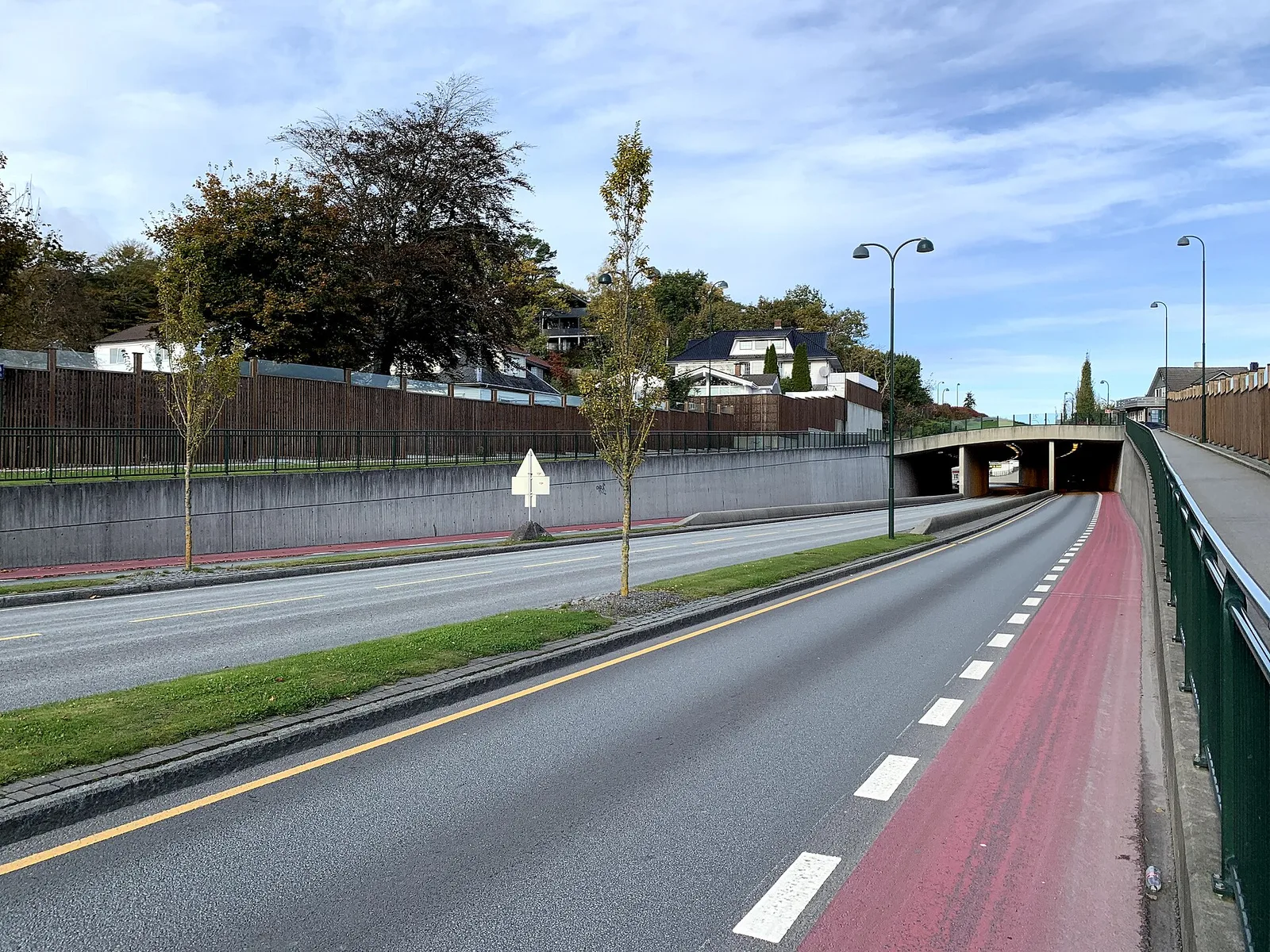
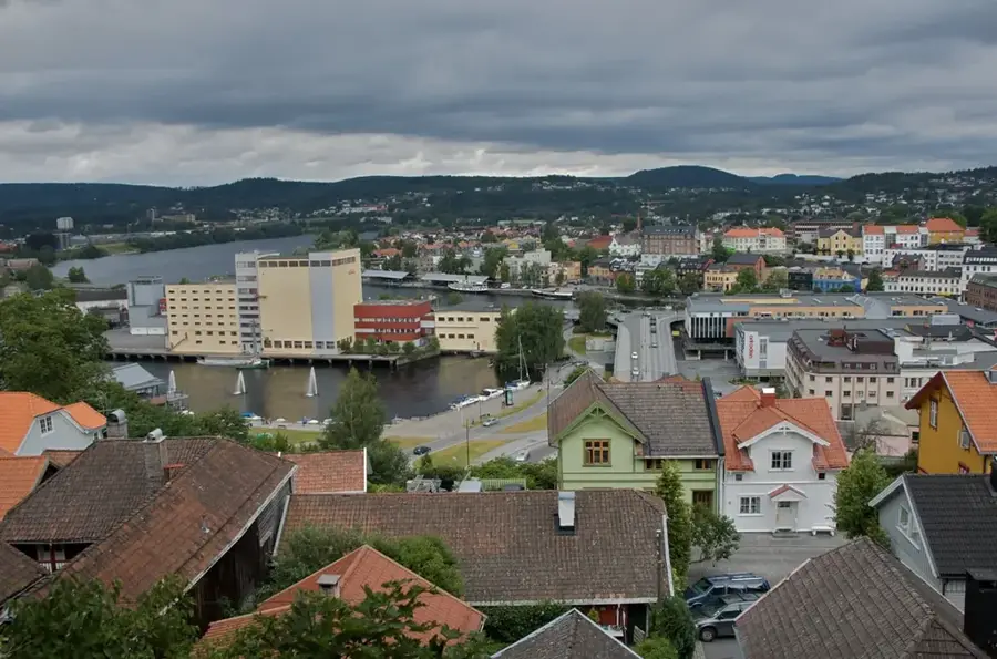
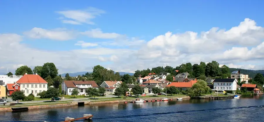
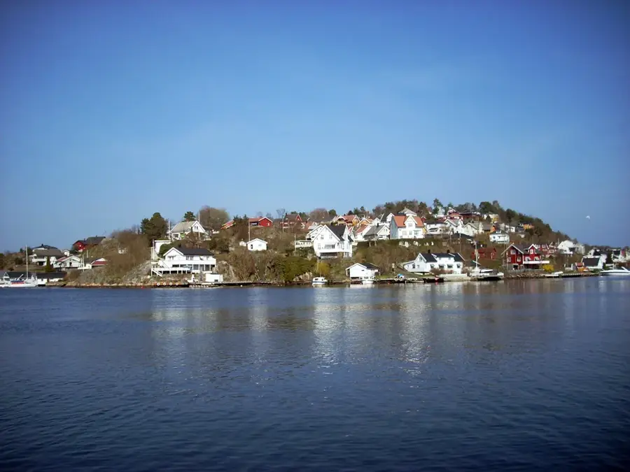
- Nearby: Forsand (5 km)
Best time to visit & climate
The most pleasant time to visit is Jun–Aug.
| Jan | Feb | Mar | Apr | May | Jun | Jul | Aug | Sep | Oct | Nov | Dec | |
|---|---|---|---|---|---|---|---|---|---|---|---|---|
| Avg °C | -3 | -3 | -1 | 2 | 8 | 11 | 14 | 13 | 10 | 5 | 1 | -1 |
| Rain mm | 283 | 193 | 169 | 124 | 125 | 127 | 156 | 189 | 213 | 234 | 249 | 292 |
Geography
Facts
- Height: 604 m above the fjord
- Plateau size: approx. 25 x 25 m
- 8 km hiking trail (total)
- Over 300,000 visitors per year
- Mission Impossible 6 filming location
- Formed approx. 10,000 years ago
- No safety railings on the edge
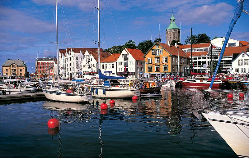
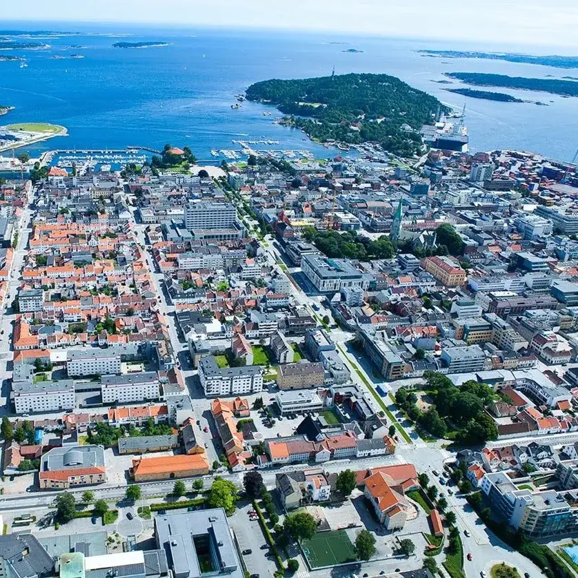
- Located near the city of Stavanger
Explore nearby
Notable places around
Route planner — Car & Motorhome
Where do you start? We build the route here, with stops and country notes along the way.
© OpenStreetMap contributors · OpenRouteService
Sights in the town Preikestolen (7)
Frequently asked questions
How difficult is the path to Preikestolen?
Is the platform fenced or secured?
When are there the fewest people?
Is there a parking fee?
Can you reach Preikestolen by boat?
Preikestolen: where is it located?
Preikestolen: what is there to see?
Preikestolen: when is the best time to visit?
Preikestolen: why is it worth visiting?

Nearby cities