Plizio Visual Lab
Bokn
ℹ️Practical info — Bokn
▾
🌤 Weather — 5 days
📍 Nearby
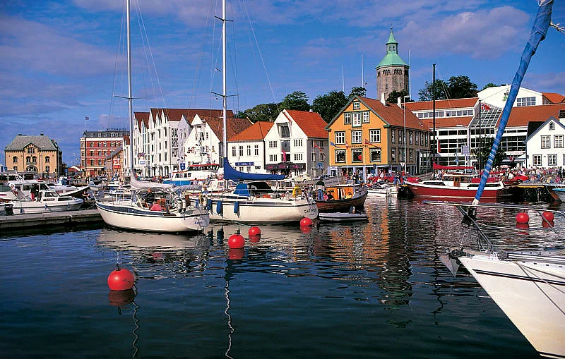
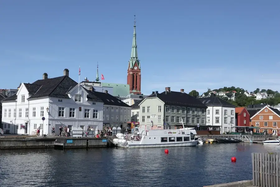
Sights nearby
💡 Tips
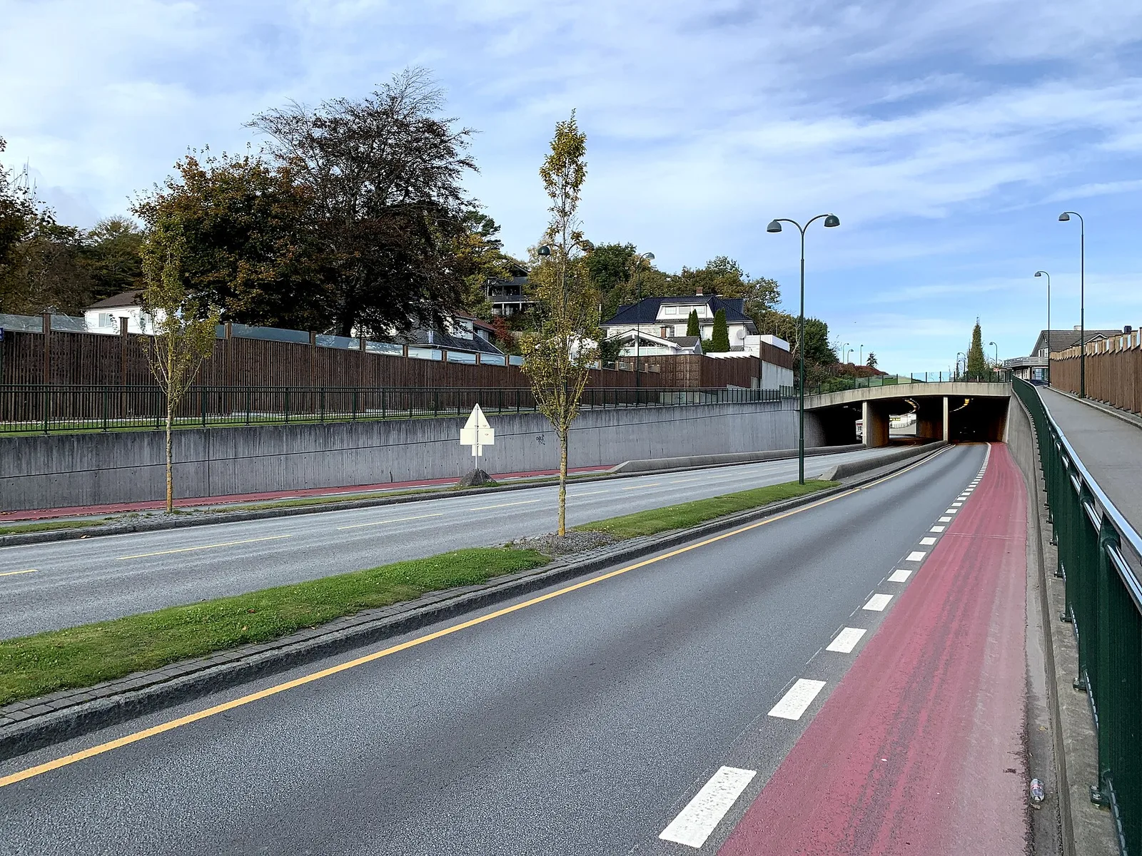
- The E39 highway runs right through Bokn, making it easy to reach by car, but expect heavy traffic during summer.
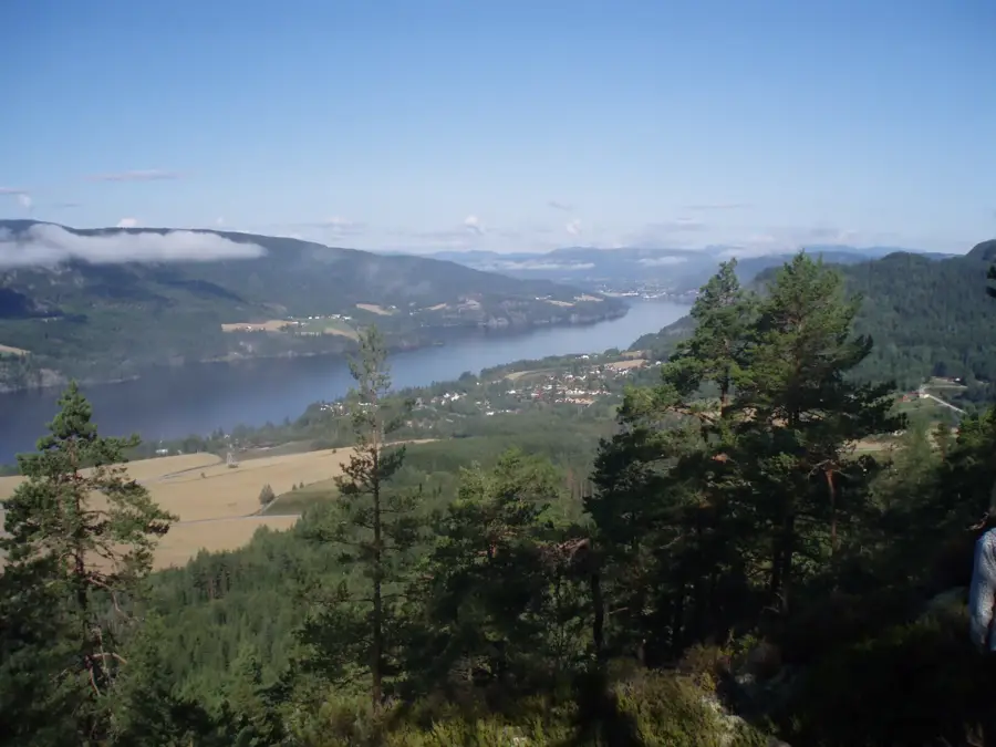
- Hike up Boknafjellet for a remarkable 360-degree view of the surrounding fjords.
- Dress in layers, as the coastal wind can be very strong, especially on the bridges.
- If you plan to travel further south towards Stavanger, check the Arsvågen-Mortavika ferry schedule in advance.
🍽 Food
Try fresh local shrimp, often available to buy at the local grocery store or from roadside stalls.
Traditional Norwegian meatballs, frequently served in the local diner near the main highway.
Waffles with sweet brown cheese, best enjoyed with a cup of coffee at the local community hub in Føresvik.
🛍 Shopping · 🧘 Quiet spots
The main local shop for daily supplies and grabbing Norwegian snacks for the road.
Look for hand-knitted woolen sweaters and socks at local markets and stalls during the summer.
A peaceful nature trail that takes you away from the road noise to the highest point on the island.
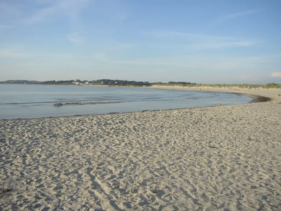
A quiet spot to watch small boats come and go and enjoy the sea in peace.
Water temperature…
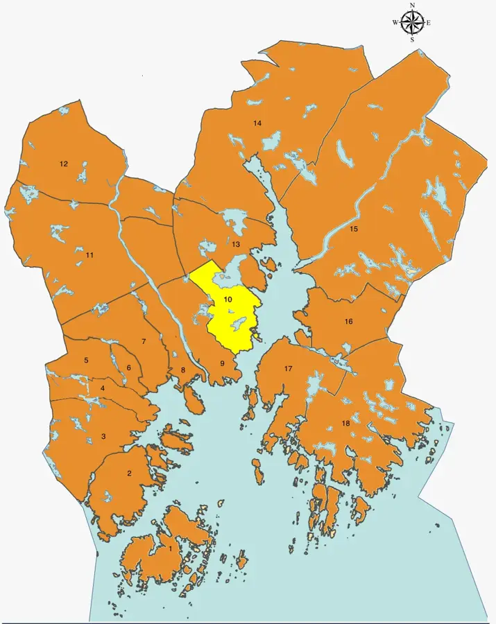
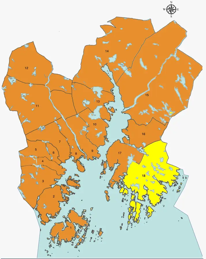
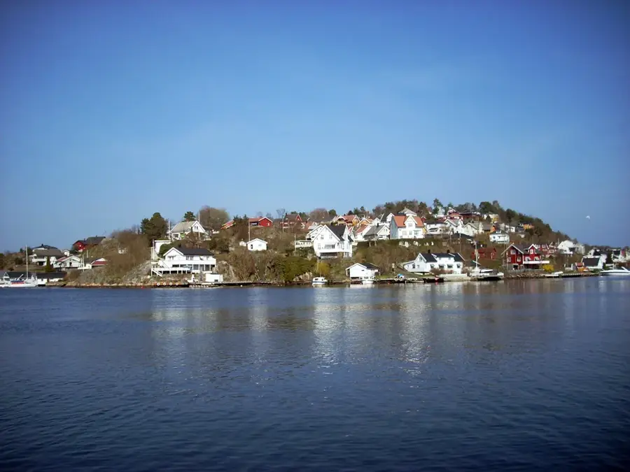
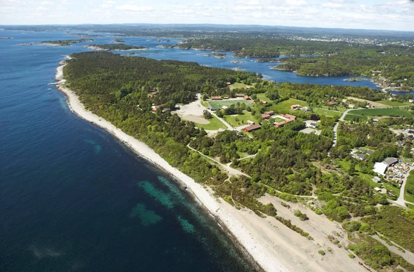
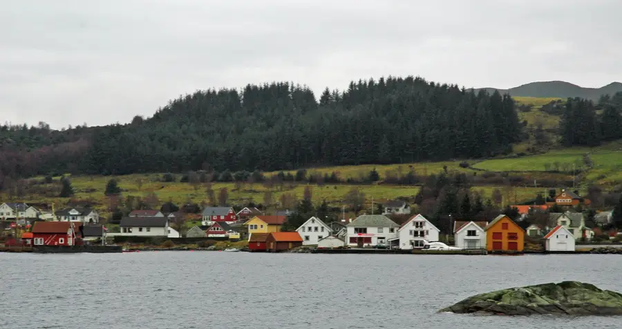
Bokn is an island municipality in the Boknafjord in Rogaland, consisting of three main islands, Vestre Bokn, Austre Bokn, and Lotre, along with many smaller islets. The municipality is a strategic location in the Norwegian transport network, hosting the vital Arsvågen ferry terminal, which connects the E39 highway to Stavanger across the fjord. Geographically, Bokn is defined by its hilly terrain, with Boknafjellet and its prominent transmission tower being the highest point, serving as a landmark for sailors for centuries. Historically, the region was shaped by farming and fishing, which is reflected in the old farmsteads and boathouses. Today, Bokn is a popular destination for sport fishing and nature lovers seeking the tranquility of the archipelago. The bridge connections between the main islands and the mainland link via the E39 have integrated the community with the surrounding urban areas.
- Location: Norway
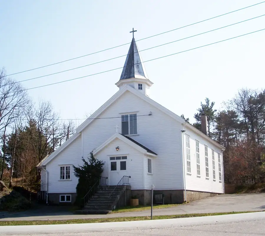
- Top sights: Røykstova på Laupland · Bokn bygdemuseum · Bokn kyrkje
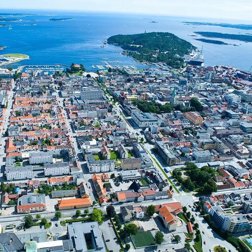
- Nearby: Skudeneshavn (11 km)
- Population: ~907 (2026)
Best time to visit & climate
The most pleasant time to visit is Jun–Aug.
| Jan | Feb | Mar | Apr | May | Jun | Jul | Aug | Sep | Oct | Nov | Dec | |
|---|---|---|---|---|---|---|---|---|---|---|---|---|
| Avg °C | 2 | 2 | 3 | 6 | 9 | 13 | 15 | 15 | 13 | 9 | 6 | 4 |
| Rain mm | 205 | 144 | 124 | 94 | 89 | 91 | 114 | 150 | 170 | 189 | 199 | 217 |
Geography
Facts
- Arsvågen is one of the busiest ferry harbours in Norway.
- Boknafjellet is 294 metres high and features a 173-metre tall mast.
- Bokn was separated from Skudenes municipality in 1849.
- The municipality has a land area of about 45 square kilometres.
- The E39 highway runs through the municipality from north to south.
- Bokn has a population of approximately 850 people.
Explore nearby
Notable places around
Route planner — Car & Motorhome
Where do you start? We build the route here, with stops and country notes along the way.
© OpenStreetMap contributors · OpenRouteService
Sights in the town Bokn (3)
Frequently asked questions
What is Bokn known for?
Which ferry departs from Bokn?
Are there good viewpoints?
What is the Bokn Museum?
Can you fish in Bokn?
Bokn: where is it located?
Bokn: what is there to see?
Bokn: when is the best time to visit?
Bokn: why is it worth visiting?

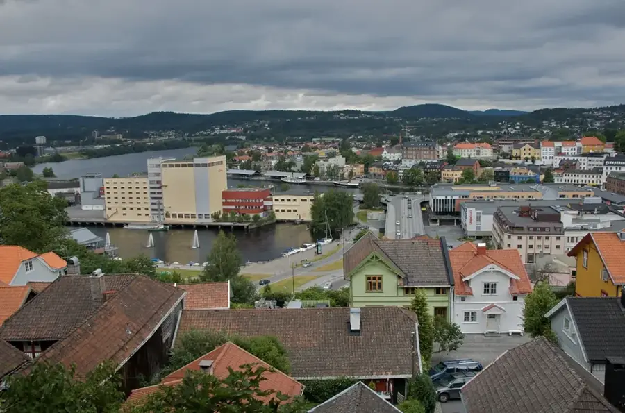
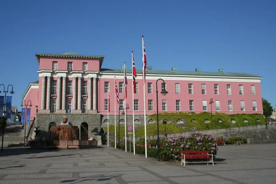
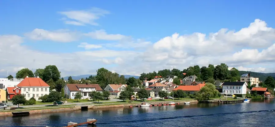
Nearby cities