Plizio Visual Lab
Blåtinden
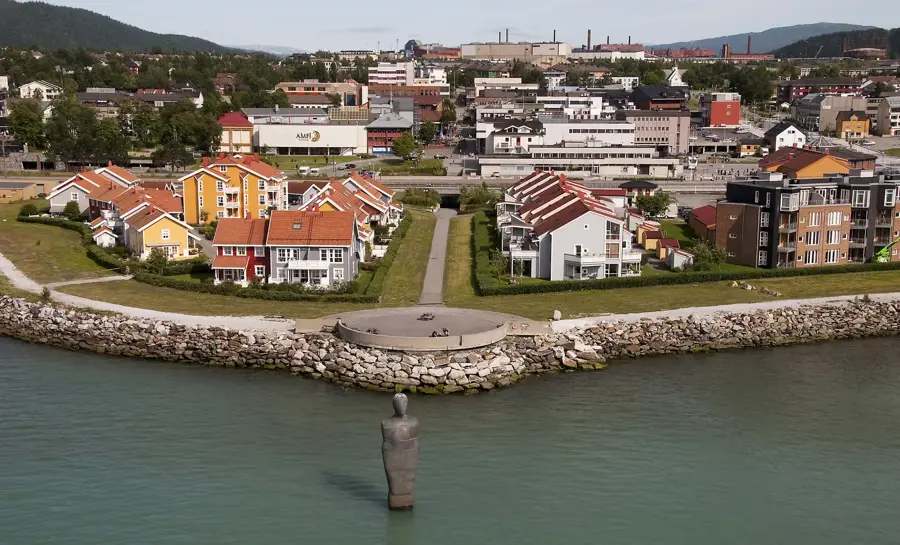
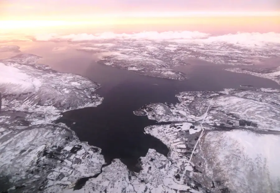
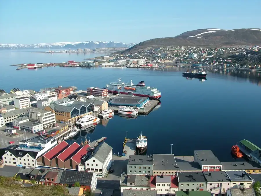
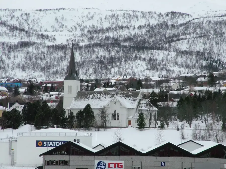
Blåtinden, frequently referred to as 'The Sleeping Queen' (Den sovende dronning), is a striking mountain peak located near Narvik in Northern Norway. Standing at 1,272 meters, the peak is famous for its profile, which, when viewed from certain angles, resembles the silhouette of a reclining woman. Geographically, it belongs to the Skjomen mountain range and consists primarily of hard granite that was smoothed by glacial action over millennia. The hike to the summit of Blåtinden is a local favorite, offering a moderate challenge with rewarding panoramic views over the Ofotfjord. Beyond its aesthetic appeal, the mountain holds historical significance as the surrounding area was the site of intense combat during World War II. Today, the peak stands as a symbol of the pristine Arctic wilderness and remains for hikers in the Nordland region.
- Location: Norway
- Top sights: Aurora Boralis Viewpoint · Prestvatn landskapsvernområde · Ropes Course
- Nearby: Sjursnes - Várpenjárga (31 km)
Best time to visit & climate
The most pleasant time to visit is Jun–Aug.
| Jan | Feb | Mar | Apr | May | Jun | Jul | Aug | Sep | Oct | Nov | Dec | |
|---|---|---|---|---|---|---|---|---|---|---|---|---|
| Avg °C | -8 | -8 | -5 | -1 | 4 | 9 | 13 | 11 | 7 | 1 | -3 | -6 |
| Rain mm | 106 | 109 | 120 | 89 | 95 | 106 | 112 | 113 | 137 | 122 | 114 | 124 |
📋 Practical info
Geography
Facts
- Summit reaches an altitude of 1,272 meters
- Locally known as 'The Sleeping Queen'
- Composed primarily of smooth Arctic granite
- Overlooks the expansive Ofotfjord waters
- Part of the Skjomen mountain range near Narvik
- A top destination for hikers in Northern Norway
Explore nearby
Notable places around
Route planner — Car & Motorhome
Where do you start? We build the route here, with stops and country notes along the way.
© OpenStreetMap contributors · OpenRouteService
Sights in the town Blåtinden (10)
Elverhøy Parish Church
Church in Tromsø built in 1803, seat of the Elverhøy congregation.
Vår Frue kirke
Catholic church in Tromsø built in 1861, oldest Catholic church in Northern Norway.
Perspektivet museum🏛 museum
Museum of contemporary art and culture in Tromsø.
Kulturhuset
Cultural center in Tromsø with event spaces, café, and library.
Krane Galleri & Rammeverksted
Gallery and framing workshop in Tromsø, hosting rotating art exhibitions.
Polarmuseet🏛 museum
Museum about the history of polar exploration and Arctic life.
Storgata 42
Memorial site on Tromsø's main street, commemorating historical events.
Sights nearby
Frequently asked questions
Where is Blåtinden located?
Why is the mountain called 'The Sleeping Soldier'?
How difficult is the hike?
What can you see from the summit?
Can you go skiing there in winter?
Blåtinden: where is it located?
Blåtinden: what is there to see?
Blåtinden: when is the best time to visit?
Blåtinden: why is it worth visiting?

Nearby cities