Plizio Visual Lab
Ograzden Peak

Weather…
Water temperature…
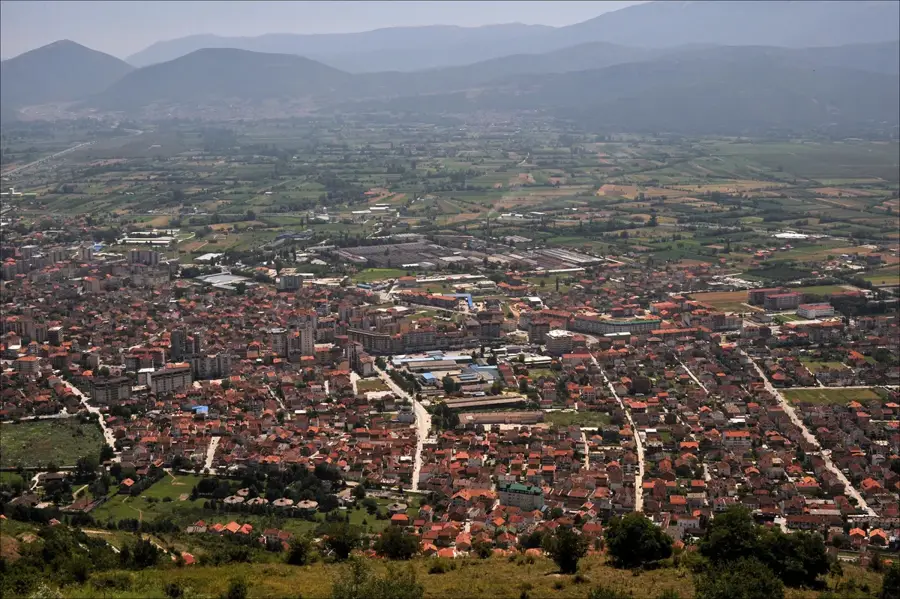
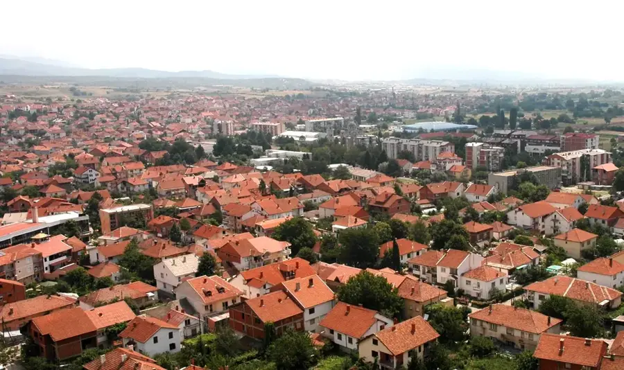
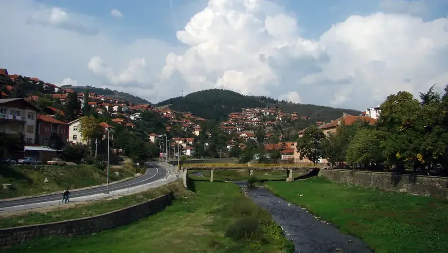
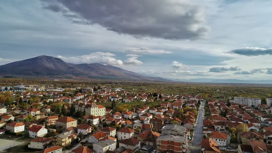
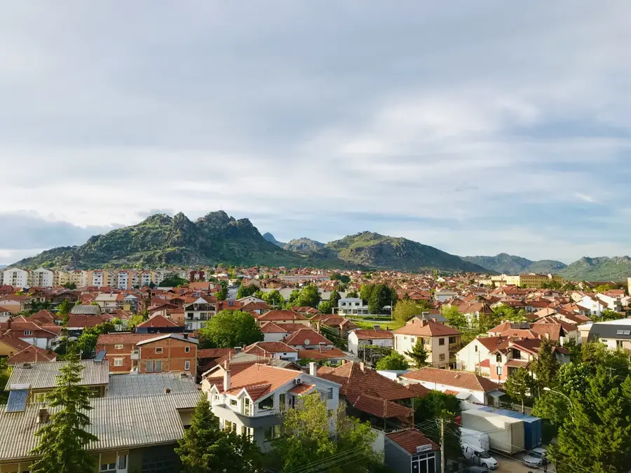
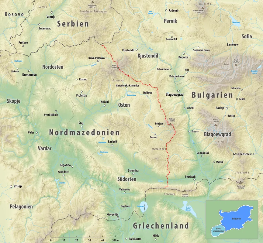
Ograzdenec, standing at 1744 meters, is the highest peak of the Ograzden mountain range in southeastern North Macedonia, situated near the Bulgarian border. The massif belongs to the Belasica-Ograzden mountain group and is characterized by its rolling, forested slopes and expansive alpine meadows. Geologically, the range consists primarily of crystalline schists and granite, which have shaped the rounded appearance of its summits and ridges over millennia. The region is noted for its rich biodiversity, with dense beech and pine forests dominating the lower elevations, while the peak areas host subalpine flora. Historically, the mountain range functioned as a natural barrier and a strategic border point between various Balkan states and empires. Today, Ograzdenec is a significant destination for eco-tourism and hikers, offering extensive views over the Strumica Valley and surrounding mountain chains. The area's relative isolation has helped preserve traditional mountain pastoralism and nearly pristine natural ecosystems.
- Location: North Macedonia
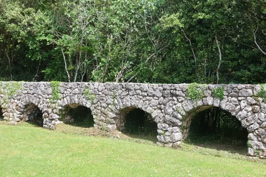
- Nearby: Bosilovo Agribusiness (13 km)
Best time to visit & climate
The most pleasant time to visit is Jun, Aug, Sep.
| Jan | Feb | Mar | Apr | May | Jun | Jul | Aug | Sep | Oct | Nov | Dec | |
|---|---|---|---|---|---|---|---|---|---|---|---|---|
| Avg °C | 1 | 2 | 6 | 11 | 16 | 21 | 24 | 24 | 19 | 13 | 7 | 2 |
| Rain mm | 52 | 44 | 55 | 55 | 64 | 66 | 46 | 42 | 50 | 57 | 50 | 64 |
📋 Practical info
Geography
Facts
- The peak of Ograzdenec reaches an elevation of 1744 meters.
- The mountain range serves as a natural border between North Macedonia and Bulgaria.
- Crystalline schists and granite are the primary geological components of the peak.
- Dense beech and pine forests cover a significant portion of the slopes.
- Several tributaries of the Strumica River originate within this mountain range.
- The area is a key habitat for various Balkan endemic plant species.
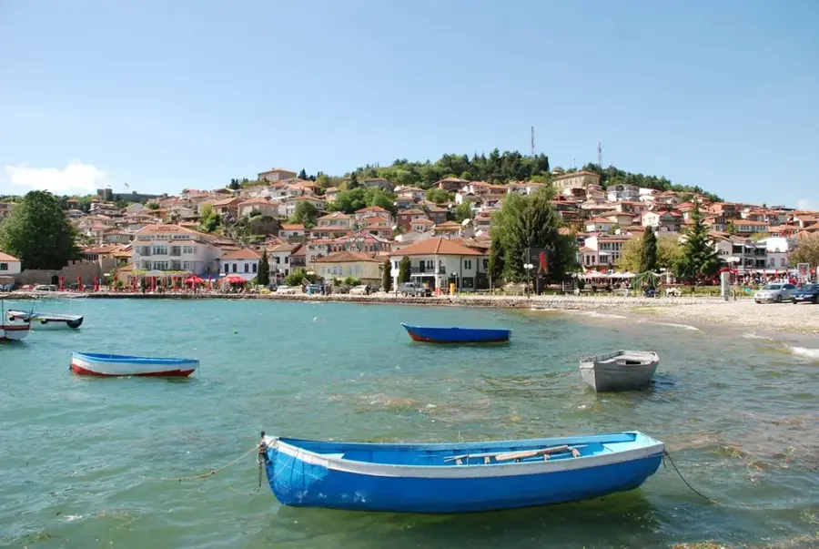
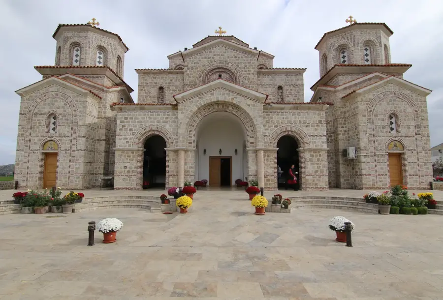
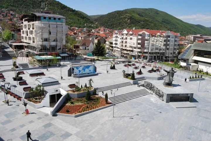
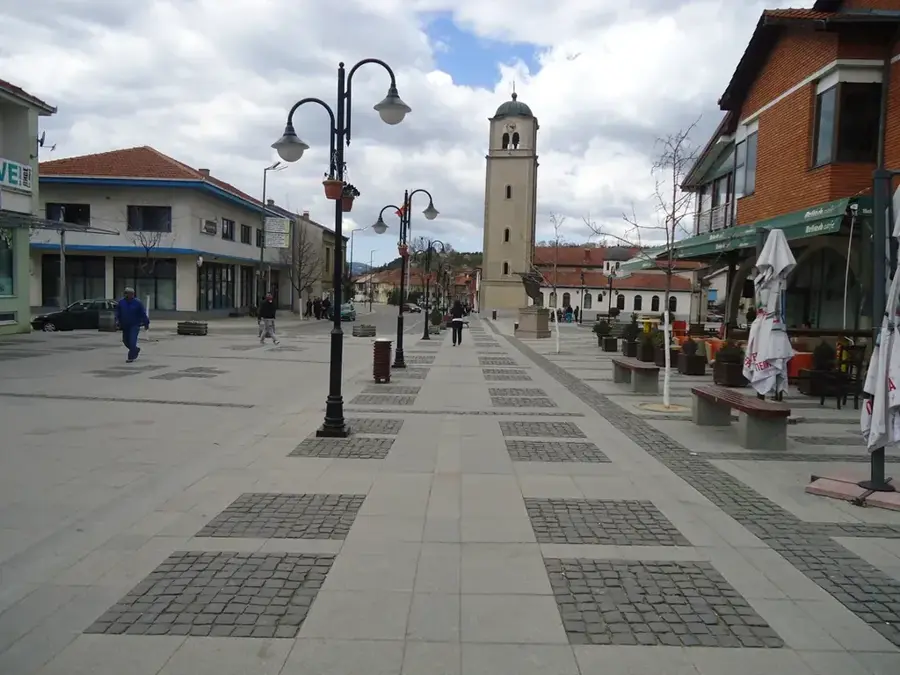
Explore nearby
Notable places around
Route planner — Car & Motorhome
Where do you start? We build the route here, with stops and country notes along the way.
© OpenStreetMap contributors · OpenRouteService
Sights in the town Ograzden Peak (1)
Sights nearby
Frequently asked questions
Where is the Ogražden mountain range located?
How high is the highest peak?
What flora can be found here?
Is the mountain easily accessible for tourists?
Can you see wildlife there?
Ograzden Peak: where is it located?
Ograzden Peak: when is the best time to visit?
Ograzden Peak: why is it worth visiting?

Nearby cities