Plizio Visual Lab
Supung Hydroelectric Plant
Weather…
Water temperature…
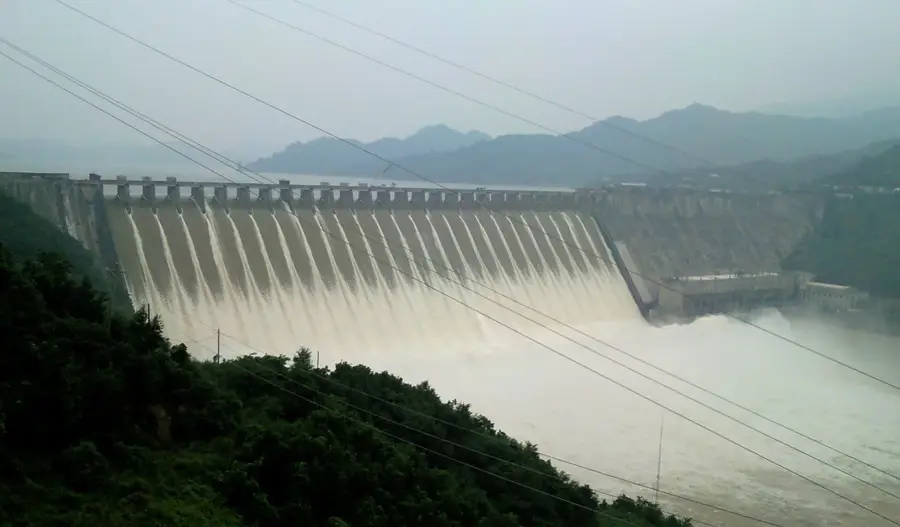
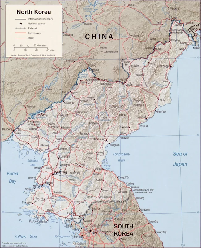
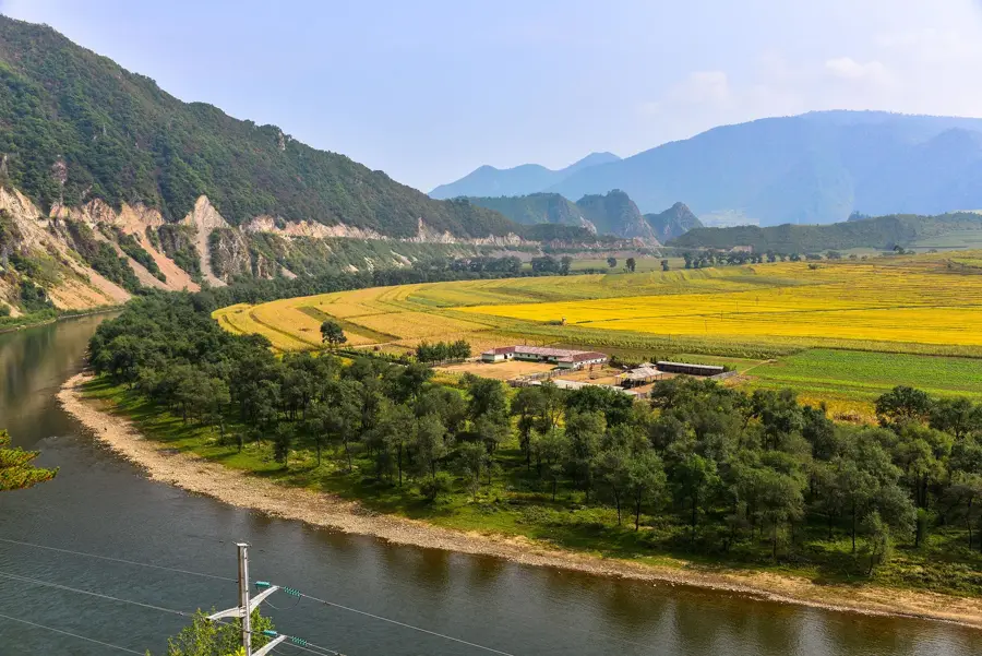
The Supung Hydroelectric Plant, situated on the Yalu River along the border between North Korea and China, is one of East Asia's most historic and powerful hydroelectric facilities. Constructed between 1937 and 1943 during the Japanese colonial era, it was ranked as the third largest hydroelectric plant in the world at the time of its completion. The massive Supung Dam impounds the Yalu River, creating a vast reservoir that serves both power generation and flood control purposes. A unique feature of the plant is its joint operation by North Korea and China, with the generated electricity shared between the two nations based on long-standing agreements. The facility is a critical energy source for industrial centers in North Pyongan Province and neighboring Chinese regions like Liaoning. Over the decades, the plant has undergone several rounds of modernization to update its original Japanese and Swiss-designed turbines. Supung stands as a significant symbol of cross-border industrial cooperation and remains a cornerstone of the regional renewable energy infrastructure.
- Location: North Korea
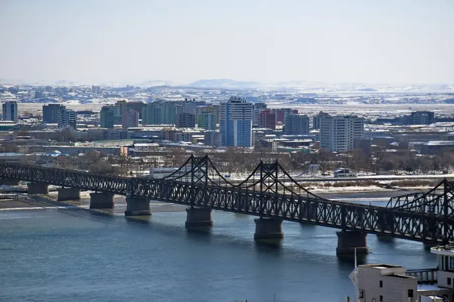
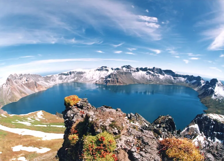
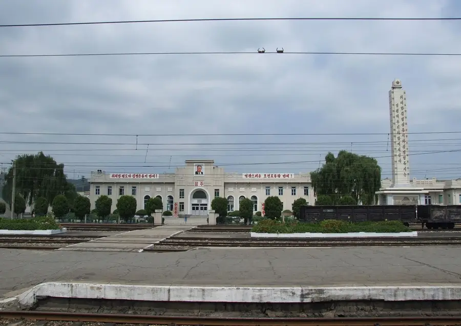
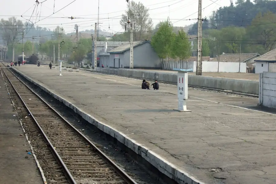
- Top sights: Amrokkang station · Sup'ung Dam · Supung Lake
- Nearby: Sonchon (42 km)
Best time to visit & climate
The most pleasant time to visit is May, Jun, Sep.
| Jan | Feb | Mar | Apr | May | Jun | Jul | Aug | Sep | Oct | Nov | Dec | |
|---|---|---|---|---|---|---|---|---|---|---|---|---|
| Avg °C | -11 | -7 | 0 | 8 | 15 | 20 | 23 | 22 | 17 | 9 | 0 | -9 |
| Rain mm | 7 | 20 | 23 | 53 | 82 | 116 | 267 | 260 | 85 | 56 | 46 | 14 |
📋 Practical info
Geography
Facts
- The dam stands 160 meters high and spans 852 meters across the Yalu River.
- The plant has an installed capacity of approximately 630 MW to 700 MW.
- At its peak in the 1940s, it was the largest hydroelectric station in Asia.
- Power distribution is strictly split 50/50 between North Korea and China.
- The reservoir created by the dam is one of the largest man-made lakes in the region.
- The facility survived multiple strategic bombing raids during the Korean War.
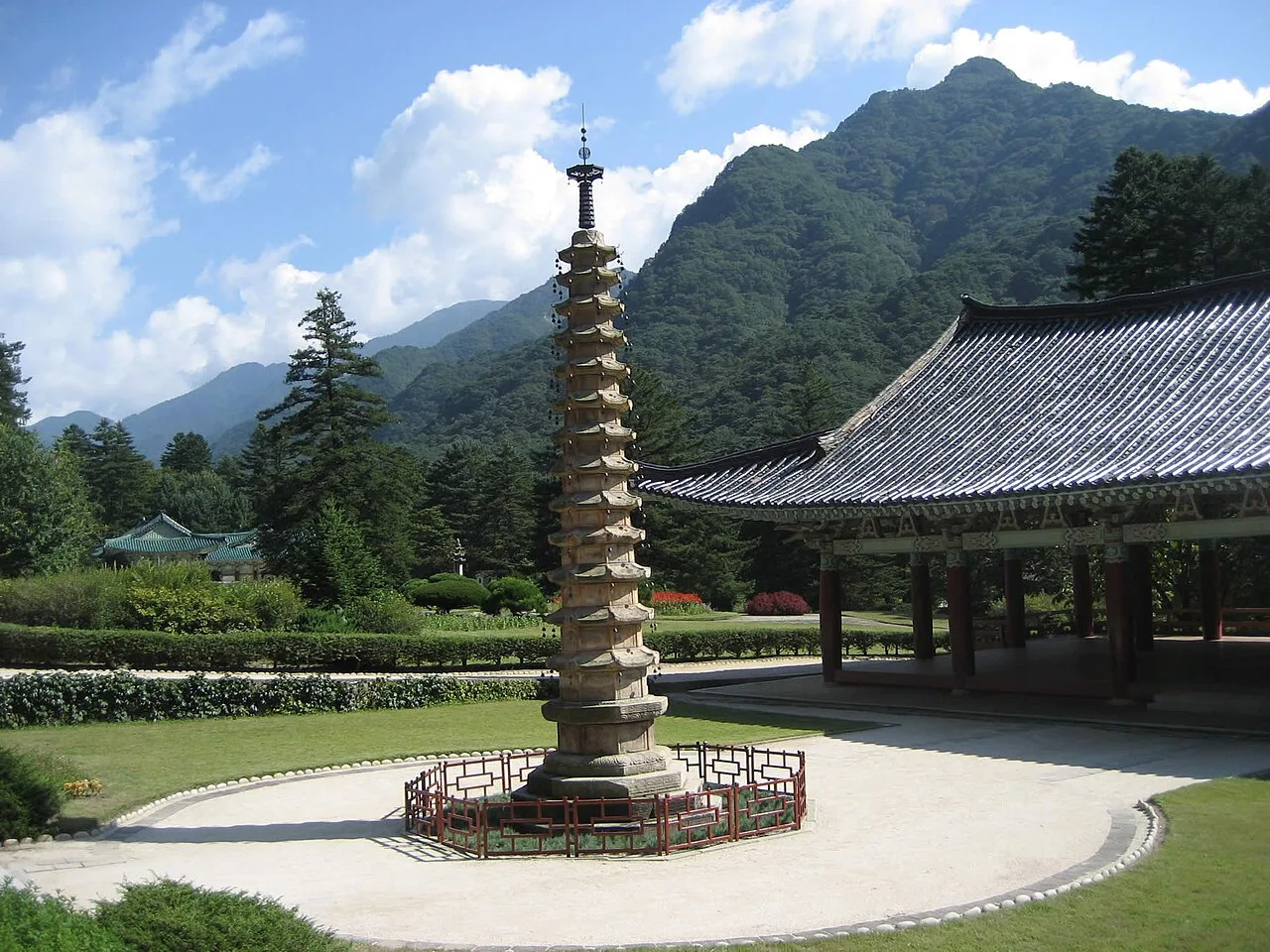
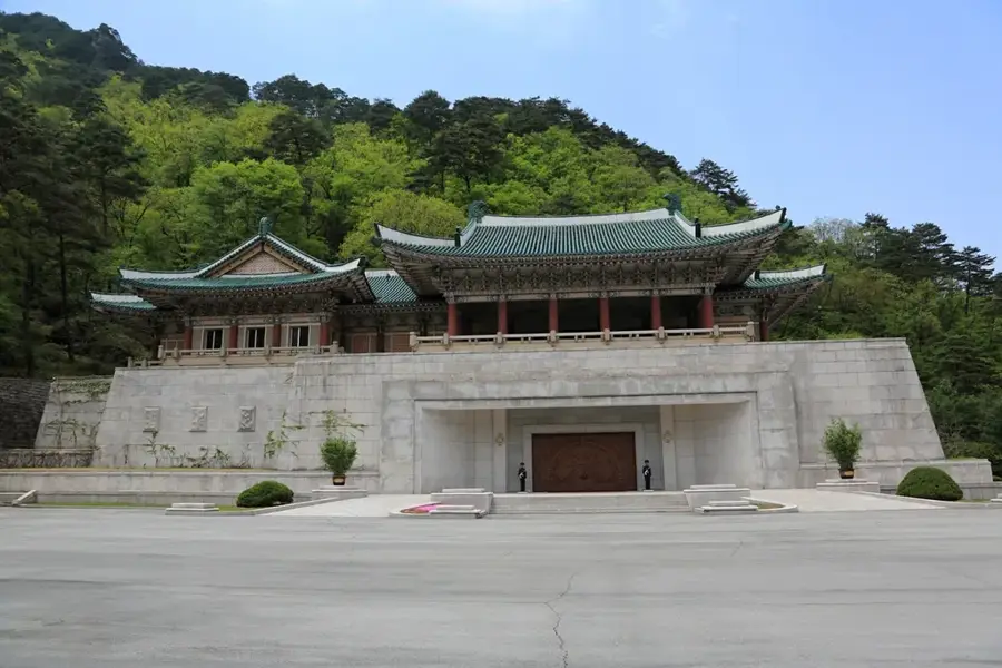
Explore nearby
Notable places around
Route planner — Car & Motorhome
Where do you start? We build the route here, with stops and country notes along the way.
© OpenStreetMap contributors · OpenRouteService
Sights in the town Supung Hydroelectric Plant (3)
Sights nearby
Frequently asked questions
What is the Supung Hydroelectric Plant?
Can you see the dam wall?
When was it built?
What is the power output of the plant?
Is there nature in the area?
Supung Hydroelectric Plant: where is it located?
Supung Hydroelectric Plant: what is there to see?
Supung Hydroelectric Plant: when is the best time to visit?
Supung Hydroelectric Plant: why is it worth visiting?

Nearby cities

Nature

More places