Plizio Visual Lab
Chosan Bay Coast
Weather…
Water temperature…
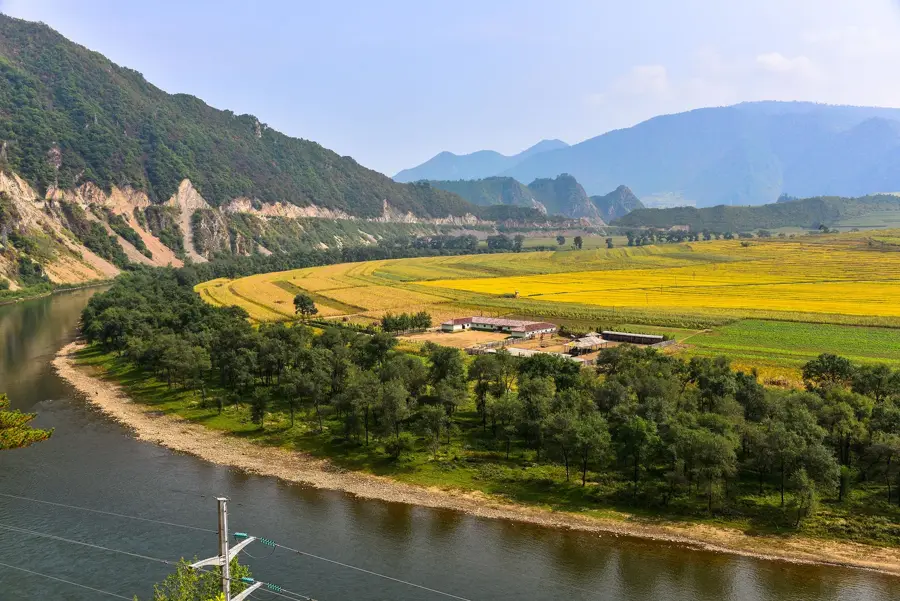
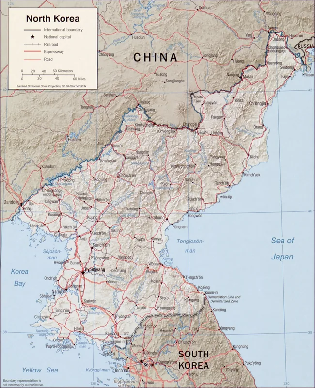
The Chosan Bay coast is located in North Pyongan Province along the Yellow Sea and is geomorphologically shaped by the mouth of the Yalu River. This region is strategically significant as it forms the natural border between North Korea and China, featuring vast tidal flats and river delta systems. The coastline is highly variable due to tidal forces, which have led to the formation of extensive silt areas that serve as a vital habitat for migratory birds. Geologically, the bedrock consists of sedimentary rocks formed over millennia by the deposits of the Yalu River system. The region is known for its fertile coastal plains where intensive rice cultivation takes place, aided by the warm and humid climate. Historically, Chosan Bay was an important hub for maritime trade and military defense installations along Korea's northwestern border. Today, the bay plays a key role in the regional fishing industry and provides ecological niches for marine species adapted to brackish water conditions.
- Location: North Korea
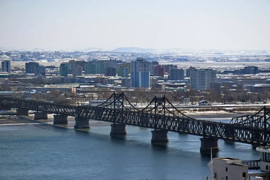
- Nearby: Sinuiju (22 km)
Best time to visit & climate
The most pleasant time to visit is May, Jun, Sep.
| Jan | Feb | Mar | Apr | May | Jun | Jul | Aug | Sep | Oct | Nov | Dec | |
|---|---|---|---|---|---|---|---|---|---|---|---|---|
| Avg °C | -8 | -5 | 1 | 8 | 15 | 21 | 24 | 24 | 19 | 11 | 2 | -6 |
| Rain mm | 6 | 18 | 20 | 55 | 85 | 116 | 261 | 252 | 87 | 54 | 46 | 13 |
📋 Practical info
Geography
Facts
- The bay is located at the confluence of the Yalu River and the Yellow Sea.
- Tidal fluctuations in the region are among the strongest in Korea.
- Extensive tidal flats provide a resting place for over 50 bird species.
- The coastal region is a major area for high-quality rice production.
- The border with China runs through the middle of the adjacent riverbed.
- Archaeological finds confirm the existence of Bronze Age settlements in the bay.
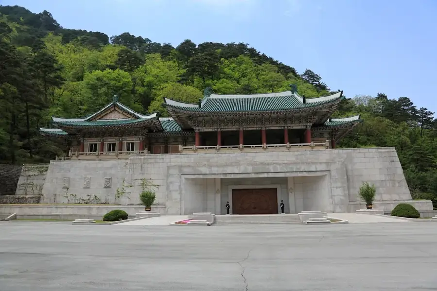
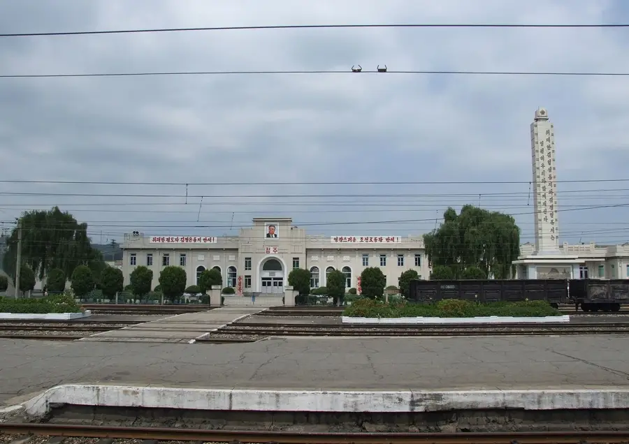
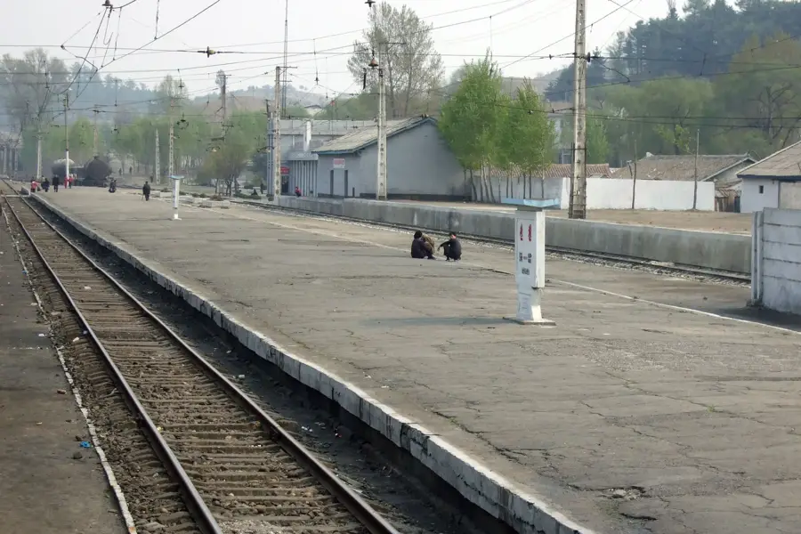
Explore nearby
Notable places around
Route planner — Car & Motorhome
Where do you start? We build the route here, with stops and country notes along the way.
© OpenStreetMap contributors · OpenRouteService
Sights nearby
Frequently asked questions
Where is Chosan Bay located?
What can you do there?
Are there swimming beaches?
When is the best time to visit?
Is there boat traffic there?
Chosan Bay Coast: where is it located?
Chosan Bay Coast: when is the best time to visit?
Chosan Bay Coast: why is it worth visiting?

Nearby cities

Nature
More places