Plizio Visual Lab
Yalu River
Weather…
Water temperature…
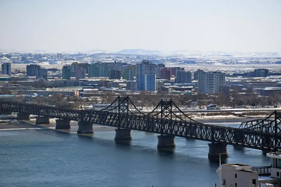
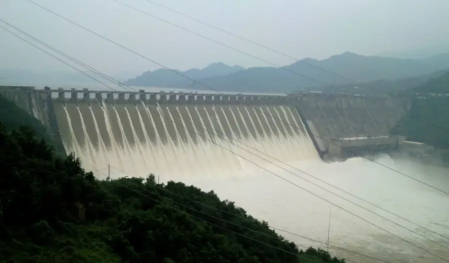
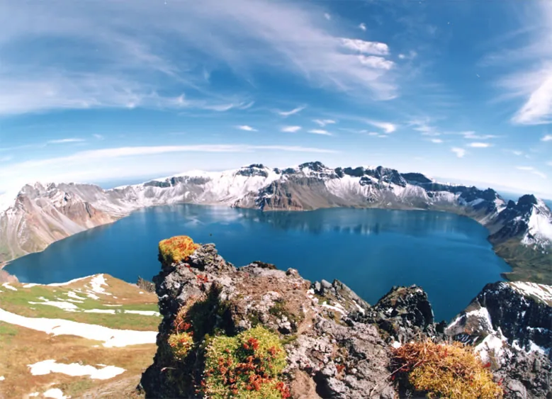
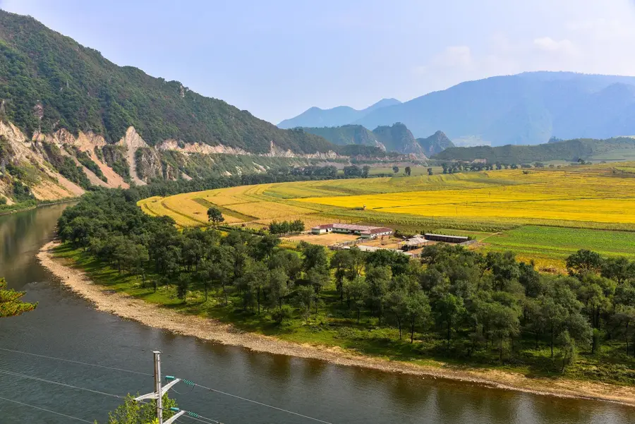
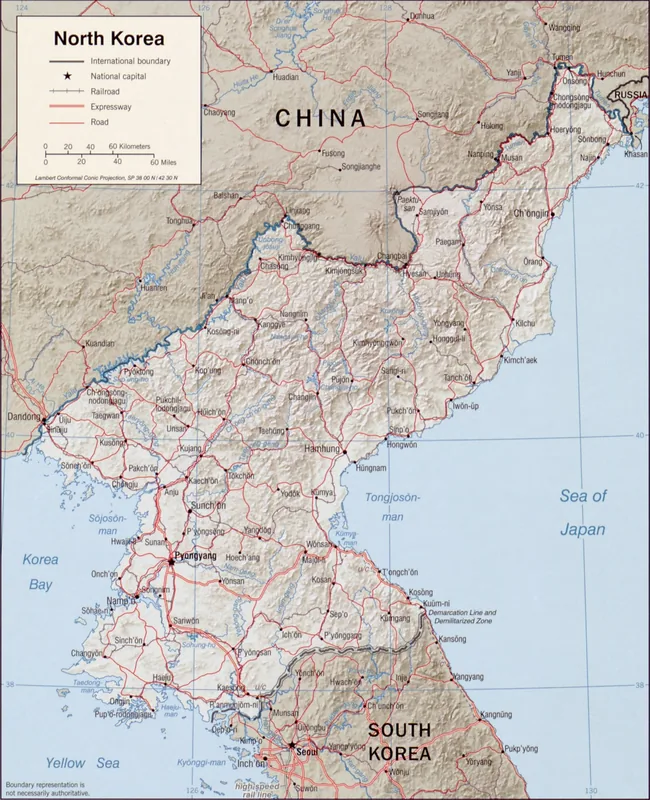
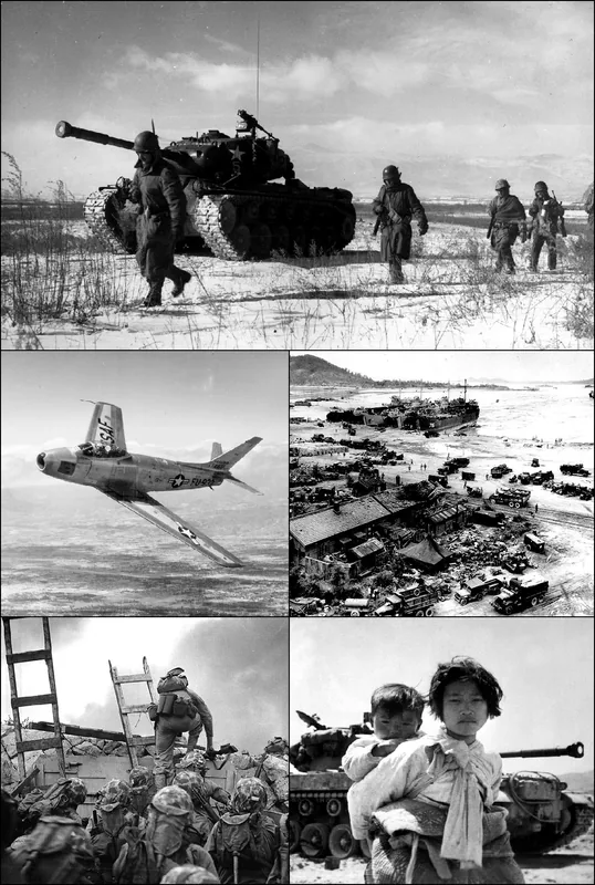
The Yalu River, known in Korea as the Amnok River, forms a major part of the international border between North Korea and China. Originating from the slopes of Mount Paektu at an elevation of 2,500 meters, it flows roughly 790 kilometers into the Korea Bay of the Yellow Sea. The river has been a site of strategic military significance throughout history, most notably during the Russo-Japanese War and the Korean War, when its bridges were targets of intense aerial bombardment. It is a critical source of hydroelectric power, with the Sup'ung Dam, constructed in 1941, being one of the largest in Asia at the time of its completion. The river also facilitates cross-border trade, primarily through the cities of Sinuiju in North Korea and Dandong in China, which are connected by the Sino-Korean Friendship Bridge. Despite political tensions, the Yalu remains an essential economic corridor, providing water for agriculture and supporting various local industries. The surrounding landscape varies from rugged mountainous terrain in the upper reaches to fertile alluvial plains near the river's mouth.
- Location: North Korea
- Nearby: Sinuiju (11 km)
Best time to visit & climate
The most pleasant time to visit is May, Jun, Sep.
| Jan | Feb | Mar | Apr | May | Jun | Jul | Aug | Sep | Oct | Nov | Dec | |
|---|---|---|---|---|---|---|---|---|---|---|---|---|
| Avg °C | -8 | -5 | 1 | 8 | 15 | 21 | 24 | 24 | 19 | 11 | 2 | -6 |
| Rain mm | 6 | 18 | 20 | 55 | 85 | 116 | 261 | 252 | 87 | 54 | 46 | 13 |
📋 Practical info
Geography
Facts
- The river has a total length of approximately 790 kilometers.
- It forms the international border between North Korea and China.
- The Sup'ung Dam was completed in the year 1941.
- The river originates from Mount Paektu at 2,500 meters altitude.
- The Sino-Korean Friendship Bridge connects Sinuiju and Dandong.
- The river was a major strategic front during the Korean War.
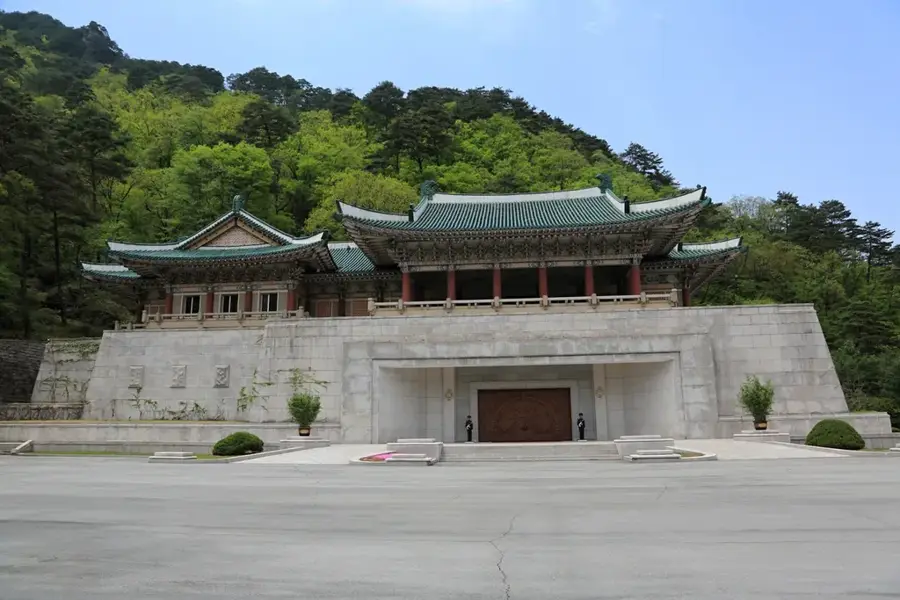
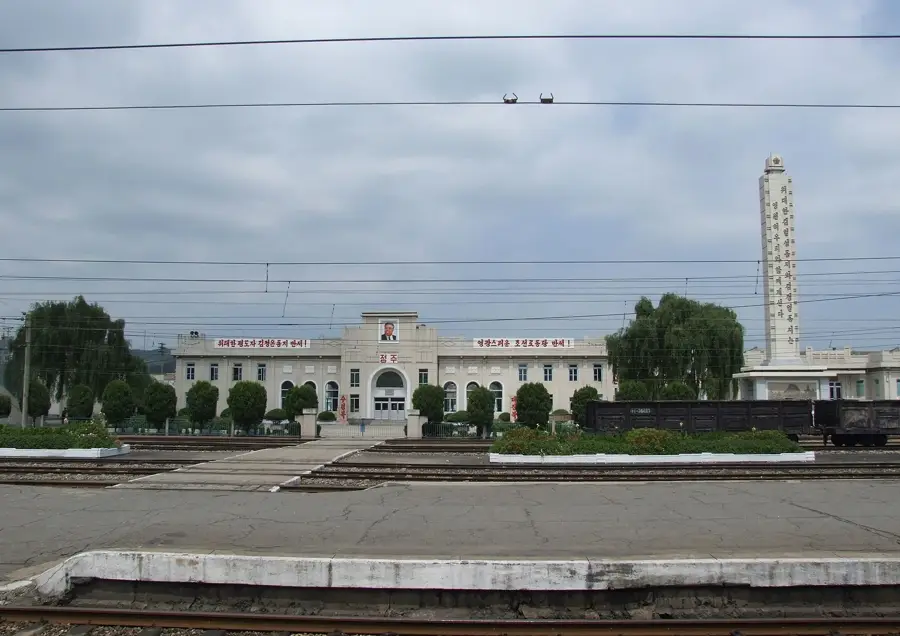
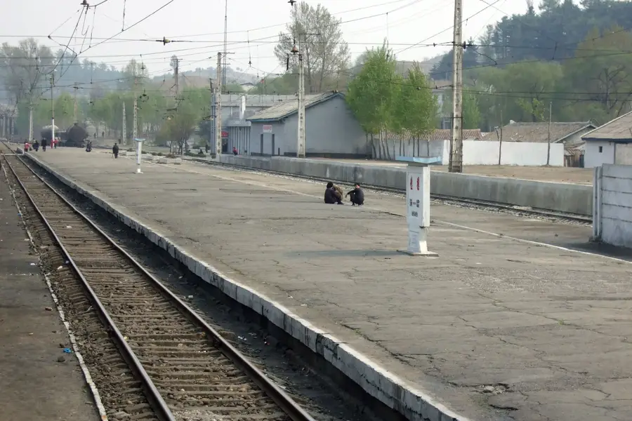
Explore nearby
Notable places around
Route planner — Car & Motorhome
Where do you start? We build the route here, with stops and country notes along the way.
© OpenStreetMap contributors · OpenRouteService
Sights nearby
Frequently asked questions
Where does the Yalu River form the border?
Can you see the river from China?
Is there a famous bridge over the Yalu?
What is the 'Broken Bridge'?
How is the river used economically?
Yalu River: where is it located?
Yalu River: when is the best time to visit?
Yalu River: why is it worth visiting?

Nearby cities

Nature
More places