Plizio Visual Lab
Eastern Koutous Spur
Weather…
Water temperature…
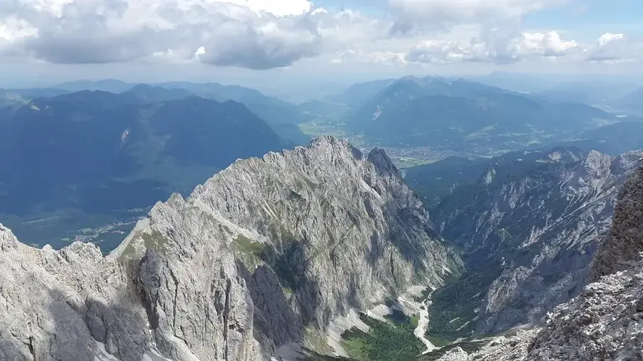
The Eastern Koutous Spur is an integral part of the Koutous Massif located in southeastern Niger, northeast of the city of Zinder. This geographical formation acts as a significant barrier between the sandy plains of the Chad Basin and the more arid regions to the north. The massif is primarily composed of sandstone formations deposited during the Mesozoic era, which today manifest as rugged plateaus and steep escarpments. The region is of critical importance to local hydrology, as seasonal watercourses known as 'koris' channel water to lower-lying agricultural areas during infrequent rainfall events. Historically, the area served as a frontier zone between the spheres of influence of the Hausa states and the Kanem-Bornu Empire. Vegetation is sparse, consisting mainly of thorny acacias and drought-resistant grasses. Wind erosion and occasional flash floods have significantly sculpted the landscape, carving deep gorges into the soft rock.
Best time to visit & climate
The most pleasant time to visit is Jan, Feb, Dec.
| Jan | Feb | Mar | Apr | May | Jun | Jul | Aug | Sep | Oct | Nov | Dec | |
|---|---|---|---|---|---|---|---|---|---|---|---|---|
| Avg °C | 18 | 22 | 27 | 31 | 34 | 34 | 32 | 30 | 30 | 29 | 24 | 20 |
| Rain mm | 0 | 0 | 0 | 1 | 5 | 19 | 58 | 111 | 29 | 5 | 0 | 0 |
📋 Practical info
Geography
Facts
- Part of the Koutous Massif in the Zinder Region.
- Primarily composed of Mesozoic sandstone layers.
- Average elevations range between 500 and 600 meters.
- Acts as a key catchment area for seasonal koris streams.
- Marks the transition to the Chad Basin savanna.
- Erosion has created distinctive table-top mountain shapes.
Explore nearby
Notable places around
Route planner — Car & Motorhome
Where do you start? We build the route here, with stops and country notes along the way.
© OpenStreetMap contributors · OpenRouteService
Sights nearby
Frequently asked questions
What characterizes the Eastern Koutous foothills?
Can you hike there?
Are there toilets there?
Is the place photogenic?
What clothing is recommended?
Eastern Koutous Spur: where is it located?
Eastern Koutous Spur: when is the best time to visit?
Eastern Koutous Spur: why is it worth visiting?