Plizio Visual Lab
Dallol Bosso
Weather…
Water temperature…
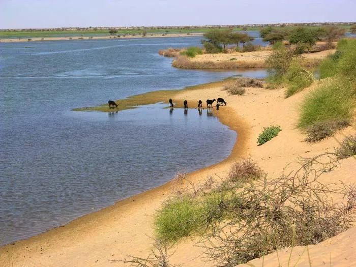
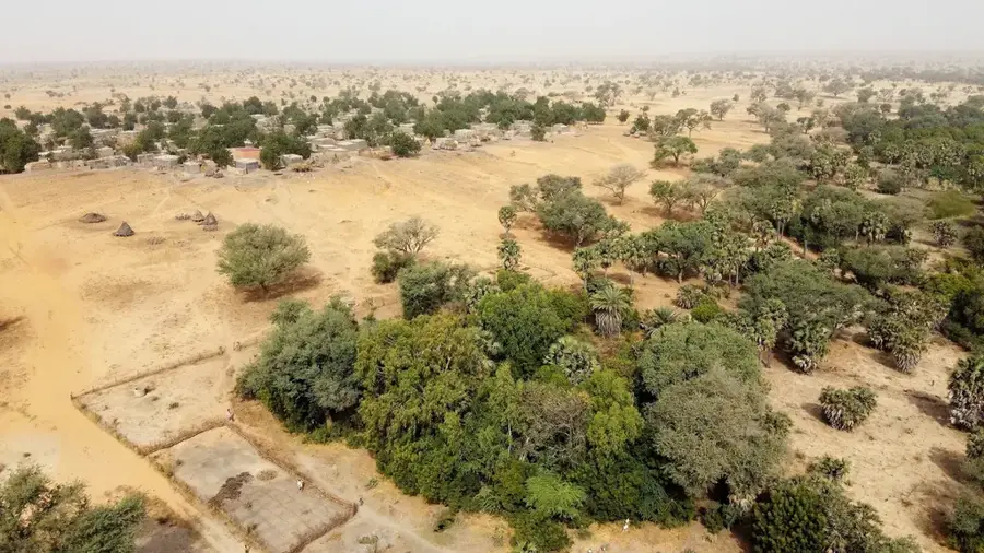
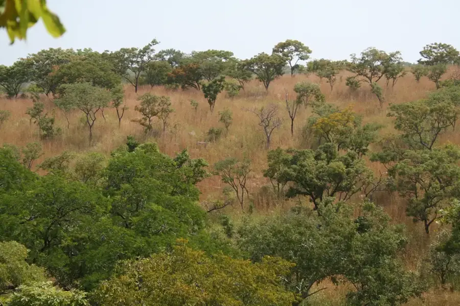
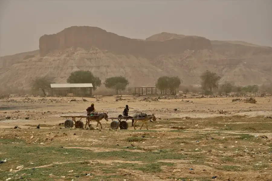
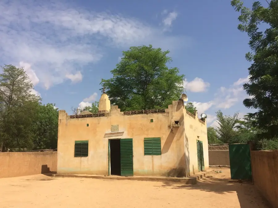
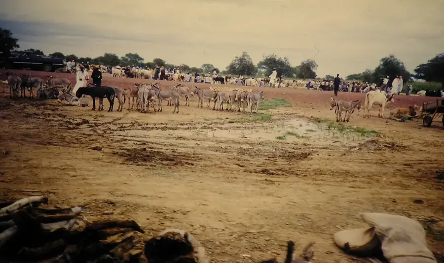
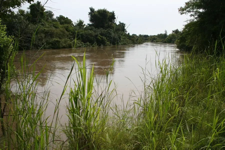
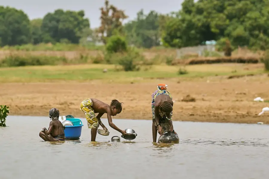
Dallol Bosso is an extensive fossil river valley in western Niger, stretching for about 300 kilometers in a north-south direction. Historically a major tributary of the Niger River, it now functions primarily as a dry valley with surface water present only during the peak of the rainy season. However, the valley is characterized by a very high water table, often just a few meters below the surface, making it one of the most fertile regions in an otherwise semi-arid landscape. This unique hydrological feature allows for intensive agriculture, including the cultivation of millet, tobacco, and onions, and supports large-scale livestock farming. Dallol Bosso acts as a vital corridor for nomadic pastoralists, particularly the Fulani and Tuareg, who move their herds through the valley for grazing and water. Ecological significance is high, as the valley’s seasonal wetlands host a variety of bird species and are protected under the Ramsar Convention as a wetland of international importance.
- Location: Niger
- Nearby: Say (18 km)
Best time to visit & climate
The most pleasant time to visit is Jan, Nov, Dec.
| Jan | Feb | Mar | Apr | May | Jun | Jul | Aug | Sep | Oct | Nov | Dec | |
|---|---|---|---|---|---|---|---|---|---|---|---|---|
| Avg °C | 24 | 27 | 31 | 34 | 34 | 31 | 29 | 27 | 27 | 29 | 27 | 24 |
| Rain mm | 0 | 1 | 3 | 9 | 34 | 94 | 149 | 205 | 97 | 24 | 1 | 0 |
📋 Practical info
Geography
Facts
- Dallol Bosso is approximately 300 km long and up to 15 km wide.
- The water table is remarkably shallow, sometimes accessible at just 2 meters depth.
- The site was designated as a Ramsar Wetland of International Importance in 2004.
- It was a significant tributary of the Niger River during the Holocene wet period.
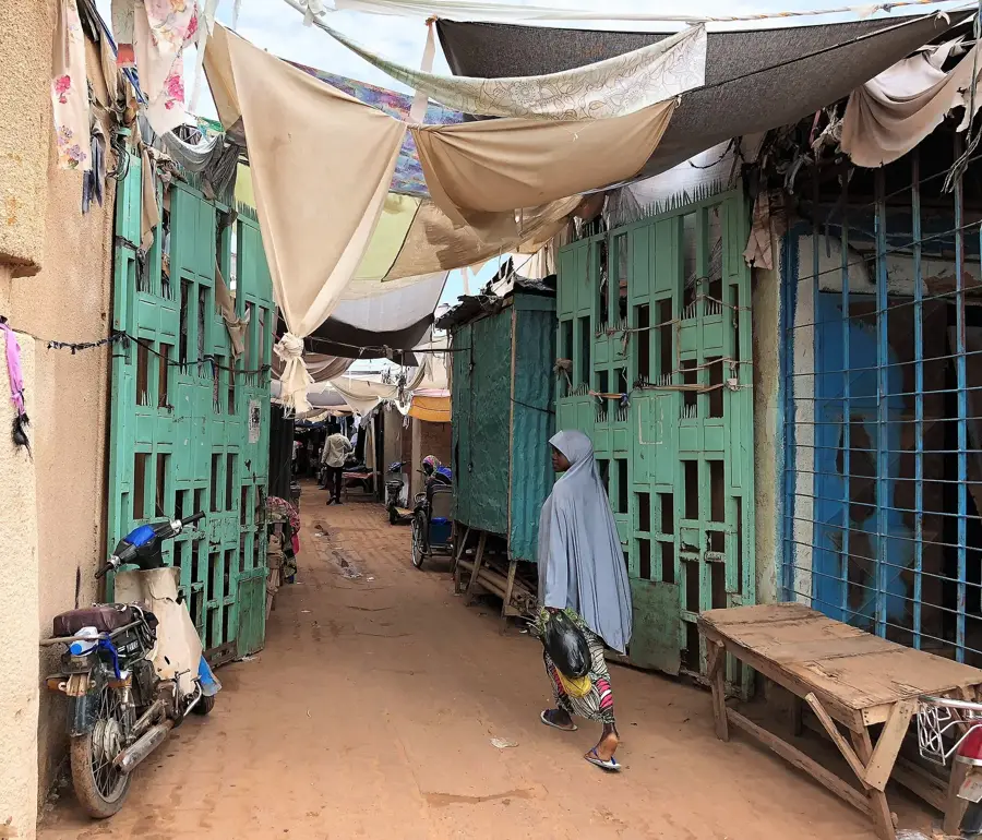
- The valley supports the highest density of human population in the region.
- Seasonal floods can turn the valley floor into a continuous string of shallow lakes.
Explore nearby
Notable places around
Route planner — Car & Motorhome
Where do you start? We build the route here, with stops and country notes along the way.
© OpenStreetMap contributors · OpenRouteService
Sights nearby
Frequently asked questions
What makes Dallol Bosso special?
When should one visit?
Is the valley easy to access?
Is it good for photography?
Are there accommodations?
Dallol Bosso: where is it located?
Dallol Bosso: when is the best time to visit?
Dallol Bosso: why is it worth visiting?

Nearby cities
History & landmarks
Nature
More places