Plizio Visual Lab
Bermo
ℹ️Practical info — Bermo
▾
🌤 Weather — 5 days
📍 Nearby
Sights nearby
💡 Tips
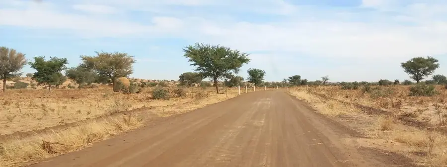
- Access requires a sturdy 4x4 vehicle as roads are unpaved and sandy.
- Carry an abundant supply of drinking water, sunscreen, and a head cover to protect against the harsh Sahel sun.
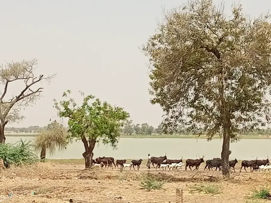
- It is a vital center for the pastoral Wodaabe and Tuareg nomads; always ask for permission before taking photographs of people or their cattle.
- If you visit in late September, you might catch the migrations linked to the Cure Salée festival nearby.
🍽 Food
A basic, sustaining meal often served with fresh or sour milk from the herders.
Available near the livestock market, simply spiced and roasted over open fires.
Very sweet, frothy tea served in small glasses, heavily consumed during social interactions.
🛍 Shopping · 🧘 Quiet spots
Check out intricate, hand-tooled leather pouches and amulets made by local artisans.
Look for distinctive silver crosses and rings traded by Tuareg craftsmen.
Step outside the settlement at sunrise to experience the absolute silence of the vast semi-desert.
Sit quietly at a safe distance from the wells to watch the impressive herds gather for water.
Water temperature…
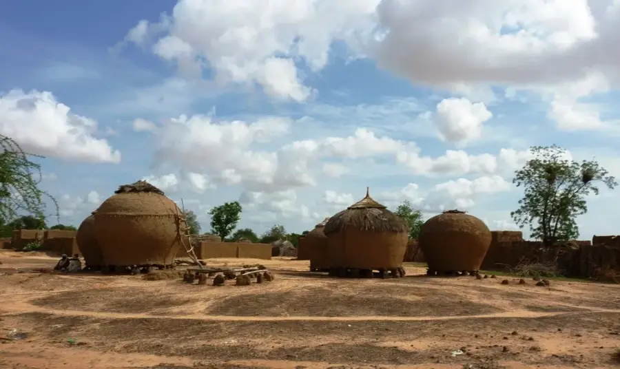
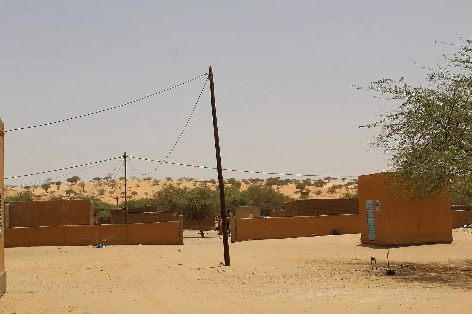
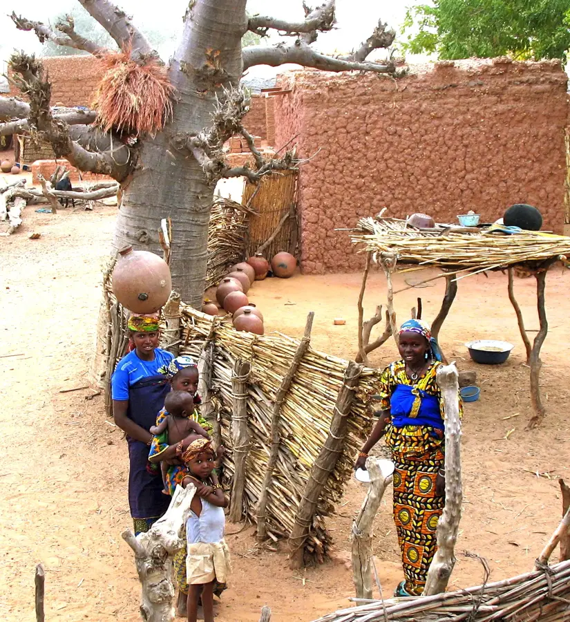
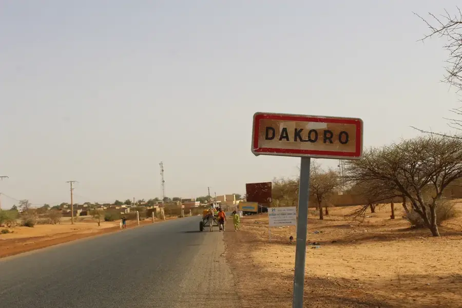
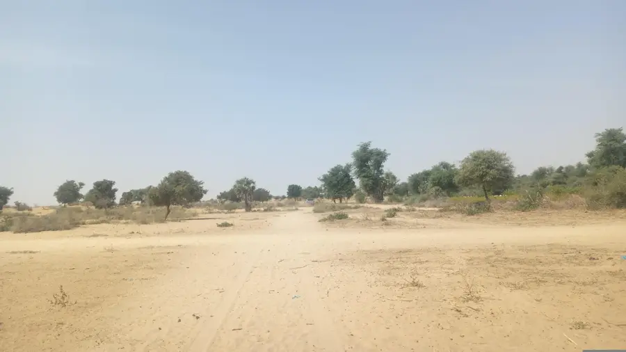
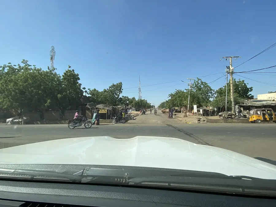
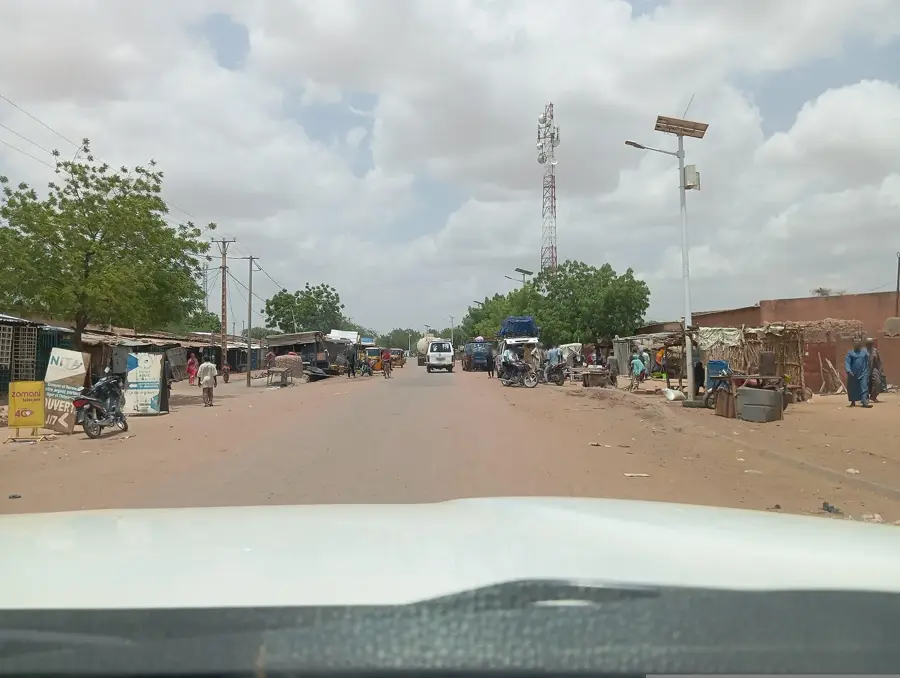
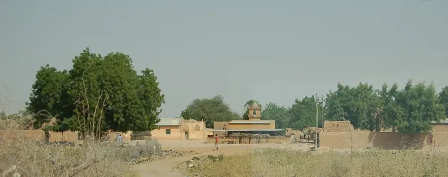
Bermo is a rural commune and the administrative headquarters of the Bermo Department in the Maradi Region of Niger. Located within the country's pastoral zone, it serves as a critical hub for the Tuareg and Wodaabe-Peul nomadic communities. The geography is characterized by the vast semi-arid plains of the Sahel, where vegetation is sparse and life revolves around seasonal rainfall. Bermo plays a central role in organizing transhumance, which remains the economic backbone of the local population. Historically, the area has been a significant gathering point for social and ritual exchanges between various pastoralist clans. In modern times, the commune functions as an administrative node coordinating essential services such as health and education for mobile citizens. The surrounding water points, particularly the deep boreholes, are of existential importance for sustaining large herds of cattle and camels during the grueling dry seasons.
- Location: Niger
- Nearby: Keita (55 km)
Best time to visit & climate
The most pleasant time to visit is Jan, Feb, Dec.
| Jan | Feb | Mar | Apr | May | Jun | Jul | Aug | Sep | Oct | Nov | Dec | |
|---|---|---|---|---|---|---|---|---|---|---|---|---|
| Avg °C | 20 | 24 | 28 | 32 | 34 | 33 | 30 | 28 | 28 | 28 | 25 | 21 |
| Rain mm | 0 | 0 | 1 | 2 | 13 | 41 | 117 | 169 | 58 | 9 | 0 | 0 |
Geography
Facts
- Bermo became an independent commune in 2002 following Niger's decentralization reforms.
- The region receives an average of less than 300 mm of annual rainfall, defining its arid nature.
- The local population consists primarily of Tuareg and Wodaabe-Peul ethnic groups.
- The economy is almost entirely dependent on cattle, sheep, and camel husbandry.
- The town is situated approximately 200 kilometers north of the regional capital, Maradi.
- The commune covers a vast area of pastoral land essential for nomadic livestock cycles.
Explore nearby
Notable places around
Route planner — Car & Motorhome
Where do you start? We build the route here, with stops and country notes along the way.
© OpenStreetMap contributors · OpenRouteService
Frequently asked questions
How many days should I plan for visiting Bermo?
What is the best time to visit Bermo?
How is it easiest to reach Bermo?
What local specialties should one try in Bermo?
Is Bermo a family-friendly destination?
Bermo: where is it located?
Bermo: when is the best time to visit?
Bermo: why is it worth visiting?

Nearby cities

History & landmarks

More places