Plizio Visual Lab
Keita
ℹ️Practical info — Keita
▾
🌤 Weather — 5 days
📍 Nearby
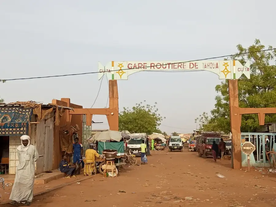
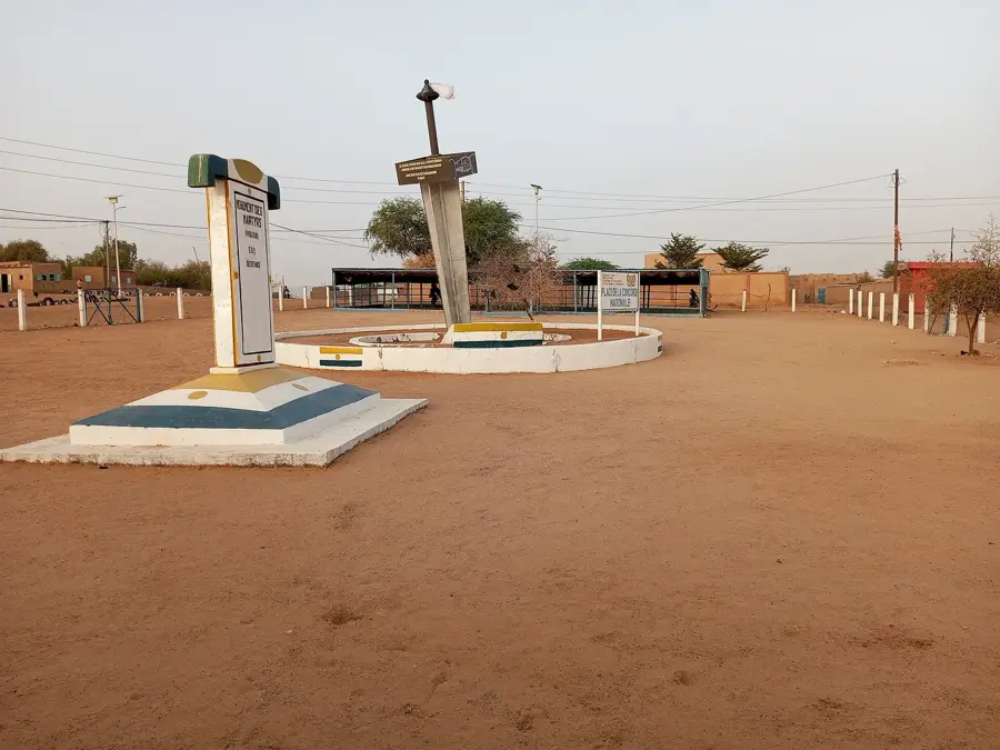
Sights nearby
💡 Tips
- The Sahelian sun is intense; always wear a hat, use sunscreen, and carry plenty of bottled water.
- Respect local Islamic customs by dressing conservatively and asking permission before taking photographs of people.
- Travel early in the morning or late in the afternoon to avoid the peak heat of the day.
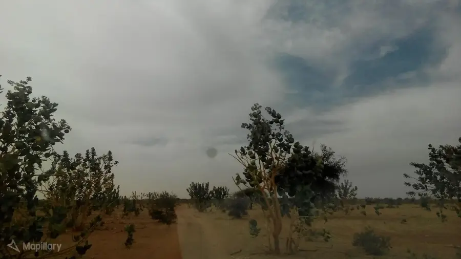
- Learn about the local reforestation projects that have transformed parts of the landscape to combat desertification.
🍽 Food
Try this thick millet or sorghum porridge, a staple food served with a hearty local soup.
A popular local drink made from spiced millet balls mixed with sour milk, excellent for cooling down.
Look for street vendors selling freshly grilled local meats, often heavily spiced.
🛍 Shopping · 🧘 Quiet spots
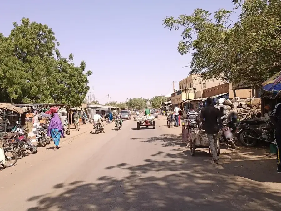
Visit the animated local market for fresh produce, grains, and traditional spices.
Look for traditional hand-woven baskets and mats made by local artisans.
Walk through the areas planted with trees as part of the Keita Integrated Development Project.
The edge of the town provides peaceful views of the vast Sahelian landscape at sunset.
Water temperature…
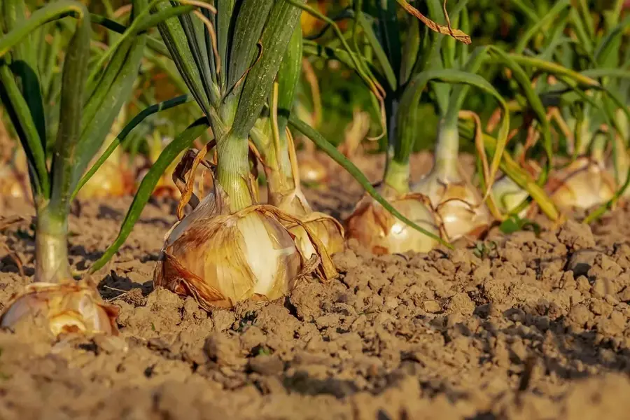
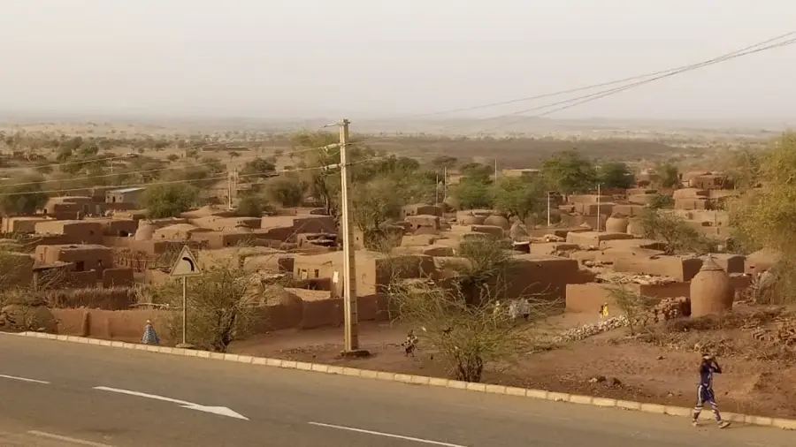
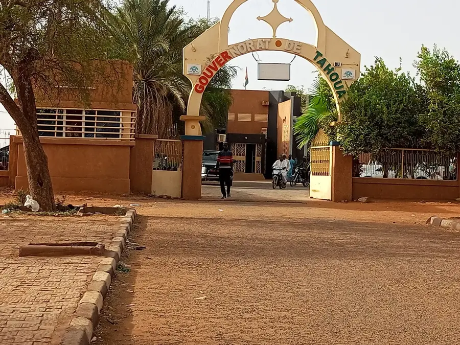
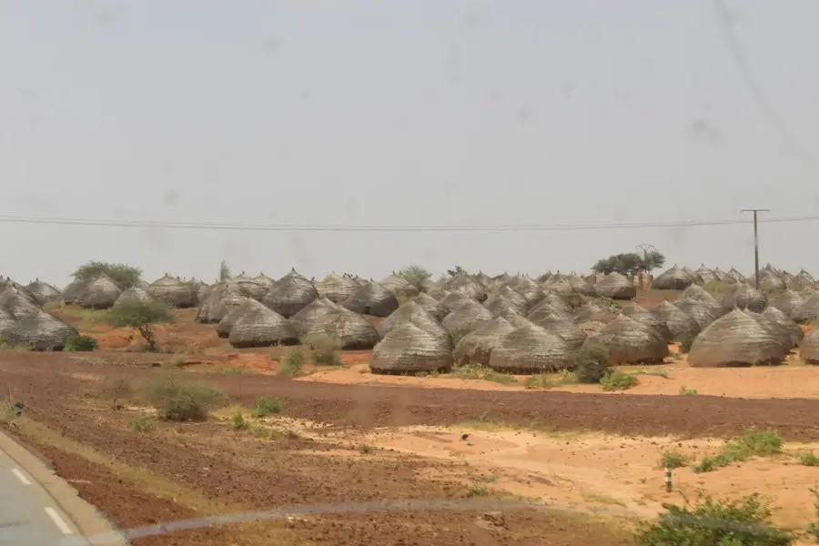
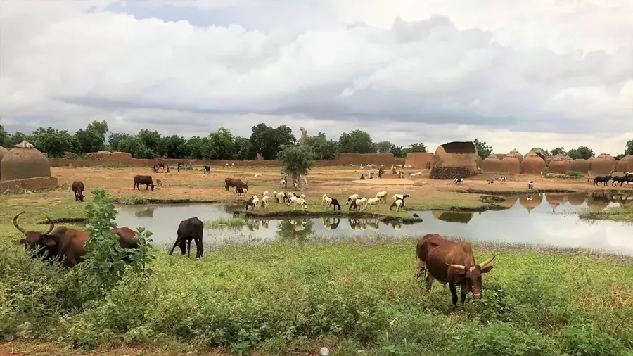
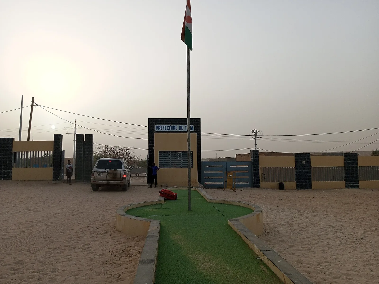
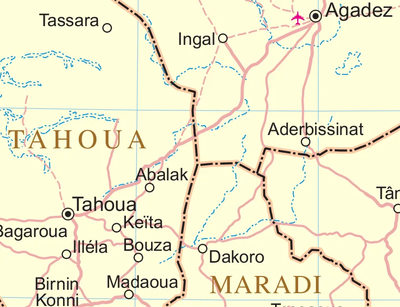
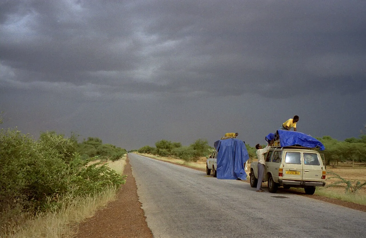
Keita is a historically and ecologically significant town in the Tahoua Region of Niger, serving as the administrative capital of its namesake department. The town gained worldwide recognition through the "Keita Project," a massive integrated rural development initiative launched in the 1980s with international support to combat devastating soil erosion and desertification. Geographically, Keita is situated in a valley within the Ader region that was previously threatened by severe degradation but has since been reclaimed for agriculture through extensive terracing and reforestation efforts. The population primarily consists of Hausa and Tuareg peoples, whose cooperation was vital to the success of these ecological measures. Today, the local economy is supported by more stable agricultural practices, producing millet, sorghum, and various vegetables. Keita is regarded as a living laboratory for the fight against climate change in the Sahel and frequently attracts experts from around the globe. Despite its successes, the town remains a place that requires ongoing commitment to preserving its natural resources. Urban planning and infrastructure have steadily improved since the project's inception, making Keita an important regional hub for education and administration.
- Location: Niger
- Top sights: Keita Department · Keita Integrated Development Project
- Nearby: Bouza (47 km)
- Population: ~14.022 (2024)
Best time to visit & climate
The most pleasant time to visit is Jan, Feb, Dec.
| Jan | Feb | Mar | Apr | May | Jun | Jul | Aug | Sep | Oct | Nov | Dec | |
|---|---|---|---|---|---|---|---|---|---|---|---|---|
| Avg °C | 20 | 24 | 28 | 32 | 34 | 33 | 30 | 28 | 28 | 28 | 25 | 21 |
| Rain mm | 0 | 0 | 1 | 2 | 13 | 41 | 117 | 169 | 58 | 9 | 0 | 0 |
Geography
Facts
- Keita is the centerpiece of one of Africa's most successful erosion control projects.
- The town is located in the heart of the Ader region, about 80 kilometers east of Tahoua.
- In the 2012 census, the town's population was estimated at approximately 10,000.
- Millions of trees were planted as part of the integrated Keita Project.
- The development project was largely funded by Italy and the FAO.
- The town lies at an elevation of about 350 meters within a sheltered valley.
Explore nearby
Notable places around
Route planner — Car & Motorhome
Where do you start? We build the route here, with stops and country notes along the way.
© OpenStreetMap contributors · OpenRouteService
Sights in the town Keita (2)
Frequently asked questions
What makes Keita special?
Are there sights in Keita?
When should I visit Keita?
Is the journey difficult?
Where can one eat?
Keita: where is it located?
Keita: what is there to see?
Keita: when is the best time to visit?
Keita: why is it worth visiting?

Nearby cities

History & landmarks

More places