Plizio Visual Lab
Edge of Erg Mourzouk
Weather…
Water temperature…
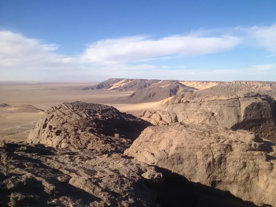
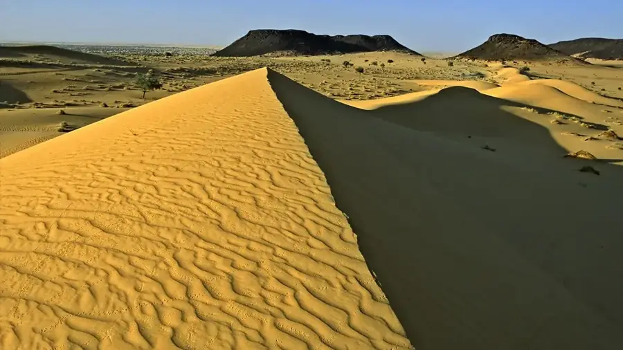
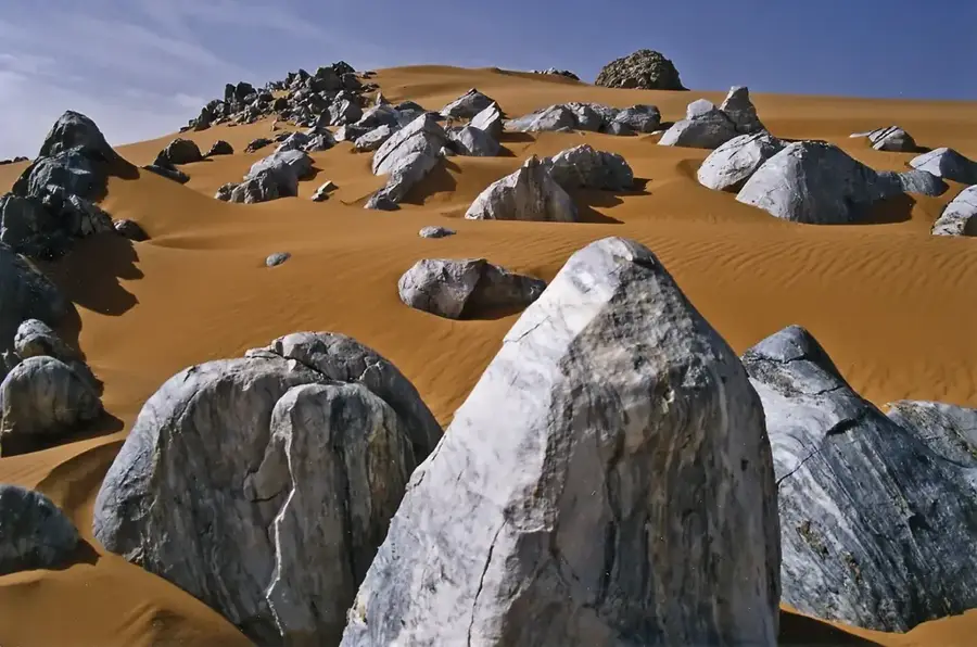
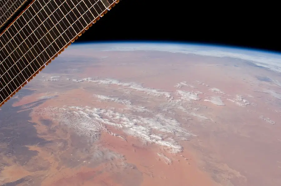
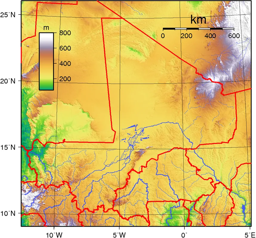
The Erg Mourzouk is a vast sand sea located primarily in southwestern Libya, but its southern fringes extend into the northern territory of Niger. This desert region is characterized by its massive longitudinal dunes, some of which reach heights of over 300 meters, creating a formidable barrier for travel. Geologically, the erg consists of Quaternary sands deposited over a structural basin, influenced by dominant wind patterns that have shaped the landscape over millennia. The edge of the erg serves as a transition zone between the rocky plateaus and the shifting sands, where rare vegetation can occasionally be found after sporadic rainfall. Historically, this area was avoided by most trans-Saharan caravans due to its extreme aridity and the difficulty of navigating the high dunes. Today, it remains one of the most remote and least explored parts of the Sahara, representing a pristine example of hyper-arid desert ecology.
Best time to visit & climate
The most pleasant time to visit is Feb, Mar, Nov.
| Jan | Feb | Mar | Apr | May | Jun | Jul | Aug | Sep | Oct | Nov | Dec | |
|---|---|---|---|---|---|---|---|---|---|---|---|---|
| Avg °C | 15 | 19 | 24 | 29 | 33 | 35 | 34 | 34 | 33 | 28 | 22 | 17 |
| Rain mm | 0 | 0 | 0 | 1 | 1 | 1 | 1 | 4 | 1 | 0 | 0 | 0 |
📋 Practical info
Geography
Facts
- The total area of the erg is approximately 58,000 square kilometers.
- The highest dune formations reach over 300 meters in height.
- The southern boundary lies in the north of the Republic of Niger.
- Geologically, it is a closed sedimentary basin structure.
- The average annual precipitation is less than 10 mm.
- Archaeological finds prove a wetter phase during the Holocene.
Explore nearby
Notable places around
Route planner — Car & Motorhome
Where do you start? We build the route here, with stops and country notes along the way.
© OpenStreetMap contributors · OpenRouteService
Sights nearby
Frequently asked questions
How difficult is a hike at the edge of Erg Mourzouk?
When is the best time to visit Erg Mourzouk?
Are there parking facilities nearby?
Should I book a guide?
What is the weather like?
Edge of Erg Mourzouk: where is it located?
Edge of Erg Mourzouk: when is the best time to visit?
Edge of Erg Mourzouk: why is it worth visiting?

Nature
More places