Plizio Visual Lab
Khumbu Valley
Weather…
Water temperature…
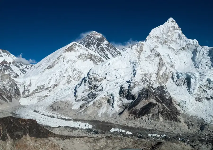
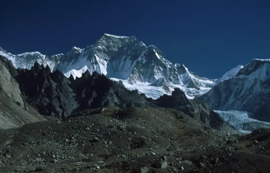
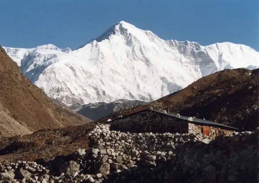
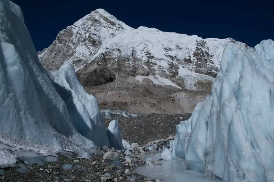
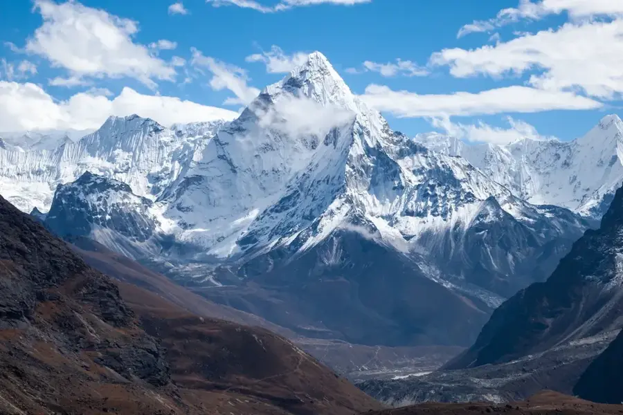
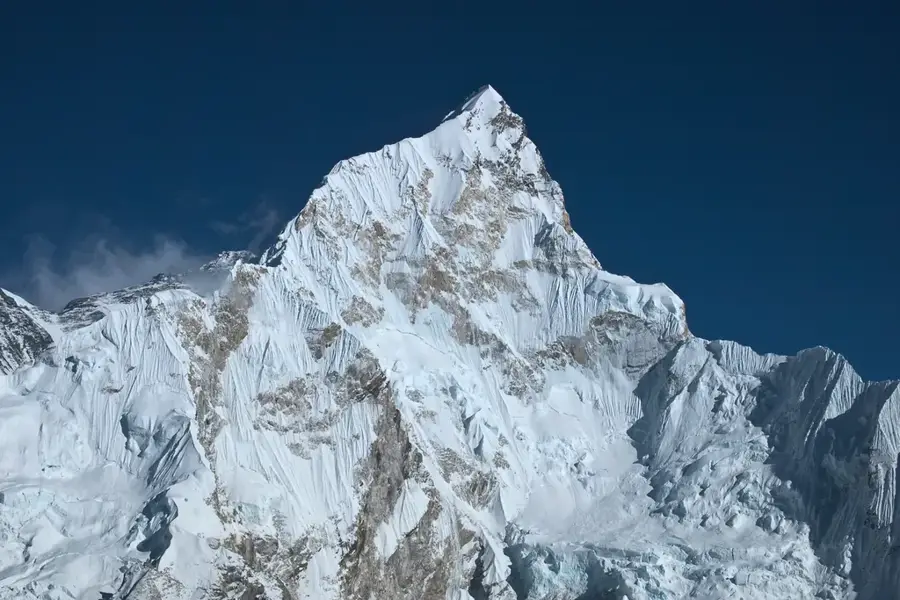
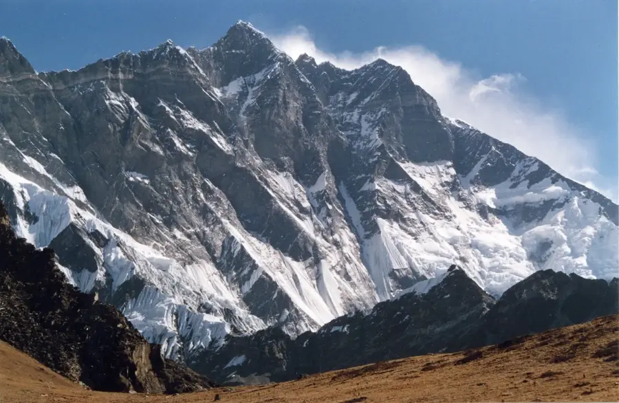
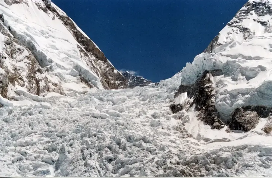
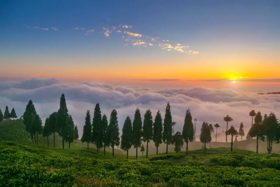
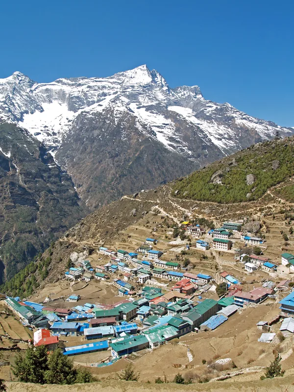
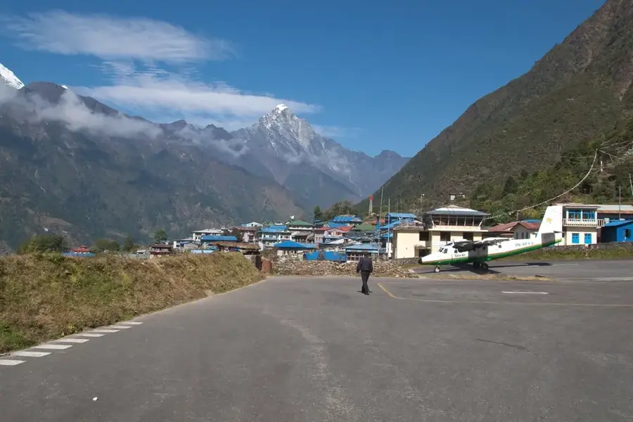
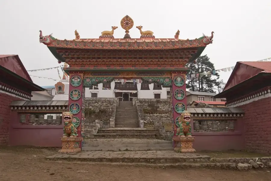
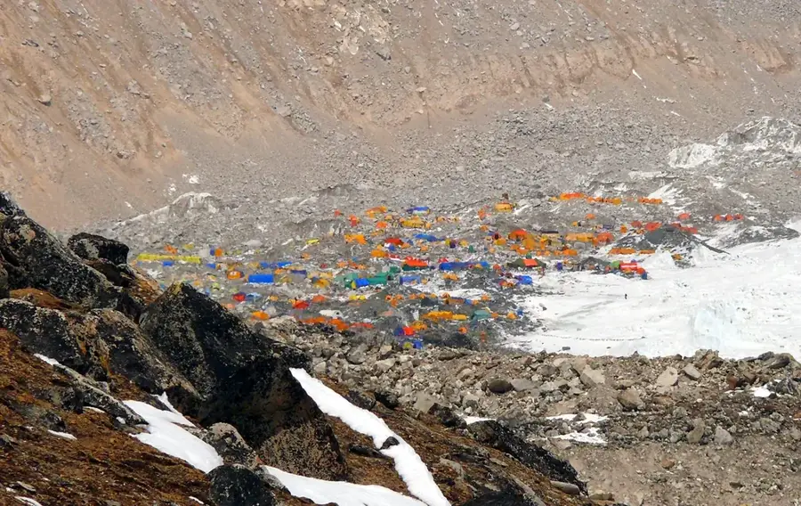
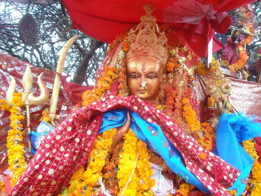
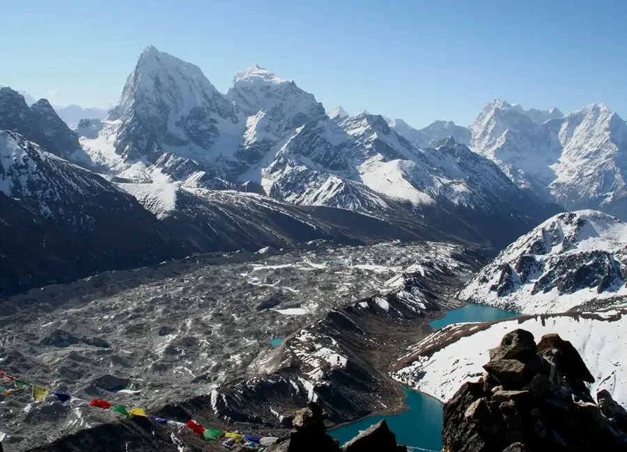
The Khumbu Valley, also known as the Everest region, is located in northeastern Nepal within the Solukhumbu district and forms a core part of Sagarmatha National Park. It ranges in altitude from approximately 2,800 meters at Lukla to the summit of Mount Everest at 8,848 meters. Geographically, the valley is shaped by massive glaciers, most notably the Khumbu Glacier, and surrounded by world-renowned peaks such as Lhotse and Nuptse. The region is the ancestral home of the Sherpa people, whose culture is deeply rooted in Tibetan Buddhism, evidenced by monasteries like the historic Tengboche Gompa. Over recent decades, the local economy has transitioned from traditional trans-border trade and yak herding to high-altitude mountaineering and trekking. Due to the extreme elevation and alpine climate, the flora and fauna are highly specialized, including rare species like the snow leopard and red panda. The valley remains inaccessible by road, requiring access via footpaths or the STOL airfield in Lukla.
- Location: Nepal
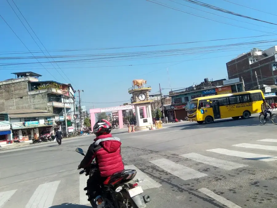
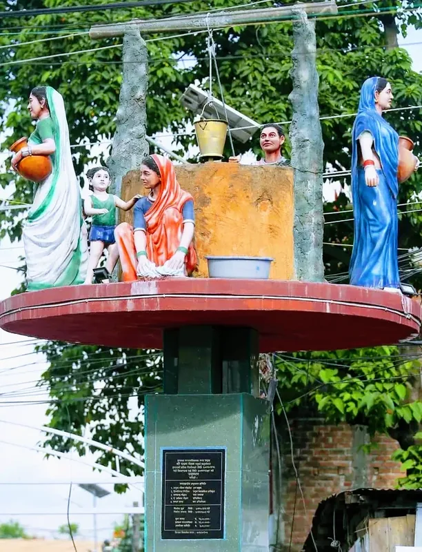
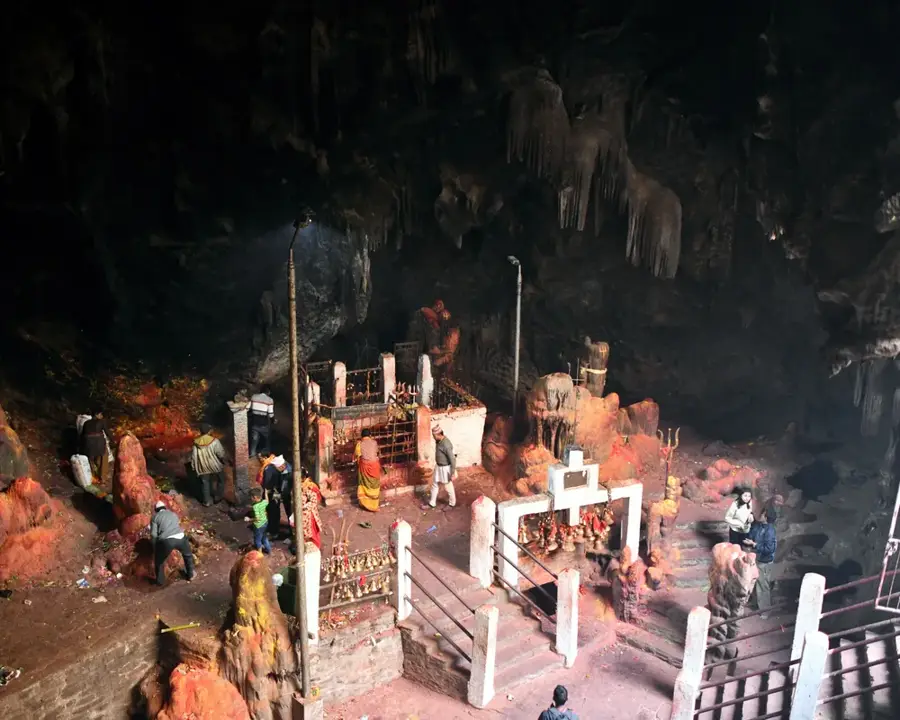
- Top sights: Khumbila · White Stupa · Stone Stupa
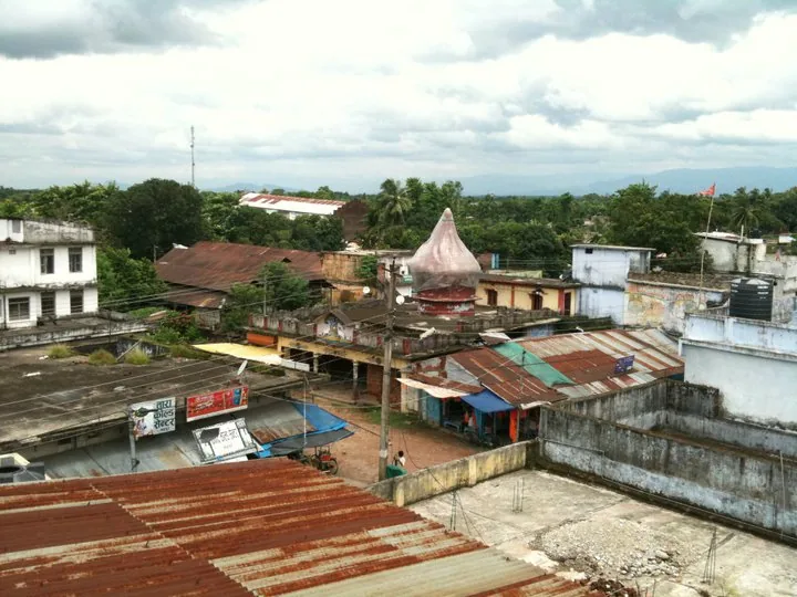
- Nearby: Triyuga (7 km)
Best time to visit & climate
The most pleasant time to visit is May, Jun, Sep.
| Jan | Feb | Mar | Apr | May | Jun | Jul | Aug | Sep | Oct | Nov | Dec | |
|---|---|---|---|---|---|---|---|---|---|---|---|---|
| Avg °C | -7 | -5 | -2 | 1 | 5 | 8 | 10 | 9 | 7 | 2 | -1 | -4 |
| Rain mm | 6 | 10 | 13 | 22 | 50 | 83 | 174 | 160 | 93 | 24 | 2 | 3 |
📋 Practical info
Geography
Facts
- The valley contains Mount Everest, the highest mountain on Earth.
- The Khumbu Glacier is the highest glacier in the world.
- Tengboche Monastery, at 3,867m, is the largest in the Khumbu region.
- Namche Bazaar is known as the unofficial capital of the Sherpas.
- Sagarmatha National Park was established in 1976.
- Lukla Airport is situated at an elevation of approximately 2,845 meters.
Explore nearby
Notable places around
Route planner — Car & Motorhome
Where do you start? We build the route here, with stops and country notes along the way.
© OpenStreetMap contributors · OpenRouteService
Sights in the town Khumbu Valley (6)
Sights nearby
Frequently asked questions
Khumbu Valley: where is it located?
Khumbu Valley: what is there to see?
Khumbu Valley: when is the best time to visit?
Khumbu Valley: why is it worth visiting?

Nearby cities
History & landmarks
Nature
More places