Plizio Visual Lab
Himalchuli
Weather…
Water temperature…
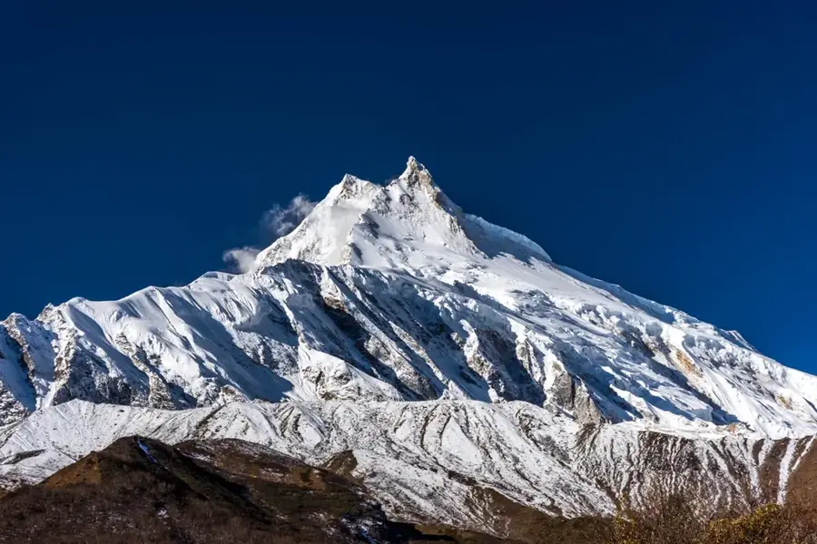
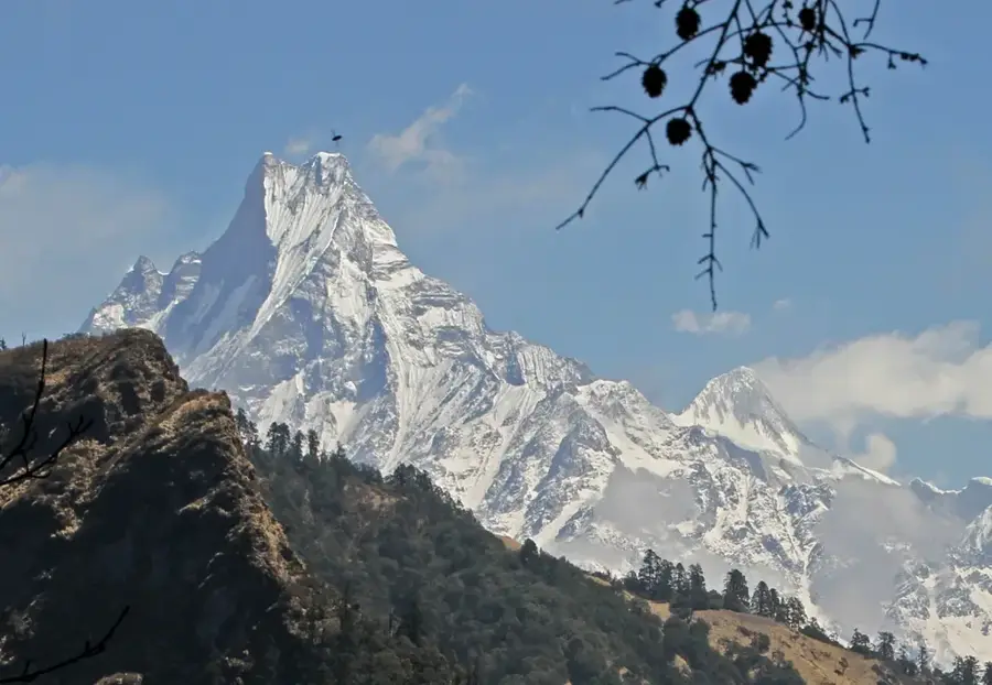
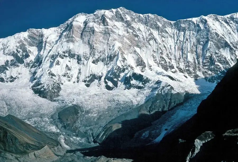
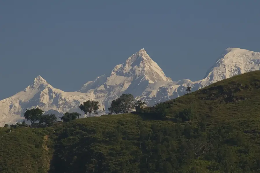
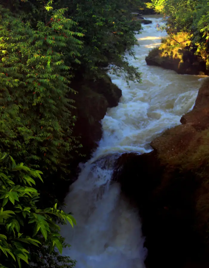
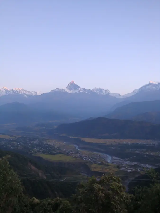
Himalchuli, rising to 7,893 meters, is the second highest peak in the Mansiri Himal range of central Nepal, situated southeast of Manaslu. The mountain is characterized by its massive scale and three main summits: the East Peak (7,893 m), West Peak (7,540 m), and North Peak (7,371 m). It is internationally recognized for its extraordinary vertical relief, towering nearly 7,000 meters above the Marsyangdi River valley, making it one of the most topographically dramatic mountains on Earth. The first successful ascent was made on May 24, 1960, by Japanese climbers Hisashi Tanabe and Masahiro Harada via the northeast face. Himalchuli is regarded as an exceptionally difficult peak to climb due to its technical complexity and the length of its approach routes. The surrounding region is home to diverse ethnic groups who revere the peak as a spiritual icon. Despite its proximity to the popular Manaslu Circuit, Himalchuli remains a challenging and relatively infrequently climbed giant of the Himalayas.
- Location: Nepal
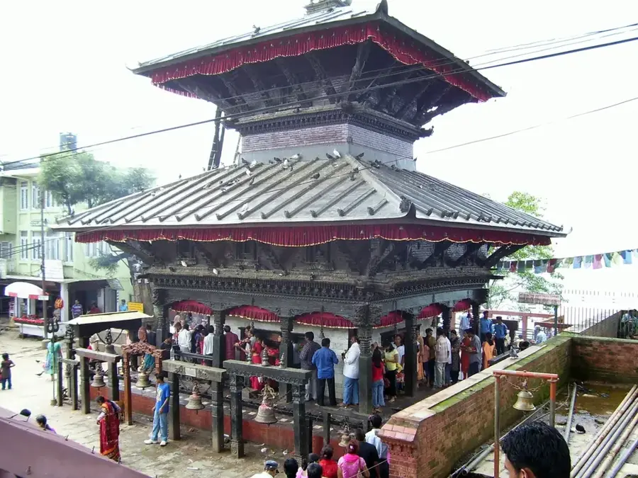
- Nearby: Chitwan (Sauraha) (18 km)
Best time to visit & climate
The most pleasant time to visit is Apr, May, Oct.
| Jan | Feb | Mar | Apr | May | Jun | Jul | Aug | Sep | Oct | Nov | Dec | |
|---|---|---|---|---|---|---|---|---|---|---|---|---|
| Avg °C | -3 | -2 | 1 | 5 | 8 | 11 | 12 | 12 | 10 | 6 | 2 | -1 |
| Rain mm | 12 | 19 | 29 | 45 | 104 | 173 | 272 | 210 | 154 | 53 | 3 | 5 |
📋 Practical info
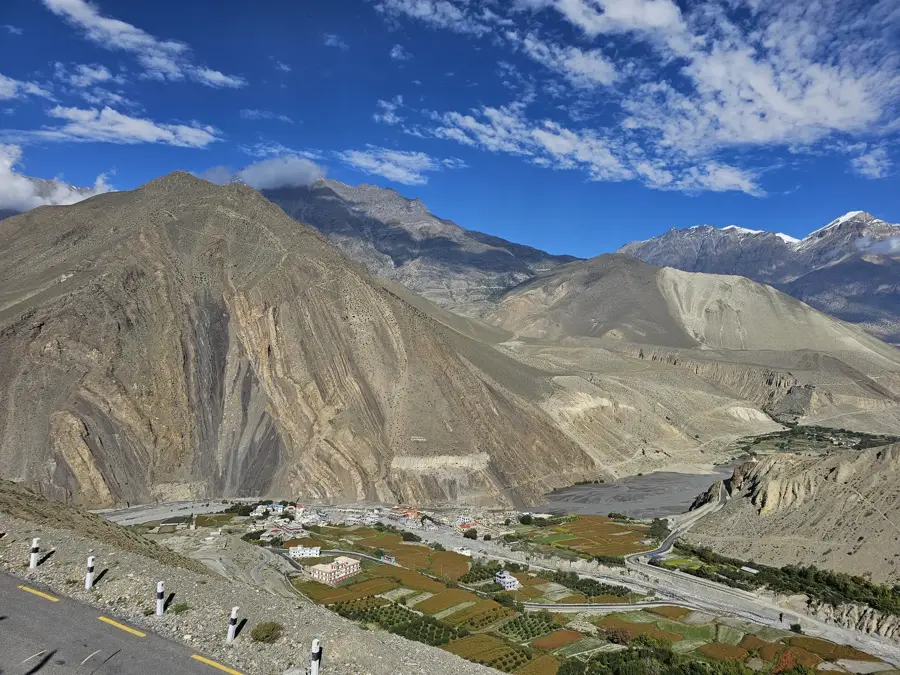
Geography
Facts
- Elevation: 7,893 meters (25,896 feet) above sea level
- Location: Mansiri Himal, central Nepal
- First Ascent: May 24, 1960, by a Japanese expedition
- Peaks: Comprises East, West, and North summits
- Topography: Rises 7,000m over the Marsyangdi River
- Global Rank: The 18th highest mountain in the world
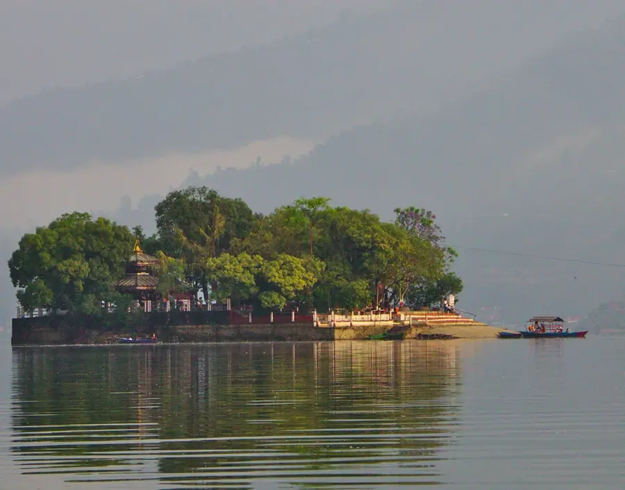
Explore nearby
Notable places around
Route planner — Car & Motorhome
Where do you start? We build the route here, with stops and country notes along the way.
© OpenStreetMap contributors · OpenRouteService
Sights in the town Himalchuli (1)
Sights nearby
Frequently asked questions
Himalchuli: where is it located?
Himalchuli: when is the best time to visit?
Himalchuli: why is it worth visiting?

History & landmarks

More places