Plizio Visual Lab
Otavi
ℹ️Practical info — Otavi
▾
🌤 Weather — 5 days
📍 Nearby
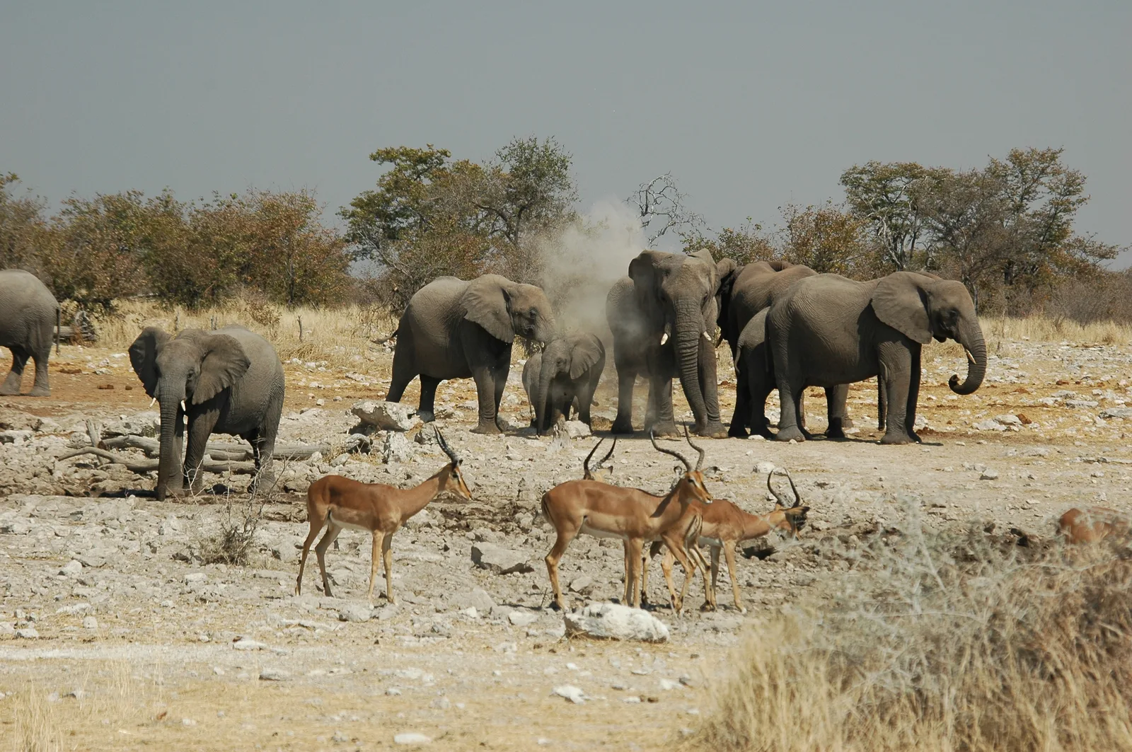
Sights nearby
💡 Tips
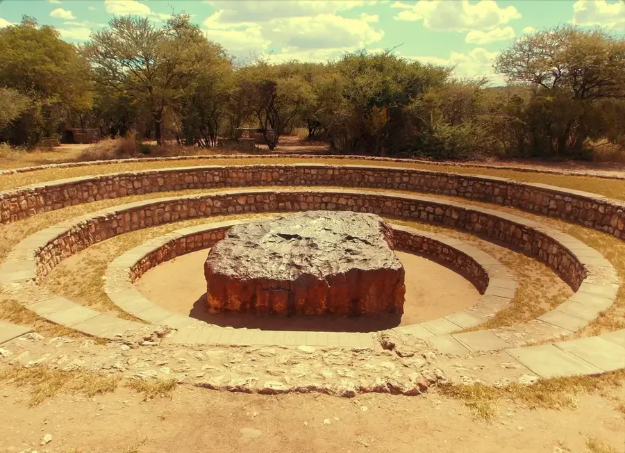
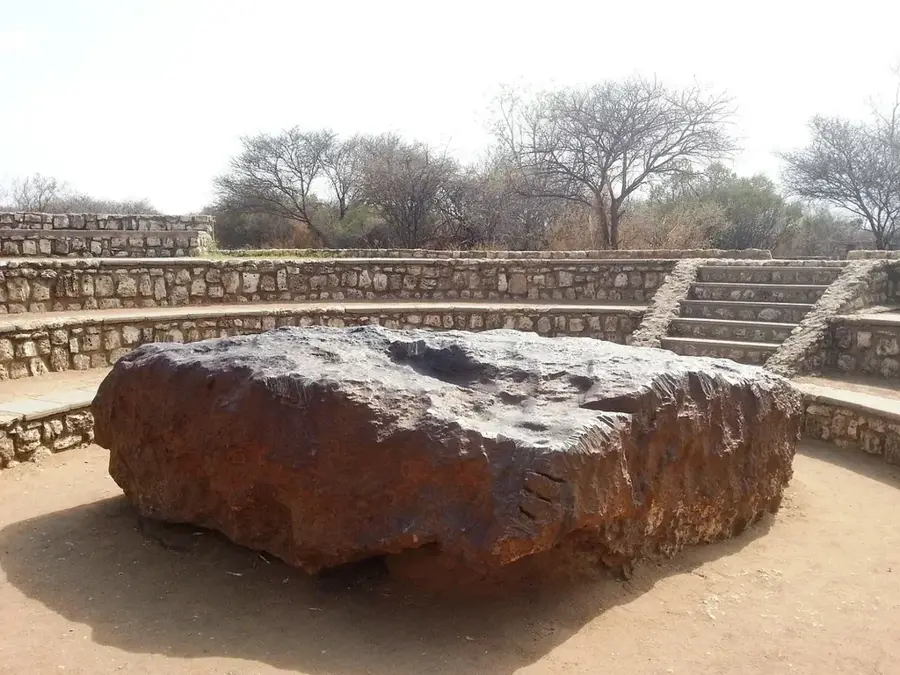
- Make time to visit the Hoba Meteorite, the largest known meteorite on Earth, located about 40 minutes away.
- The Khorab Memorial on the outskirts is a significant site for history buffs interested in WWI history.
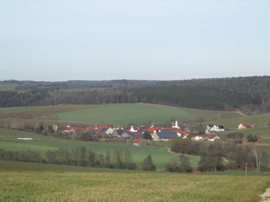
- Otavi is part of the 'Maize Triangle'; enjoy the lush green scenery which is a rare sight in Namibia.
- This is an excellent stop for fuel and snacks when driving between Windhoek and Etosha National Park.
🍽 Food
Many local lodges and guesthouses serve excellent venison, such as oryx or kudu steaks.
During harvest season, look for vendors selling freshly picked maize along the roadsides.
Buy homemade jams and biltong from the farm stalls located along the B1 highway.
🛍 Shopping · 🧘 Quiet spots
A good place to find sturdy outdoor gear and sometimes local bulk products.
Great for buying fresh seasonal produce and snacks directly from local farmers.
Take a light hike in the hills surrounding the town for panoramic views and silence.
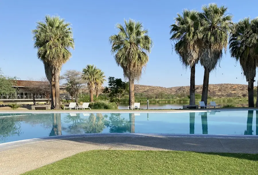
Many local farm-stays have lush, quiet gardens that feel like an oasis in the dry landscape.
Water temperature…
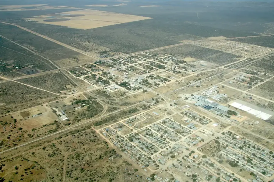
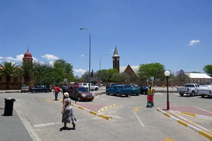
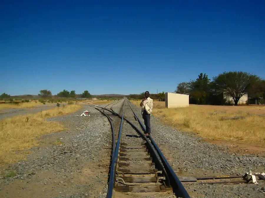
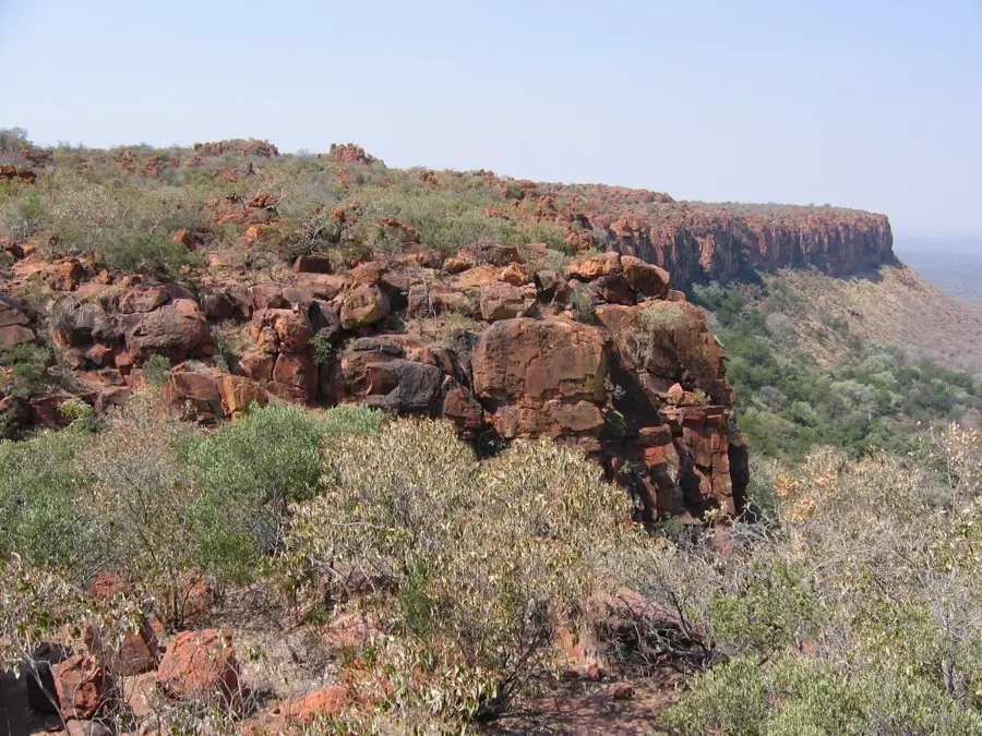
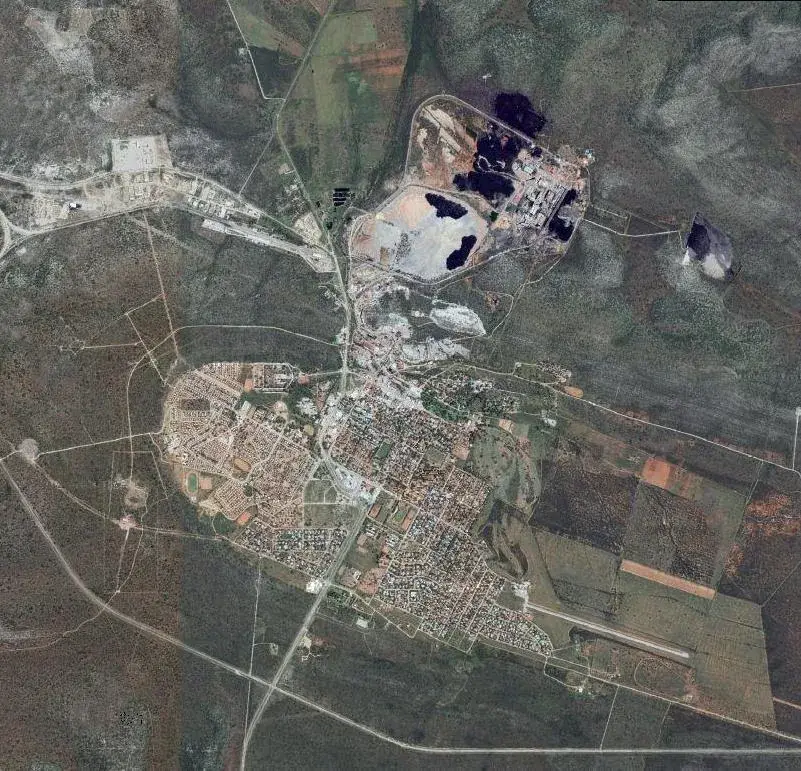
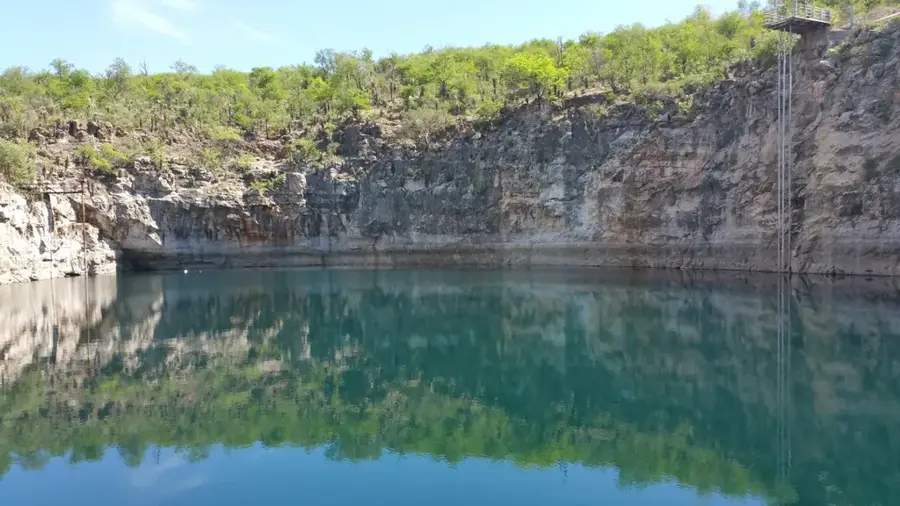
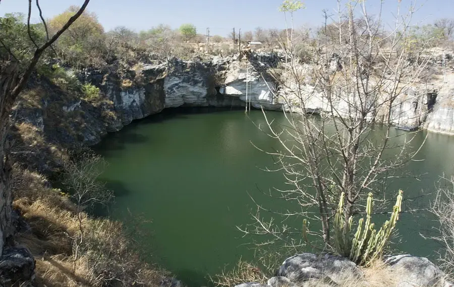
Otavi is located within the 'Maize Triangle' of northern Namibia, tucked away among the rolling hills of the Otavi Mountains in the Otjozondjupa Region. The town holds significant historical importance as the site where the Treaty of Khorab was signed on July 9, 1915, ending German colonial rule in South West Africa. Geographically, the area enjoys relatively high rainfall compared to the rest of the country, making it one of Namibia's most productive agricultural zones. Besides crop farming, mining is a cornerstone of the local economy, supported by a large cement plant and historic copper deposits. Otavi functions as a major transport junction on the B1 national highway and the railway line heading north toward Tsumeb and Angola. The surrounding landscape is famous for its caves and underground lakes, including the renowned Dragon's Breath Hole. The town maintains a quiet, pastoral atmosphere, serving as a primary service center for the extensive commercial farming community.
- Location: Namibia
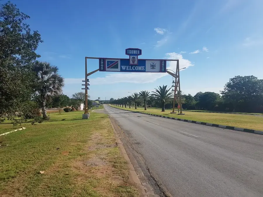
- Nearby: Tsumeb (60 km)
- Population: ~6.213 (2024)
Best time to visit & climate
The most pleasant time to visit is May, Aug, Sep.
| Jan | Feb | Mar | Apr | May | Jun | Jul | Aug | Sep | Oct | Nov | Dec | |
|---|---|---|---|---|---|---|---|---|---|---|---|---|
| Avg °C | 25 | 24 | 23 | 22 | 19 | 16 | 16 | 19 | 23 | 26 | 26 | 26 |
| Rain mm | 125 | 101 | 79 | 31 | 3 | 0 | 0 | 0 | 2 | 26 | 66 | 87 |
Geography
Facts
- Site of the signing of the Treaty of Khorab (1915)
- Part of Namibia's productive 'Maize Triangle'
- Important hub for the Namibian cement industry
- Located in the Otavi Mountains, Otjozondjupa Region
- Home to Elephant Mountain, a prominent local landmark
- Near Dragon's Breath Hole, one of the world's largest underground lakes
Explore nearby
Notable places around
Route planner — Car & Motorhome
Where do you start? We build the route here, with stops and country notes along the way.
© OpenStreetMap contributors · OpenRouteService
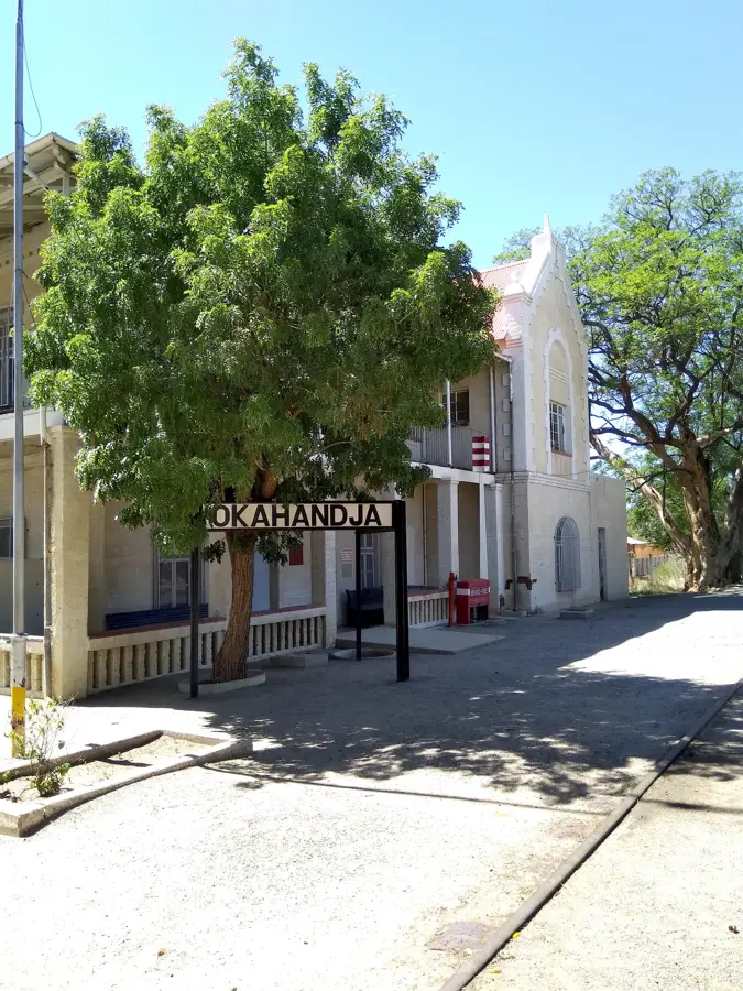
Sights in the town Otavi (1)
Frequently asked questions
What is special about Otavi?
Can you visit attractions there?
When is the best time to travel?
Are there good accommodations?
Is the area safe?
Otavi: where is it located?
Otavi: when is the best time to visit?
Otavi: why is it worth visiting?

Nearby cities
History & landmarks

Nature
More places