Plizio Visual Lab
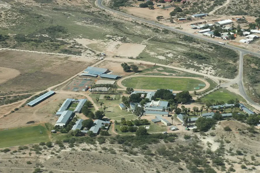
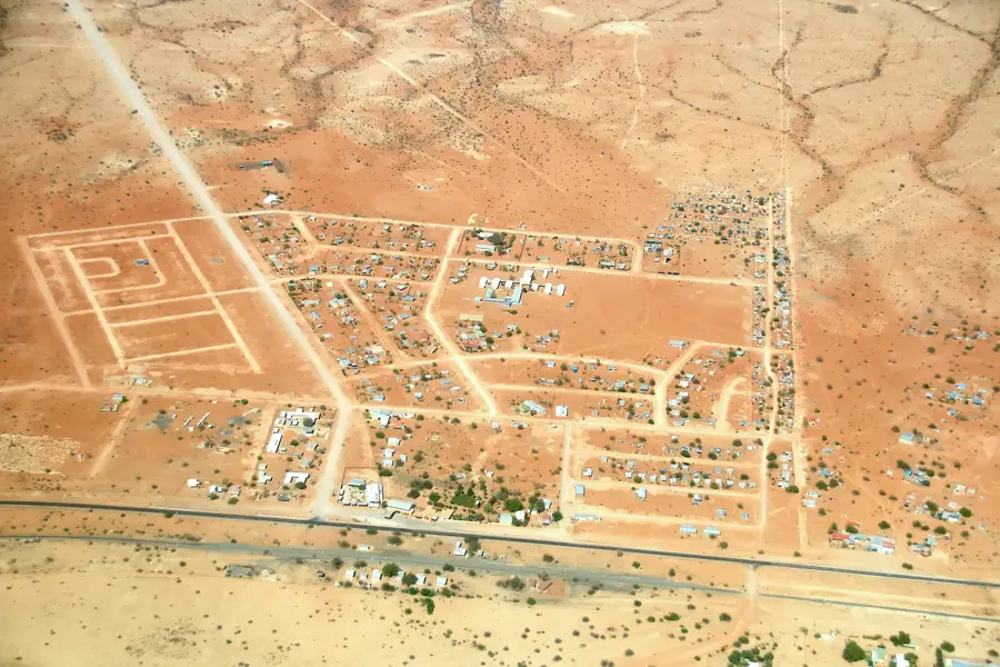
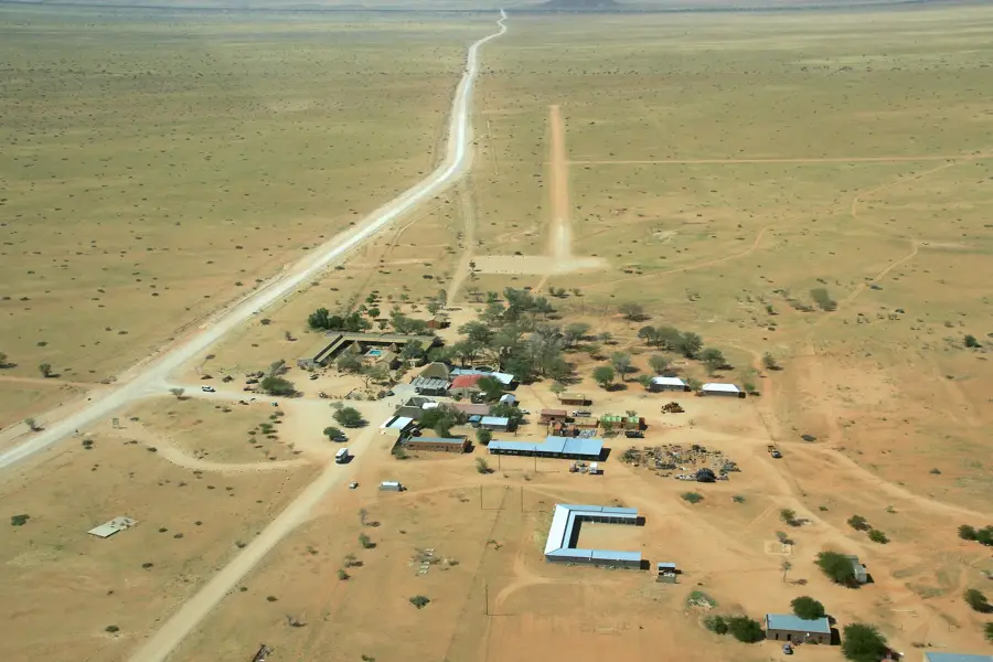
Naukluft Mountains
Weather…
Water temperature…
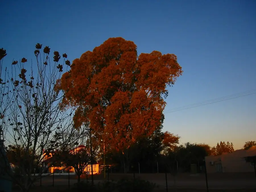
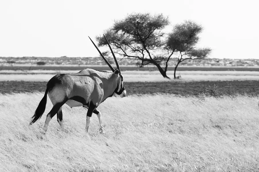
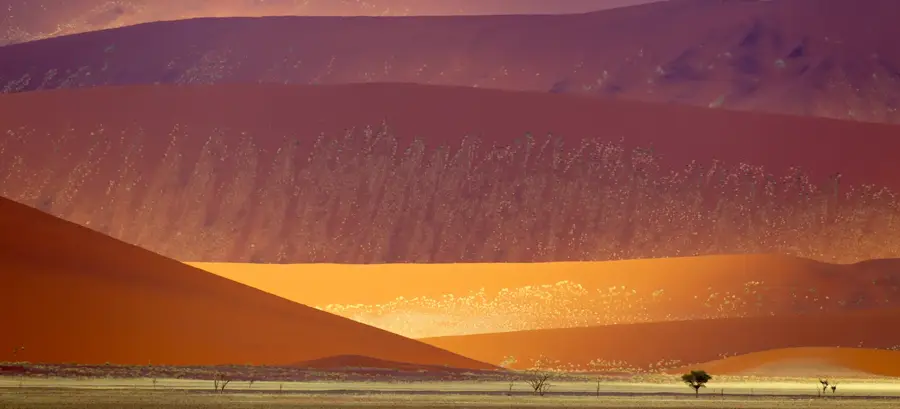
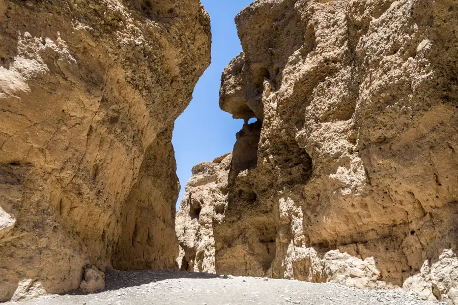
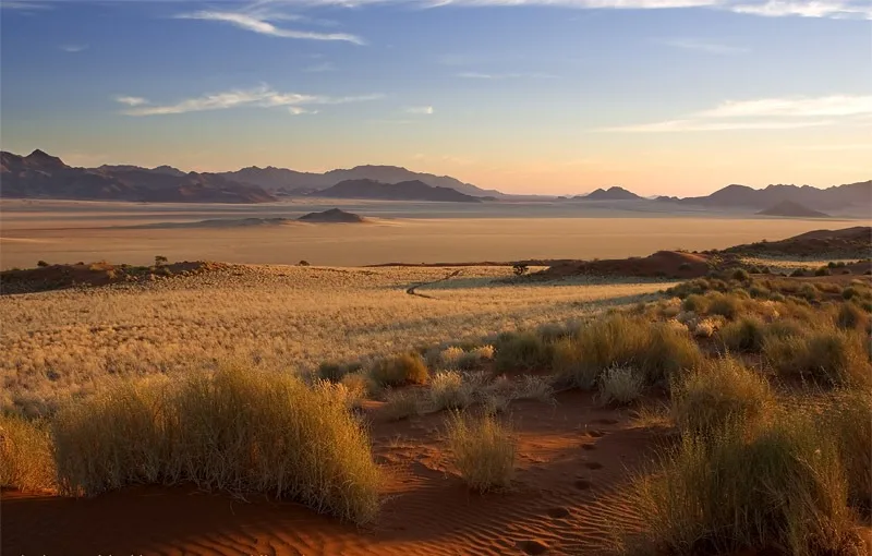
The Naukluft Mountains are a striking limestone massif in central-western Namibia, forming the easternmost section of the Namib-Naukluft National Park. Rising sharply from the Namib Desert floor, the mountains are celebrated for their deep gorges, perennial water pools, and some of the country’s most challenging hiking terrain. Geologically, the massif consists of complexly folded layers of dolomite and limestone, carved over millennia by water erosion into a labyrinth of canyons. The area serves as a critical sanctuary for the Hartmann's mountain zebra, which thrives on the steep, rocky slopes. Permanent springs feed small streams that gather in crystal-clear pools, creating lush, green oases in a starkly arid landscape. Historically, these mountains were the stronghold of Nama leader Hendrik Witbooi during his resistance against German colonial forces in the late 19th century. Today, the Naukluft sector is a premier destination for hikers and nature enthusiasts, featuring renowned routes like the Olive Trail and the 120-kilometer Naukluft Hiking Trail, offering intimate encounters with unique desert-adapted flora and fauna.
- Location: Namibia
- Nearby: Naukluft (13 km)
📋 Practical info
Geography
Facts
- The highest peak reaches an elevation of 1,965 meters.
- Geology consists of Precambrian dolomite and limestone.
- Primary sanctuary for the endemic Hartmann's mountain zebra.
- Historical stronghold of Nama leader Hendrik Witbooi.
- The main Naukluft Hiking Trail spans 120 kilometers.
- Perennial springs create permanent crystal-clear rock pools.
Explore nearby
Notable places around
Route planner — Car & Motorhome
Where do you start? We build the route here, with stops and country notes along the way.
© OpenStreetMap contributors · OpenRouteService
Sights nearby
Frequently asked questions
Is the hike difficult?
Are there campsites?
Can I swim there?
Are there wild animals?
Do I have to pay admission?
Naukluft Mountains: where is it located?
Naukluft Mountains: why is it worth visiting?

Nearby cities

History & landmarks
Nature
More places