Plizio Visual Lab
Sittaung River
Weather…
Water temperature…
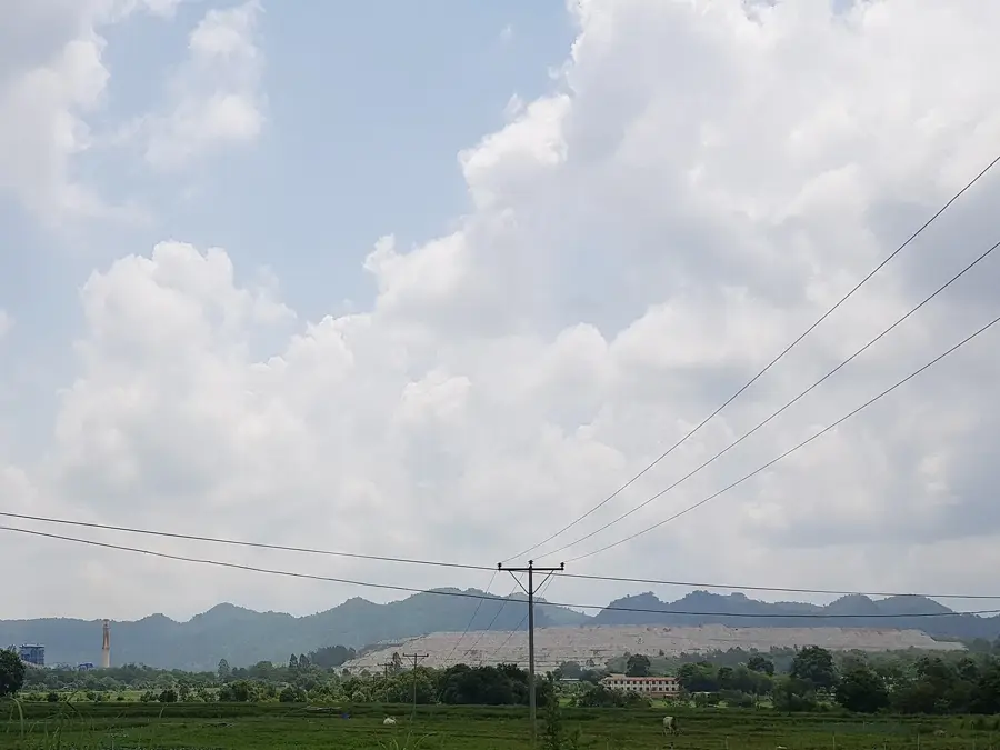
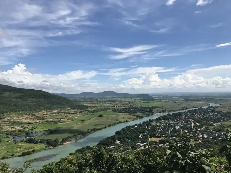
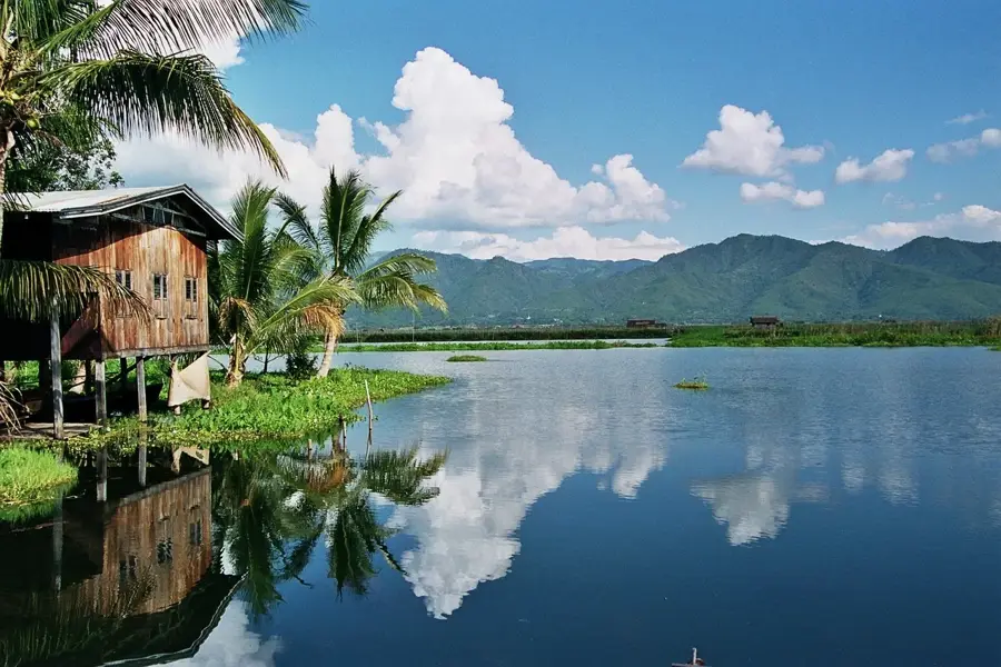
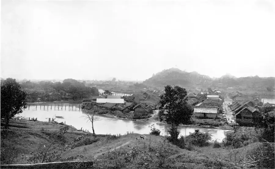
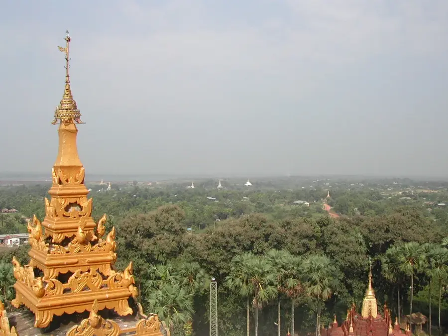
The Sittaung River is a major waterway in south-central Myanmar, flowing for approximately 420 kilometers from the Shan Plateau to the Gulf of Martaban. Unlike the Irrawaddy, it flows between the Bago Yoma mountains to the west and the Shan Hills to the east, carving a narrow valley through the country's heartland. The river is notorious for its powerful tidal bore at the mouth, which can reach heights of over one meter, making it treacherous for navigation and preventing large vessels from entering. Historically, the Sittaung has been a critical route for the timber industry, particularly for floating teak logs from the interior forests to coastal mills. Although limited for transport, its waters are extensively diverted for irrigation to support rice cultivation in the fertile plains. The river's estuary is constantly changing due to heavy siltation, a natural process that reshapes the coastline of the Andaman Sea.
- Location: Myanmar (Burma)
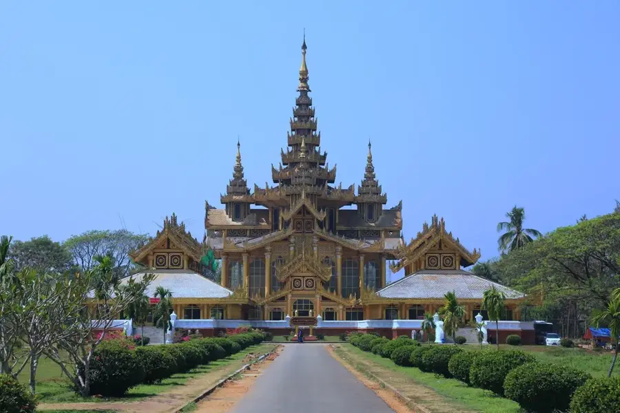
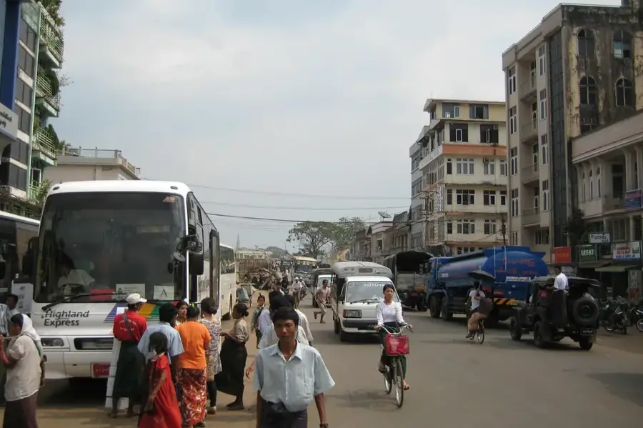
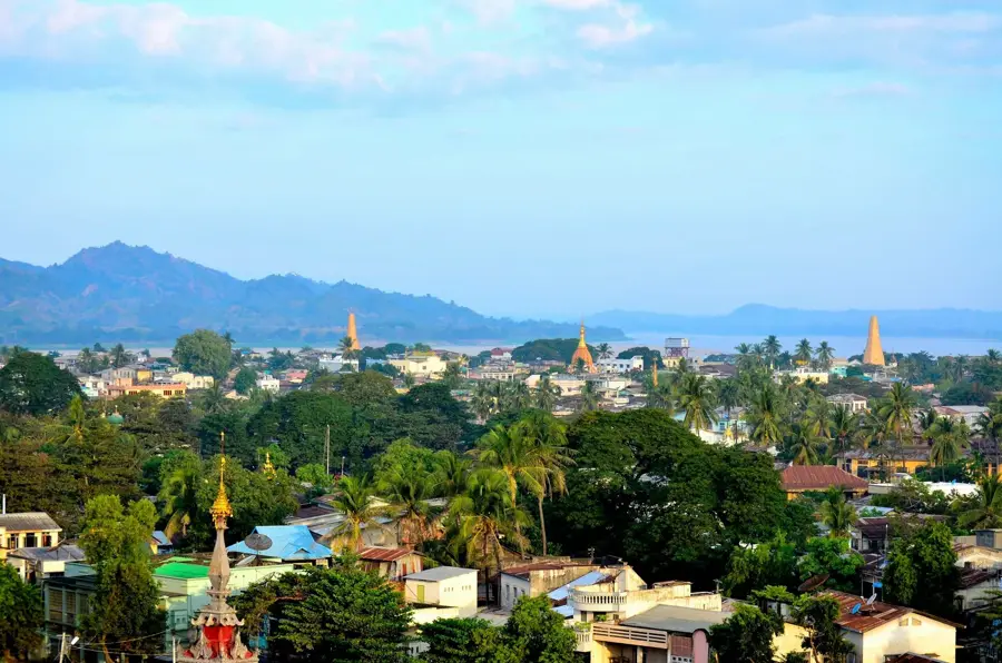
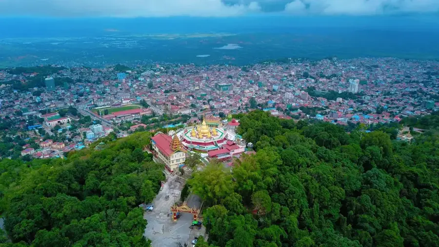
- Nearby: Taungoo (35 km)
Best time to visit & climate
The most pleasant time to visit is Jan, Feb, Dec.
| Jan | Feb | Mar | Apr | May | Jun | Jul | Aug | Sep | Oct | Nov | Dec | |
|---|---|---|---|---|---|---|---|---|---|---|---|---|
| Avg °C | 25 | 27 | 30 | 33 | 31 | 28 | 27 | 27 | 27 | 28 | 27 | 25 |
| Rain mm | 8 | 1 | 14 | 22 | 109 | 180 | 216 | 192 | 134 | 107 | 20 | 7 |
📋 Practical info
Geography
Facts
- The river has a total length of roughly 420 kilometers.
- It empties into the Gulf of Martaban in the Andaman Sea.
- The tidal bore at its mouth can exceed 1 meter in height.
- It flows primarily through a valley between Bago Yoma and Shan Hills.
- The river is unsuitable for large-scale commercial shipping.
- Teak timber has historically been the primary cargo floated downstream.
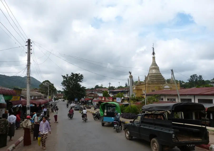
Explore nearby
Notable places around
Route planner — Car & Motorhome
Where do you start? We build the route here, with stops and country notes along the way.
© OpenStreetMap contributors · OpenRouteService
Sights nearby
Frequently asked questions
Is the Sittaung River developed for tourism?
What is the main feature of this river?
Is a river cruise possible?
What can be found near the river?
Is the region safe for travelers?
Sittaung River: where is it located?
Sittaung River: when is the best time to visit?
Sittaung River: why is it worth visiting?

Nearby cities
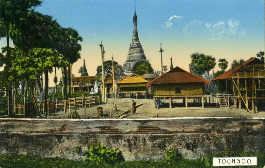
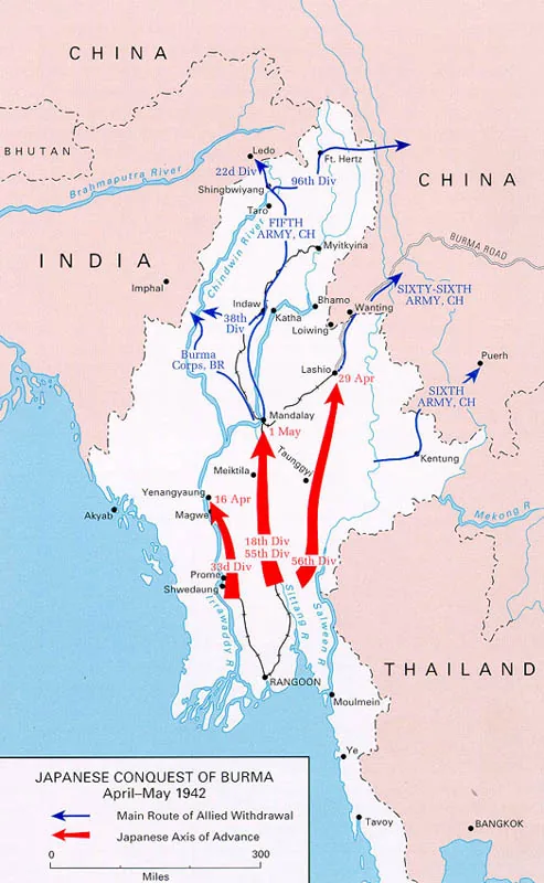
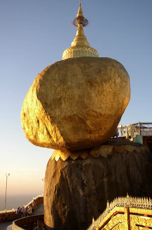
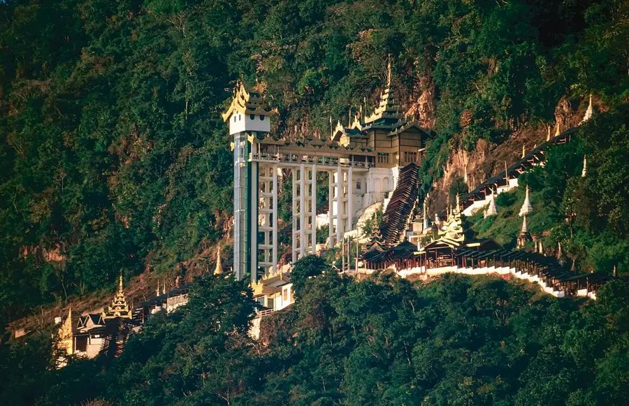
History & landmarks
More places