Plizio Visual Lab
Sittang Valley
Weather…
Water temperature…
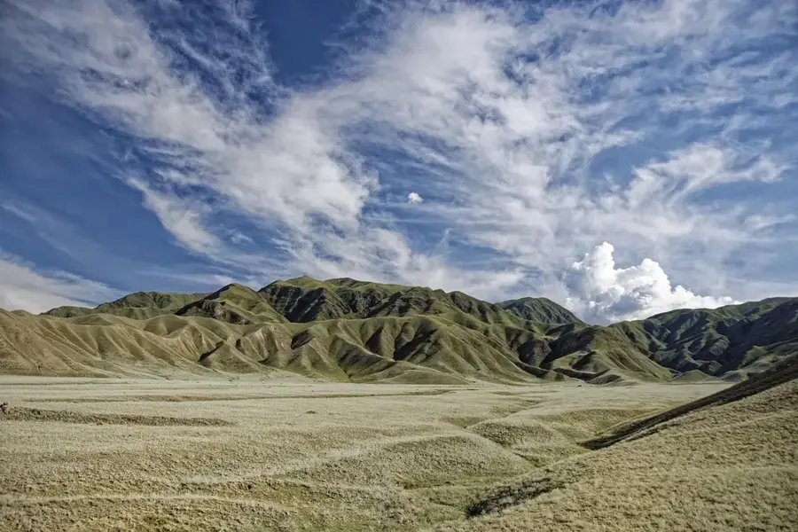
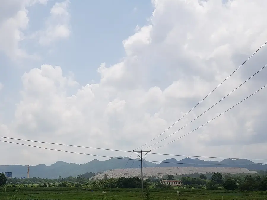
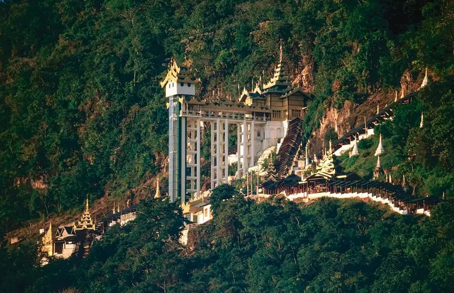
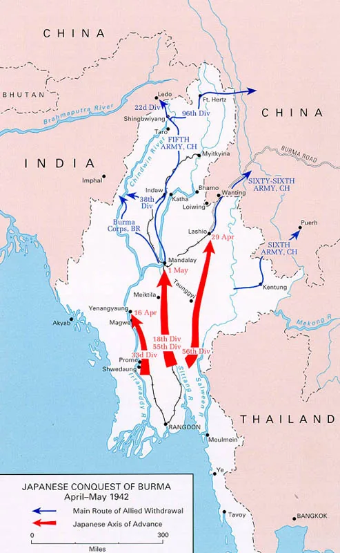
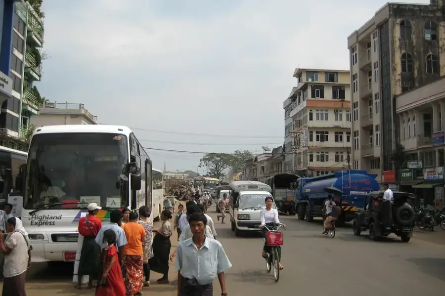
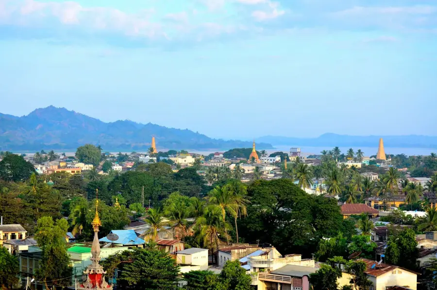
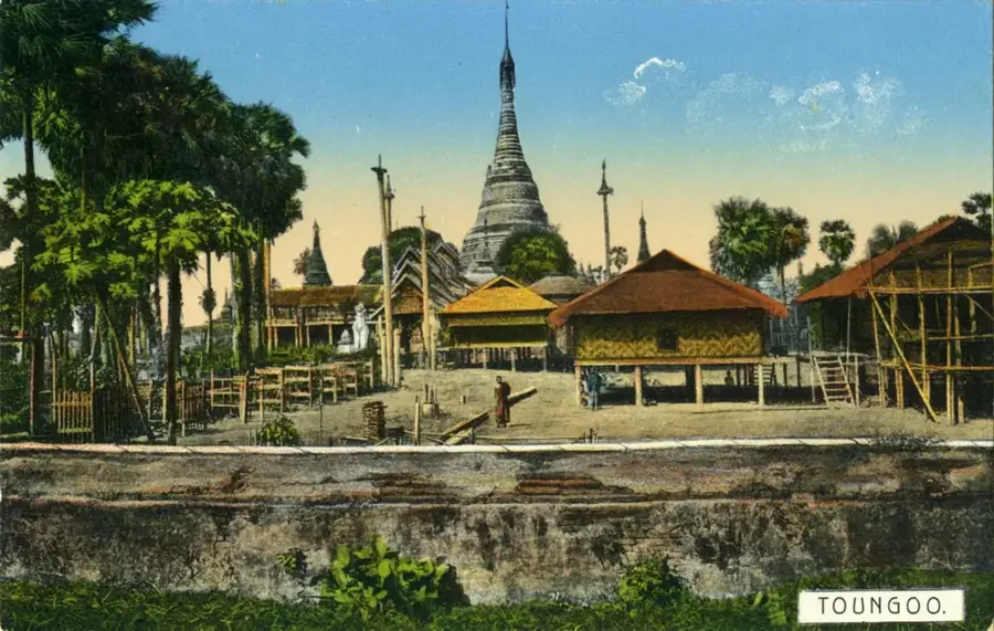
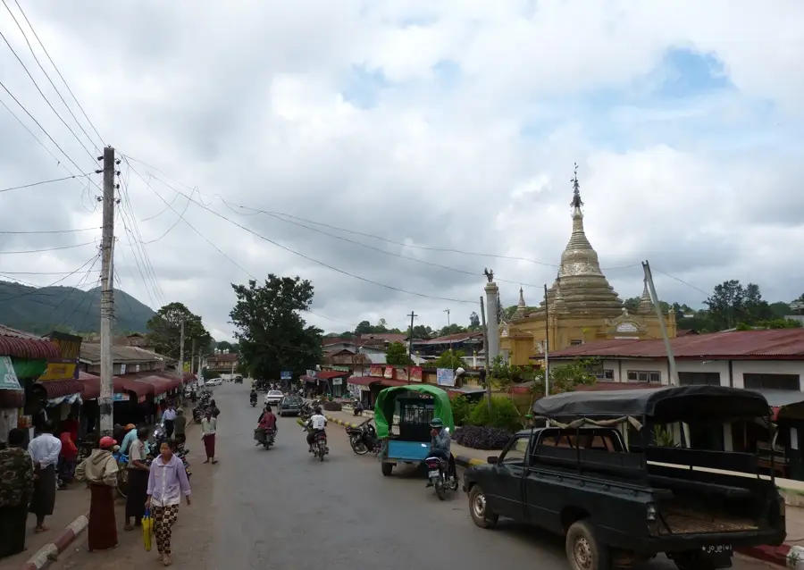
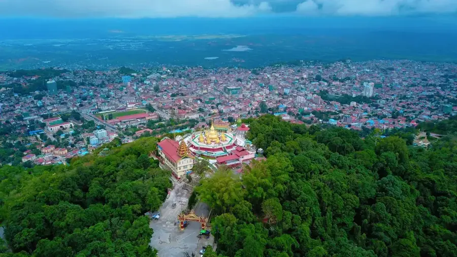
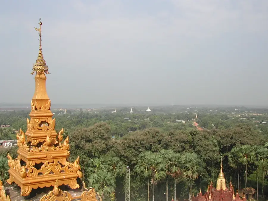
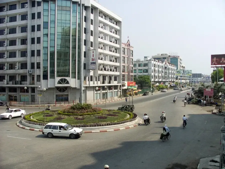
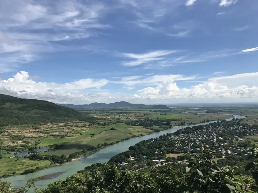
The Sittang Valley extends through central Myanmar, situated between the Pegu Yoma mountains to the west and the Shan Plateau to the east. The Sittang River, which flows through the valley, is unlike Myanmar's other major rivers in that it is unsuitable for large-scale navigation due to strong tidal bores and shifting sandbanks. Nevertheless, the valley plays a crucial role in agriculture, particularly in rice cultivation and the timber trade of teak from the adjacent mountains. Historically, the valley was a heartland of the Mon people and home to the ancient city of Bago, which once served as the capital of the Hanthawaddy Kingdom. The region is renowned for its numerous pagodas and religious sites, reflecting the population's deep Buddhist roots. During World War II, the Sittang Valley was the site of fierce fighting, notably at the Sittang Bridge in 1942. Today, the valley serves as a key transport corridor connecting the capital Naypyidaw with the commercial hub of Yangon, significantly driving the country's infrastructural development.
- Location: Myanmar (Burma)
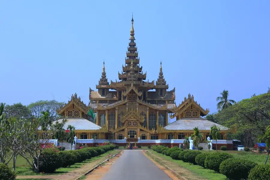
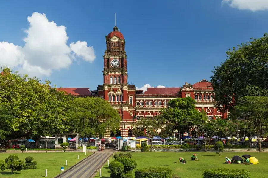
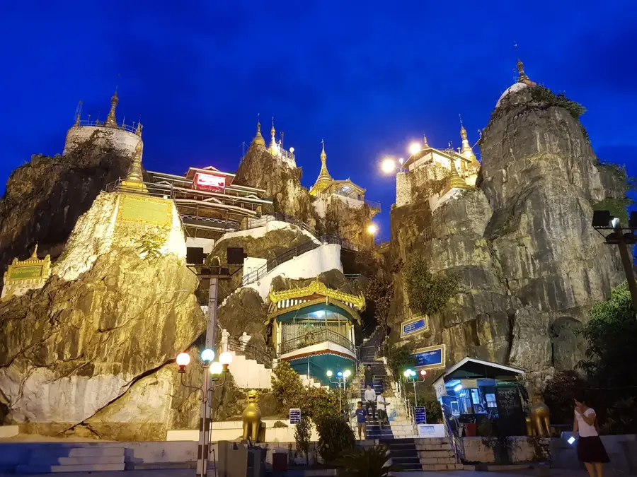
- Top sights: တပ်ဦးကျောင်းစေတီ · The Salvation Army Phyu Children Home · သဒ္ဓမ္မဝတီ
- Nearby: Taungoo (9 km)
Best time to visit & climate
The most pleasant time to visit is Jan, Feb, Dec.
| Jan | Feb | Mar | Apr | May | Jun | Jul | Aug | Sep | Oct | Nov | Dec | |
|---|---|---|---|---|---|---|---|---|---|---|---|---|
| Avg °C | 24 | 26 | 29 | 31 | 30 | 28 | 27 | 26 | 27 | 27 | 26 | 24 |
| Rain mm | 9 | 1 | 10 | 22 | 92 | 137 | 176 | 153 | 102 | 92 | 21 | 7 |
📋 Practical info
Geography
Facts
- The Sittang River is approximately 420 kilometers long.
- Bago hosts the Shwemawdaw Pagoda, which stands 114 meters tall.
- Tidal bores in the river can reach heights of up to one meter.
- The valley is Myanmar's most significant region for teak timber export.
- The destruction of the Sittang Bridge in February 1942 briefly halted the Japanese advance.
- The region is part of the primary rice-growing belt in lower Myanmar.
Explore nearby
Notable places around
Route planner — Car & Motorhome
Where do you start? We build the route here, with stops and country notes along the way.
© OpenStreetMap contributors · OpenRouteService
Sights in the town Sittang Valley (4)
Sights nearby
Frequently asked questions
Is the Sittang Valley a tourist hotspot?
What makes the valley attractive?
How is the infrastructure?
Are there cultural sights?
When is the best time to travel?
Sittang Valley: where is it located?
Sittang Valley: what is there to see?
Sittang Valley: when is the best time to visit?
Sittang Valley: why is it worth visiting?

Nearby cities
History & landmarks
Nature
More places