Plizio Visual Lab
Bago Yoma
Weather…
Water temperature…
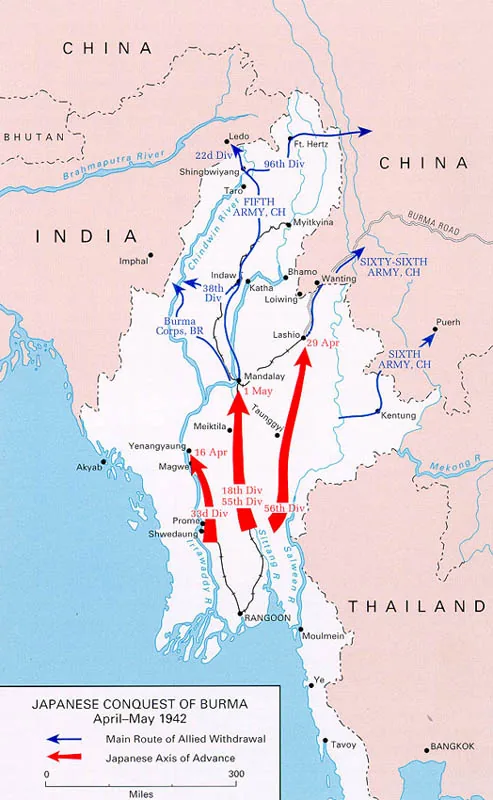
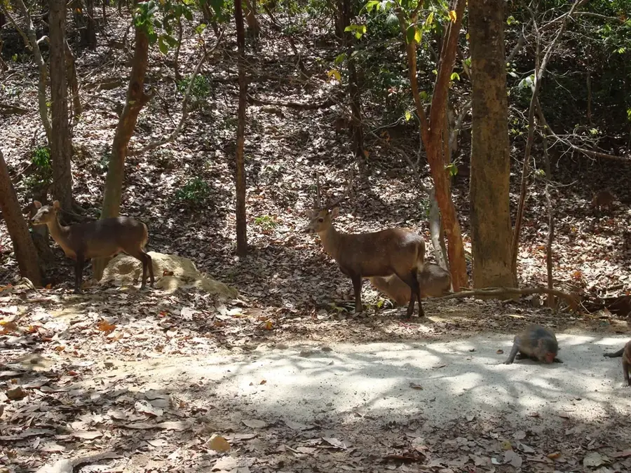
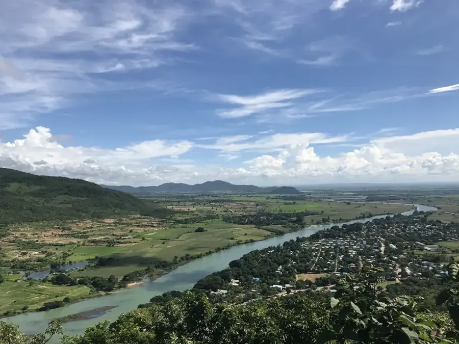
The Bago Yoma, also known as the Pegu Range, is a range of low hills and mountains in central Myanmar, situated between the Irrawaddy and Sittaung rivers. This region is historically world-renowned for its natural teak forests, which for centuries provided one of the country's most valuable export commodities. The range has an average elevation between 400 and 600 meters, though it reaches higher peaks in certain sections of the northern extent. The dense mixed deciduous forests of Bago Yoma are a critical habitat for wild Asian elephants and have historically served as a strategic hideout for various political movements. Due to intensive logging in the mid-20th century, the area is now a focus of significant reforestation efforts and biodiversity conservation projects. The range acts as a vital watershed for the surrounding agricultural plains, influencing the local microclimate of central Myanmar.
- Location: Myanmar (Burma)
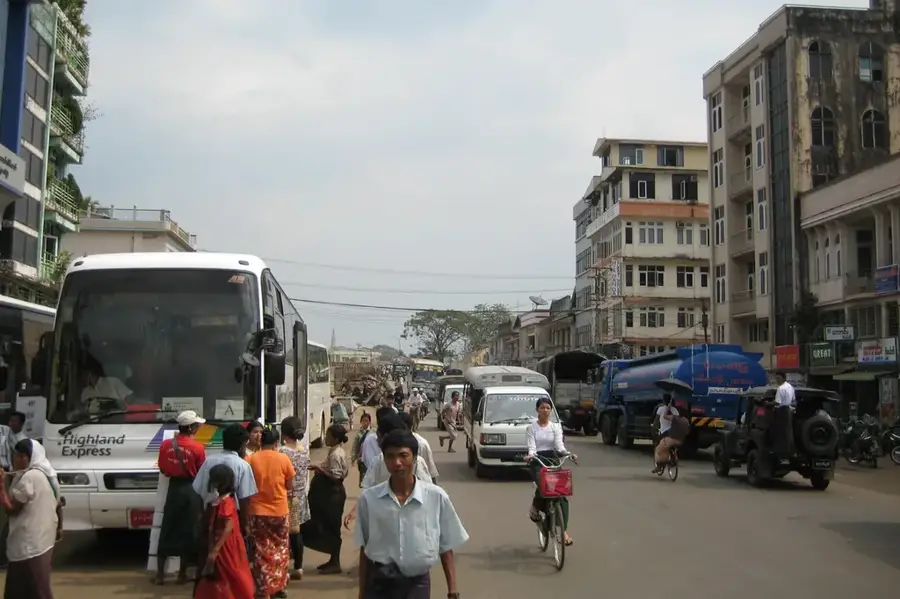
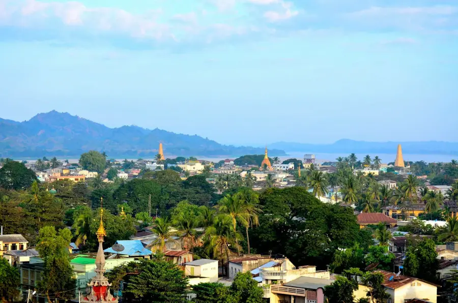
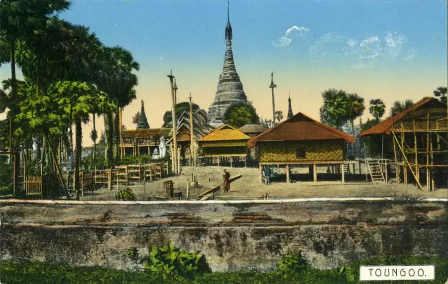
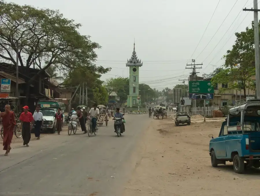
- Nearby: Taungoo (26 km)
Best time to visit & climate
The most pleasant time to visit is Jan, Feb, Dec.
| Jan | Feb | Mar | Apr | May | Jun | Jul | Aug | Sep | Oct | Nov | Dec | |
|---|---|---|---|---|---|---|---|---|---|---|---|---|
| Avg °C | 24 | 26 | 29 | 31 | 30 | 28 | 27 | 26 | 27 | 27 | 26 | 24 |
| Rain mm | 9 | 1 | 10 | 22 | 92 | 137 | 176 | 153 | 102 | 92 | 21 | 7 |
📋 Practical info
Geography
Facts
- The range lies between the Irrawaddy and Sittaung river basins.
- It is famous for producing high-quality natural teak timber.
- The average elevation of the hills is 400 to 600 meters.
- The area is a major refuge for wild Asian elephant populations.
- Extensive reforestation is underway to restore original canopy cover.
- Historically, the range has been a center for political insurgency.
Explore nearby
Notable places around
Route planner — Car & Motorhome
Where do you start? We build the route here, with stops and country notes along the way.
© OpenStreetMap contributors · OpenRouteService
Sights nearby
Frequently asked questions
What is Bago-Joma known for?
Can you go hiking there?
Is the region easily accessible?
Is there tourism infrastructure there?
When should one avoid the region?
Bago Yoma: where is it located?
Bago Yoma: when is the best time to visit?
Bago Yoma: why is it worth visiting?

Nearby cities
History & landmarks
Nature
More places