Plizio Visual Lab
Tete Lowland

Weather…
Water temperature…
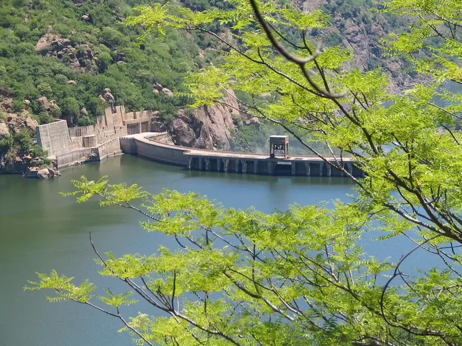
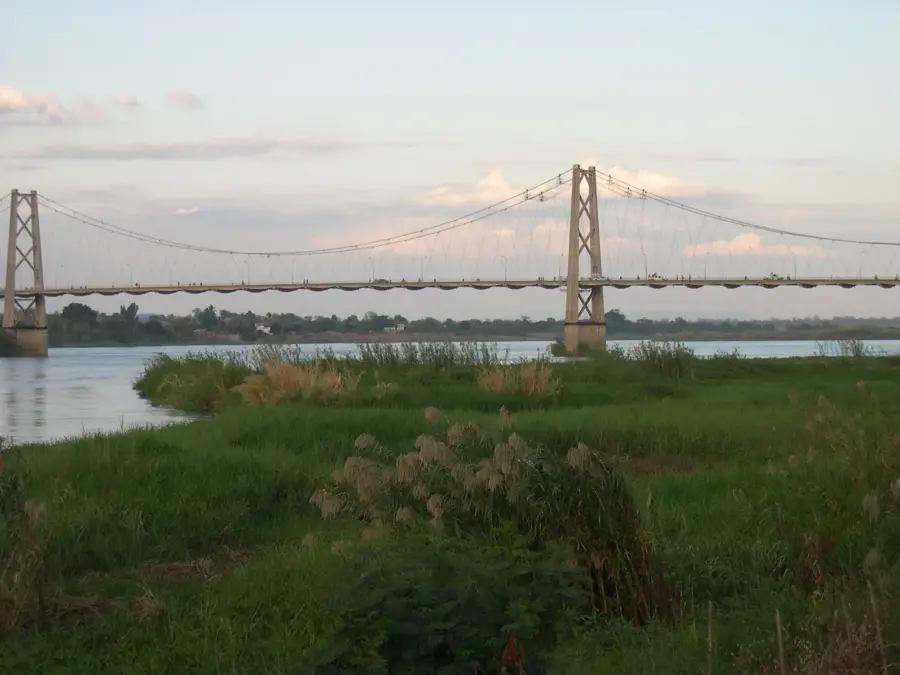
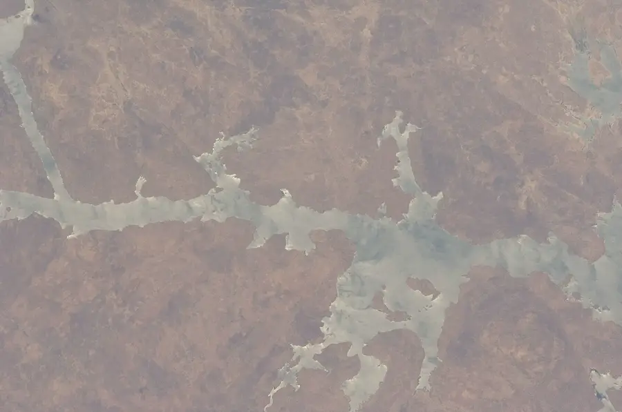
The Tete Lowland surrounds the city of Tete in northwestern Mozambique, forming part of the middle Zambezi Basin. This region is geographically defined by a wide, relatively flat basin rimmed by rugged hills and plateaus. Geologically, the area is of immense global significance as it contains one of the world's largest unexploited coal reserves, embedded in rock formations dating back to the Permian period. The climate is among the hottest in Mozambique, with temperatures regularly exceeding 40 degrees Celsius, restricting natural vegetation to dry savanna and mopane woodlands. The Zambezi River serves as the region's lifeblood, enabling inland navigation and large-scale hydroelectric power generation via the nearby Cahora Bassa Dam. Historically, Tete was a vital trading post for gold and ivory and remains one of the oldest colonial settlements established in the East African interior.
- Location: Mozambique
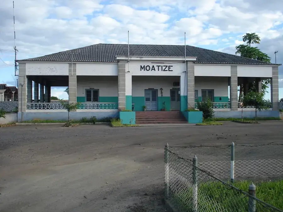
- Nearby: Moatize (63 km)
Best time to visit & climate
The most pleasant time to visit is May, Jun, Aug.
| Jan | Feb | Mar | Apr | May | Jun | Jul | Aug | Sep | Oct | Nov | Dec | |
|---|---|---|---|---|---|---|---|---|---|---|---|---|
| Avg °C | 25 | 25 | 24 | 23 | 21 | 20 | 19 | 22 | 26 | 29 | 29 | 27 |
| Rain mm | 269 | 191 | 135 | 37 | 14 | 12 | 20 | 4 | 8 | 13 | 72 | 211 |
📋 Practical info
Geography
Facts
- Tete is widely regarded as one of the hottest locations in Mozambique.
- The coal reserves at Moatize are among the largest on Earth.
- The Zambezi River reaches a width of over 600 meters at Tete.
- The Samora Machel Bridge is a key engineering landmark in the region.
- The settlement of Tete was established by the Portuguese in 1531.
- The lowlands sit at an elevation of 100 to 200 meters above sea level.
Explore nearby
Notable places around
Route planner — Car & Motorhome
Where do you start? We build the route here, with stops and country notes along the way.
© OpenStreetMap contributors · OpenRouteService
Sights nearby
Frequently asked questions
What is special about Tete-Tiefland?
Is it very hot?
Are there settlements there?
What should one keep in mind?
How is the vegetation?
Tete Lowland: where is it located?
Tete Lowland: when is the best time to visit?
Tete Lowland: why is it worth visiting?

Nearby cities
Nature
More places