Plizio Visual Lab
Lupata Forest

Weather…
Water temperature…
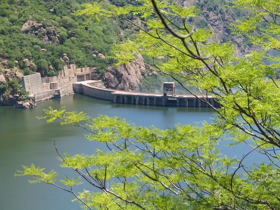
The Lupata Forest stretches along the spectacular Lupata Gorge on the Zambezi River in Tete Province. Often referred to as the 'Gates of the Zambezi,' this region is characterized by a dramatic landscape where the mighty river winds through a narrow mountain range. The vegetation consists predominantly of dry Miombo woodlands and Mopane savannas, well-adapted to the seasonal dry periods. Historically, this area posed a significant challenge to early explorers like David Livingstone, as the currents in the gorge made navigation difficult. The forest provides a habitat for a variety of wildlife, including elephants, leopards, and numerous birds of prey that nest in the gorge's rocky cliffs. Geologically, basaltic and sedimentary rock formations dominate, dropping steeply to the riverbanks. Despite its remote location, the Lupata Forest is an ecologically sensitive area, forming an important bridge between the various ecosystems of the Zambezi Basin.
Best time to visit & climate
The most pleasant time to visit is Jun–Aug.
| Jan | Feb | Mar | Apr | May | Jun | Jul | Aug | Sep | Oct | Nov | Dec | |
|---|---|---|---|---|---|---|---|---|---|---|---|---|
| Avg °C | 26 | 26 | 25 | 24 | 23 | 21 | 20 | 23 | 26 | 28 | 29 | 27 |
| Rain mm | 202 | 158 | 90 | 20 | 7 | 5 | 8 | 2 | 4 | 9 | 85 | 174 |
📋 Practical info
Geography
Facts
- Located in the Tete Province along the Zambezi River
- Situated at the strategic and scenic Lupata Gorge
- Famous for challenging David Livingstone's expeditions
- Consists mainly of Miombo and Mopane woodland
- Crucial habitat for African elephants and leopards
- Geologically composed of basalt and sedimentary rock
Explore nearby
Notable places around
Route planner — Car & Motorhome
Where do you start? We build the route here, with stops and country notes along the way.
© OpenStreetMap contributors · OpenRouteService
Sights nearby
Frequently asked questions
Is Lupata-Wald suitable for beginners?
Can you camp there?
Is there drinking water in the forest?
When is the best time for photography?
Are there ticks in the forest?
Lupata Forest: where is it located?
Lupata Forest: when is the best time to visit?
Lupata Forest: why is it worth visiting?

Nature
More places