Plizio Visual Lab
Rushinga
ℹ️Practical info — Rushinga
▾
🌤 Weather — 5 days
📍 Nearby
Sights nearby
💡 Tips
- Bring plenty of cash in US Dollars, as ATMs and card facilities are virtually non-existent in this rural area.
- A formal handshake (often with the left hand supporting the right elbow) is a sign of respect when meeting elders.
- Travel between May and October when the roads are in better condition and easier to navigate.
- The area is a malaria-risk zone; ensure you take prophylaxis and sleep under a mosquito net.
- Seek the local headman’s blessing if you plan to explore deeper into the traditional villages.
🍽 Food
Try this local specialty made with bambara nuts (nemo), dried vegetables, and a fried okra relish.
A traditional locally brewed beer often shared during community gatherings in the villages.
Small dried fish, typically fried until crispy and served with sadza and leafy vegetables.
🛍 Shopping · 🧘 Quiet spots
Visit early in the morning for traditional grains, handmade crafts, and local seeds.
Depending on the season, look for marula fruits or mobola plums sold along the main roads.
The rolling hills surrounding the town offer peaceful walking paths and scenic views of the landscape.
Simply walking through the traditional homesteads provides a slow-paced and quiet atmosphere.
Water temperature…
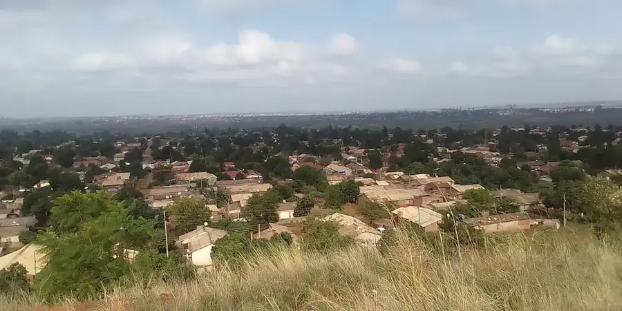
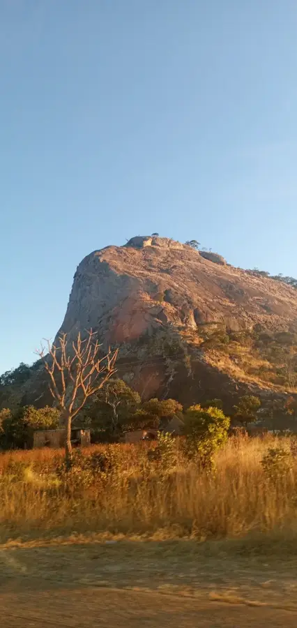
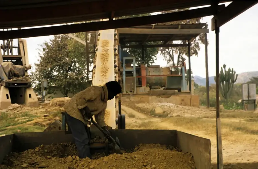
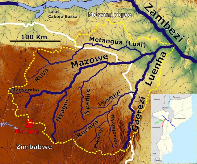
Rushinga serves as the administrative capital of the Rushinga District in the far northeast of Zimbabwe, positioned near the border with Mozambique. The town is situated in a region defined by its hot, semi-arid climate, which has shaped the local economy toward the production of drought-resistant crops like cotton, sorghum, and millet. As a border-adjacent settlement, Rushinga acts as a vital transit point and trading hub for goods moving between Zimbabwe and its eastern neighbor. The town provides essential services for a large rural hinterland, hosting government offices, schools, and medical facilities that are crucial for the local population. Despite the challenging environmental conditions, Rushinga is a key center for regional commerce, where traditional agriculture and cross-border trade intersect. Its remote location provides a glimpse into the resilient rural life of Mashonaland Central and the rugged, arid beauty of Zimbabwe's northeastern frontier.
- Location: Zimbabwe
- Nearby: Mount Darwin (59 km)
Best time to visit & climate
The most pleasant time to visit is May, Jun, Aug.
| Jan | Feb | Mar | Apr | May | Jun | Jul | Aug | Sep | Oct | Nov | Dec | |
|---|---|---|---|---|---|---|---|---|---|---|---|---|
| Avg °C | 25 | 24 | 24 | 23 | 21 | 19 | 18 | 21 | 24 | 27 | 27 | 26 |
| Rain mm | 191 | 158 | 78 | 16 | 3 | 1 | 2 | 0 | 2 | 8 | 61 | 170 |
Geography
Facts
- Population: ~10,000 (2022 census estimate)
- Elevation: 1,100 m above sea level
- Distance to Harare: 150 km
- Year established as a mission: 1895
- Primary crops: maize, tobacco, cotton
- Number of health facilities: 1 district hospital (Rushinga District Hospital)
Explore nearby
Notable places around
Route planner — Car & Motorhome
Where do you start? We build the route here, with stops and country notes along the way.
© OpenStreetMap contributors · OpenRouteService
Frequently asked questions
How many days should I plan for Rushinga?
What is the best time to visit Rushinga?
What is the best way to travel to Rushinga?
Are there any culinary highlights in Rushinga?
Is Rushinga suitable for families?
Rushinga: where is it located?
Rushinga: when is the best time to visit?
Rushinga: why is it worth visiting?

Nearby cities

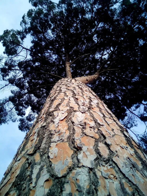
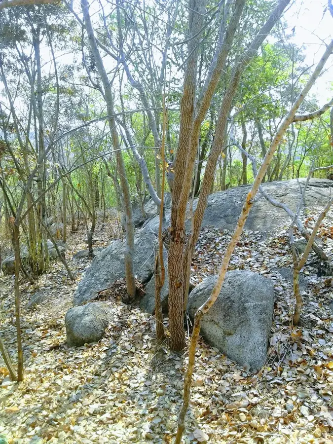
Nature

More places