Plizio Visual Lab
Rumija Mountain Forest

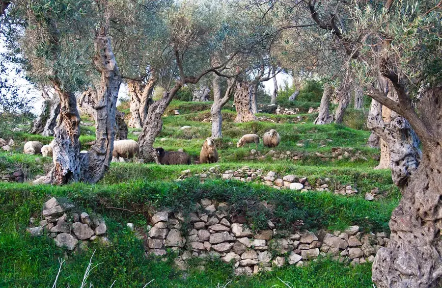
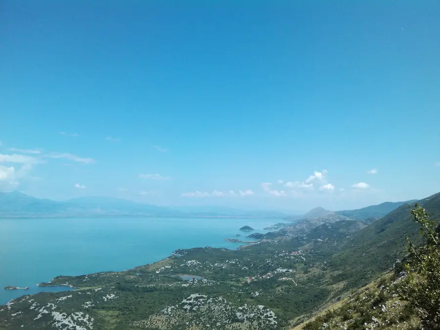
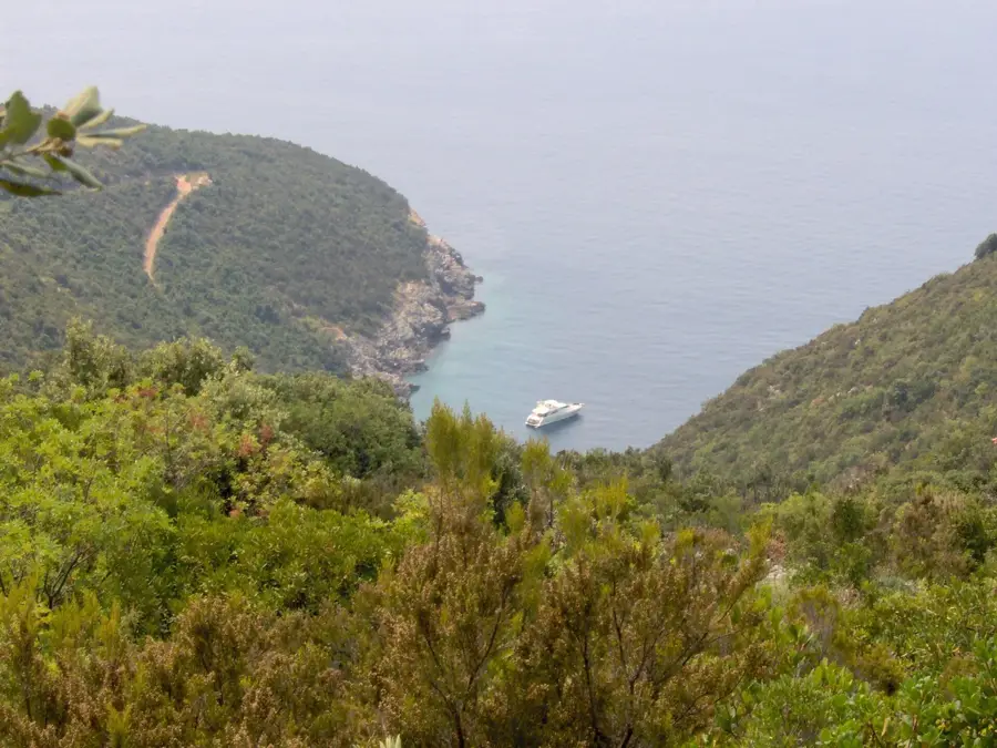
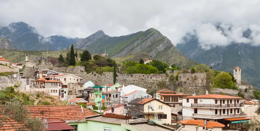
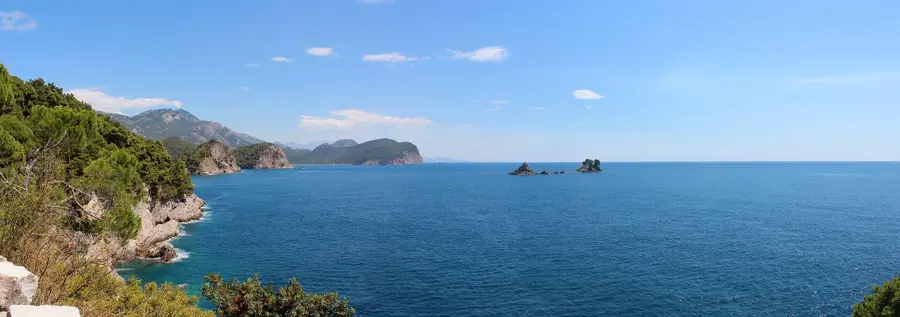
The Rumija Mountain Forest covers the slopes of the imposing Rumija massif, which acts as a natural divide between the Adriatic coast near Bar and the Lake Skadar basin. This ecosystem is particularly significant as a climatic transition zone where Mediterranean coastal influences meet the cooler continental air of the interior. The lower reaches are characterized by Mediterranean macchia and ancient olive groves, while the higher elevations are dominated by dense stands of beech and oak. The flora of Rumija includes several endemic species that have adapted to the rugged karst terrain and high levels of precipitation. Culturally, the mountain holds deep spiritual value; every Pentecost, the Cross of St. Vladimir is carried in a solemn procession to the 1594-meter summit, a tradition that unites local communities across different faiths. The forest provides a habitat for wolves, wild boars, and a diverse array of birds of prey. These dense woodlands are also crucial for the regional water cycle, absorbing heavy rainfall and protecting the steep limestone slopes from erosion.
- Location: Montenegro
- Top sights: Veliki Pijesak · Plaža David VIP · Mali pijesak
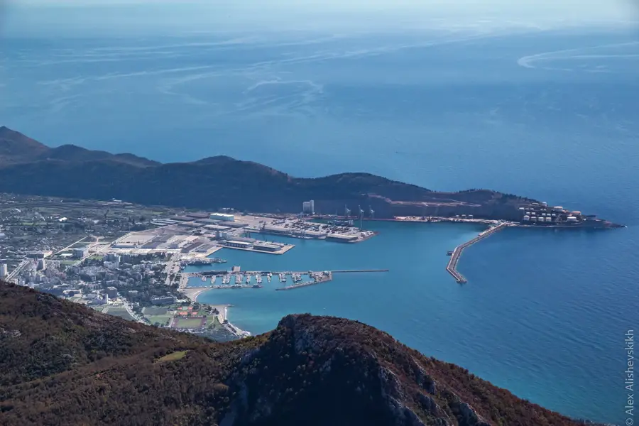
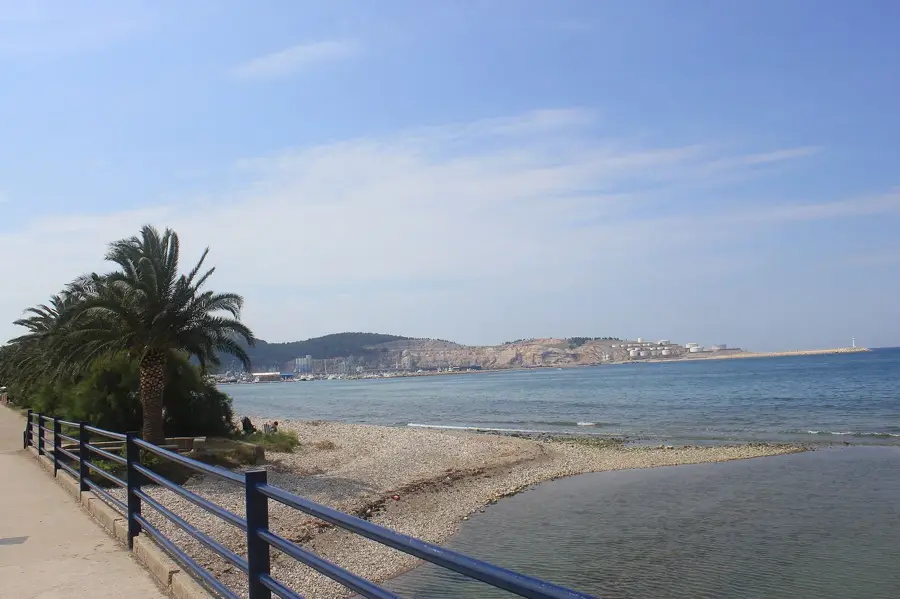
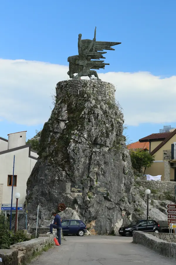
- Nearby: Bar (5 km)
Best time to visit & climate
The most pleasant time to visit is May–Jul.
| Jan | Feb | Mar | Apr | May | Jun | Jul | Aug | Sep | Oct | Nov | Dec | |
|---|---|---|---|---|---|---|---|---|---|---|---|---|
| Avg °C | 10 | 10 | 12 | 15 | 19 | 23 | 26 | 26 | 23 | 19 | 15 | 12 |
| Rain mm | 147 | 141 | 129 | 95 | 76 | 56 | 31 | 37 | 109 | 131 | 176 | 169 |
📋 Practical info
Geography
Facts
- The highest peak of the Rumija range stands at 1,594 meters.
- Forms a natural climatic barrier between the sea and the lake.
- Home to ancient olive groves, some over 2,000 years old.
- Site of the historic St. Vladimir's Cross annual procession.
- Flora includes rare endemic Balkan species adapted to limestone.
- Vital sanctuary for wolves, wild boars, and various raptors.
Explore nearby
Notable places around
Route planner — Car & Motorhome
Where do you start? We build the route here, with stops and country notes along the way.
© OpenStreetMap contributors · OpenRouteService
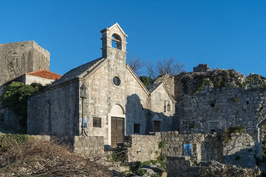
Sights in the town Rumija Mountain Forest (3)
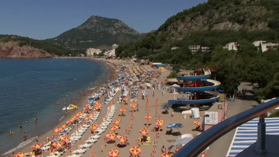
Plaža David VIP🎡 recreation
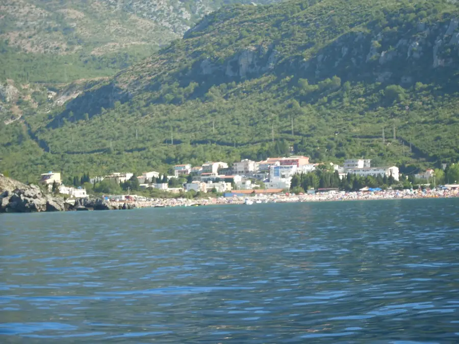
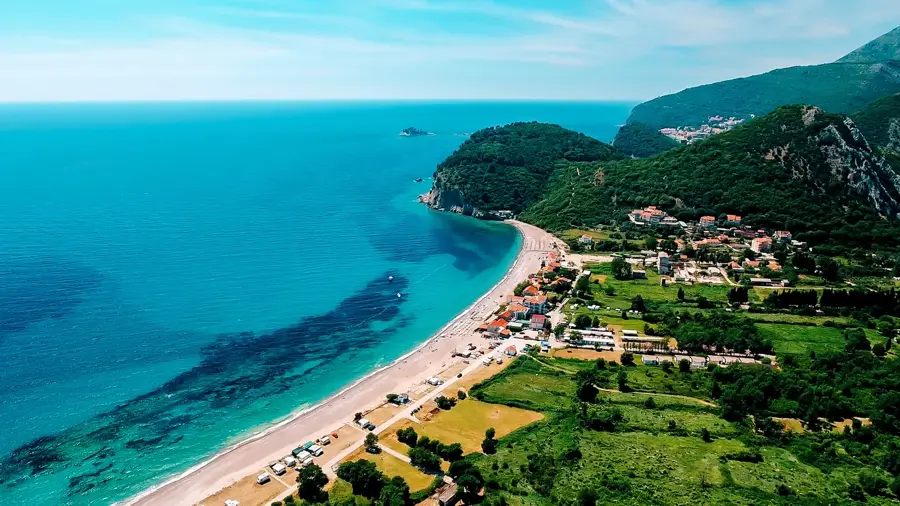
Positioned near the lush Rumija Mountain Forest, Plaža David VIP has an exclusive coastal vibe in Montenegro. The contrast between the deep green woods and the clear waters creates a serene environment for relaxation. Guests can anticipate peaceful swimming sessions and quiet lounging away from large crowds. Planning a visit on a quiet weekday ensures maximum tranquility.
Sights nearby
Frequently asked questions
Where is the Rumija mountain forest located?
Which tree species grow there?
Is the forest marked for hiking?
Which animals live in the Rumija forest?
Are there any cultural highlights?
Rumija Mountain Forest: where is it located?
Rumija Mountain Forest: what is there to see?
Rumija Mountain Forest: when is the best time to visit?
Rumija Mountain Forest: why is it worth visiting?

Nearby cities


History & landmarks

Nature
More places