Plizio Visual Lab
Ungheni Hills
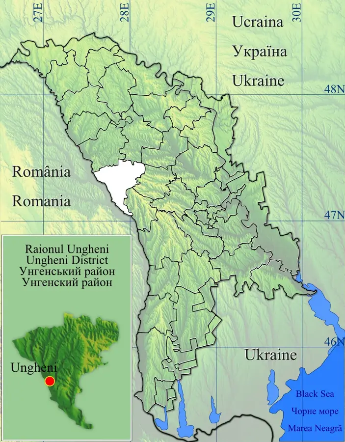
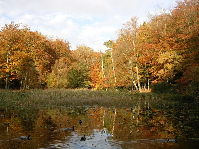
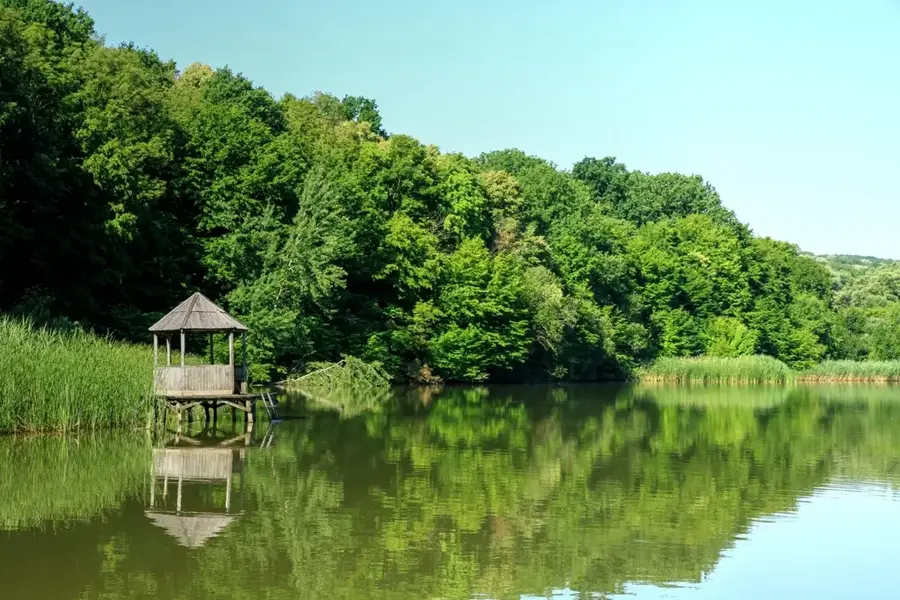
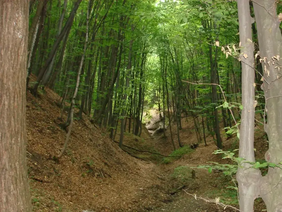
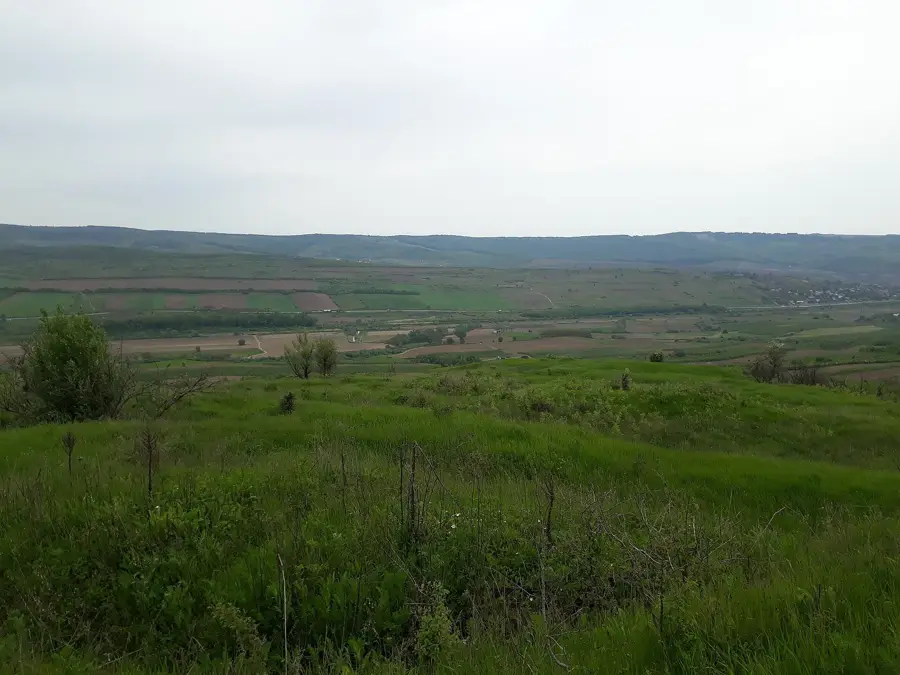
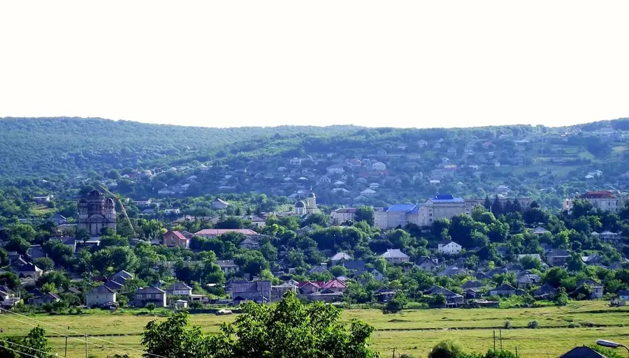
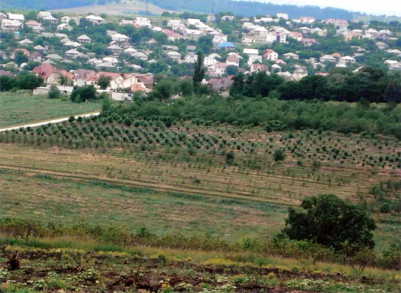
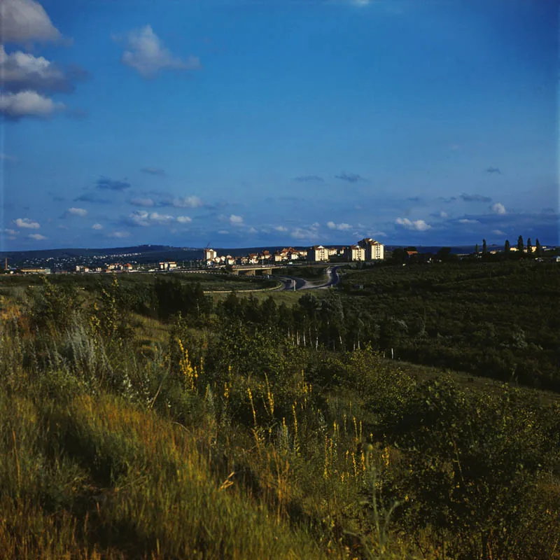
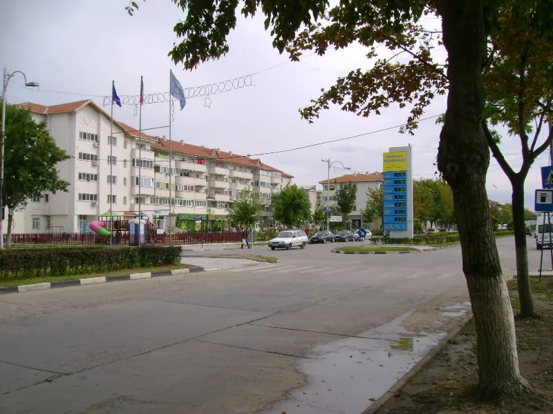
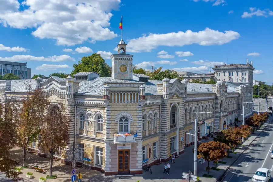
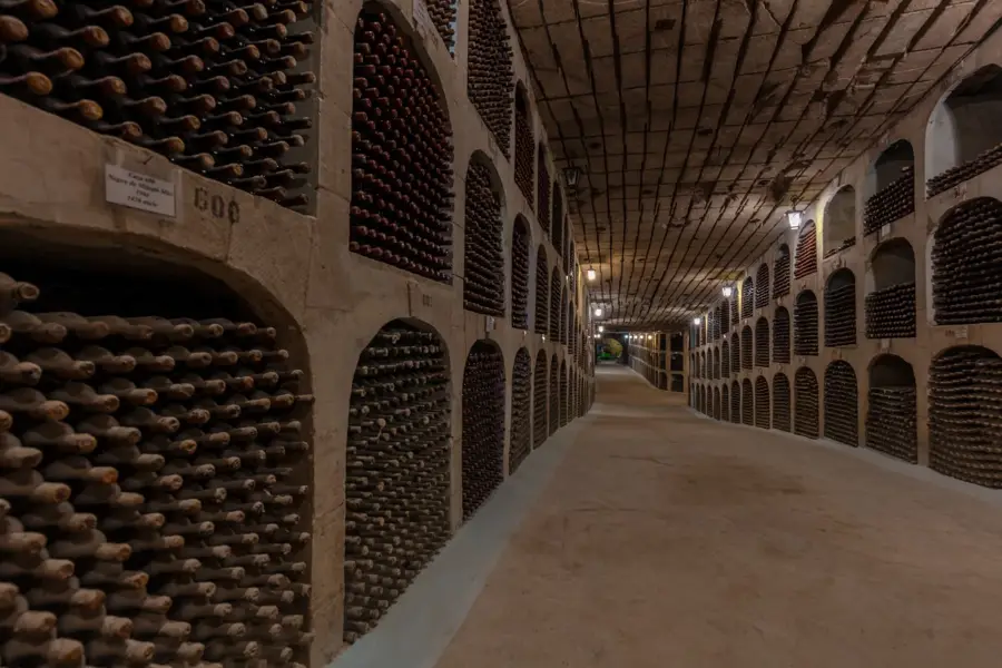
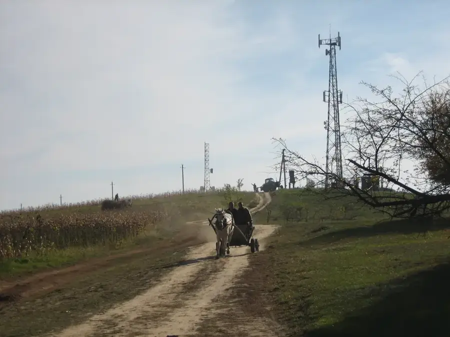
The Ungheni Hills extend along the middle course of the Prut River in western Moldova, forming an essential part of the Central Moldavian Plateau. The relief is characterized by asymmetric ridges known as cuestas, featuring steep western slopes dropping toward the Prut valley and gentler slopes fading eastward. This geomorphological structure is the result of complex tectonic uplifts and the erosive power exerted by the Prut's tributaries over time. The soils in this region are highly fertile, supporting intensive agriculture with a primary focus on orchards and vineyards. Geologically, the hills contain significant deposits of clay and sand, which have historically supported local brick and ceramic production. The climate of the Ungheni Hills is moderate continental, which, combined with the rolling topography, provides a suitable habitat for various rare steppe plant species. Historically, its location along the Prut border has made it a strategic area, as evidenced by the infrastructure and architectural history of the nearby city of Ungheni.
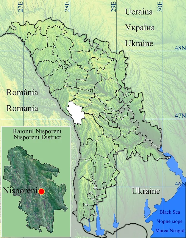
- Location: Moldova
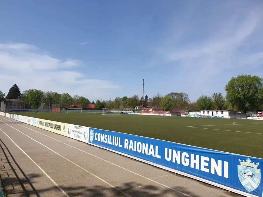
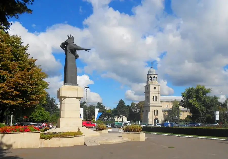
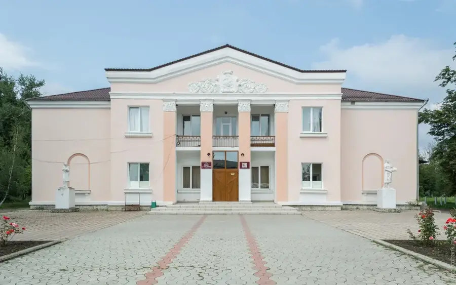
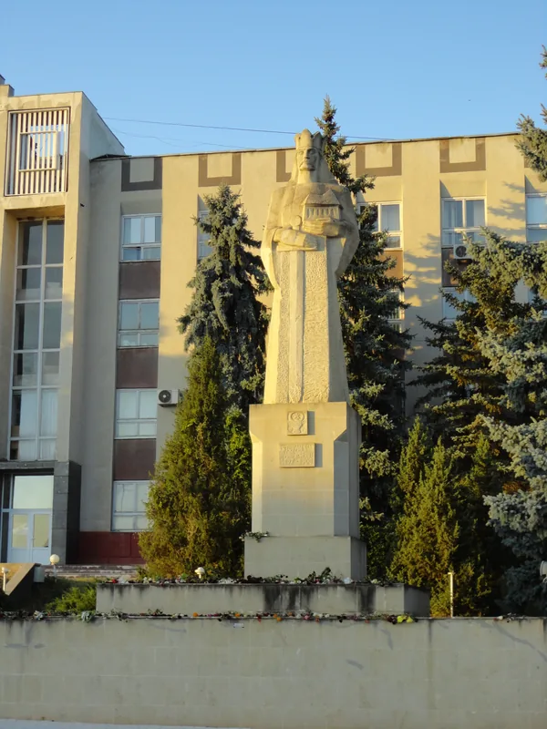
- Top sights: Bazinele ,,Delfi" · Bustul lui Grigore Vieru · Teatrul de Vara din Parcul ,,Micul Cluj"
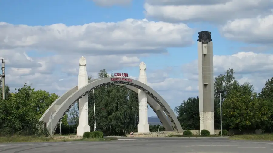
- Nearby: Cornești (22 km)
Best time to visit & climate
The most pleasant time to visit is Jun, Aug, Sep.
| Jan | Feb | Mar | Apr | May | Jun | Jul | Aug | Sep | Oct | Nov | Dec | |
|---|---|---|---|---|---|---|---|---|---|---|---|---|
| Avg °C | -4 | -2 | 4 | 10 | 17 | 21 | 23 | 23 | 17 | 10 | 4 | -2 |
| Rain mm | 36 | 32 | 37 | 46 | 57 | 76 | 69 | 41 | 37 | 48 | 38 | 38 |
📋 Practical info
Geography
Facts
- The hills form the natural boundary of the Prut River valley.
- The landscape features prominent cuesta formations and ridges.
- The nearby city of Ungheni was founded in the year 1462.
- Geologically, the area is rich in Tertiary clay and sand deposits.
- The iconic Eiffel Bridge across the Prut was completed here in 1877.
- This region is one of the most productive fruit-growing areas in Moldova.
Explore nearby
Notable places around
Route planner — Car & Motorhome
Where do you start? We build the route here, with stops and country notes along the way.
© OpenStreetMap contributors · OpenRouteService
Sights in the town Ungheni Hills (10)
Bustul lui Mihai Eminescu
Bust of Romanian national poet Mihai Eminescu in Ungheni.
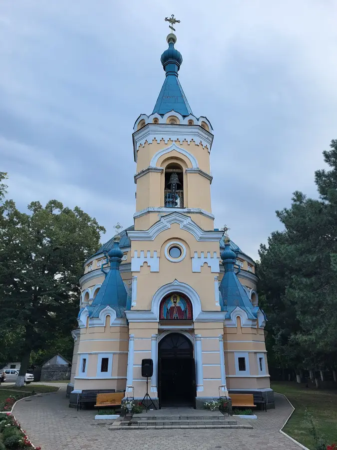
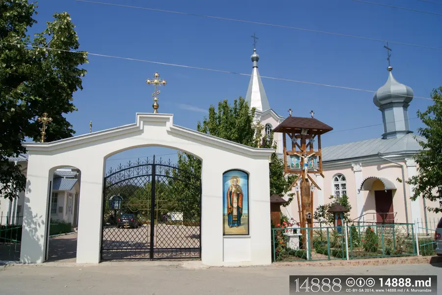
Catedrala Aleksandr Nevskii
Historical and architectural monument of national importance in Moldova.
Delia Beach
Beach in Ungheni, located on the banks of the Prut River.
Muzeul de Istorie și Etnografie Ungheni🏛 museum
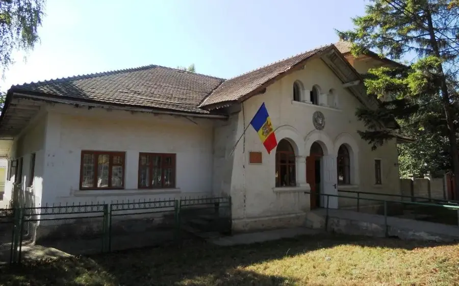
Museum of history and ethnography of the Ungheni region.
Școala de Arte Plastice Ungheni
Fine arts school in Ungheni, offering drawing and painting classes.
Podul Eiffel
Historical monument of national importance in Moldova and Romania.
Sights nearby
Frequently asked questions
Where is the highest point located?
Is the area suitable for hiking?
What is the best time to visit?
Are there parking spots nearby?
What should you bring with you?
Ungheni Hills: where is it located?
Ungheni Hills: what is there to see?
Ungheni Hills: when is the best time to visit?
Ungheni Hills: why is it worth visiting?

Nearby cities
History & landmarks
Nature

More places