Plizio Visual Lab
Dniester Plateau

Weather…
Water temperature…
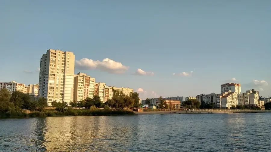
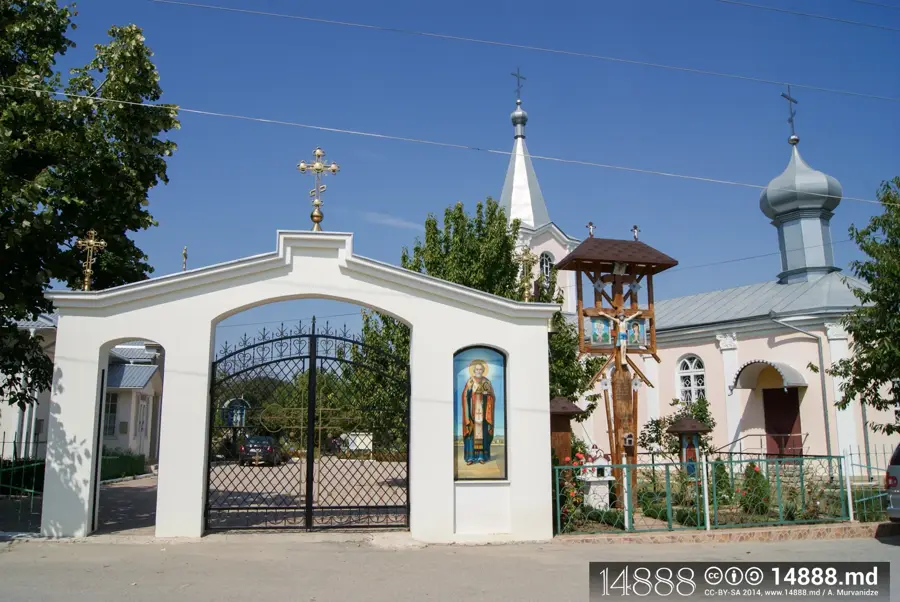
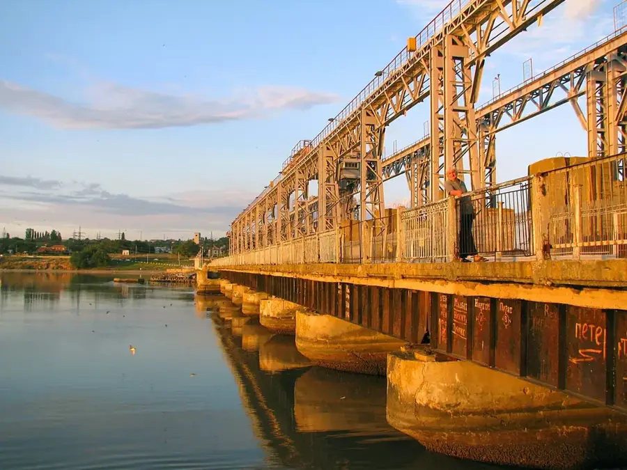
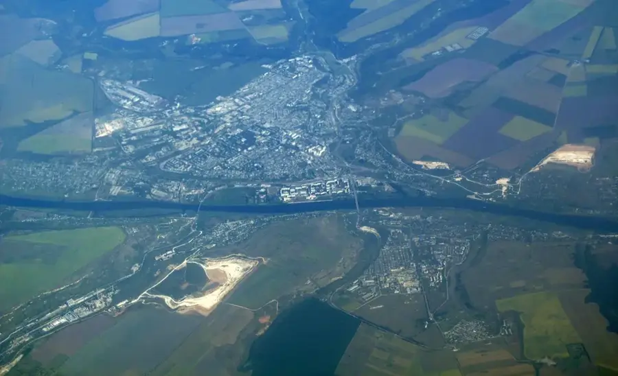
The Dniester Plateau stretches along the right bank of the Dniester River in northern and eastern Moldova, representing a distinct geomorphological unit. With an average elevation of 250 to 300 meters, the plateau drops steeply toward the Dniester valley, forming dramatic terraces and limestone cliffs. The relief is fragmented by numerous gorges and narrow valleys carved by tributaries of the Dniester. Geologically, layers of Sarmatian limestone and sandstone dominate, often containing fossils of ancient marine organisms. Historically, this region has been a center of settlement and agriculture due to its strategic location and fertile plateau soils. The slopes of the plateau are now extensively covered with orchards and vineyards, which benefit from the favorable microclimatic conditions of the river valley. Significant archaeological sites are also found within the cliffs, including cave monasteries that bear witness to the region's Christian history.
- Location: Moldova
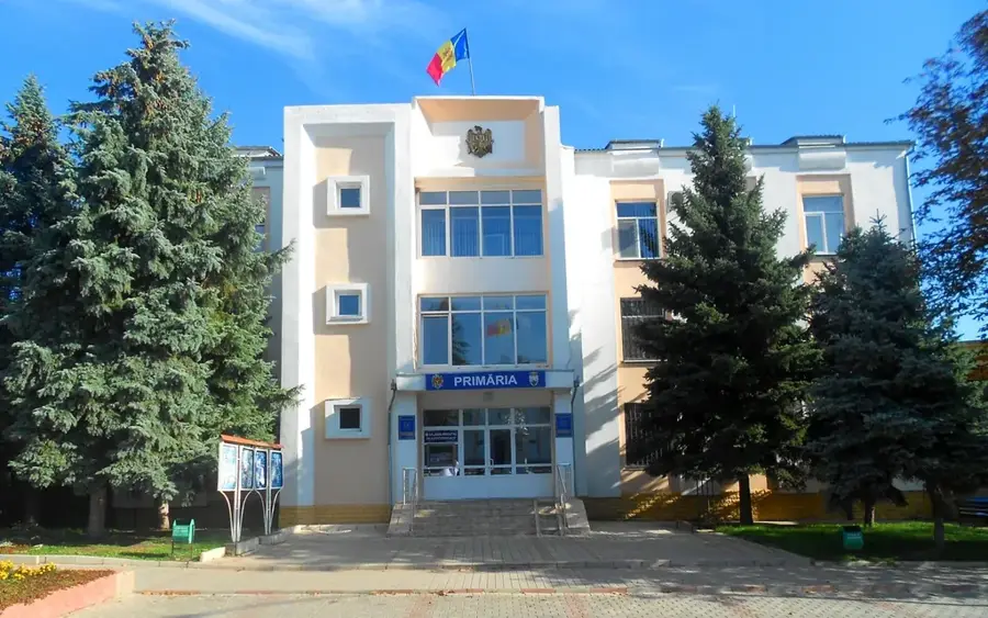
- Nearby: Ghindești (11 km)
Best time to visit & climate
The most pleasant time to visit is Jun–Aug.
| Jan | Feb | Mar | Apr | May | Jun | Jul | Aug | Sep | Oct | Nov | Dec | |
|---|---|---|---|---|---|---|---|---|---|---|---|---|
| Avg °C | -5 | -3 | 3 | 10 | 16 | 20 | 23 | 22 | 17 | 9 | 3 | -2 |
| Rain mm | 39 | 35 | 38 | 43 | 55 | 71 | 63 | 38 | 45 | 44 | 40 | 38 |
📋 Practical info
Geography
Facts
- The plateau reaches its highest elevation in the northwestern part of the country.
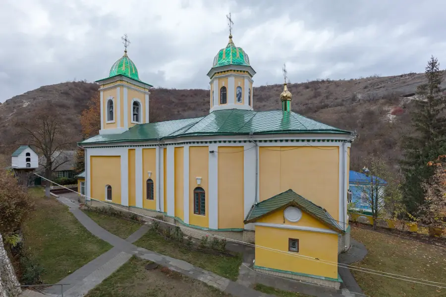
- The famous cave monasteries of Țipova are located within the limestone cliffs.
- The fertile chernozem soils are excellent for viticulture.
- Geologically, the area is known for its karst phenomena.
- The Dniester River has formed up to six terraces in some locations here.
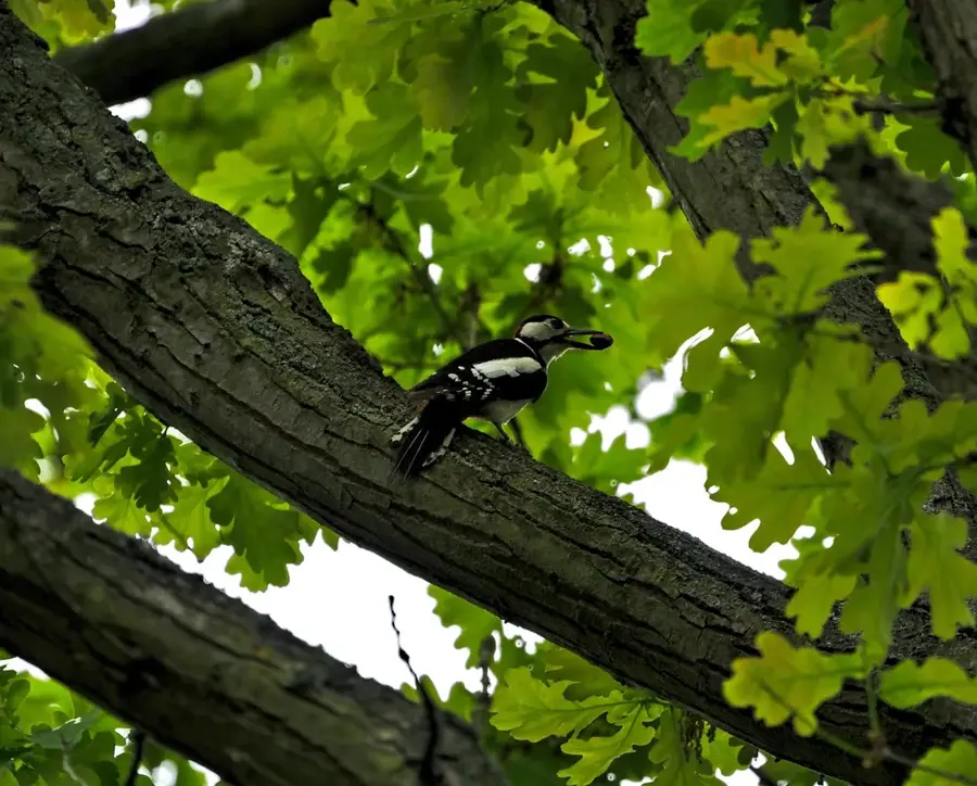
- Rare birds of prey, such as the common kestrel, nest on the steep slopes.
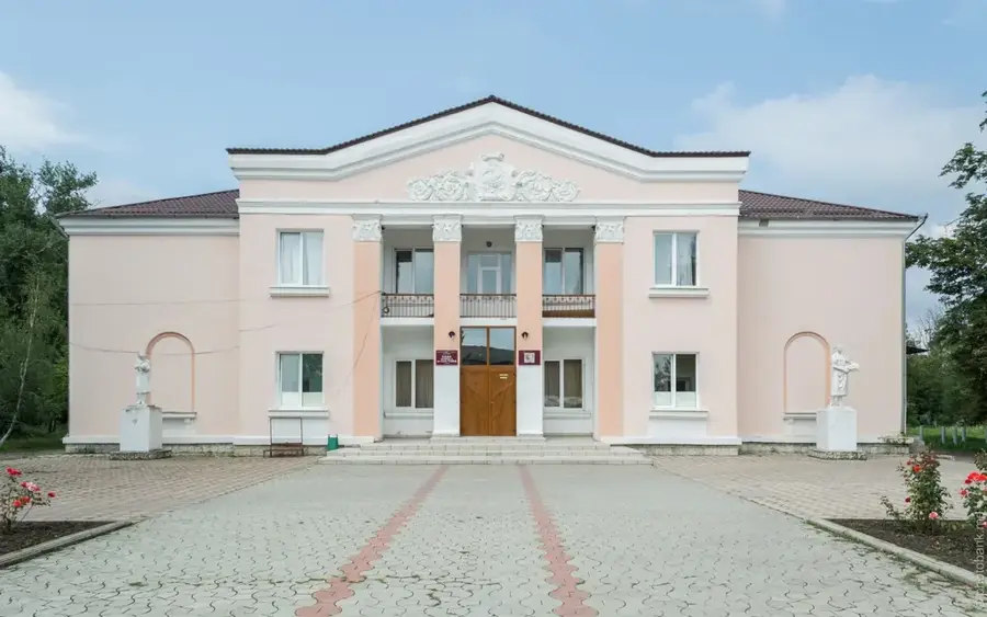
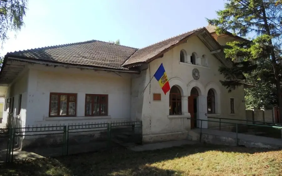
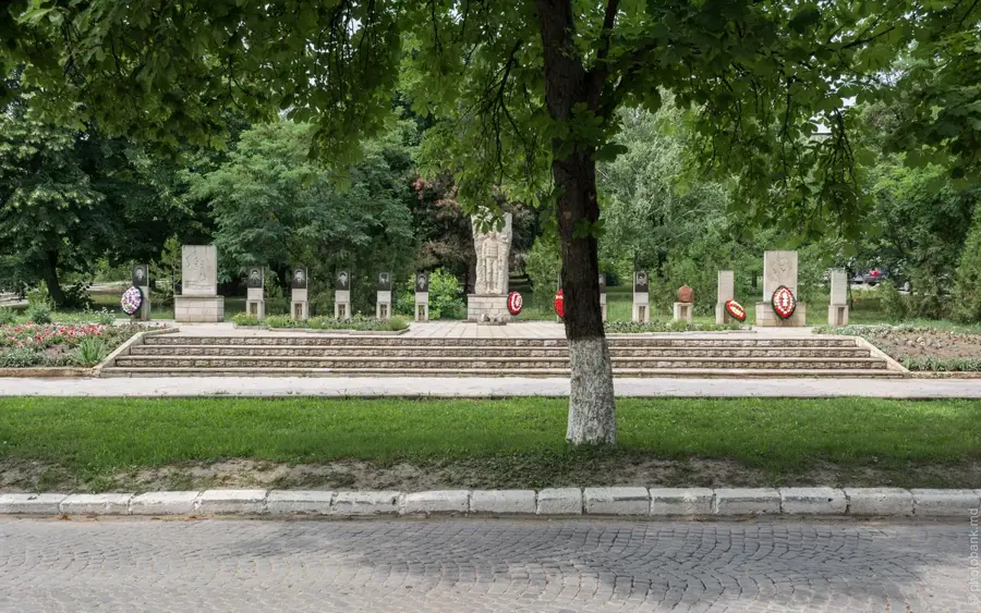
Explore nearby
Notable places around
Route planner — Car & Motorhome
Where do you start? We build the route here, with stops and country notes along the way.
© OpenStreetMap contributors · OpenRouteService
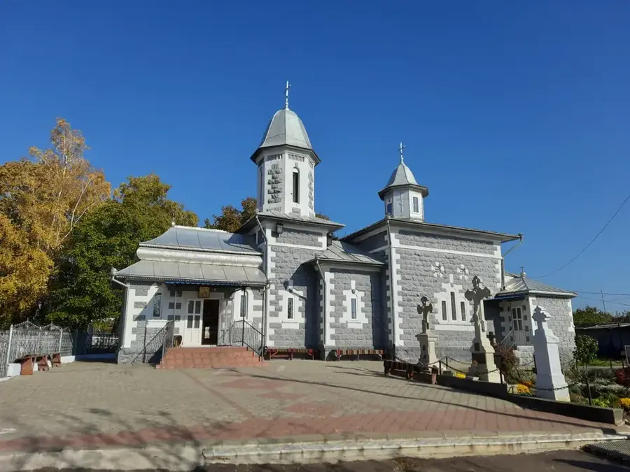
Sights in the town Dniester Plateau (1)
Sights nearby
Frequently asked questions
What is the Dniester Plateau?
What landform dominates the plateau?
What is the region known for?
What is the average height of the plateau?
Is agriculture practiced there?
Dniester Plateau: where is it located?
Dniester Plateau: when is the best time to visit?
Dniester Plateau: why is it worth visiting?

Nearby cities
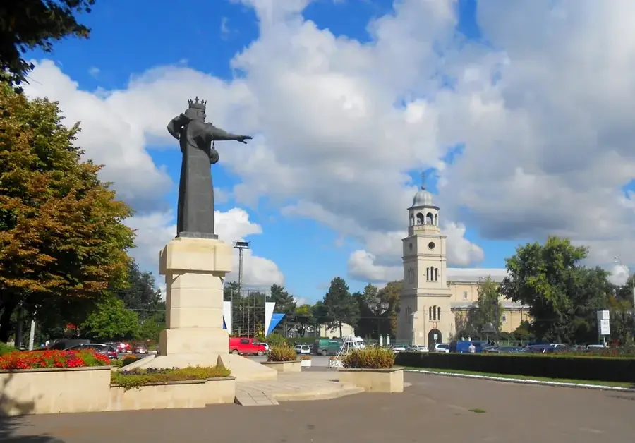
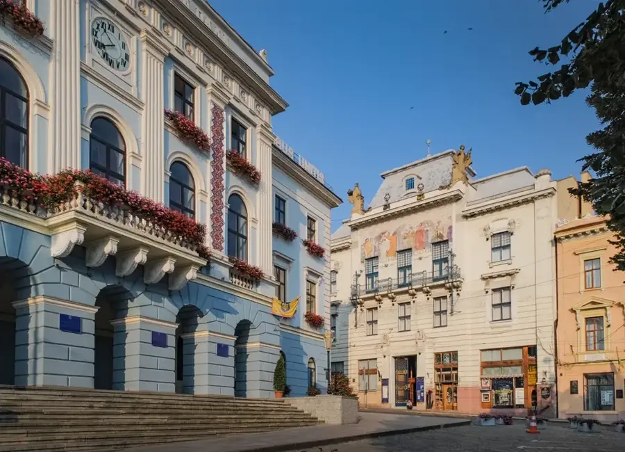
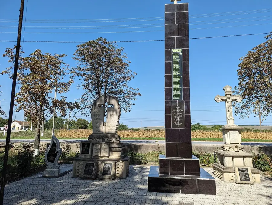
History & landmarks
Nature
More places