Plizio Visual Lab
Ciuluc-Soloneț Hills

Weather…
Water temperature…
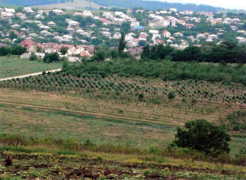
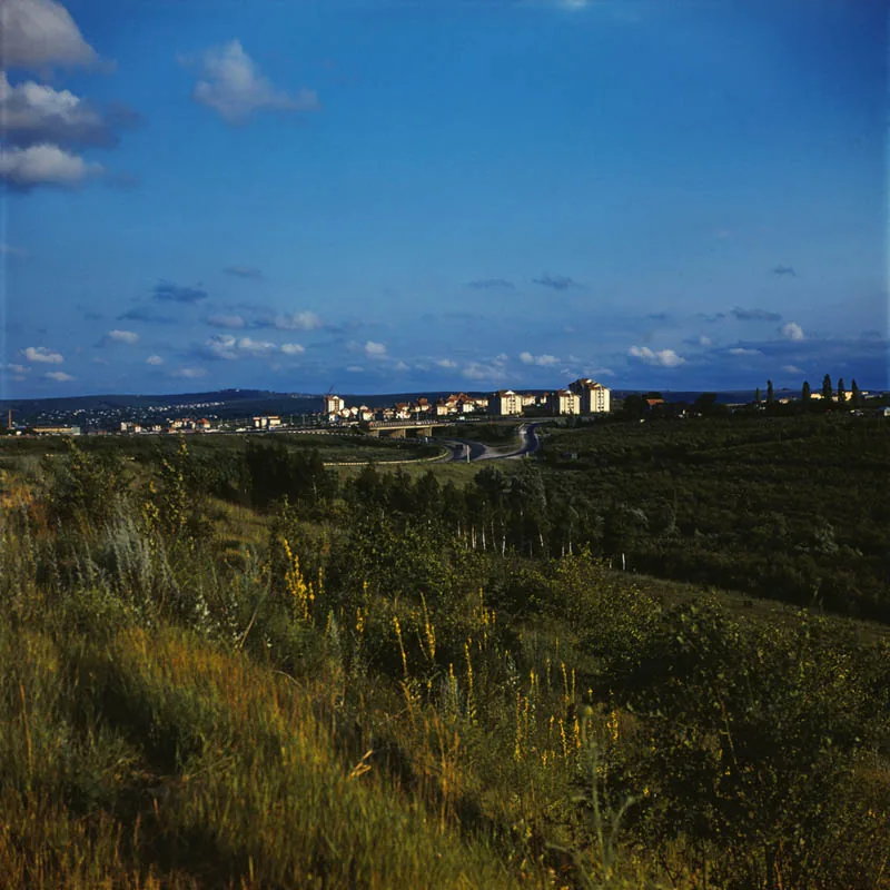
The Ciuluc-Soloneț Hills are a significant hilly region in north-central Moldova, part of the Moldavian Plateau. This area is characterized by a highly dissected relief, shaped by the erosive actions of the Ciulucul Mare, Ciulucul Mic, and Soloneț rivers. The average elevation of these hills fluctuates between 200 and 250 meters, with some peaks reaching nearly 300 meters. Geologically, the region consists of a thick layer of sedimentary rocks, primarily Neogene clays and sands, often covered by loess deposits. The landscape is marked by deep valleys, narrow ridges, and numerous slopes carved by erosion. Due to the soil composition, the area is prone to landslides, which influences land use and agricultural patterns. Historically, the region has been known for its pastures and traditional livestock farming, which adapted to the challenging hilly topography.
- Location: Moldova
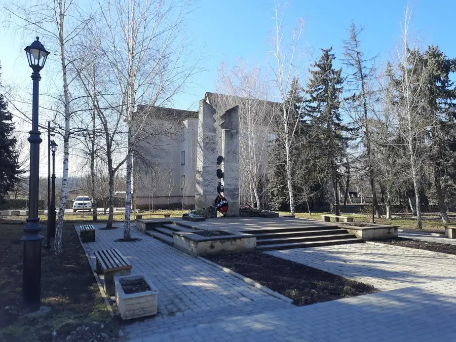
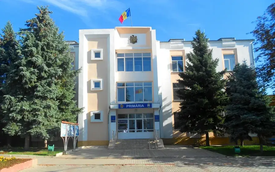
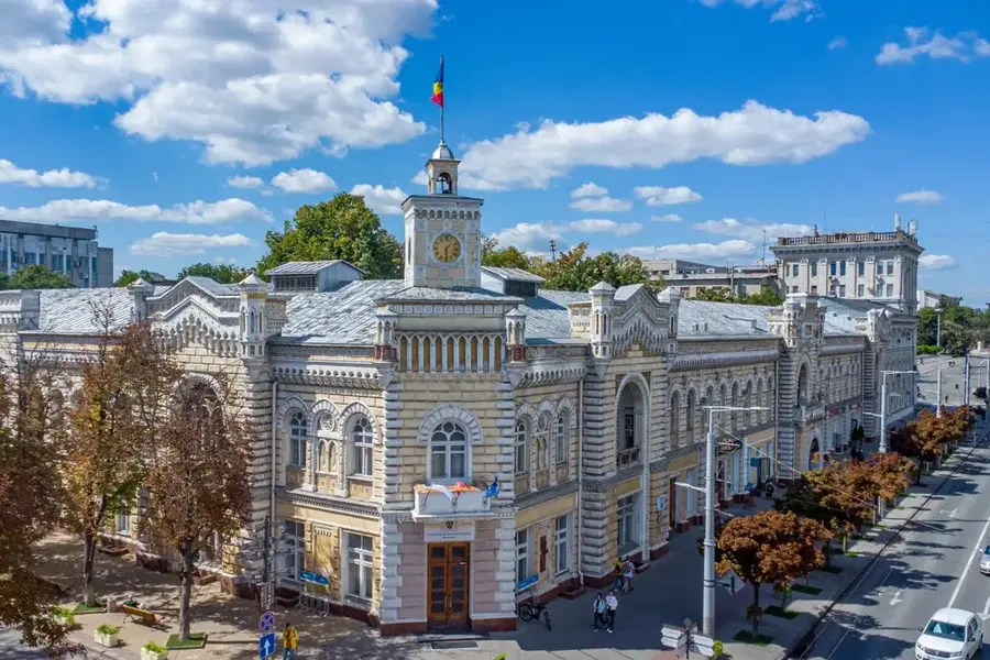
- Nearby: Telenești (11 km)
Best time to visit & climate
The most pleasant time to visit is Jun–Aug.
| Jan | Feb | Mar | Apr | May | Jun | Jul | Aug | Sep | Oct | Nov | Dec | |
|---|---|---|---|---|---|---|---|---|---|---|---|---|
| Avg °C | -4 | -2 | 4 | 10 | 17 | 21 | 23 | 23 | 17 | 10 | 4 | -2 |
| Rain mm | 40 | 33 | 37 | 38 | 53 | 69 | 60 | 37 | 41 | 44 | 40 | 38 |
📋 Practical info
Geography
Facts
- The highest point in the Ciuluc-Soloneț Hills reaches approximately 297 meters.
- The relief is dissected by the Ciulucul Mare, Mic, and Soloneț river systems.
- Geological layers contain Neogene clay deposits used for traditional ceramics.
- Loess deposits in the region date back to the Pleistocene epoch.
- The area is characterized by a high density of ravines and gully formations.
- Agriculture is specialized in drought-resistant crops due to the local climate.
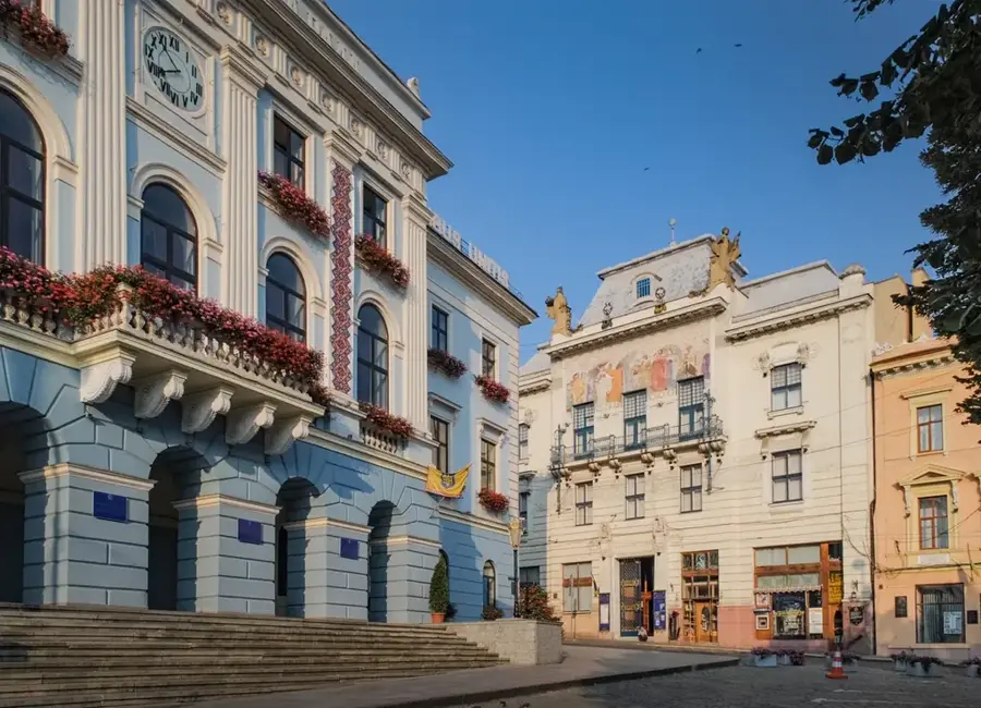
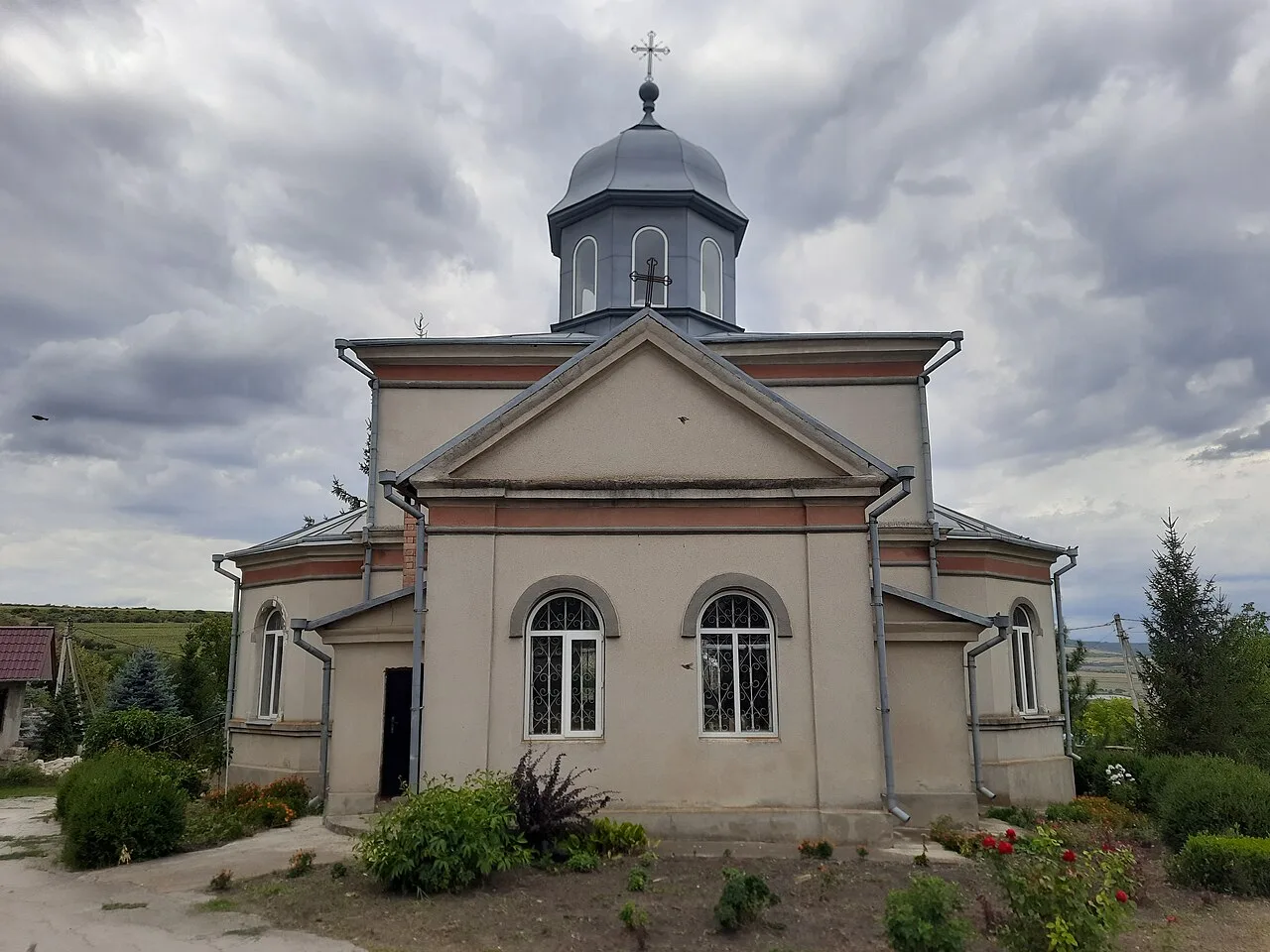
Explore nearby
Notable places around
Route planner — Car & Motorhome
Where do you start? We build the route here, with stops and country notes along the way.
© OpenStreetMap contributors · OpenRouteService
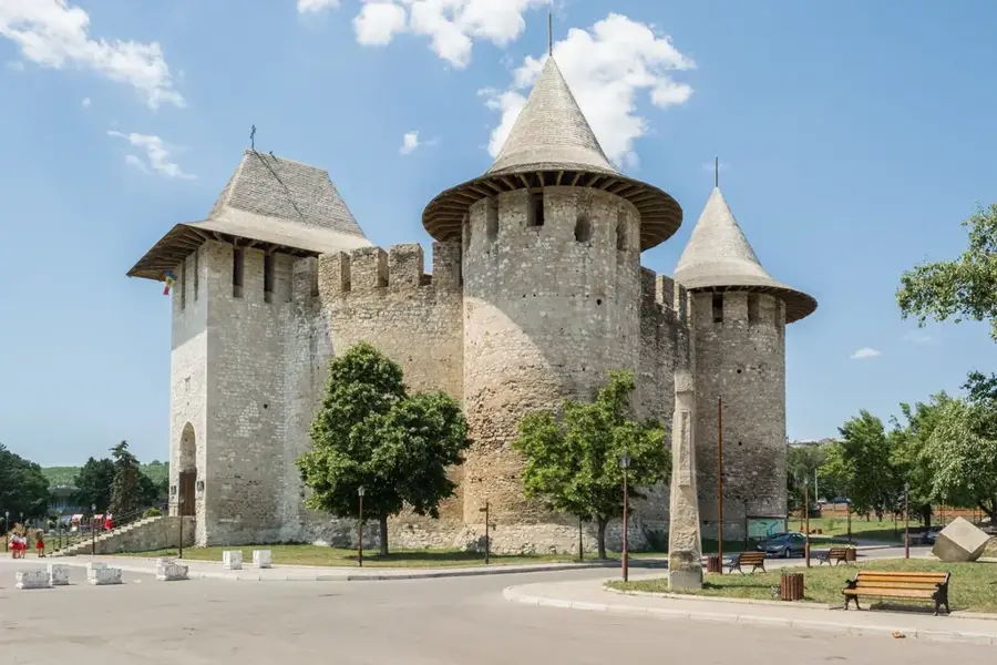
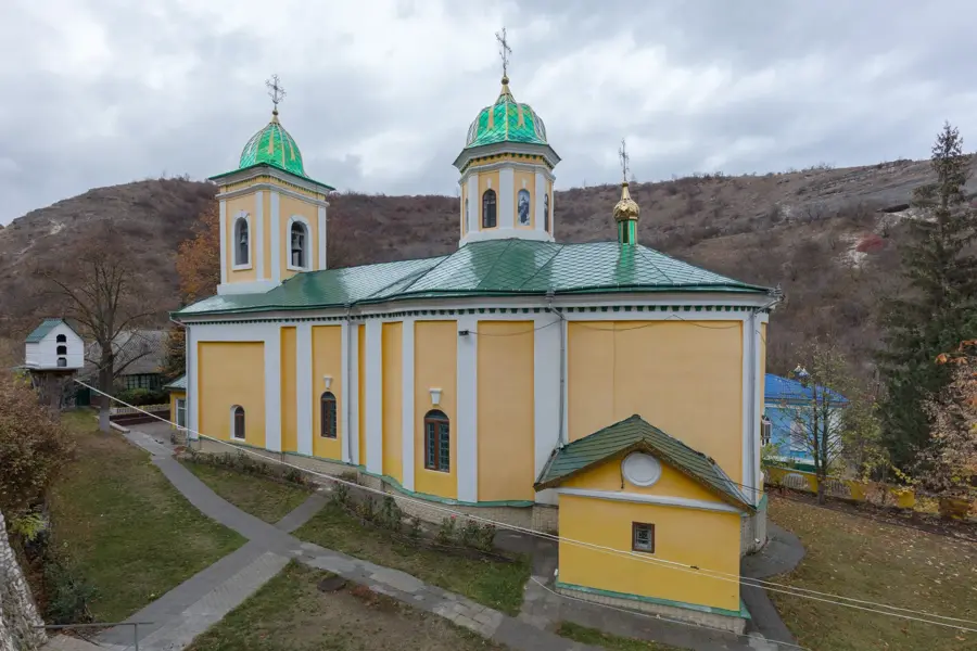
Sights nearby
Frequently asked questions
Where are the Ciuluc Hills located?
What characterizes the relief?
What is the region known for?
Can you go hiking there?
Are there any large cities nearby?
Ciuluc-Soloneț Hills: where is it located?
Ciuluc-Soloneț Hills: when is the best time to visit?
Ciuluc-Soloneț Hills: why is it worth visiting?

Nearby cities
History & landmarks
More places