Plizio Visual Lab
Briceni Plateau
Weather…
Water temperature…
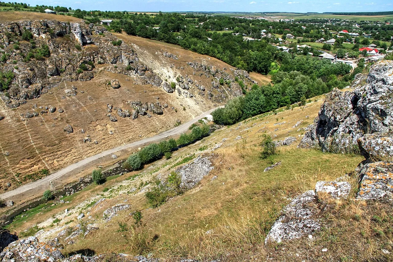
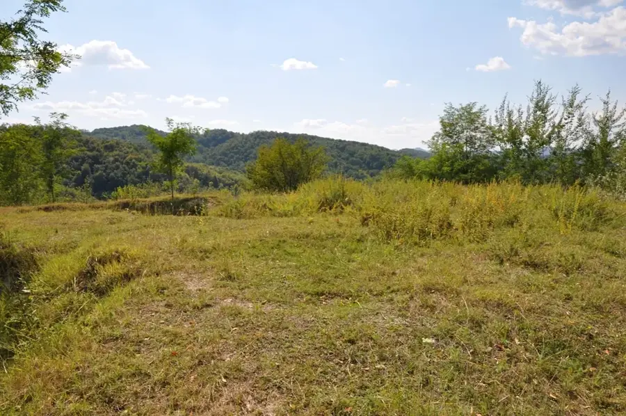
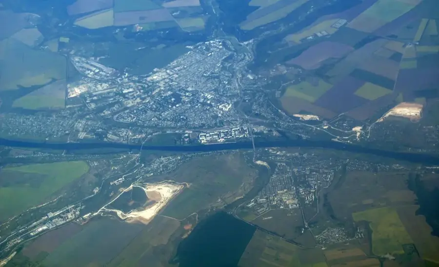
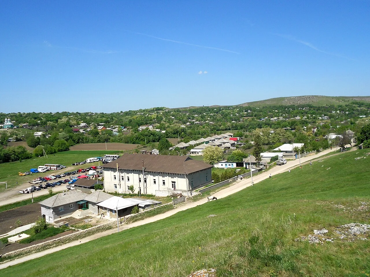
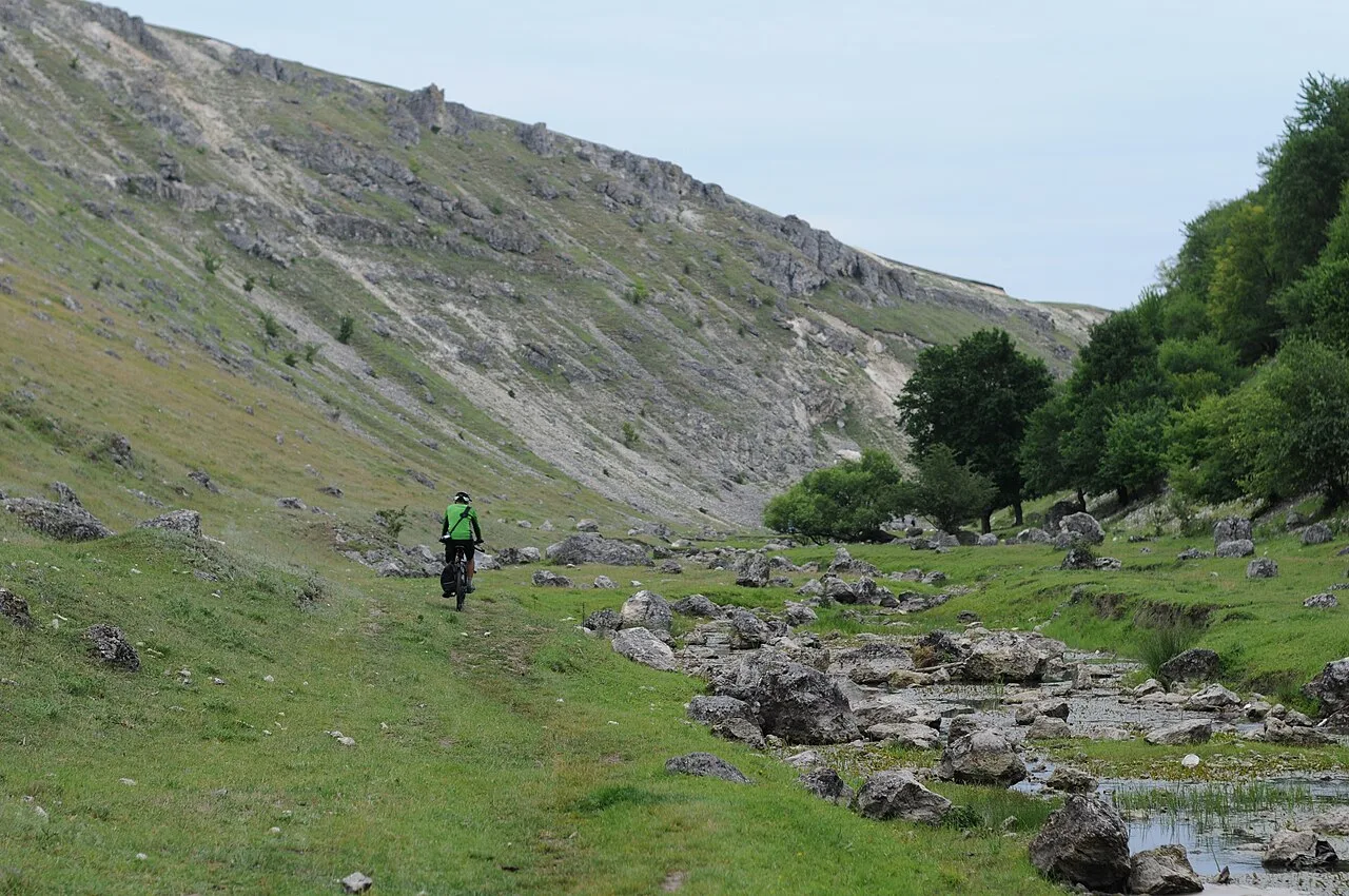
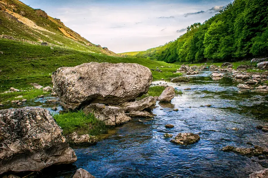
The Briceni Plateau extends across the far north of Moldova, forming the northernmost part of the Moldavian Plateau bordering Ukraine. Geomorphologically, it is characterized by a gently undulating surface covered by thick loess deposits, giving the region exceptional agricultural productivity. The plateau lies at an average elevation of 240 meters and is articulated by the valleys of smaller rivers such as the Vilia and Lopatnic. The climate here is more continental than in the rest of the country, with cooler winters favoring the cultivation of apples and other pome fruits for which the Briceni district is famous. Geologically, Neogene limestones and clays lie beneath the loess, occasionally outcropping on valley slopes. Historically, the plateau was an important transit point for trade routes between Galicia and the Black Sea. Natural vegetation consists mainly of forest-steppe elements, though original areas have been almost completely converted into farmland today.
- Location: Moldova
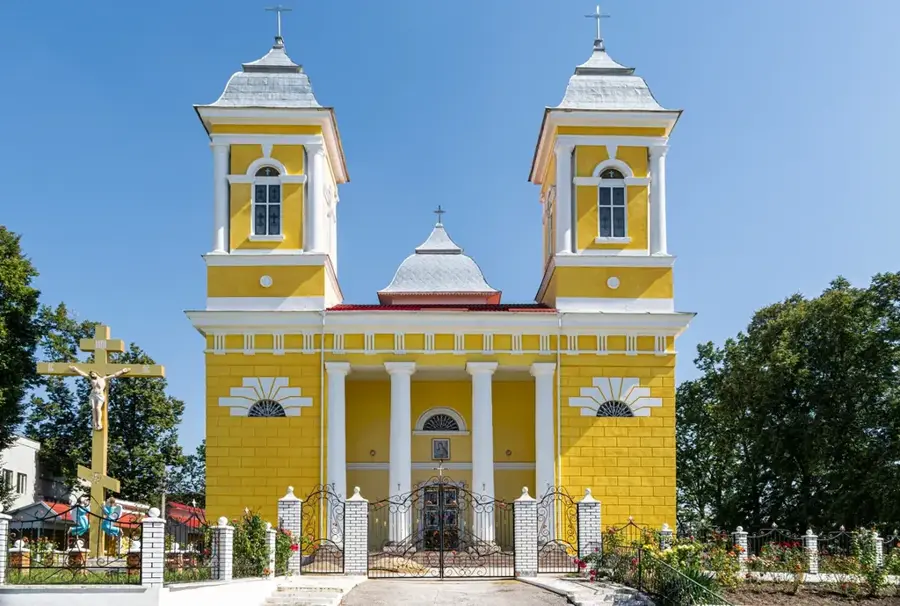
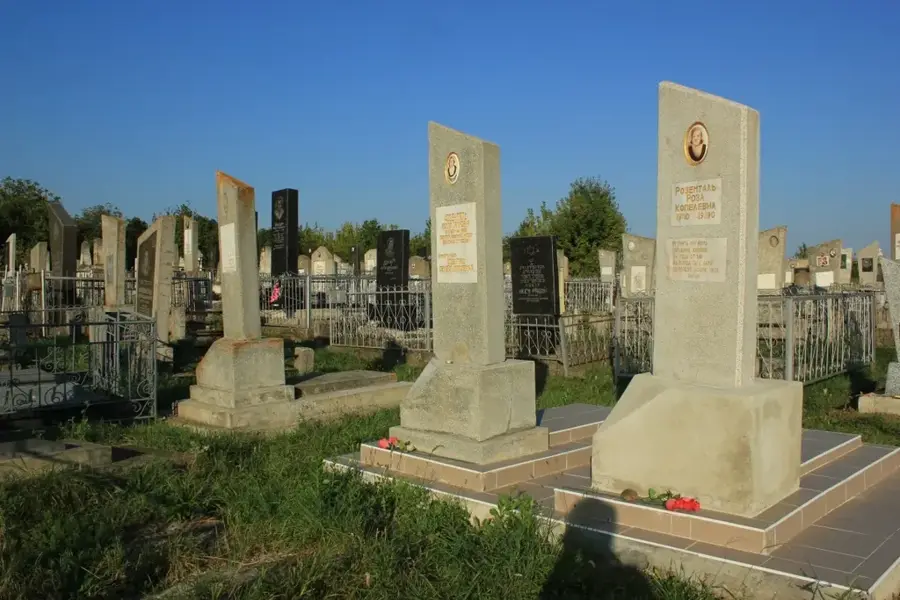
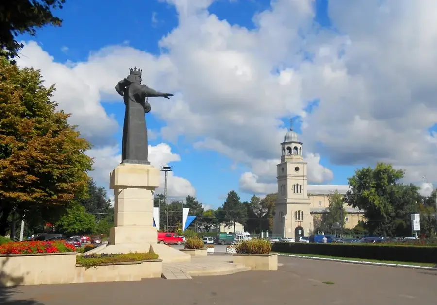
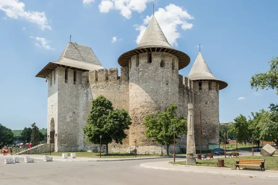
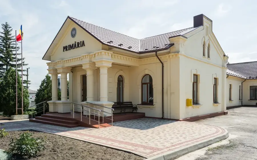
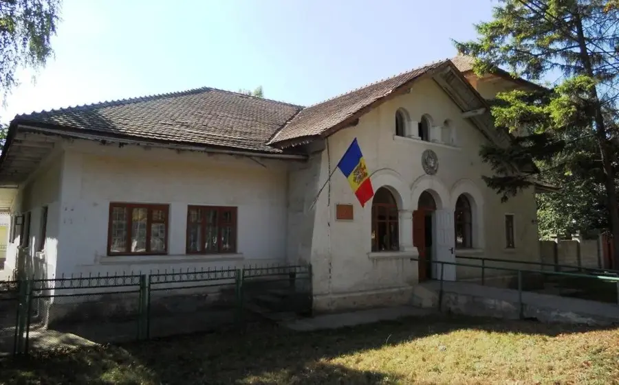
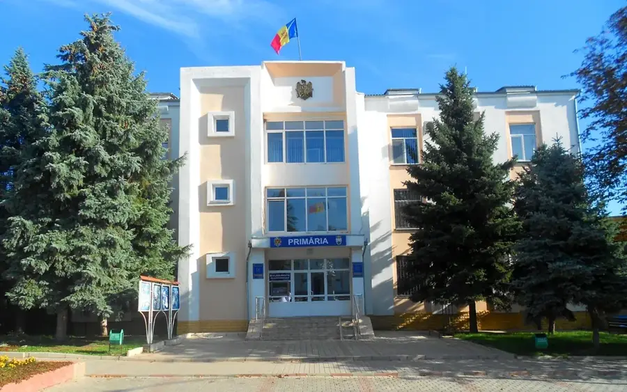
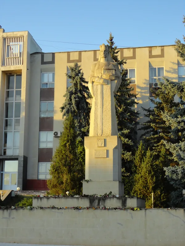
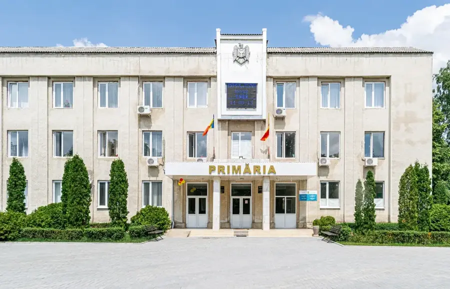
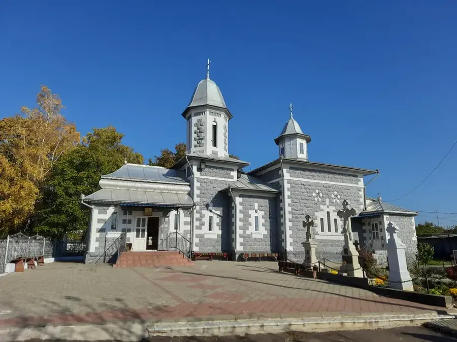
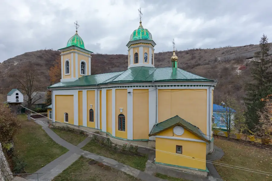
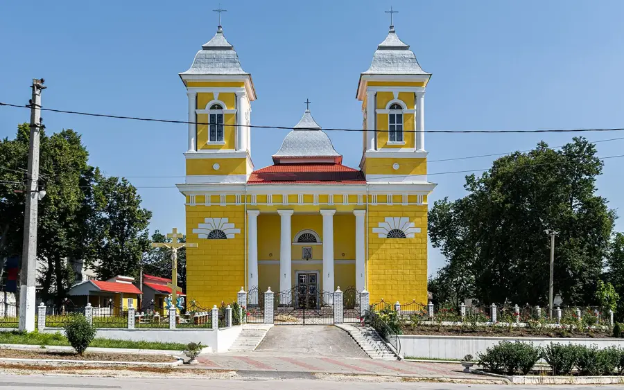
- Top sights: Tractor · Briceni Jewish Cemetery
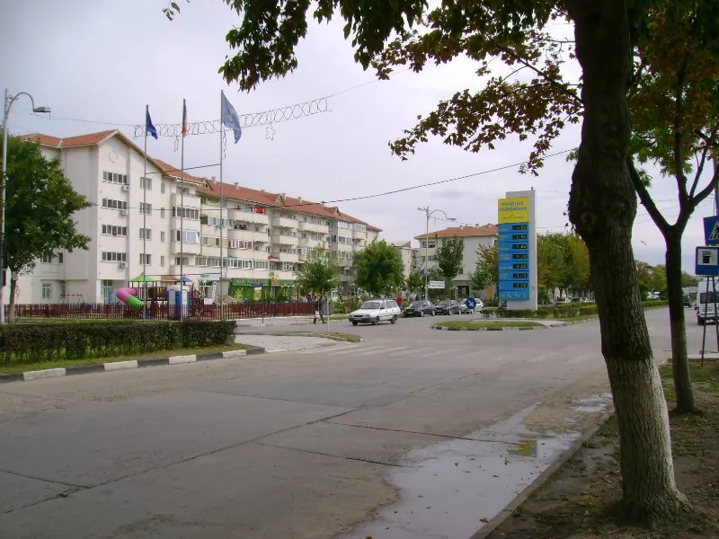
- Nearby: Lipcani (23 km)
Best time to visit & climate
The most pleasant time to visit is Jun–Aug.
| Jan | Feb | Mar | Apr | May | Jun | Jul | Aug | Sep | Oct | Nov | Dec | |
|---|---|---|---|---|---|---|---|---|---|---|---|---|
| Avg °C | -4 | -3 | 3 | 10 | 16 | 19 | 22 | 21 | 16 | 9 | 3 | -2 |
| Rain mm | 32 | 36 | 41 | 47 | 67 | 89 | 86 | 58 | 46 | 48 | 38 | 34 |
📋 Practical info
Geography
Facts
- Northernmost plateau in the Republic of Moldova.
- Thick loess layers determine the soil fertility.
- Average elevation of about 240 meters.
- Country's most important fruit-growing area (apples).
- Border location with Ukraine to the north and west.
- Flowed through by the Vilia and Lopatnic streams.
Explore nearby
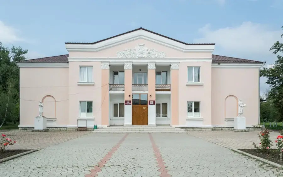
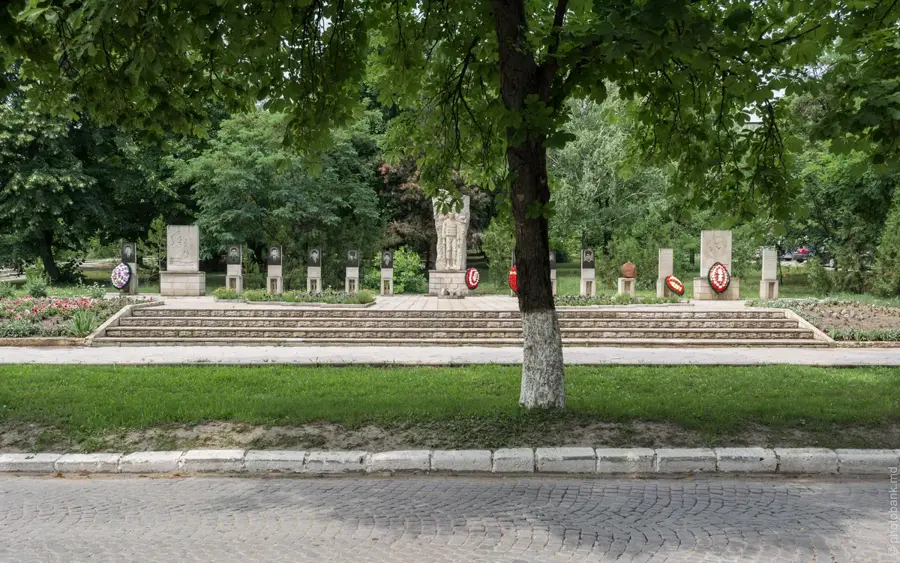
Notable places around
Route planner — Car & Motorhome
Where do you start? We build the route here, with stops and country notes along the way.
© OpenStreetMap contributors · OpenRouteService
Sights in the town Briceni Plateau (2)
Sights nearby
Frequently asked questions
Where is the Briceni plateau located?
What is special about the relief?
How is the weather there?
What is Briceni known for?
Are there natural monuments?
Briceni Plateau: where is it located?
Briceni Plateau: what is there to see?
Briceni Plateau: when is the best time to visit?
Briceni Plateau: why is it worth visiting?

Nearby cities
History & landmarks
Nature
More places