Plizio Visual Lab
Piton de la Petite Rivière Noire
Weather…
Water temperature…
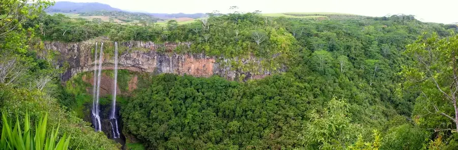
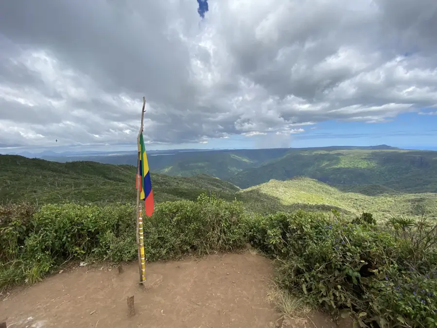
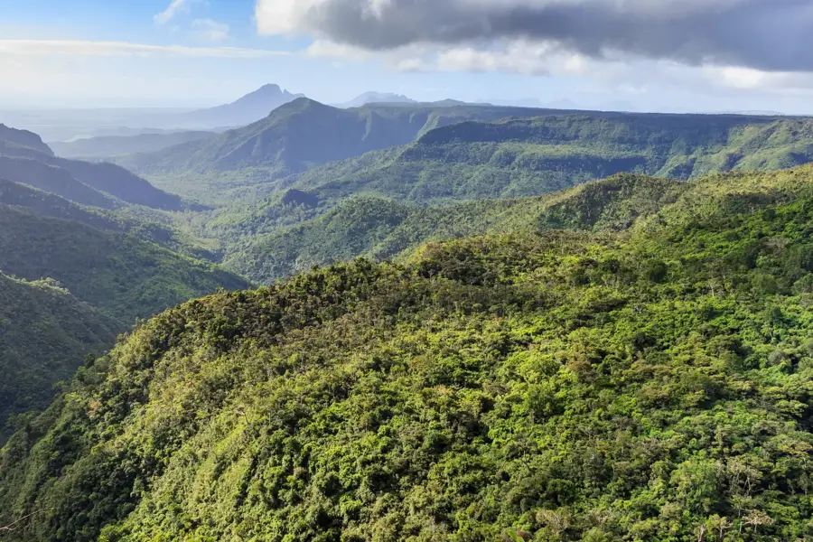
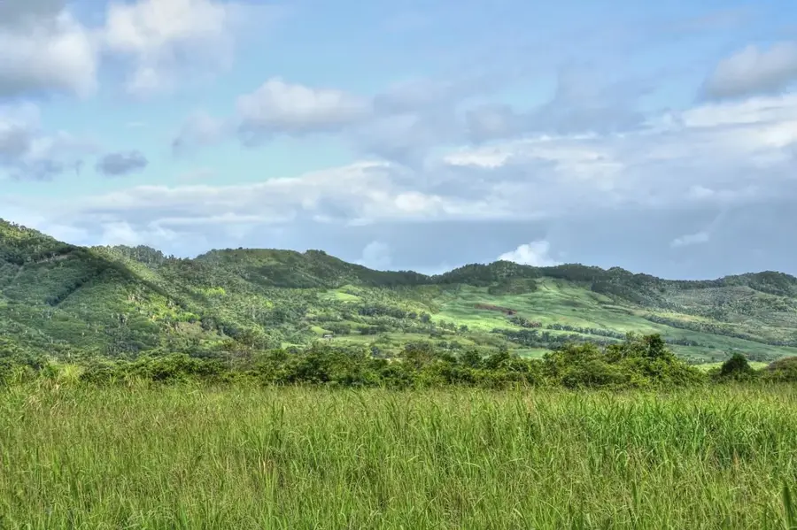
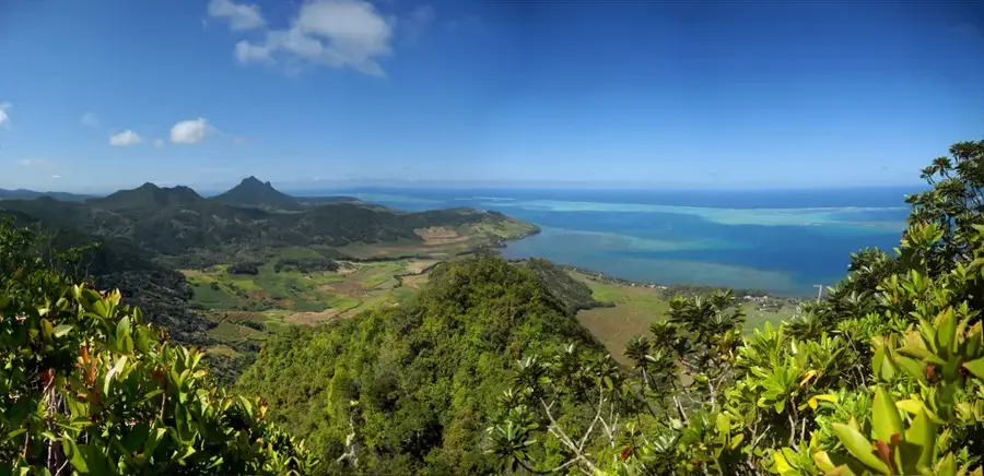
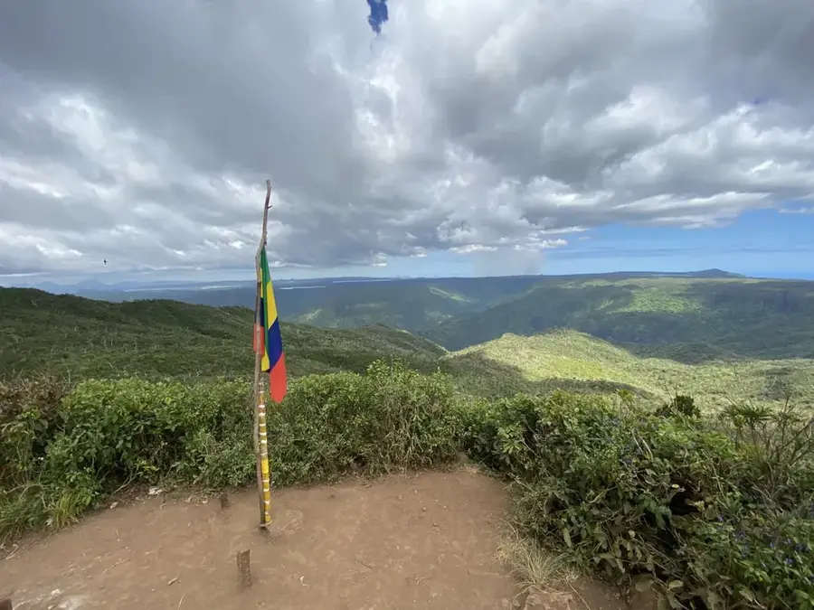
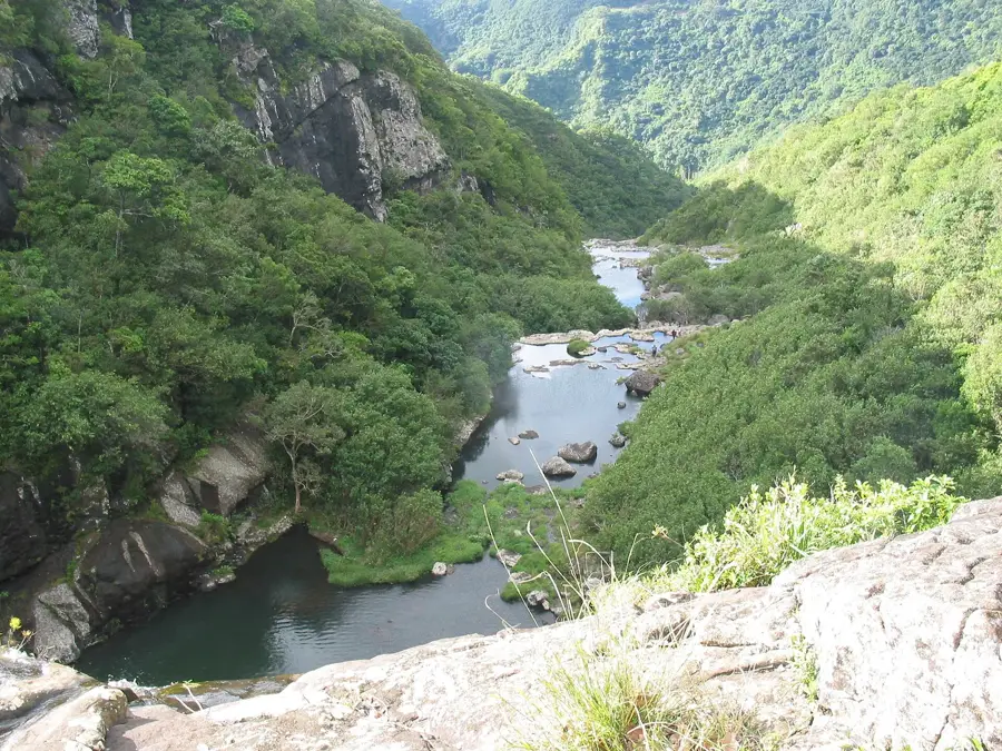
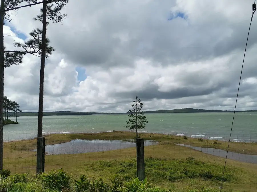
The Piton de la Petite Rivière Noire is the highest point on the island of Mauritius, standing at an elevation of 828 meters above sea level. Located in the southwest of the island within the Black River Gorges National Park, it forms part of the Rivière Noire mountain range. The summit provides extensive views over the forested gorges of the national park and the coastline of the Indian Ocean. Geologically, the mountain is composed of volcanic basalt, characteristic of the formation of the Mascarene Islands. Hiking trails lead to the peak from various points, such as Plaine Champagne, with the final section featuring steeper terrain. At the top, there is a metal bench and a marker signifying the highest elevation. Protection of the area is critical for maintaining the island's endemic flora and fauna, as the mountain is part of a strictly protected ecosystem.
- Location: Mauritius
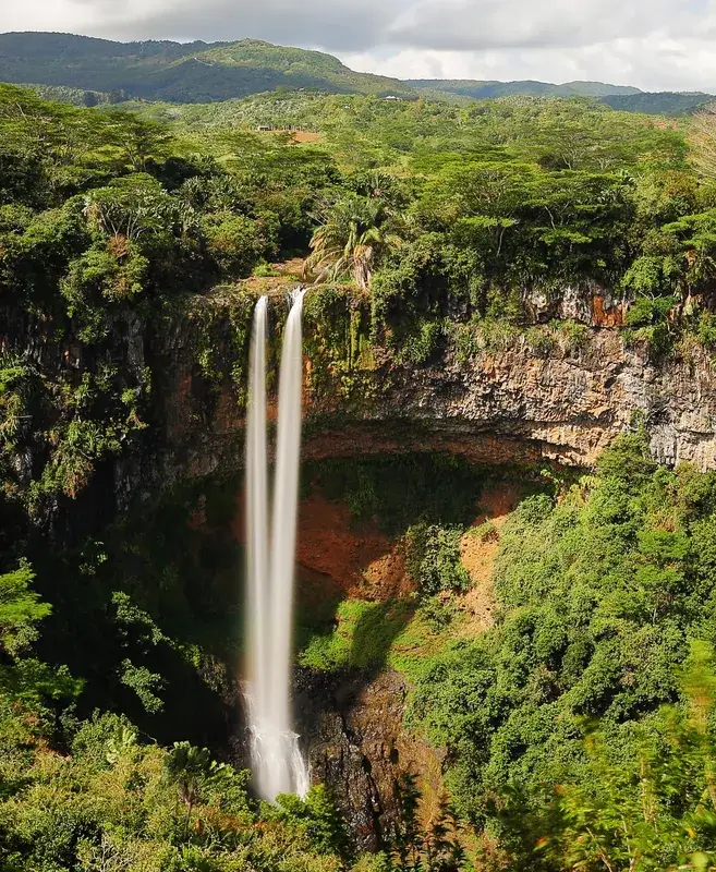
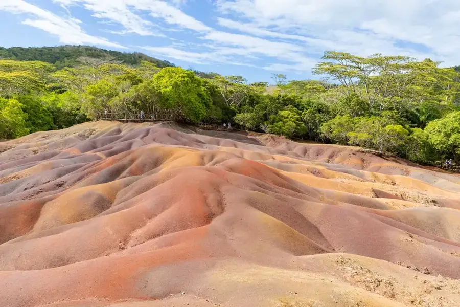
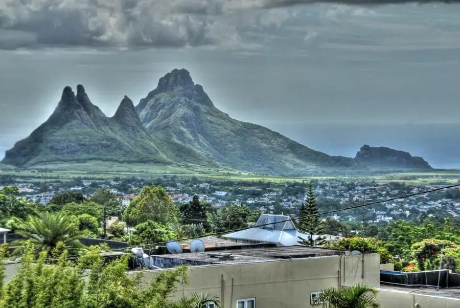
- Top sights: Black River Peak · Piton Saint Denis · Viewpoint Chamarel
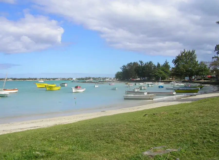
- Nearby: Grande Rivière Noire (4 km)
Best time to visit & climate
The most pleasant time to visit is Jul–Sep.
| Jan | Feb | Mar | Apr | May | Jun | Jul | Aug | Sep | Oct | Nov | Dec | |
|---|---|---|---|---|---|---|---|---|---|---|---|---|
| Avg °C | 27 | 27 | 27 | 26 | 25 | 23 | 22 | 22 | 23 | 24 | 25 | 26 |
| Rain mm | 127 | 113 | 124 | 79 | 47 | 32 | 28 | 26 | 29 | 31 | 34 | 48 |
📋 Practical info
Geography
Facts
- Highest peak in Mauritius at 828 meters above sea level
- Part of the Rivière Noire mountain range in the southwest
- Located entirely within the Black River Gorges National Park
- Most popular hiking trail starts from Plaine Champagne road
- Geological structure is primarily composed of volcanic basalt
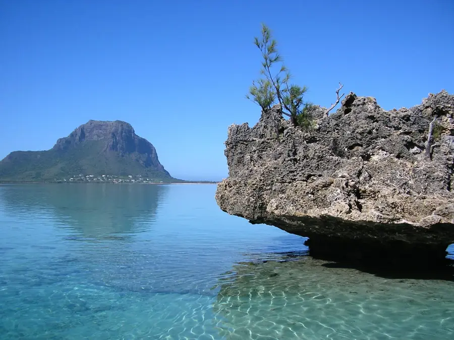
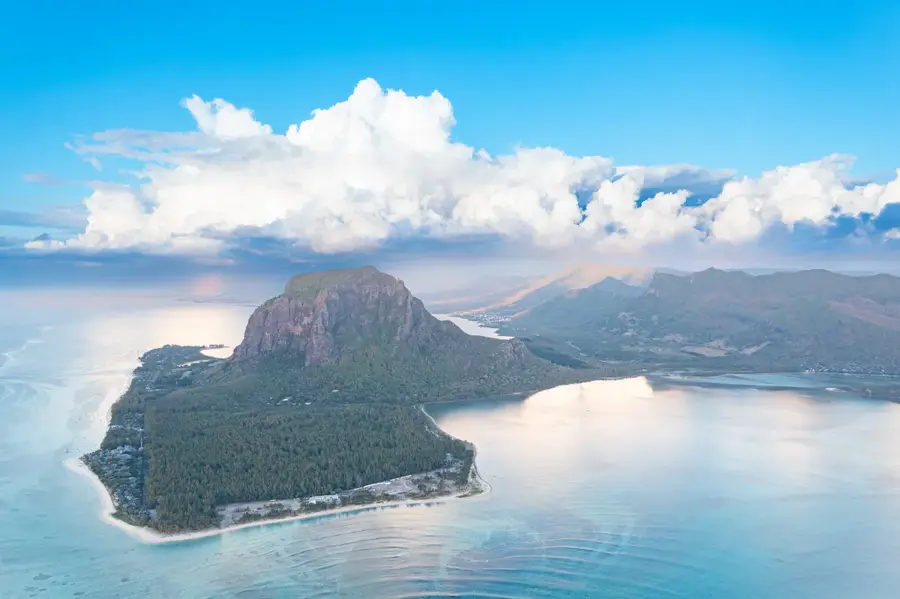
- The summit offers panoramic views of the Le Morne peninsula
Explore nearby
Notable places around
Route planner — Car & Motorhome
Where do you start? We build the route here, with stops and country notes along the way.
© OpenStreetMap contributors · OpenRouteService
Sights in the town Piton de la Petite Rivière Noire (3)
Sights nearby
Frequently asked questions
How high is the mountain?
Is the climb difficult?
Can you find the way without a guide?
Is there much space at the peak?
How long does the climb take?
Piton de la Petite Rivière Noire: where is it located?
Piton de la Petite Rivière Noire: what is there to see?
Piton de la Petite Rivière Noire: when is the best time to visit?
Piton de la Petite Rivière Noire: why is it worth visiting?

Nearby cities
History & landmarks
Nature
More places