Plizio Visual Lab
Tourelle du Tamarin
Weather…
Water temperature…
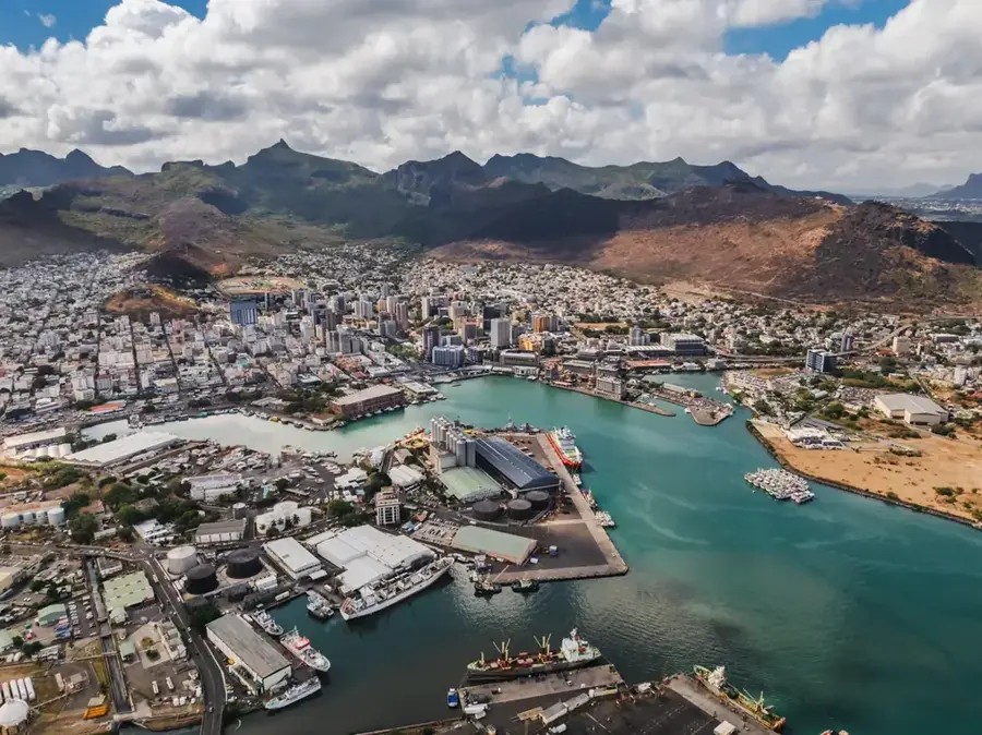
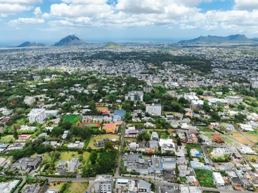
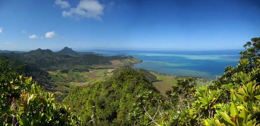
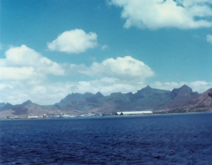
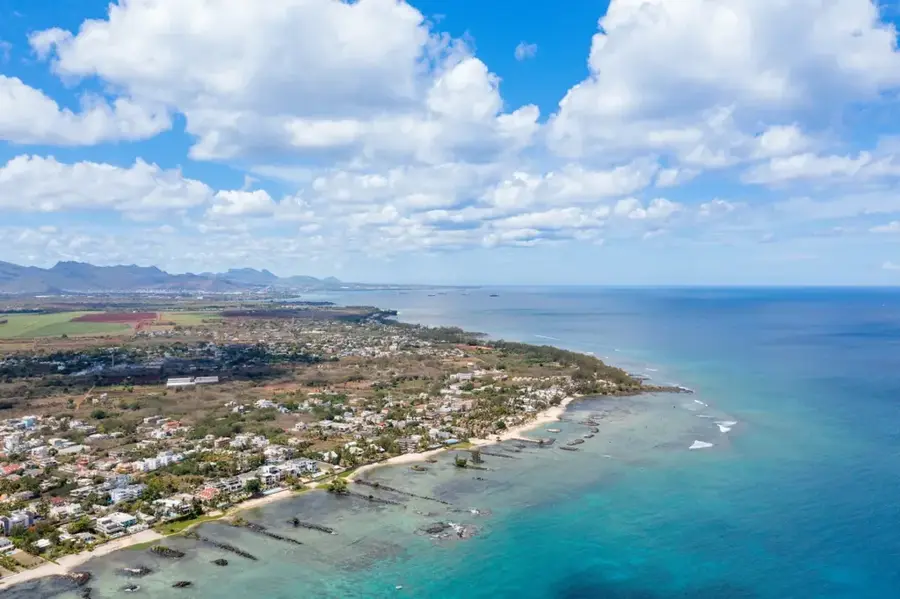
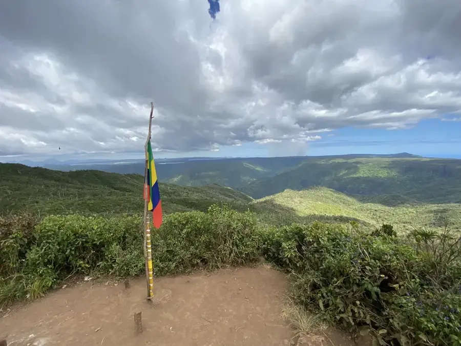
Tourelle du Tamarin is a prominent, cone-shaped mountain that defines the skyline of the west coast of Mauritius. Rising to a height of 548 meters, it gives some of the most spectacular views found anywhere on the island. Although the mountain is located on private property, it is generally accessible to hikers and remains one of the most popular trekking destinations in the area. The trail leads through dry scrubland and over rocky sections that can be quite steep, but the summit reward is unparalleled: a 360-degree panoramic view of the Tamarin lagoon, the vast Indian Ocean, and the iconic Le Morne Brabant to the south. The hike also provides a chance to spot local birdlife and experience the unique biodiversity of the western slopes. It is a favorite spot for photographers, especially during the golden hour when the setting sun illuminates the reef and the distant peaks of the Black River Gorges mountain range.
- Location: Mauritius
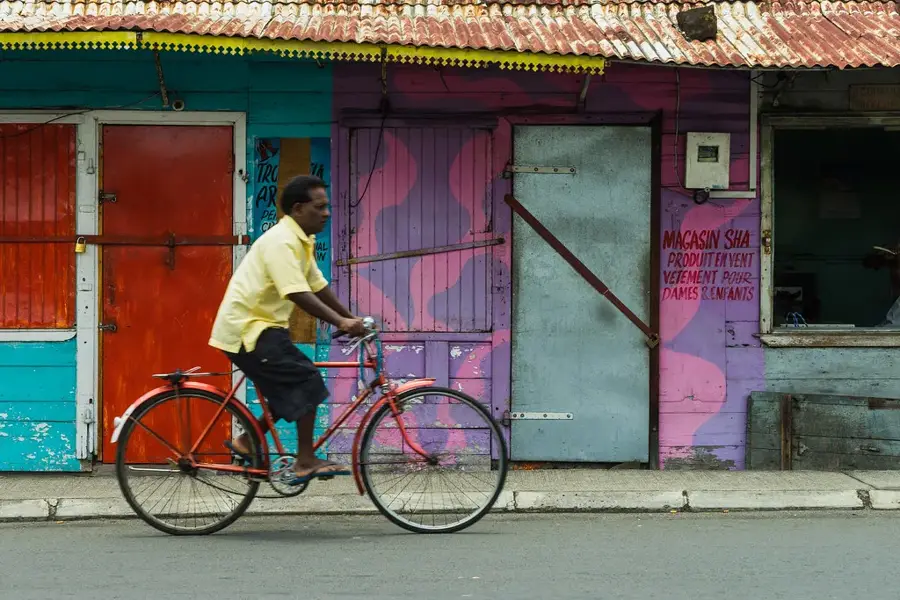
- Top sights: La pointe Tamarin · Tamarin Arts Center · Salines de Yemen-Tamarin
- Nearby: Case Noyale (4 km)
Best time to visit & climate
The most pleasant time to visit is Jul–Sep.
| Jan | Feb | Mar | Apr | May | Jun | Jul | Aug | Sep | Oct | Nov | Dec | |
|---|---|---|---|---|---|---|---|---|---|---|---|---|
| Avg °C | 27 | 27 | 27 | 26 | 25 | 23 | 22 | 22 | 23 | 24 | 25 | 26 |
| Rain mm | 127 | 113 | 124 | 79 | 47 | 32 | 28 | 26 | 29 | 31 | 34 | 48 |
📋 Practical info
Geography
Facts
- Height of 548 meters
- Views over Tamarin Bay
- Part of a private estate
- Dry forest vegetation
- Hiking destination on the west coast
- Overlooks the salt pans
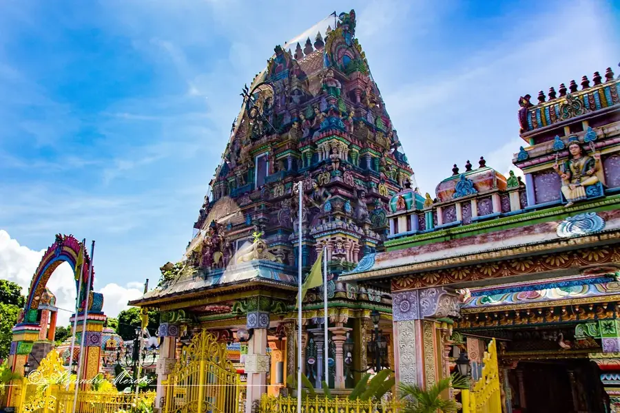
Explore nearby
Notable places around
Route planner — Car & Motorhome
Where do you start? We build the route here, with stops and country notes along the way.
© OpenStreetMap contributors · OpenRouteService
Sights in the town Tourelle du Tamarin (10)
Tamarin Public Beach
Public beach in Tamarin, accessible to all visitors.
Tourelle du Tamarin
Mountain peak in Mauritius, a distinct elevation near the coast of Tamarin.
La Preneuse Beach
Beach in Mauritius, located in Tamarin Bay, with calm water.
La Preneuse Public Beach
Public beach section at La Preneuse Bay, freely accessible.
Wallart printing and framing
Gallery and workshop for art prints and framing in Tamarin.
Wolmar Beach
Sandy beach on the west coast of Mauritius, lined with hotels and restaurants.
Sights nearby
Frequently asked questions
How demanding is the hike?
What is the best time of day to hike?
Do you need a guide?
Is the path marked?
What does the peak offer?
Tourelle du Tamarin: where is it located?
Tourelle du Tamarin: what is there to see?
Tourelle du Tamarin: when is the best time to visit?
Tourelle du Tamarin: why is it worth visiting?

Nearby cities