Plizio Visual Lab
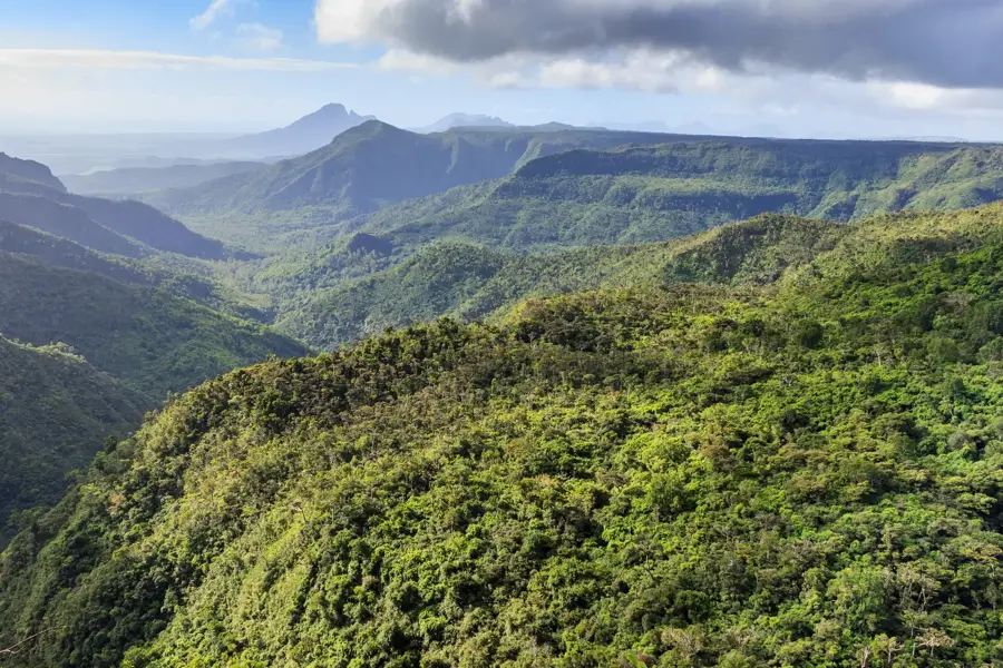
Black River Gorges National Park
Weather…
Water temperature…
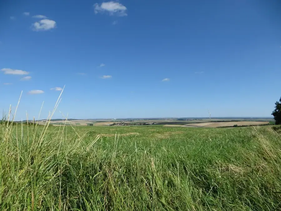
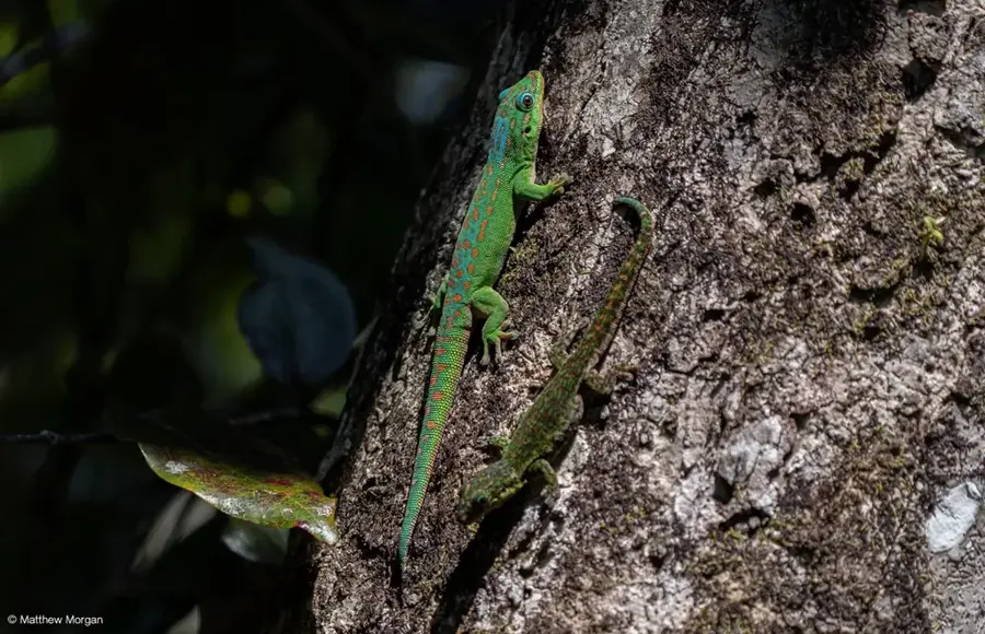
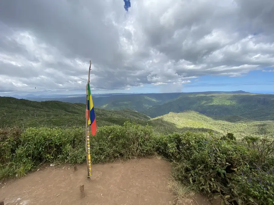
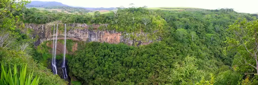
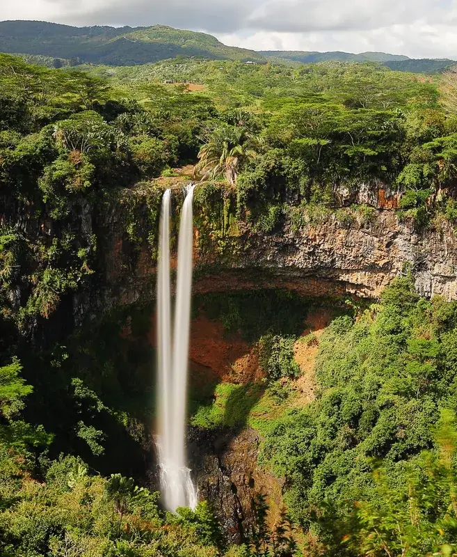
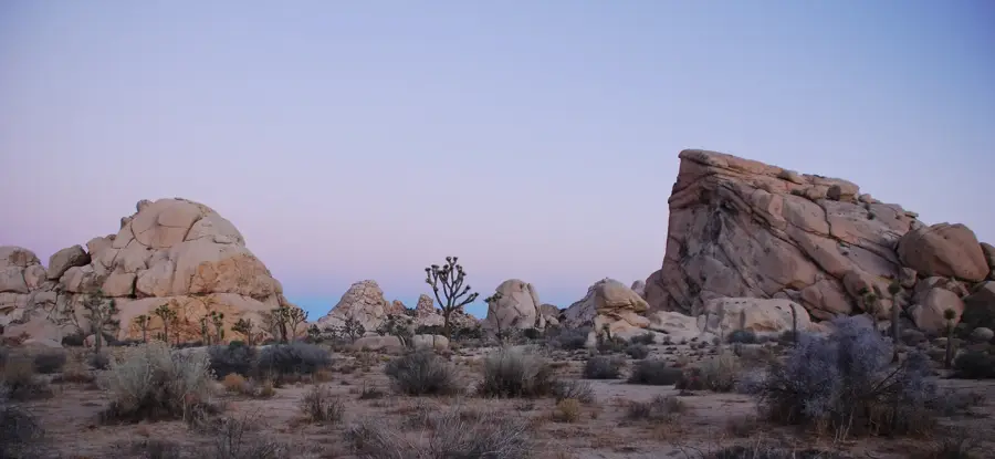
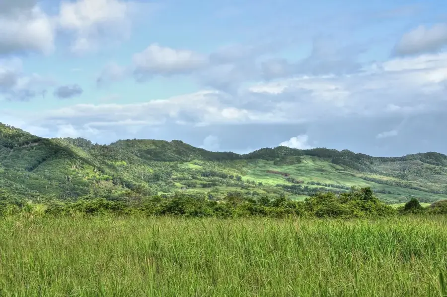
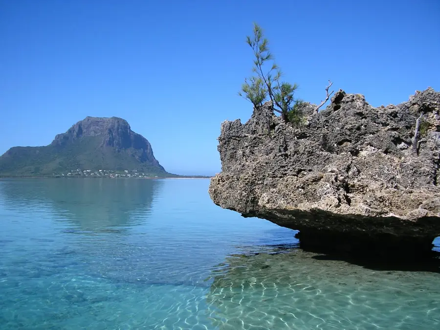
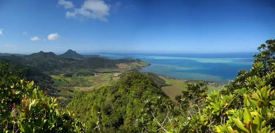
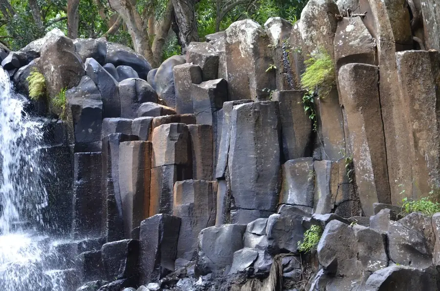
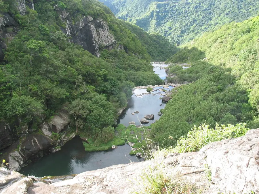
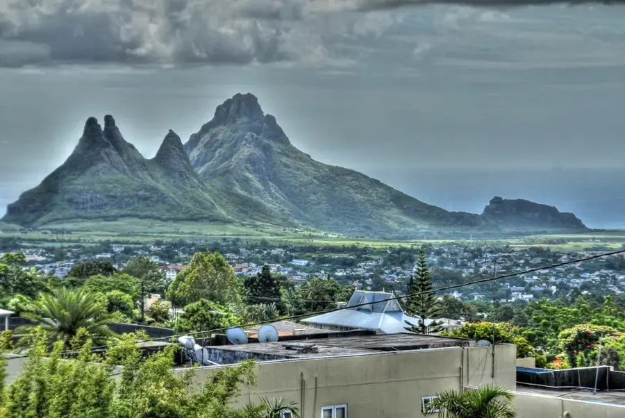
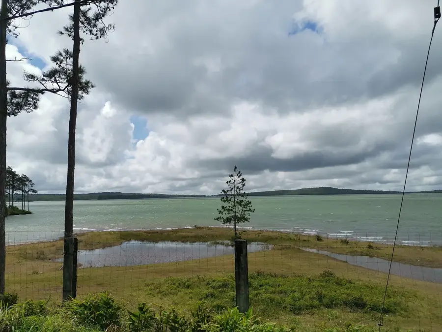
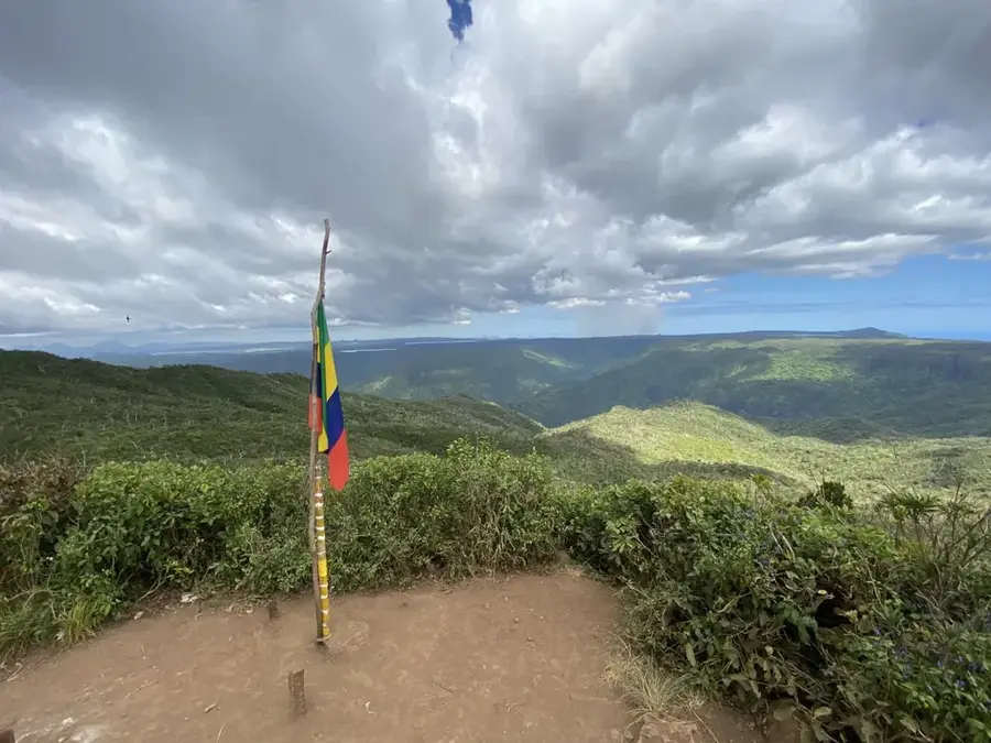
The Black River Gorges National Park is the largest protected area in Mauritius, covering approximately 6,754 hectares of rainforest in the southwest of the island. The park was officially proclaimed on June 15, 1994, to protect the island's last remaining continuous native forests and numerous endangered animal species. Rare birds such as the Pink Pigeon, the Echo Parakeet, and the Mauritius Kestrel find a protected habitat here. The landscape is defined by deep gorges, dramatic waterfalls like Alexandra Falls, and dense, endemic vegetation types. More than 60 kilometers of hiking trails crisscross the area, leading to vantage points like the Gorges Viewpoint, which features views extending to the coastline. The park plays a central role in the country's scientific research and ecotourism. Preserving this ecosystem is vital, as many of the plant species found here exist nowhere else in the world except on Mauritius.
- Location: Mauritius
- Top sights: Plateau Remousse · Machabée Viewpoint · Cascade Mare aux Joncs
- Nearby: Chemin Grenier (6 km)
Best time to visit & climate
The most pleasant time to visit is Jul–Sep.
| Jan | Feb | Mar | Apr | May | Jun | Jul | Aug | Sep | Oct | Nov | Dec | |
|---|---|---|---|---|---|---|---|---|---|---|---|---|
| Avg °C | 27 | 27 | 27 | 26 | 25 | 23 | 22 | 22 | 23 | 24 | 25 | 26 |
| Rain mm | 127 | 113 | 124 | 79 | 47 | 32 | 28 | 26 | 29 | 31 | 34 | 48 |
📋 Practical info
Geography
Facts
- Largest national park in Mauritius, covering 6,754 hectares
- The park was officially proclaimed on June 15, 1994
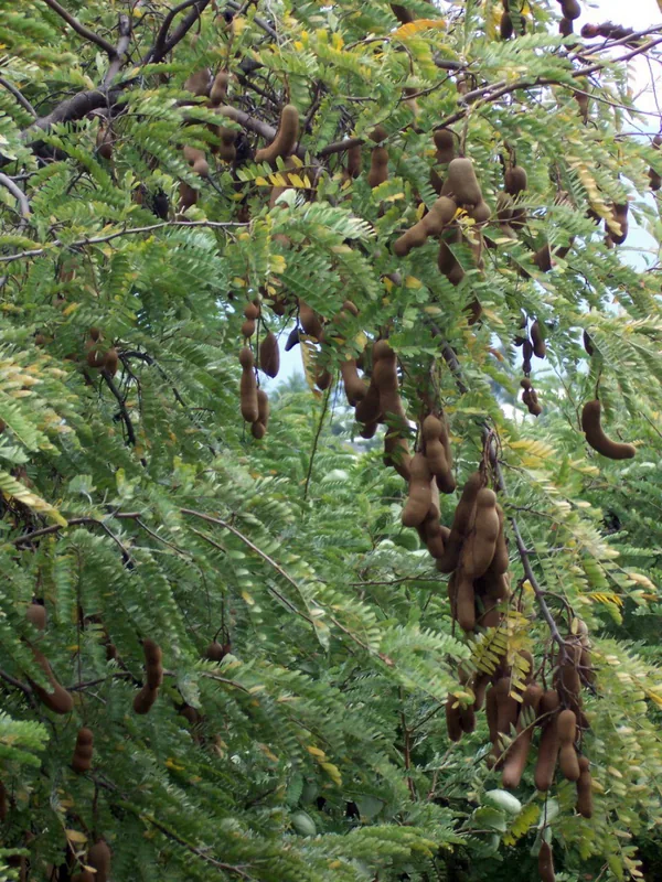
- Home to over 300 species of native flowering plants
- Crucial sanctuary for the endangered Mauritius Kestrel
- Features a network of more than 60 kilometers of hiking trails
- Contains Alexandra Falls, one of the island's most famous waterfalls
Explore nearby
Notable places around
Route planner — Car & Motorhome
Where do you start? We build the route here, with stops and country notes along the way.
© OpenStreetMap contributors · OpenRouteService
Sights in the town Black River Gorges National Park (7)
Black River Peak
Mountain in Mauritius, the highest point in Black River Gorges National Park.
Gorges Viewpoint
Lookout with a direct view into the deep gorges of Black River Gorges National Park.
Piton Saint Denis
Mountain peak in Mauritius, located in Black River Gorges National Park.
Sights nearby
Frequently asked questions
What does the park offer?
Do you need a permit?
When is the best season?
Are there dangerous animals?
How long is the longest trail?
Black River Gorges National Park: where is it located?
Black River Gorges National Park: what is there to see?
Black River Gorges National Park: when is the best time to visit?
Black River Gorges National Park: why is it worth visiting?

Nearby cities
History & landmarks
Nature
More places