Plizio Visual Lab
Plaine Champagne
Weather…
Water temperature…
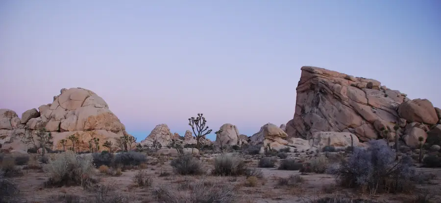
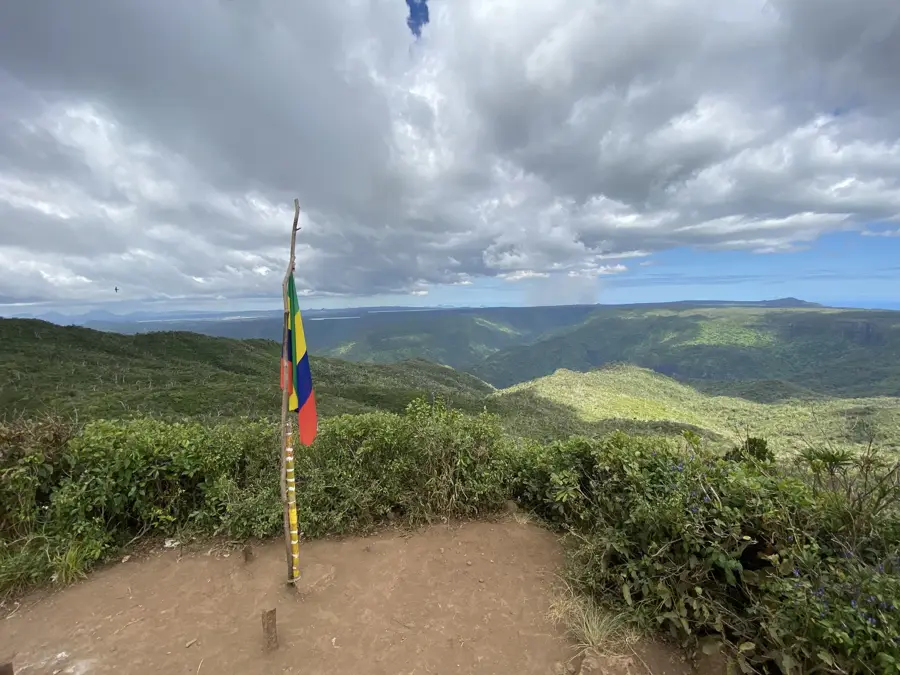
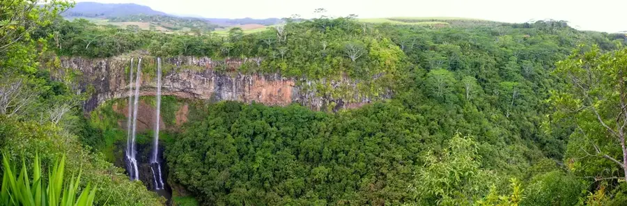
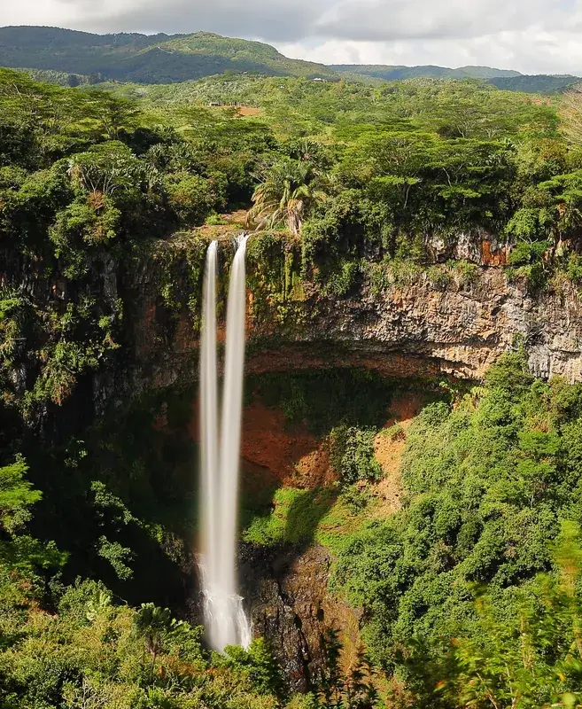
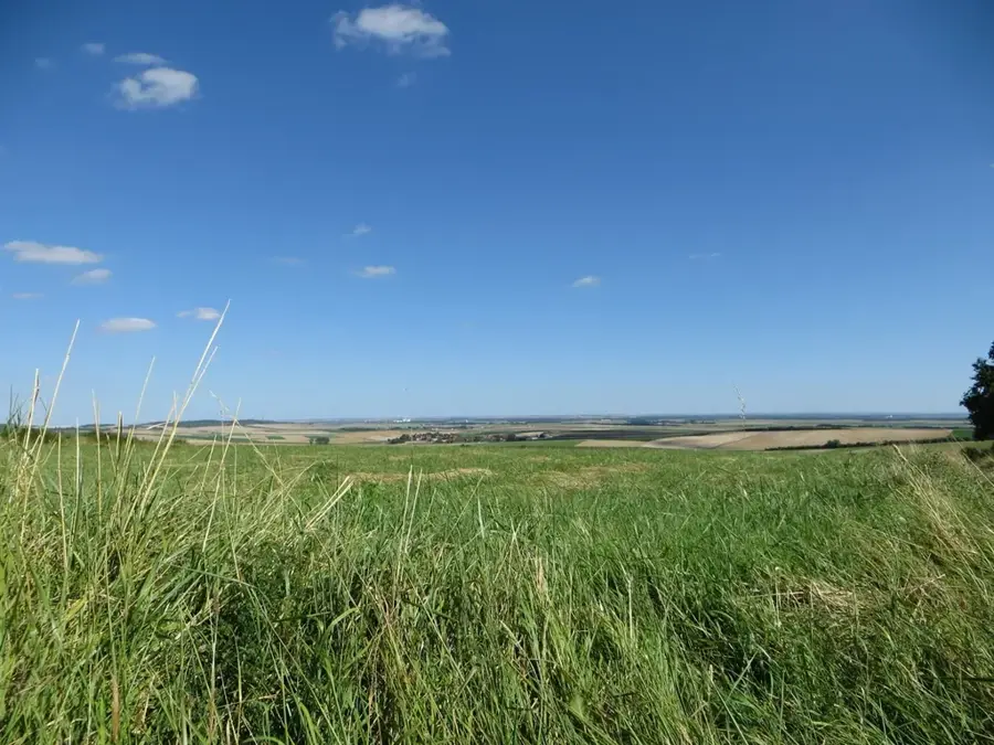
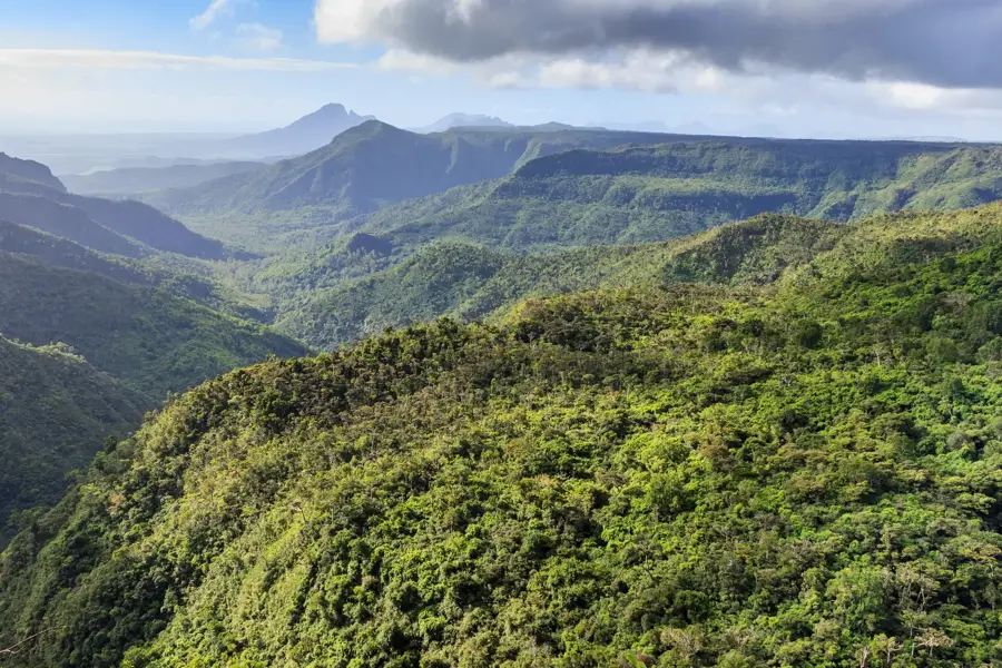
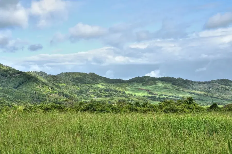
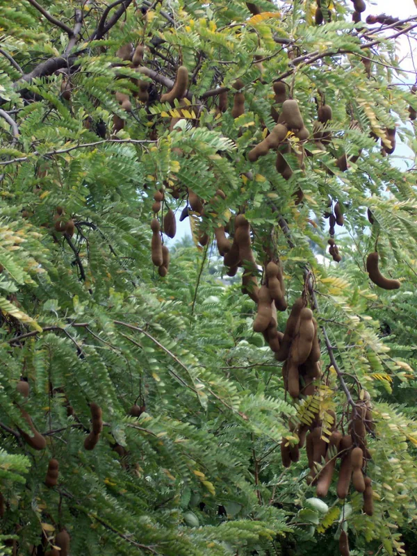
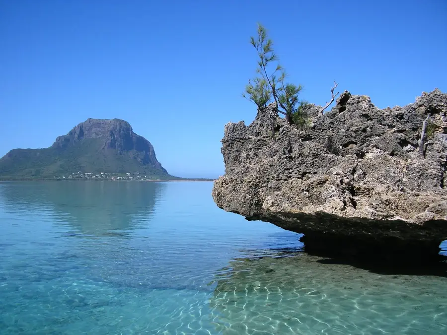
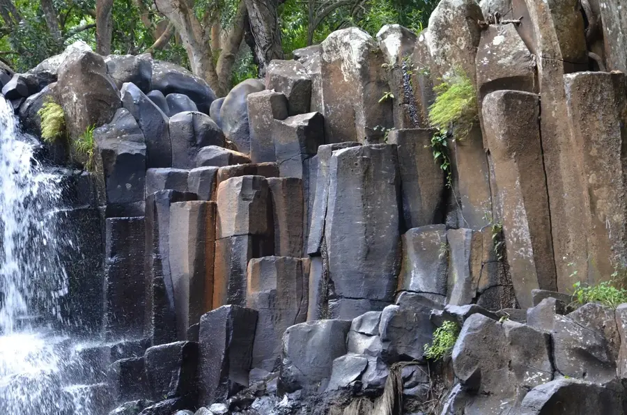
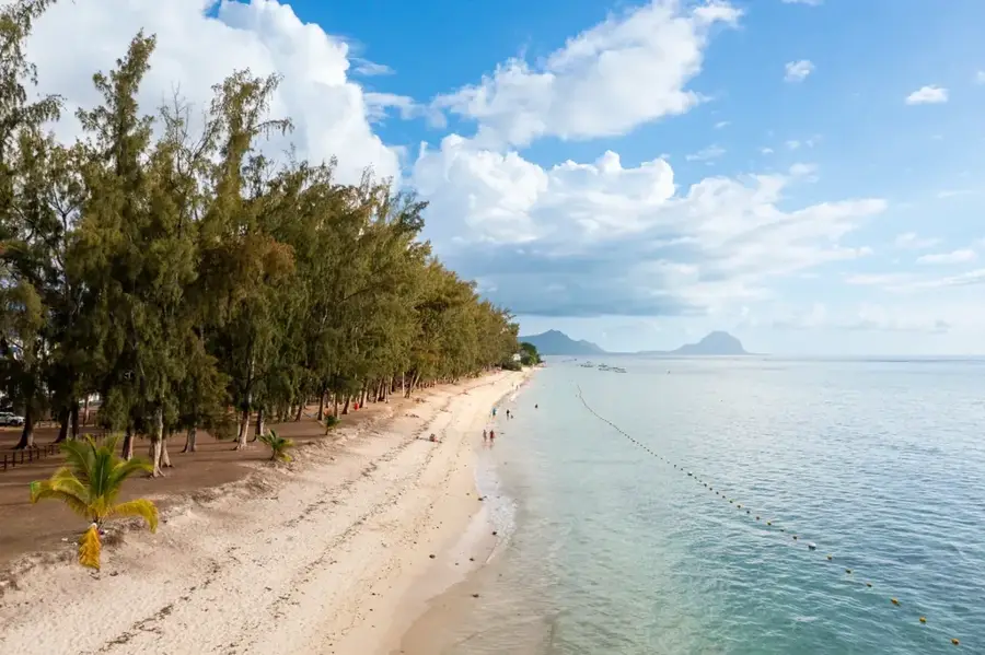
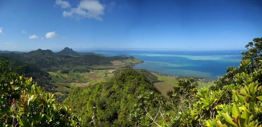
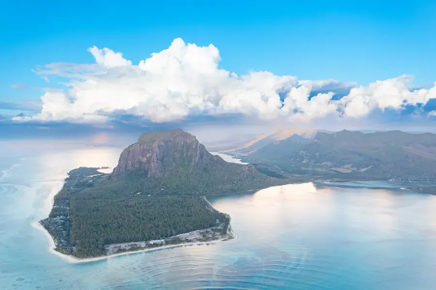
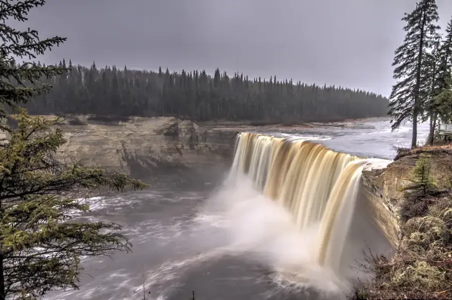
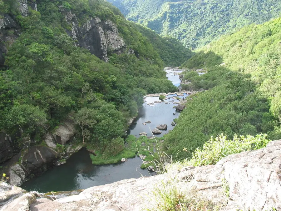
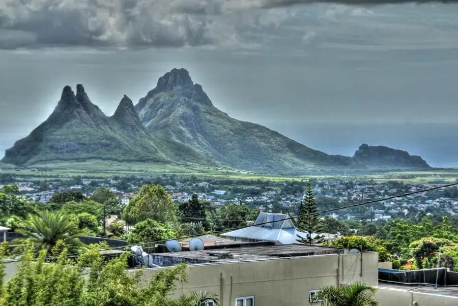
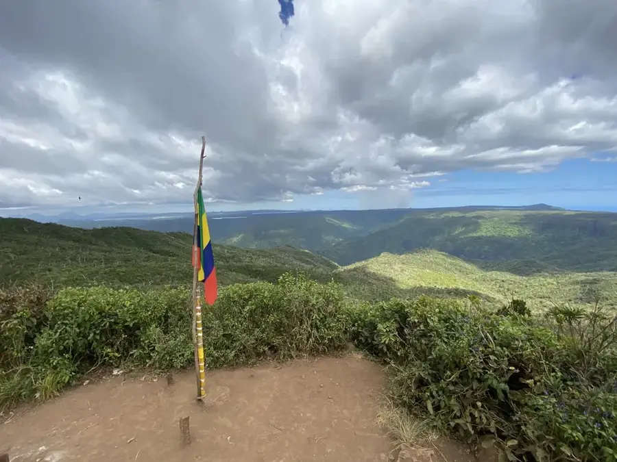
Plaine Champagne is the highest plateau in Mauritius, located in the southwestern part of the island at an average elevation of 600 to 700 meters. This region is distinguished by its cooler climate and distinctive volcanic soil, which supports a unique upland vegetation. Geologically, the plateau acts as a significant watershed, with numerous rivers originating here and flowing into the surrounding valleys. Historically used for forestry, the area is now primarily focused on biodiversity conservation, hosting rare endemic plant species such as the Tambalacoque tree. During the harvest season between May and July, the plateau is a popular location for gathering Chinese guavas, an invasive fruit that has become deeply embedded in local culture. Several viewpoints along the main road provide direct views of Alexandra Falls and the deep ravines of the Black River Gorges. The region is essential for ecotourism and ongoing scientific research into the island's terrestrial ecosystems.
- Location: Mauritius
- Top sights: Gorges Viewpoint · Museum Touche Du Bois · Viewpoint Chamarel
- Nearby: Chemin Grenier (6 km)
Best time to visit & climate
The most pleasant time to visit is Jul–Sep.
| Jan | Feb | Mar | Apr | May | Jun | Jul | Aug | Sep | Oct | Nov | Dec | |
|---|---|---|---|---|---|---|---|---|---|---|---|---|
| Avg °C | 27 | 27 | 27 | 26 | 25 | 23 | 22 | 22 | 23 | 24 | 25 | 26 |
| Rain mm | 127 | 113 | 124 | 79 | 47 | 32 | 28 | 26 | 29 | 31 | 34 | 48 |
📋 Practical info
Geography
Facts
- Highest plateau on the island of Mauritius
- Average elevation between 600 and 700 meters
- Habitat for the rare endemic Tambalacoque tree
- Primary area for seasonal Chinese guava picking
- Features viewpoints overlooking Alexandra Falls
- Functions as a major watershed for the island
Explore nearby
Notable places around
Route planner — Car & Motorhome
Where do you start? We build the route here, with stops and country notes along the way.
© OpenStreetMap contributors · OpenRouteService
Sights in the town Plaine Champagne (6)
Black River Peak
Mountain peak in Mauritius, the highest point on the island.
Plateau Remousse
Viewpoint on a plateau in Plaine Champagne, Mauritius.
Sights nearby
Frequently asked questions
What is Plaine Champagne?
Is it a good place for hiking?
What is the weather like there?
Are there viewpoints there?
Is the road there safe?
Plaine Champagne: where is it located?
Plaine Champagne: what is there to see?
Plaine Champagne: when is the best time to visit?
Plaine Champagne: why is it worth visiting?

Nearby cities
History & landmarks
Nature
More places