Plizio Visual Lab
Chamarel Waterfall
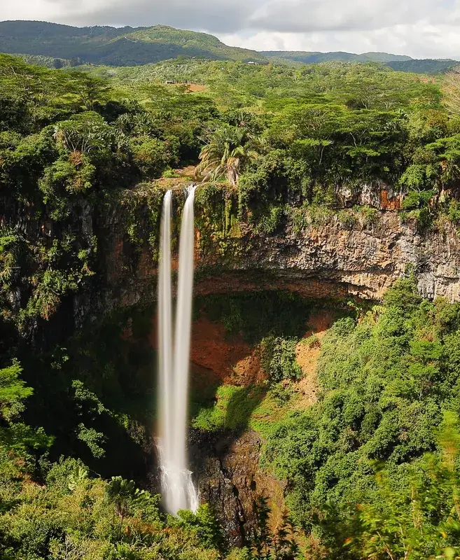
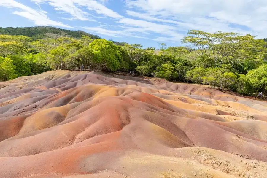
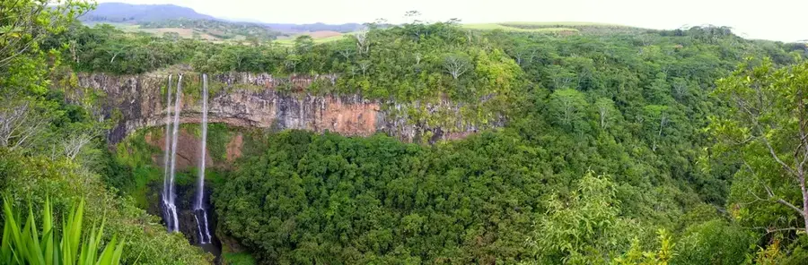
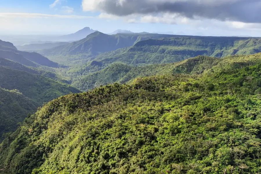
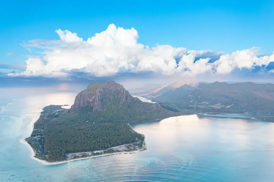
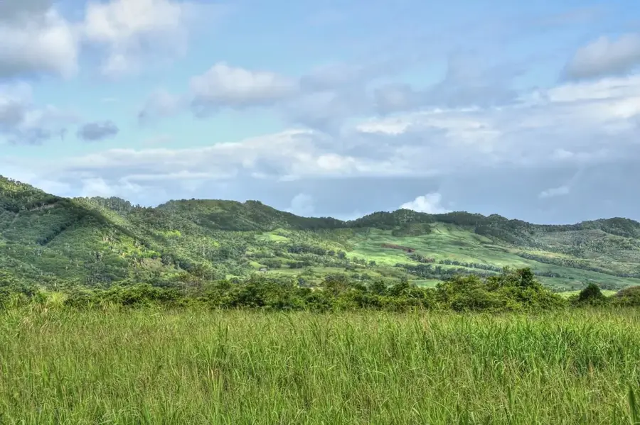
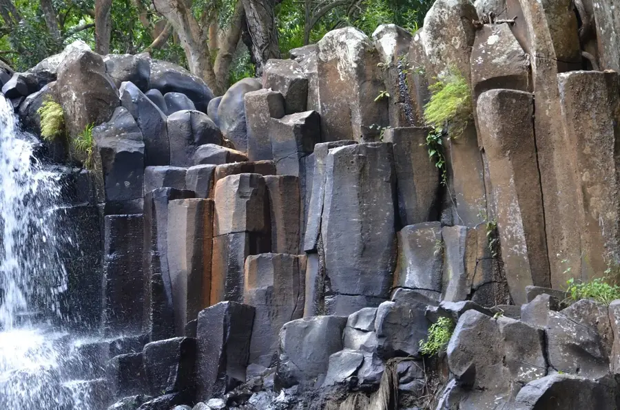
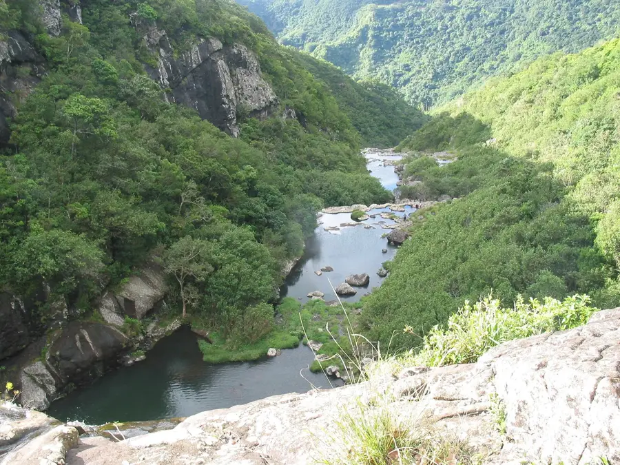
Chamarel Waterfall is the highest single-drop waterfall in Mauritius, plunging from a height of approximately 83 to 100 meters in the southwestern region of the island. It is fed by the St. Denis and Viande Salée rivers, which cascade over a horseshoe-shaped basalt cliff into a dense, tropical gorge. The geological structure of the cliff dates back millions of years and clearly exhibits the distinct lava flows associated with the island's formation. Historically, the area is named after the Chamarel family, who held land grants in the region during the 18th century. The waterfall is a centerpiece of the Chamarel nature park and is located in close proximity to the renowned Seven Coloured Earths. Two viewing platforms allow for detailed observation of the falls and the surrounding rainforest vegetation, which is a common habitat for Mauritian fruit bats. Water volume fluctuates significantly by season, peaking after heavy rainfall in the southern summer. The waterfall serves both as a major landmark and as a subject for studying erosion in volcanic terrains.
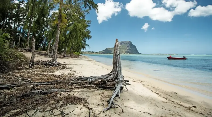
- Location: Mauritius
- Top sights: Viewpoint Chamarel Waterfall · Curious Corner · La Vieille Cheminée
- Nearby: La Gaulette (4 km)
Best time to visit & climate
The most pleasant time to visit is Jul–Sep.
| Jan | Feb | Mar | Apr | May | Jun | Jul | Aug | Sep | Oct | Nov | Dec | |
|---|---|---|---|---|---|---|---|---|---|---|---|---|
| Avg °C | 27 | 27 | 27 | 26 | 25 | 23 | 22 | 22 | 23 | 24 | 25 | 26 |
| Rain mm | 127 | 113 | 124 | 79 | 47 | 32 | 28 | 26 | 29 | 31 | 34 | 48 |
📋 Practical info
Geography
Facts
- Highest single-drop waterfall in Mauritius
- Total drop height is approximately 83-100 meters
- Fed by the St. Denis and Viande Salée rivers
- Flows over ancient basaltic lava layers
- Named after 18th-century landowner Charles de Chamarel
- Located near the Seven Coloured Earths attraction
Explore nearby
Notable places around
Route planner — Car & Motorhome
Where do you start? We build the route here, with stops and country notes along the way.
© OpenStreetMap contributors · OpenRouteService
Sights in the town Chamarel Waterfall (8)
La Vieille Cheminée
Old chimney of a former sugar cane factory in Mauritius.
Sublim Point
Viewpoint overlooking the coast and the sea.
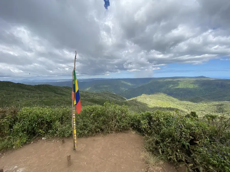
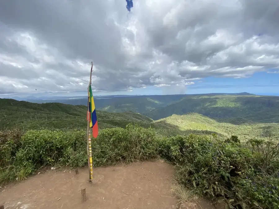
Viewpoint Chamarel
Observation point with views of the hills and valleys of Chamarel.
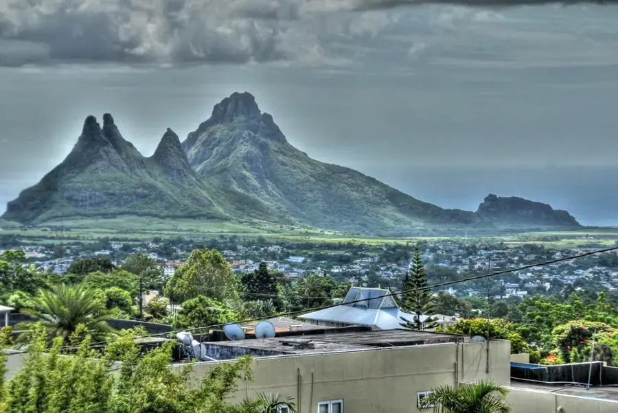
Piton du Fouge
Mountain peak in Mauritius, of volcanic origin.
Sights nearby
Frequently asked questions
What are the opening hours of Chamarel Waterfall?
Is there an entrance fee for the waterfall?
Is the waterfall wheelchair accessible?
How long does a visit take?
Is swimming in the waterfall allowed?
Chamarel Waterfall: where is it located?
Chamarel Waterfall: what is there to see?
Chamarel Waterfall: when is the best time to visit?
Chamarel Waterfall: why is it worth visiting?

Nearby cities
History & landmarks
Nature
More places