Plizio Visual Lab
Macchabée Forest
Weather…
Water temperature…
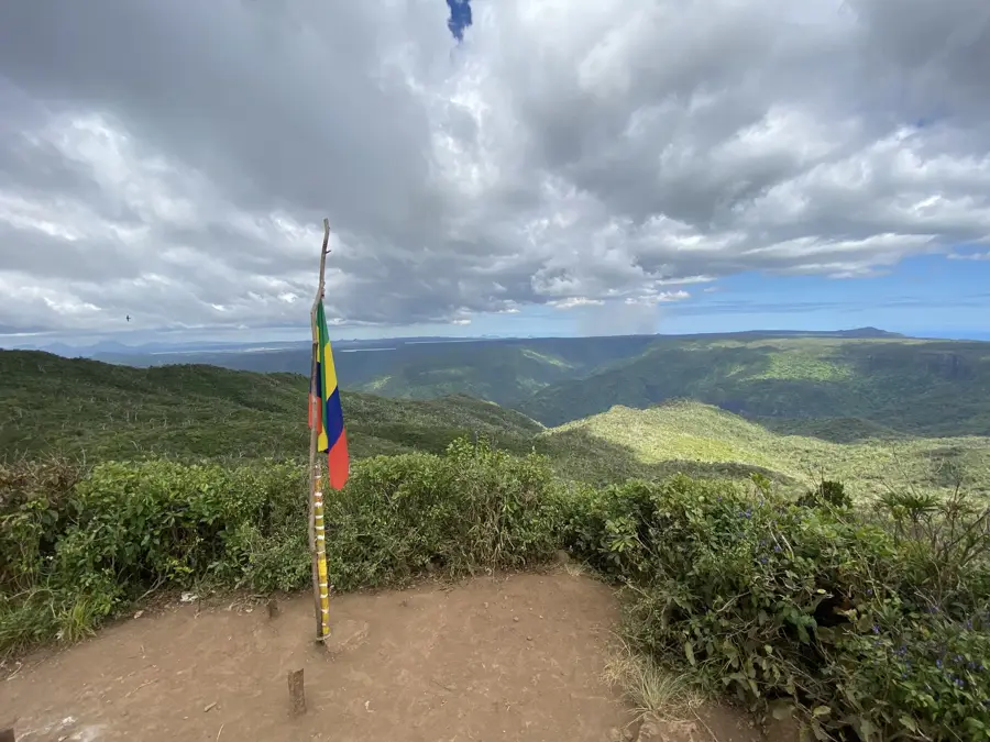
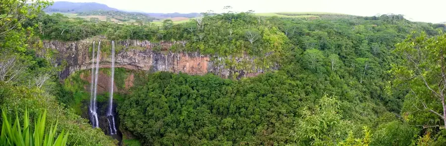
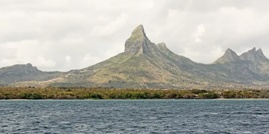
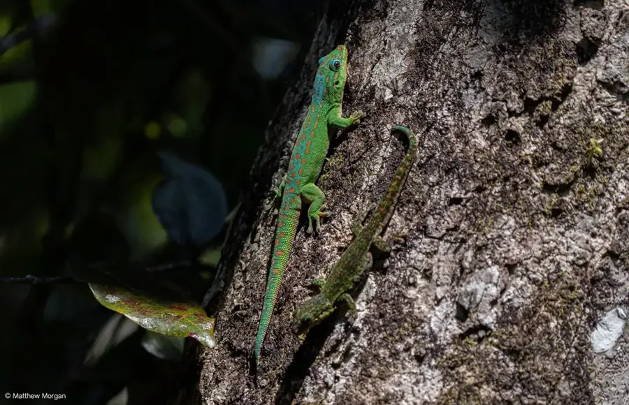
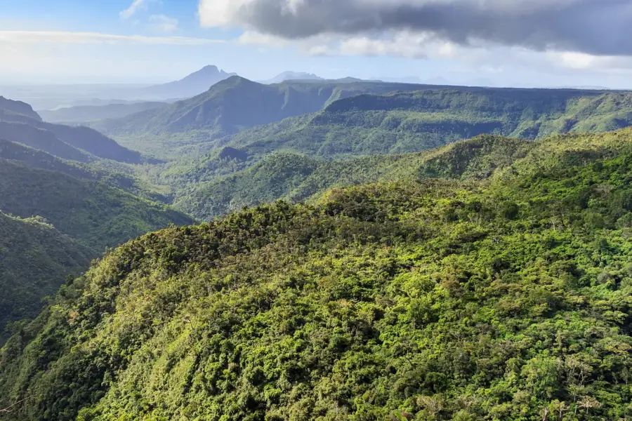
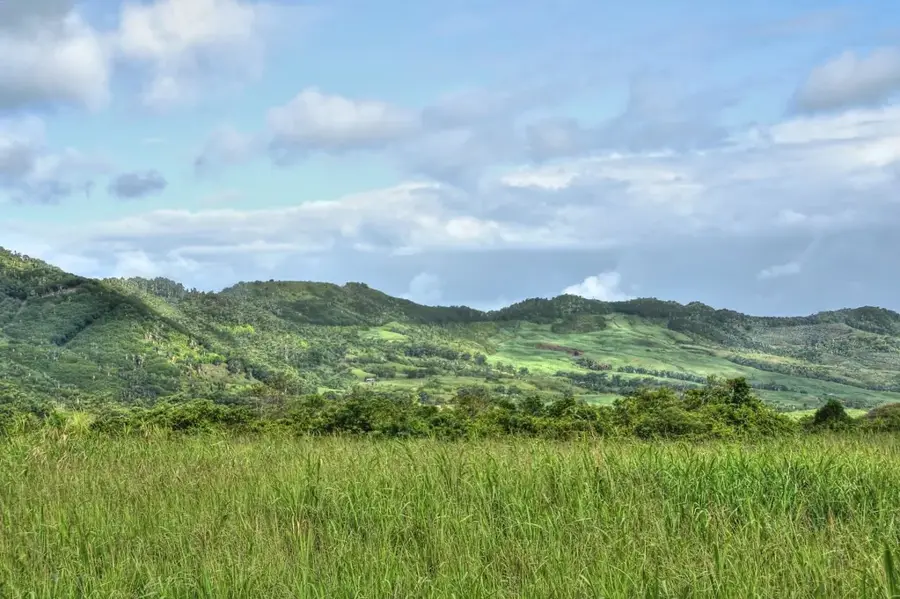
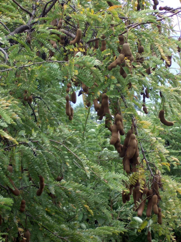
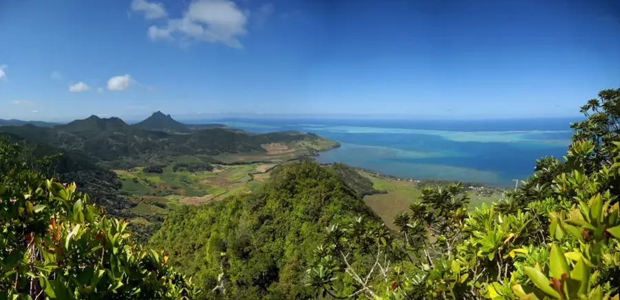
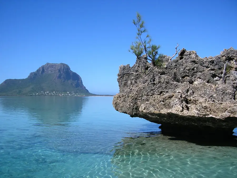
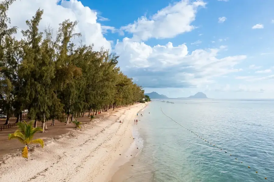
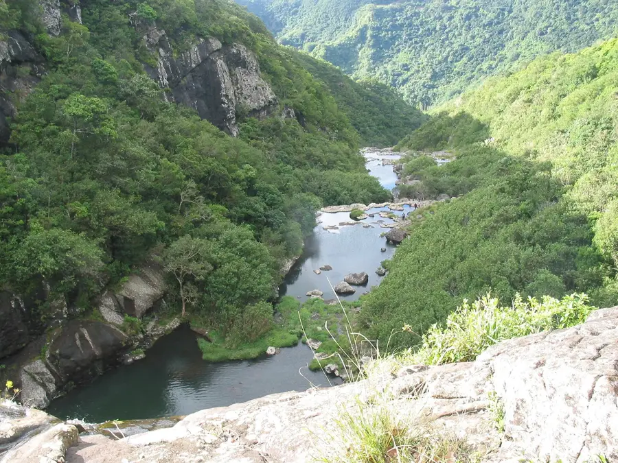
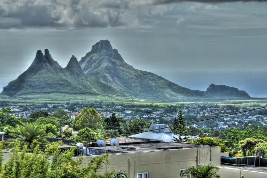
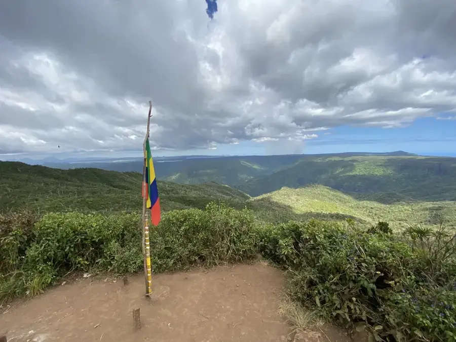
Macchabée Forest is an integral part of the Black River Gorges National Park in southwestern Mauritius, serving as one of the most significant reserves for native flora and fauna. This upland forest region spans an elevation between 500 and 700 meters above sea level and hosts a wide variety of endemic plant species, including rare orchids and ebony trees. Historically, the forest remained largely untouched by large-scale agricultural clearing due to its rugged topography. Today, it provides a sanctuary for endangered animal species such as the Mauritius Kestrel and the Echo Parakeet. Rainfall in this area is substantially higher than in coastal regions, fostering the growth of a dense rainforest with complex ecological niches. A prominent viewpoint gives views over the deep gorges and the Indian Ocean coastline. Scientific initiatives within the forest focus on restoring the original ecosystem by eradicating invasive species like the Chinese guava to allow native vegetation to thrive.
- Location: Mauritius
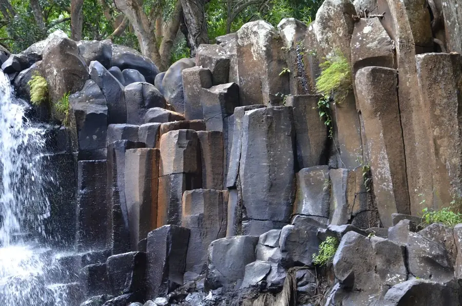
- Top sights: Cascade Mare aux Joncs · Machabée Viewpoint · Brise Fer
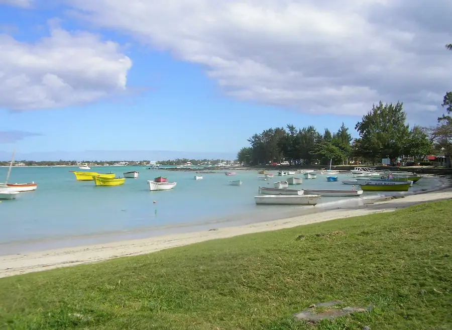
- Nearby: Riviere Noire (4 km)
Best time to visit & climate
The most pleasant time to visit is Jul–Sep.
| Jan | Feb | Mar | Apr | May | Jun | Jul | Aug | Sep | Oct | Nov | Dec | |
|---|---|---|---|---|---|---|---|---|---|---|---|---|
| Avg °C | 27 | 27 | 27 | 26 | 25 | 23 | 22 | 22 | 23 | 24 | 25 | 26 |
| Rain mm | 127 | 113 | 124 | 79 | 47 | 32 | 28 | 26 | 29 | 31 | 34 | 48 |
📋 Practical info
Geography
Facts
- Located within Black River Gorges National Park
- Elevation ranges from 500 to 700 meters
- Critical habitat for the endangered Mauritius Kestrel
- Home to over 300 species of endemic flowering plants
- Receives significantly more rainfall than coastal areas
- Target of extensive native forest restoration efforts
Explore nearby
Notable places around
Route planner — Car & Motorhome
Where do you start? We build the route here, with stops and country notes along the way.
© OpenStreetMap contributors · OpenRouteService
Sights in the town Macchabée Forest (4)
Sights nearby
Frequently asked questions
Is the forest accessible?
What kind of shoes are needed?
Can you observe wildlife?
Are there paths for beginners?
Should you bring mosquito repellent?
Macchabée Forest: where is it located?
Macchabée Forest: what is there to see?
Macchabée Forest: when is the best time to visit?
Macchabée Forest: why is it worth visiting?

Nearby cities
History & landmarks
Nature
More places