Plizio Visual Lab
Rosso Agricultural Zone
ℹ️Practical info — Rosso Agricultural Zone
▾
🌤 Weather — 5 days
📍 Nearby
Sights nearby
💡 Tips
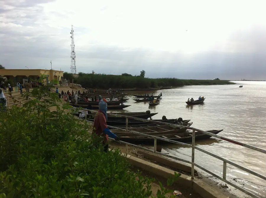
- The official ferry (the 'Bac') is free for pedestrians; ignore 'helpers' who try to sell you fake tickets.
- Keep several photocopies of your passport and visa (fiches) ready to speed up police and immigration checks.
- If traveling by car, consider the quieter Diama border crossing to the west to avoid the chaos of Rosso.
- Arrive at the border before 10:00 AM to escape the midday heat and the longest queues.
- Never hand your passport to anyone who is not in a formal uniform behind an official desk.
🍽 Food
Look for eateries near the border serving grilled fish caught fresh from the Senegal River.
The region is an agricultural hub for rice; try the local rice dishes served with rich sauces.
A cold hibiscus tea sold by street vendors around the ferry landing area.
🛍 Shopping · 🧘 Quiet spots
Rosso's market provides the freshest tomatoes and onions in Mauritania, straight from the fields.
Due to the border location, you can often find high-quality indigo fabrics from neighboring Mali.
Vendors in the market area sell local seeds and traditional farming implements.
A walk through the irrigation systems outside town provides a lush green escape from the border noise.
Some accommodations along the riverbank have quiet terraces with views of the Senegal River.
Away from the main ferry road, you can find quieter alleys with traditional local housing.
Water temperature…
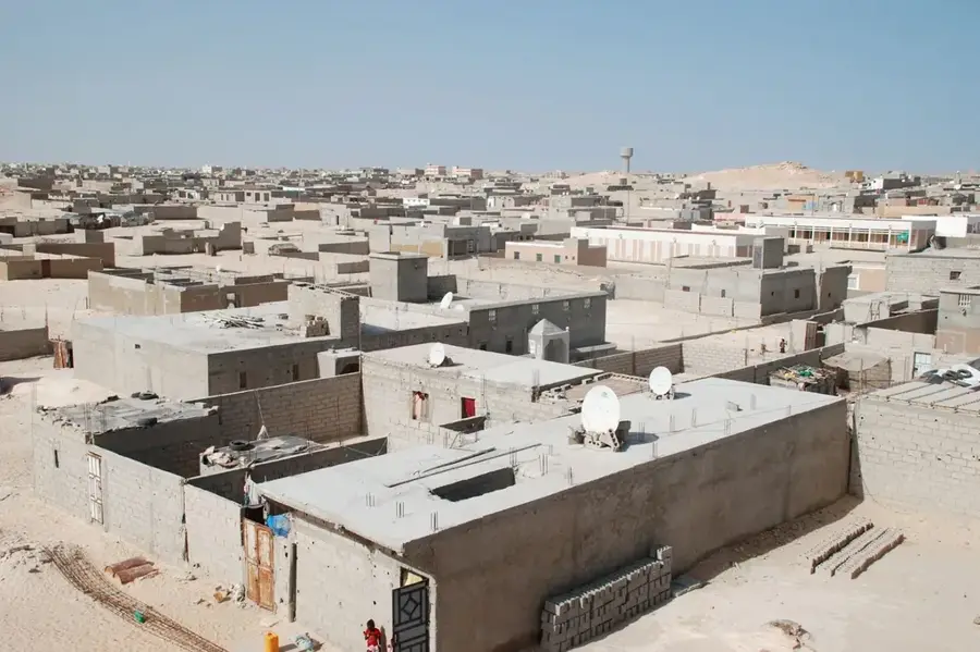
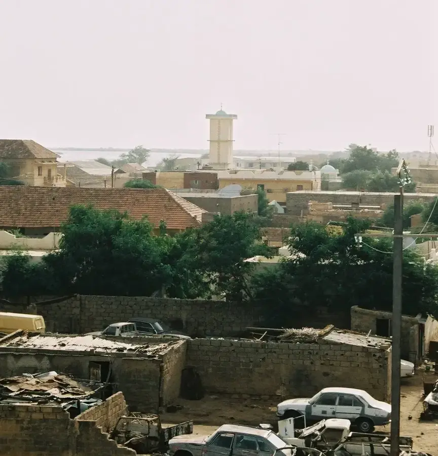
Rosso is a pivotal border town and agricultural powerhouse located in southern Mauritania, along the banks of the Senegal River. Serving as the primary gateway to Senegal, the town is famous for its ferry crossing, which facilitates a constant flow of trade and passengers between the two nations. The surrounding agricultural zone is the most productive region in the country, utilizing the fertile floodplains of the Senegal River for large-scale rice and sugarcane cultivation. Rosso acts as a massive distribution hub, where harvests are gathered and transported to the capital, Nouakchott, and other northern markets. The town's economy is deeply intertwined with river logistics and cross-border commerce, making it a bustling center of activity. Its strategic role is essential for Mauritania's food security and regional economic connectivity, showcasing a unique blend of rural productivity and international trade.
- Location: Mauritania
- Nearby: Diawling National Park (62 km)
- Population: ~15.870 (2026)
Best time to visit & climate
The most pleasant time to visit is Jan, Feb, Dec.
| Jan | Feb | Mar | Apr | May | Jun | Jul | Aug | Sep | Oct | Nov | Dec | |
|---|---|---|---|---|---|---|---|---|---|---|---|---|
| Avg °C | 22 | 22 | 24 | 24 | 25 | 27 | 28 | 29 | 29 | 29 | 26 | 23 |
| Rain mm | 3 | 9 | 24 | 1 | 0 | 8 | 45 | 102 | 91 | 15 | 1 | 0 |
Geography
Facts
- Irrigated area: 12,000 hectares
- Annual rice production: 45,000 metric tons
- Rosso Dam built in 1995, length 1.5 km
- Distance to Nouakchott: 200 km (124 mi)
- Average yield: 3.5 tons per hectare
- Population in the zone: approximately 150,000
Explore nearby
Notable places around
Route planner — Car & Motorhome
Where do you start? We build the route here, with stops and country notes along the way.
© OpenStreetMap contributors · OpenRouteService
Sights in the town Rosso Agricultural Zone (1)
Frequently asked questions
What is the Rosso agricultural zone?
Is the area suitable for a day trip?
What is there to see in Rosso?
Is it family friendly?
Do I need a visa to cross the border?
Rosso Agricultural Zone: where is it located?
Rosso Agricultural Zone: when is the best time to visit?
Rosso Agricultural Zone: why is it worth visiting?

Nearby cities