Plizio Visual Lab
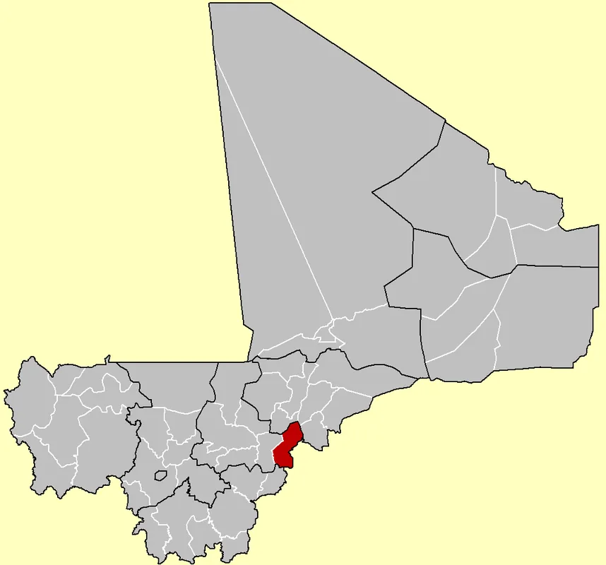
Markala
ℹ️Practical info — Markala
▾
🌤 Weather — 5 days
📍 Nearby
Sights nearby
💡 Tips
- The Markala Dam is an impressive structure; however, ask if photographing the facilities is permitted beforehand.
- Markala is easily accessible as a day trip from Ségou via a well-paved road.
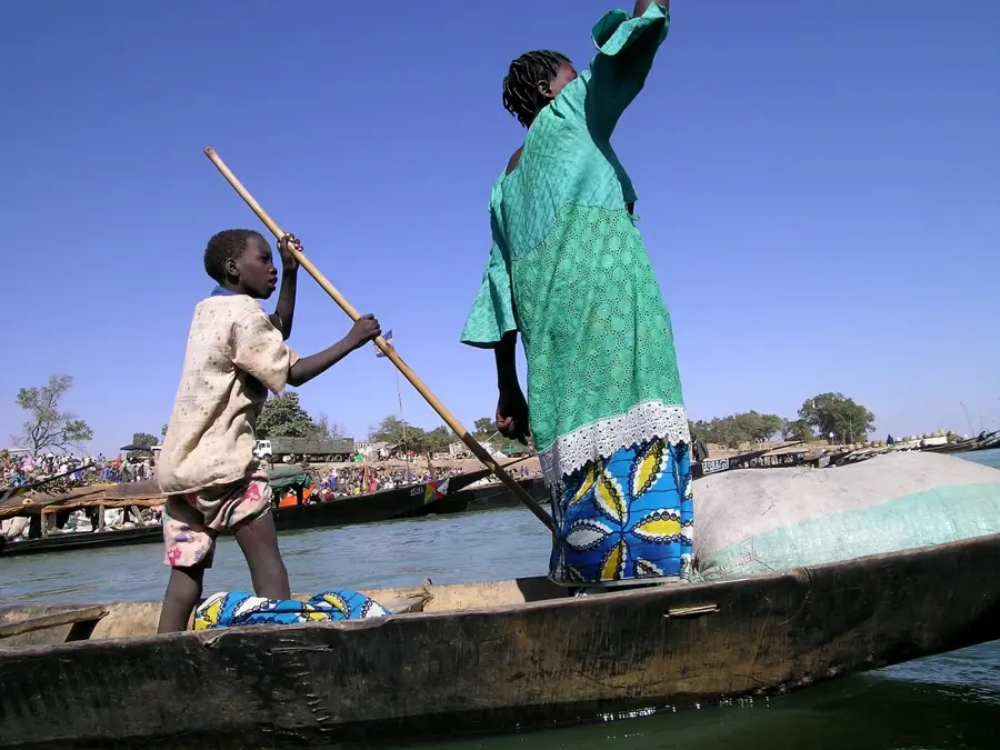
- Watch the local fishermen working with traditional nets in the flowing waters near the dam.
- If traveling in March, inquire about the famous Mask Festival (Fête des Masques), which occasionally takes place here.
🍽 Food
Right on the banks of the dam, you will find stalls frying freshly caught Niger fish.
Fish in an aromatic onion and lemon sauce, a West African classic that is especially delicious here.
A sweet, crispy honey and sesame pastry often sold by street vendors on the side of the road.
🛍 Shopping · 🧘 Quiet spots
Buy locally preserved fish directly from the fishing families on the riverbank.
Along the main road, artisans often offer small, artistically carved figures and everyday objects.
Find a spot under the trees to listen to the sound of the water away from the traffic.
A short walk downstream quickly leads to quiet, shaded spots on the Niger River.
Water temperature…
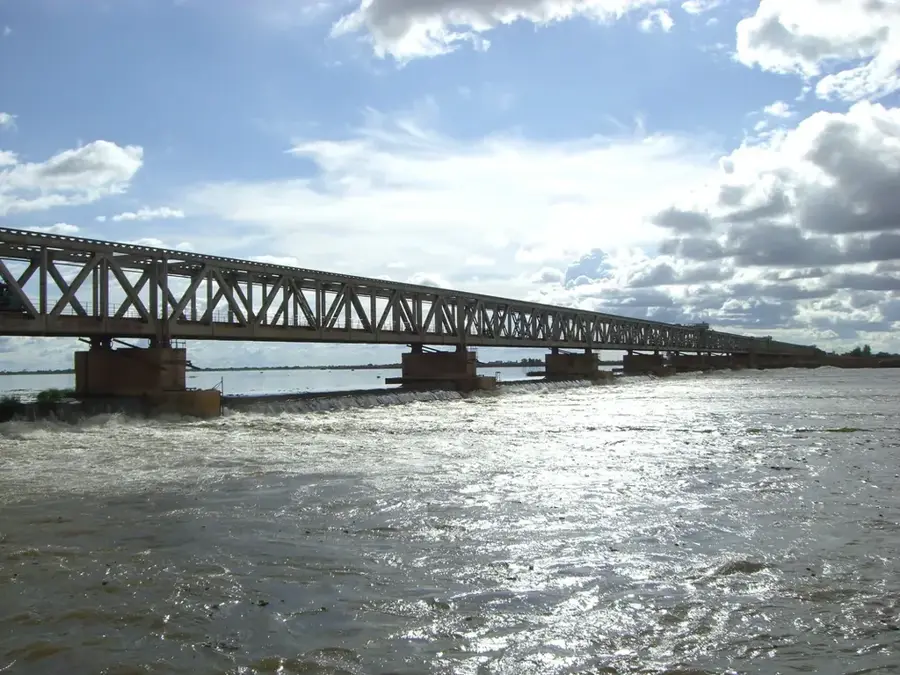
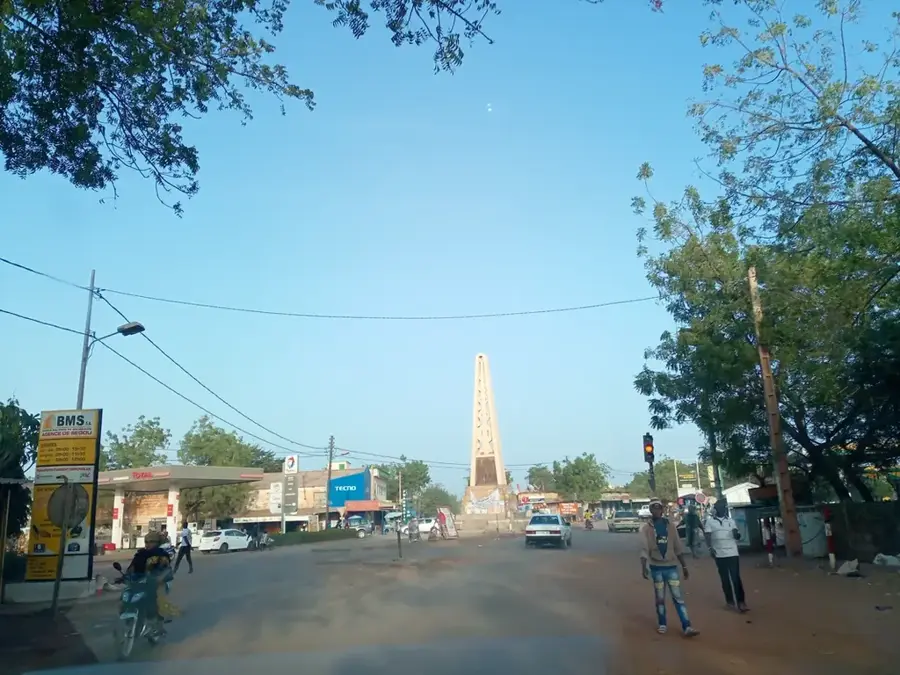
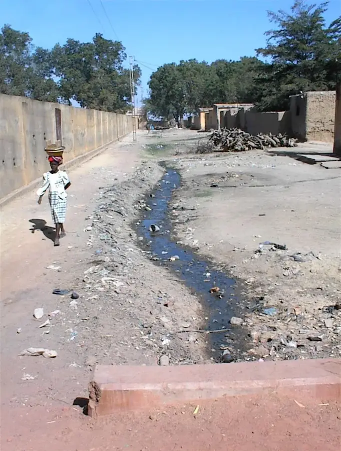
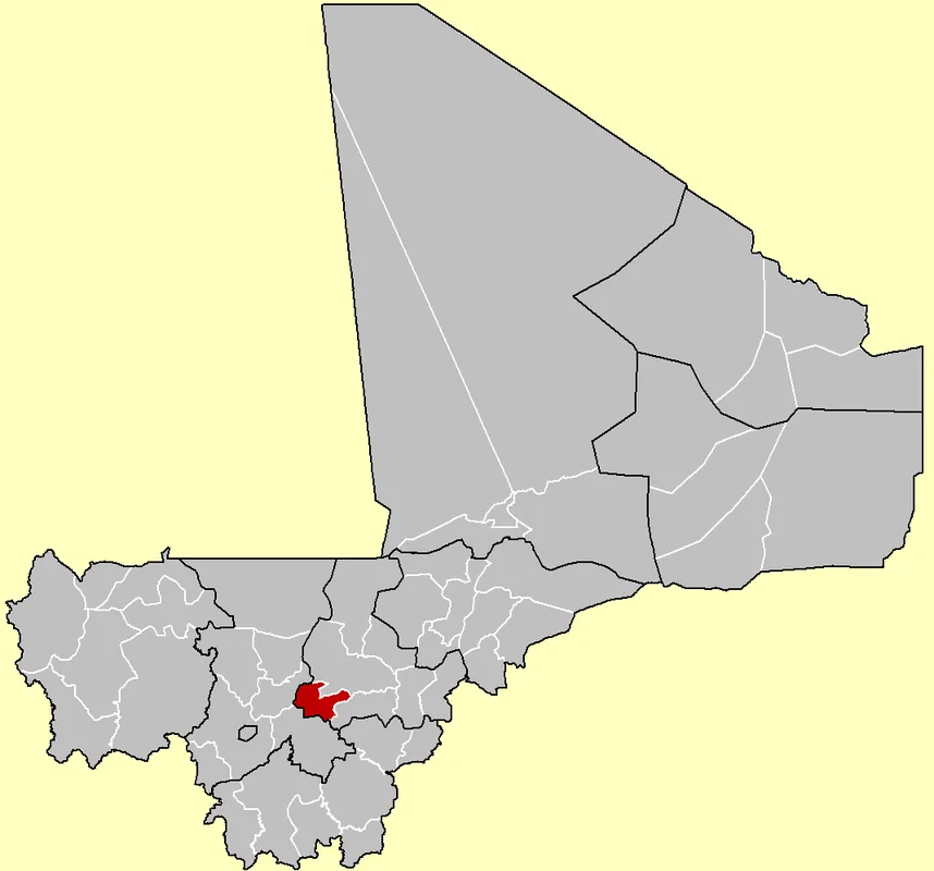
Markala, a town in the Ségou Region, is best known for the impressive Markala Dam (Barrage de Markala), a monumental engineering feat of the colonial era. Constructed between 1934 and 1947, the dam serves to regulate the Niger River's flow to supply the extensive irrigation network of the Office du Niger. Spanning over 800 meters in length, it remains the largest structure of its kind in Mali and is vital for the nation's agricultural output, particularly rice and sugar. The town itself grew alongside this infrastructure project, housing a diverse workforce of engineers, administrators, and fishers. Beyond its economic role, Markala is a significant cultural center, famous for the Sogo-bo masquerade festivals hosted by the Bozo fishing community, which celebrate the river's spirits. The bridge atop the dam provides the only year-round crossing of the Niger River in the region, granting it immense strategic value. Markala perfectly illustrates the blend of industrial development and deep-seated West African traditions.
- Location: Mali
- Nearby: Ségou (36 km)
- Population: ~53.738 (2021)
Best time to visit & climate
The most pleasant time to visit is Jan, Feb, Dec.
| Jan | Feb | Mar | Apr | May | Jun | Jul | Aug | Sep | Oct | Nov | Dec | |
|---|---|---|---|---|---|---|---|---|---|---|---|---|
| Avg °C | 23 | 26 | 30 | 33 | 34 | 31 | 28 | 27 | 27 | 28 | 26 | 23 |
| Rain mm | 0 | 0 | 2 | 7 | 34 | 94 | 182 | 248 | 123 | 25 | 1 | 0 |
Geography
Facts
- The Markala Dam took 13 years to complete, from 1934 to 1947.
- It measures 816 meters in length, making it Mali's largest river regulator.
- The dam is the primary source of water for the massive Office du Niger project.
- Markala is located approximately 35 kilometers downstream from Ségou city.
- The town is a cultural hub for the Bozo people's traditional Sogo-bo theater.
- The dam serves as a critical bridge for traffic moving toward northern Mali.
Explore nearby
Notable places around
Route planner — Car & Motorhome
Where do you start? We build the route here, with stops and country notes along the way.
© OpenStreetMap contributors · OpenRouteService
Frequently asked questions
What is Markala known for?
Can I visit the barrage?
How to get there?
Any accommodations in Markala?
Is a day trip enough?
Markala: where is it located?
Markala: when is the best time to visit?
Markala: why is it worth visiting?

Nearby cities

History & landmarks
More places