Plizio Visual Lab
Markala Dam

Weather…
Water temperature…
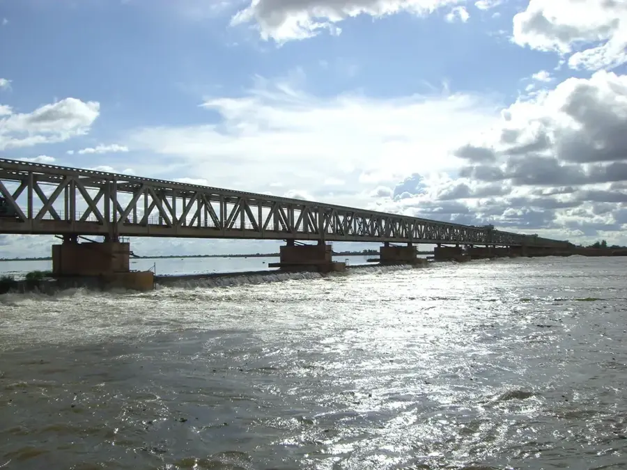
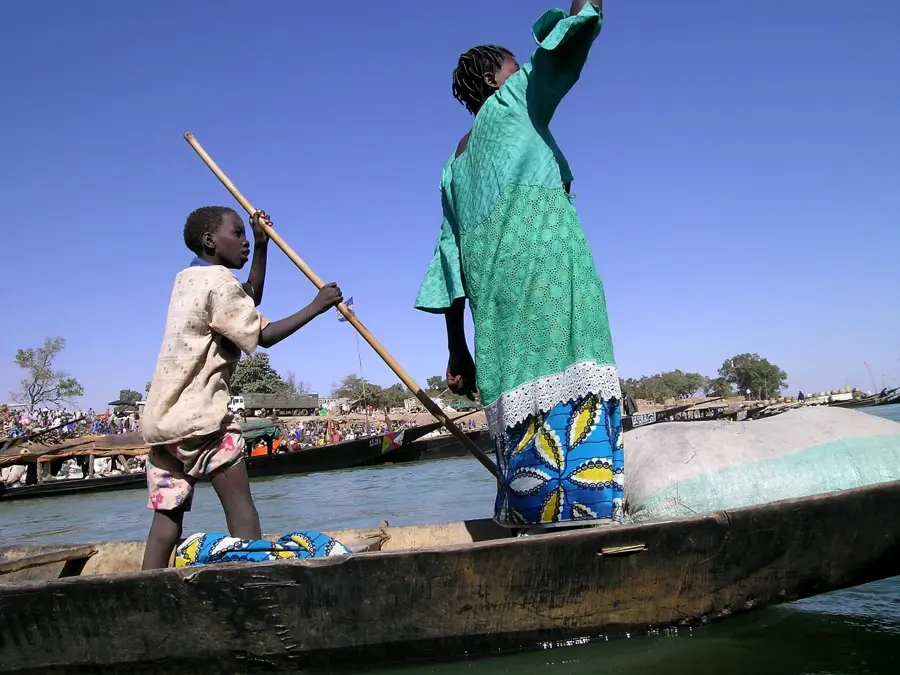
The Markala Dam, also known as the Sansanding Dam, is the most significant hydraulic structure in Mali located on the Niger River. It was constructed between 1934 and 1947 by the French colonial administration under the direction of the Office du Niger. The dam spans approximately 816 meters in length and primarily serves to irrigate the surrounding arid lands for large-scale cotton and rice cultivation. By raising the water level of the river, it feeds an extensive network of canals that reaches over 100,000 hectares of farmland within the Niger Inland Delta. Consequently, Markala evolved into a strategic agricultural hub for the Ségou region. The project was a massive 20th-century engineering feat that relied on the labor of thousands of forced workers from across West Africa. Today, the dam remains the backbone of Malian food production and a testament to colonial-era infrastructure planning. Besides its economic function, the structure also serves as a vital road bridge for crossing the Niger River.
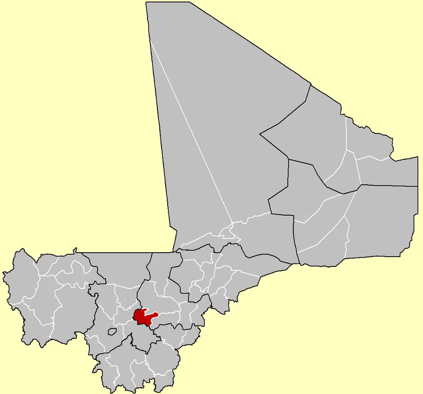
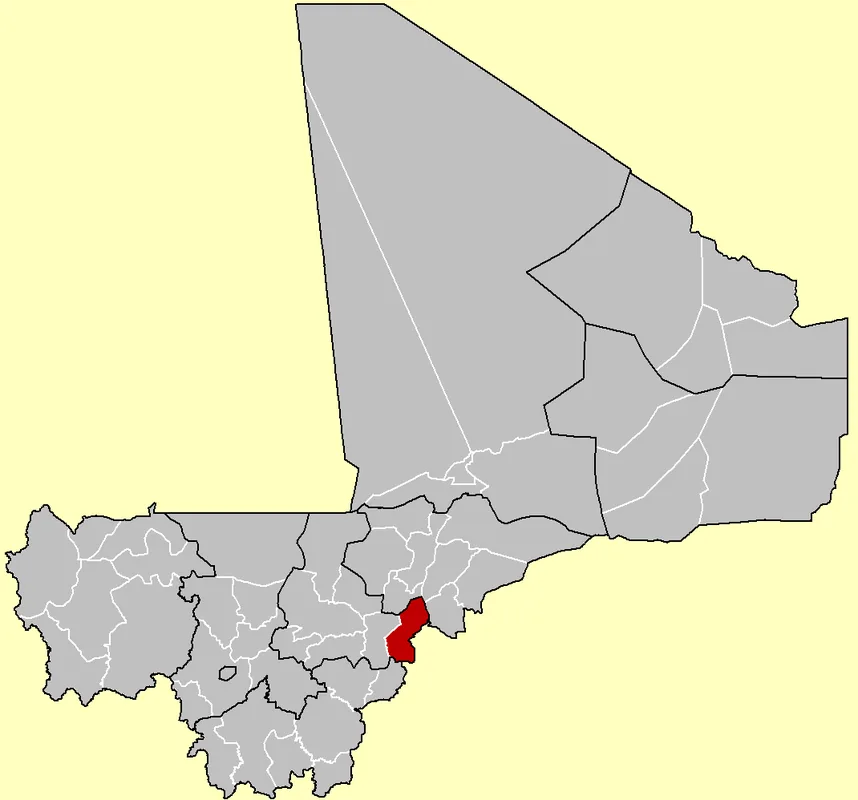
- Location: Mali
- Nearby: Ségou (35 km)
Best time to visit & climate
The most pleasant time to visit is Jan, Feb, Dec.
| Jan | Feb | Mar | Apr | May | Jun | Jul | Aug | Sep | Oct | Nov | Dec | |
|---|---|---|---|---|---|---|---|---|---|---|---|---|
| Avg °C | 23 | 26 | 30 | 33 | 34 | 31 | 28 | 27 | 27 | 28 | 26 | 23 |
| Rain mm | 0 | 0 | 2 | 7 | 34 | 94 | 182 | 248 | 123 | 25 | 1 | 0 |
📋 Practical info
Geography
Facts
- Construction period of the dam lasted from 1934 to 1947.
- The total length of the structure is 816 meters.
- It provides irrigation for more than 100,000 hectares of land.
- The central component of the massive Office du Niger project.
- The dam functions as a road bridge crossing the Niger River.
- Built using concrete and featuring massive steel sluice gates.
Explore nearby
Notable places around
Route planner — Car & Motorhome
Where do you start? We build the route here, with stops and country notes along the way.
© OpenStreetMap contributors · OpenRouteService
Sights in the town Markala Dam (1)
Sights nearby
Frequently asked questions
What makes the dam special?
Can one walk on the dam?
Is the view good?
Is photography allowed?
How to get there?
Markala Dam: where is it located?
Markala Dam: when is the best time to visit?
Markala Dam: why is it worth visiting?

Nearby cities


History & landmarks
More places