Plizio Visual Lab
Mwadui Hill

Weather…
Water temperature…
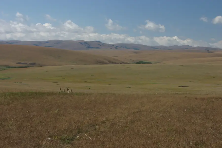
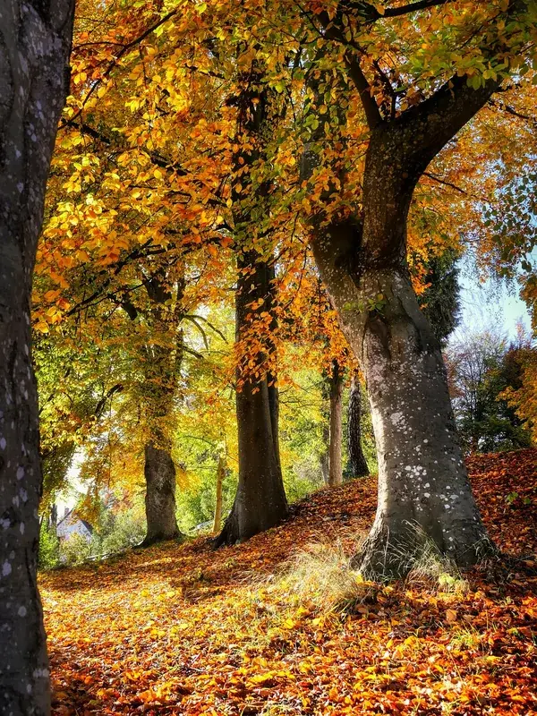
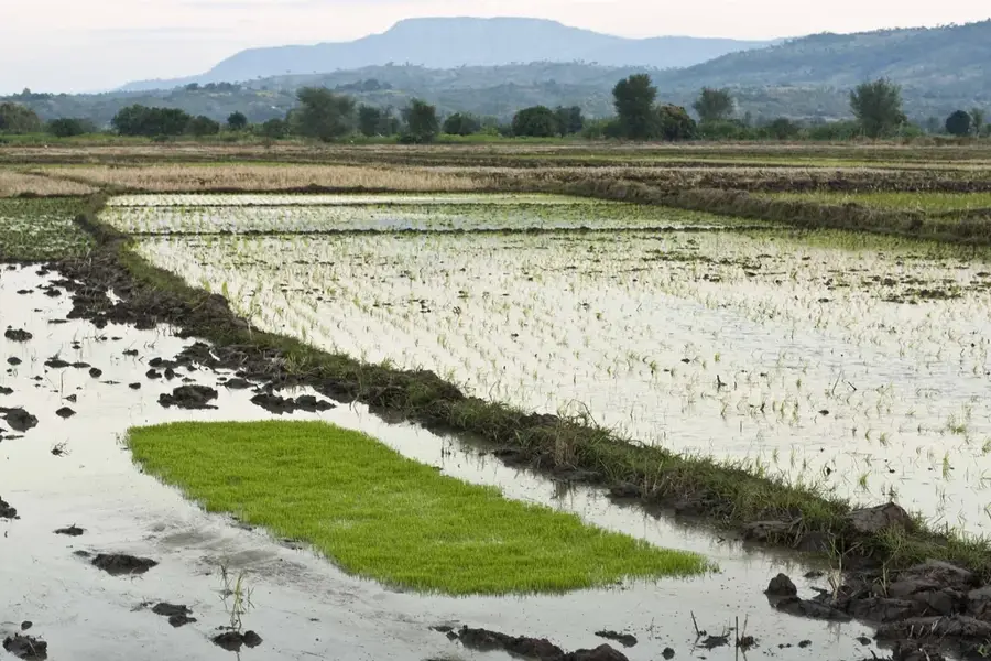
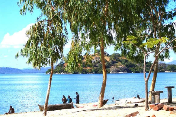
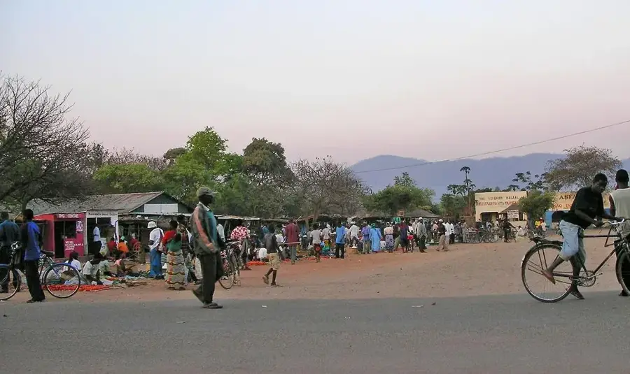
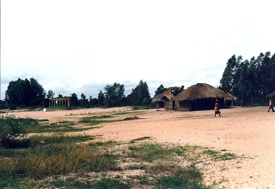
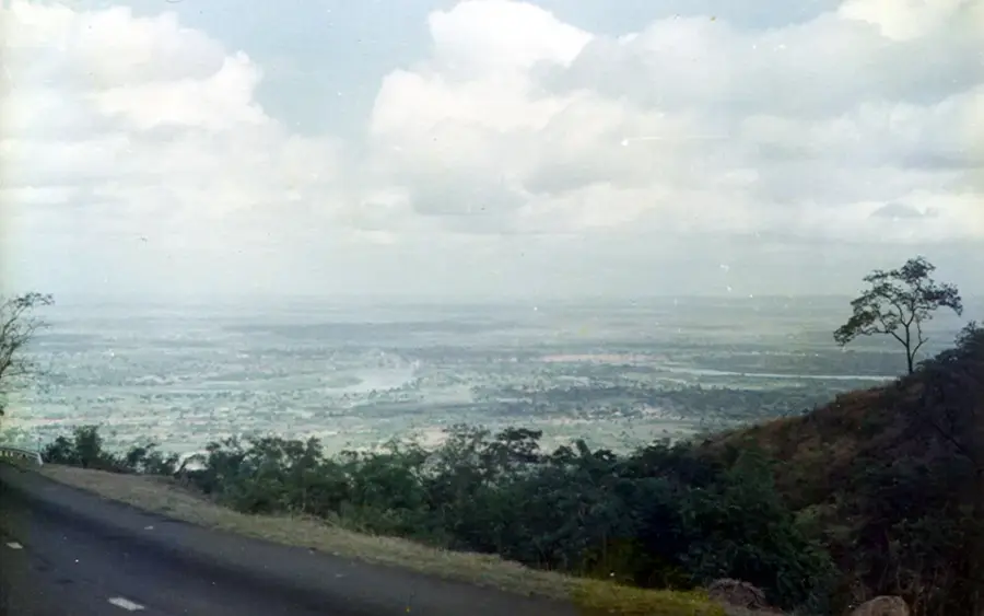
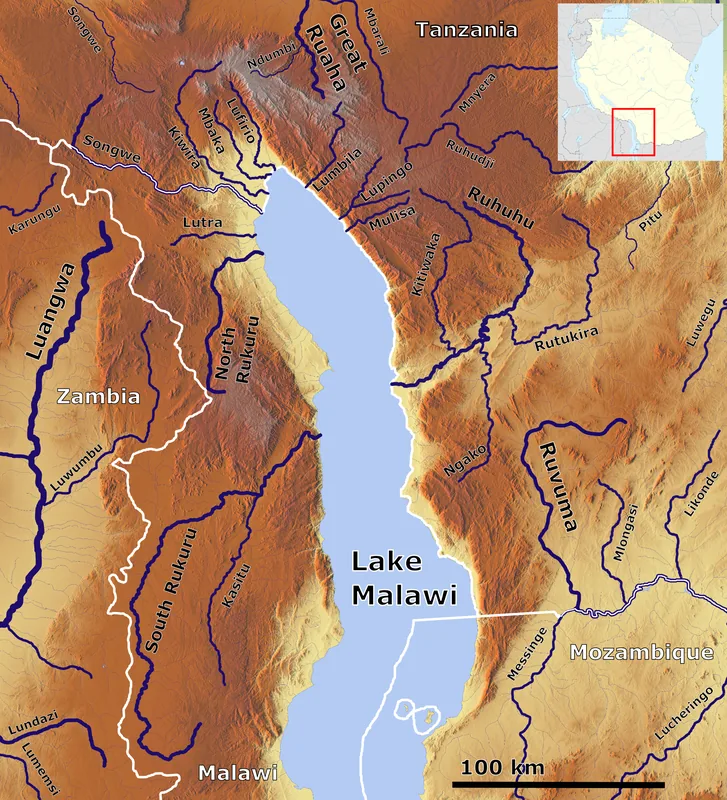
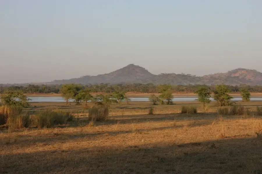
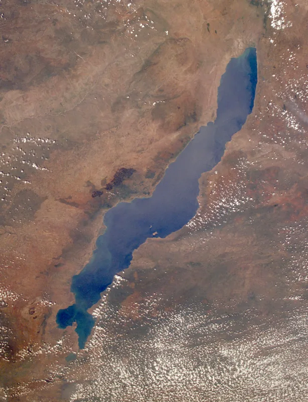
Mwadui Hill is a striking geological feature located in northern Malawi, rising prominently near the town of Karonga. As part of the Livingstonia highland system, it serves as a testament to the powerful tectonic activity of the Great Rift Valley that has shaped the region over millions of years. The hill is largely composed of Karoo sedimentary rocks, which are of significant interest to geologists for their ancient composition. Reaching an elevation of approximately 1,100 meters, the summit provides hikers with panoramic views of the northernmost reaches of Lake Malawi and the distant mountains of Tanzania across the water. The slopes are covered in Miombo woodland and scrub, hosting a variety of indigenous bird species and small mammals. Mwadui Hill is an important site for understanding the prehistoric environmental changes that occurred in the African interior during the formation of the rift system.
- Location: Malawi
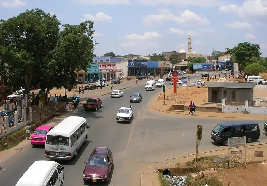
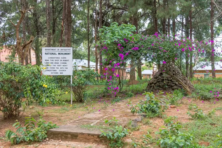
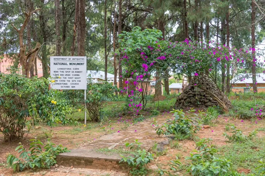
- Nearby: Livingstonia Mission (30 km)
Best time to visit & climate
The most pleasant time to visit is Aug–Oct.
| Jan | Feb | Mar | Apr | May | Jun | Jul | Aug | Sep | Oct | Nov | Dec | |
|---|---|---|---|---|---|---|---|---|---|---|---|---|
| Avg °C | 20 | 20 | 20 | 19 | 17 | 15 | 15 | 17 | 19 | 22 | 22 | 21 |
| Rain mm | 287 | 212 | 220 | 126 | 29 | 11 | 7 | 5 | 5 | 24 | 93 | 257 |
📋 Practical info
Geography
Facts
- Elevation: 1,000 m
- Rock type: syenite
- Reserve: Mwadui Forest
- Rainy season: November to April
- Annual rainfall: 800–1,200 mm
- Ethnic group: Ngonde
Explore nearby
Notable places around
Route planner — Car & Motorhome
Where do you start? We build the route here, with stops and country notes along the way.
© OpenStreetMap contributors · OpenRouteService
Sights nearby
Frequently asked questions
How difficult is this hill?
Are there marked paths there?
Is it safe for children?
Which is the best season?
Is there anything to consider?
Mwadui Hill: where is it located?
Mwadui Hill: when is the best time to visit?
Mwadui Hill: why is it worth visiting?

Nearby cities


History & landmarks
Nature
More places