Plizio Visual Lab
Rumphi Boma
Weather…
Water temperature…
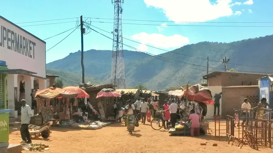
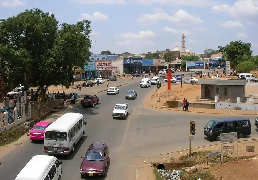
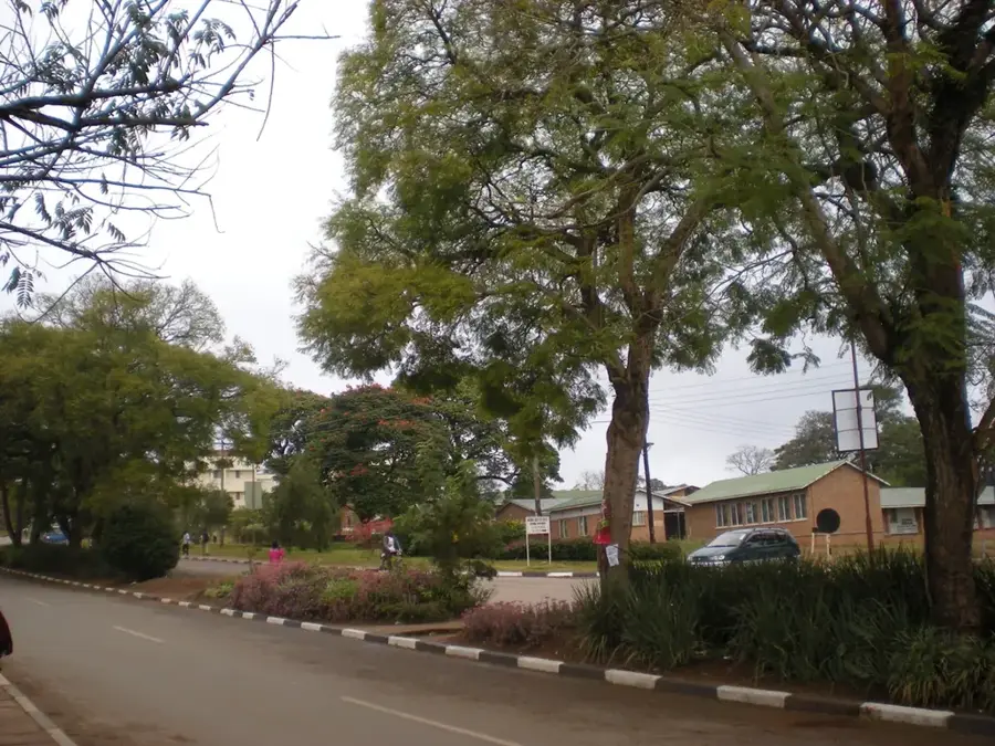
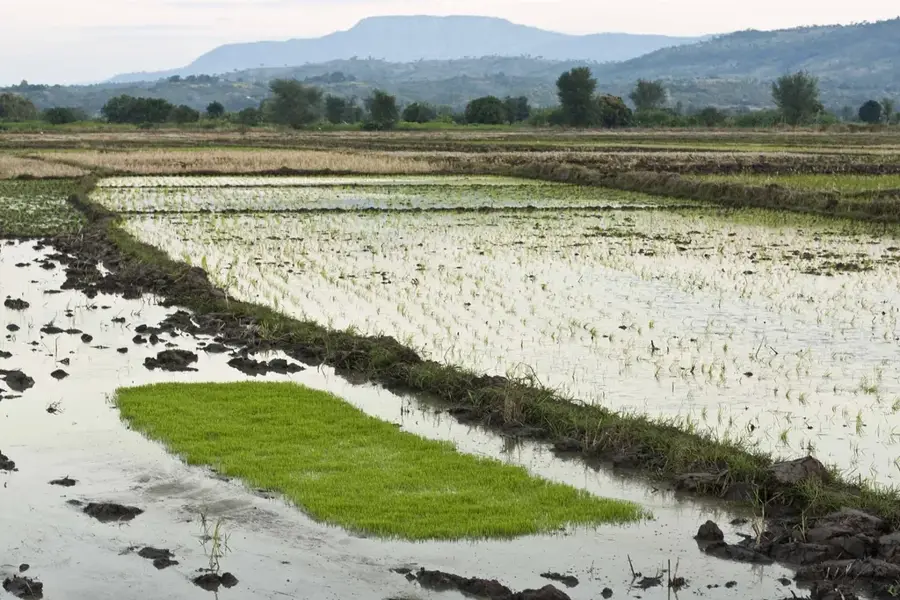
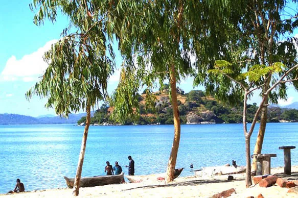
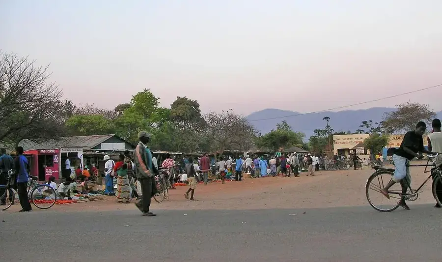
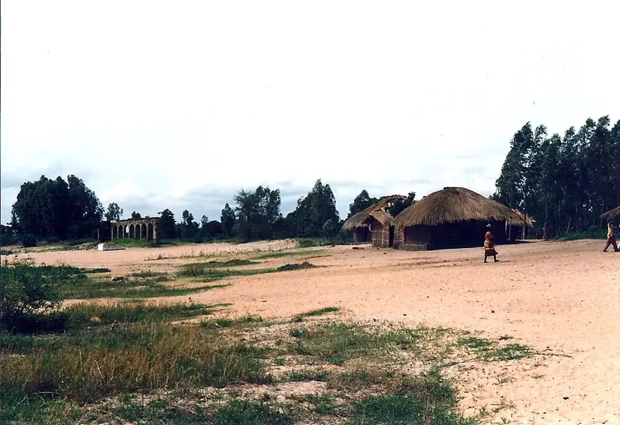
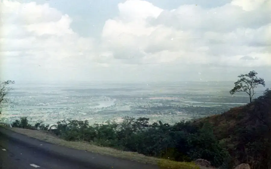
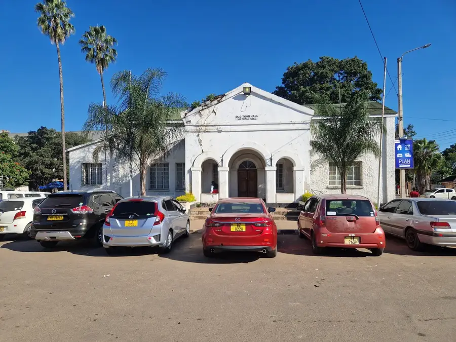
The Rumphi Boma is a significant historical landmark in northern Malawi, once serving as the focal point of British colonial administration for the northern reaches of Nyasaland. The term Boma, which traditionally denoted a fortified enclosure, evolved to signify the local government headquarters. The site is notable for its cluster of well-preserved brick buildings dating back to the early 1900s, showcasing the utilitarian colonial architecture of the era. Positioned at the foothills of the Nyika Plateau, Rumphi is geographically a gateway for expeditions to the Nyika National Park and the Vwaza Marsh Wildlife Reserve. Economically, the town functions as a busy market hub for the surrounding fertile agricultural lands, where smallholder farmers bring tobacco, coffee, and maize for trade. It is the cultural heartland of the Tumbuka people, and the Boma remains a symbol of both the region's historical struggles and its administrative evolution. For history enthusiasts, the site provides a tangible link to Malawi's pre-independence period within a scenic highland setting.
- Location: Malawi
- Nearby: Ekwendeni Mission (32 km)
Best time to visit & climate
The most pleasant time to visit is Aug–Oct.
| Jan | Feb | Mar | Apr | May | Jun | Jul | Aug | Sep | Oct | Nov | Dec | |
|---|---|---|---|---|---|---|---|---|---|---|---|---|
| Avg °C | 21 | 21 | 20 | 19 | 17 | 16 | 15 | 17 | 20 | 23 | 24 | 22 |
| Rain mm | 279 | 220 | 228 | 135 | 27 | 12 | 9 | 4 | 5 | 23 | 89 | 245 |
📋 Practical info
Geography
Facts
- Built in 1904
- Two-story brick building
- Height: 8 meters to roof ridge
- Area: 2 hectares
- Housed 6 district commissioners
- Renovated in 2007
Explore nearby
Notable places around
Route planner — Car & Motorhome
Where do you start? We build the route here, with stops and country notes along the way.
© OpenStreetMap contributors · OpenRouteService
Sights in the town Rumphi Boma (1)
Sights nearby
Frequently asked questions
When is Rumphi Boma open?
Do I need a ticket for Rumphi Boma?
Is Rumphi Boma accessible?
Can I take photos at Rumphi Boma?
How long does a visit to Rumphi Boma take?
Rumphi Boma: where is it located?
Rumphi Boma: when is the best time to visit?
Rumphi Boma: why is it worth visiting?

Nearby cities


History & landmarks

Nature
More places