Plizio Visual Lab
Montagne d'Ambre

Weather…
Water temperature…
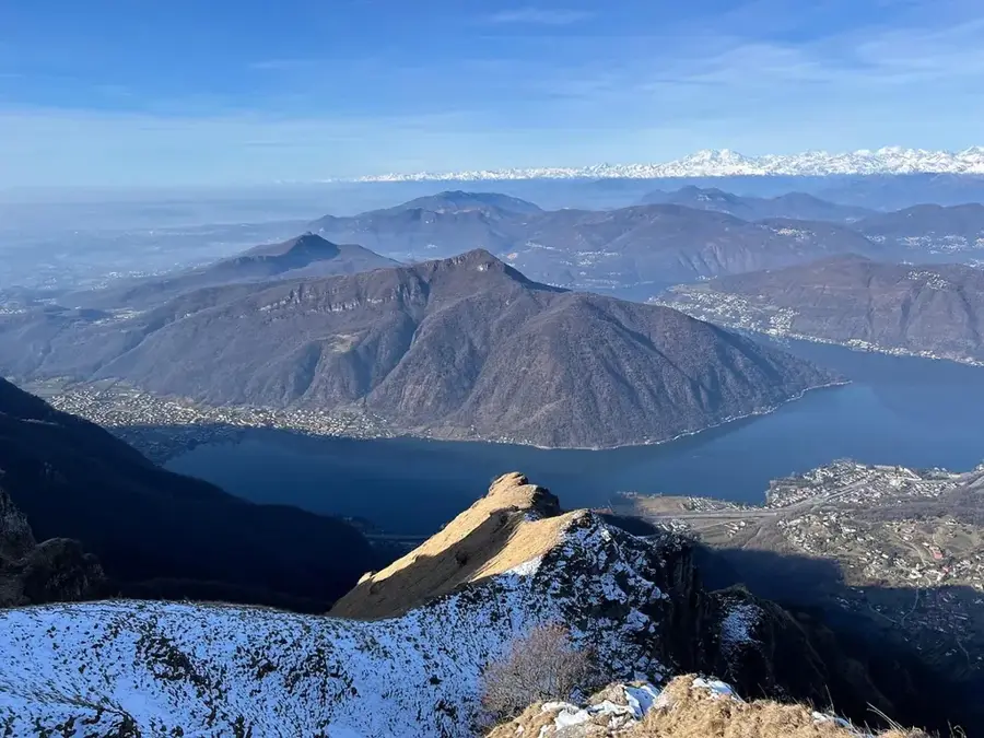
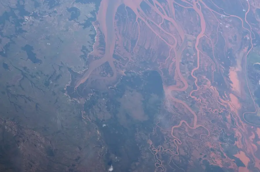
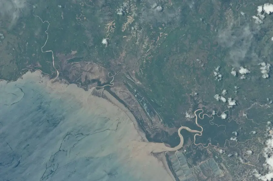
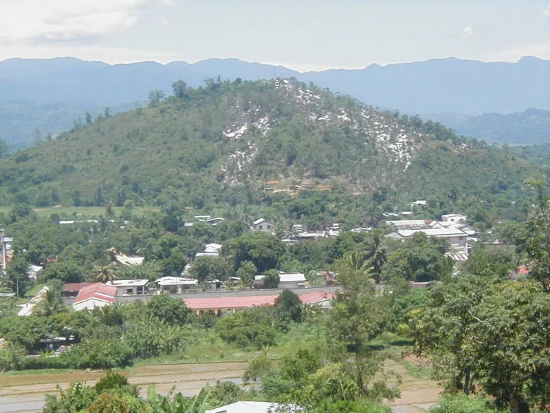
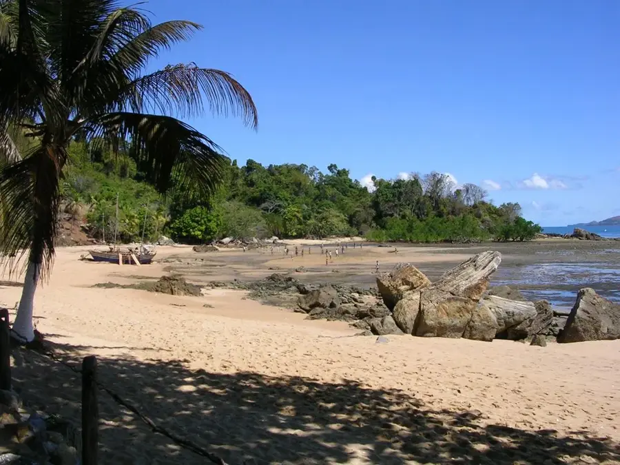
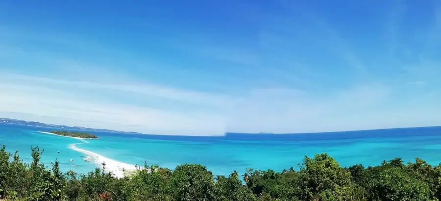
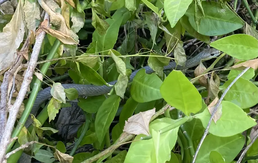
Montagne d'Ambre National Park, established in 1958, is one of Madagascar's oldest protected areas, centered around a volcanic massif in the north. The mountains rise sharply from the dry surrounding plains, trapping moisture to create a lush montane rainforest environment. This isolated ecosystem functions as a vital water tower for the nearby port city of Antsiranana, providing essential freshwater resources. The park is renowned for its crater lakes, dramatic waterfalls, and an extraordinary diversity of reptiles and amphibians, including some of the world's smallest chameleons. Geologically, the massif consists of volcanic rocks that have been carved by erosion into spectacular landforms. The name 'Ambre' refers to the resin produced by the coniferous trees found within the forest. As a center of endemism, the park hosts numerous species that exist nowhere else on Earth.
- Location: Madagascar
- Top sights: Lac Mahasarika · Cascade Sacrée · Cascade Antankarana
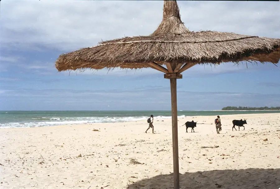
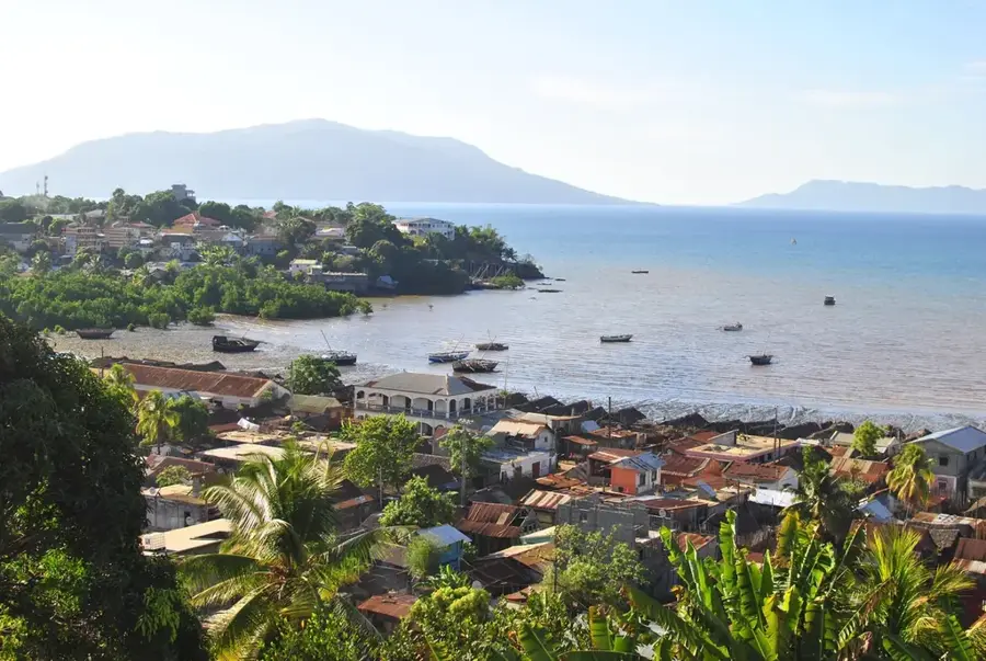
- Nearby: Antsiranana (22 km)
Best time to visit & climate
The most pleasant time to visit is Jul–Sep.
| Jan | Feb | Mar | Apr | May | Jun | Jul | Aug | Sep | Oct | Nov | Dec | |
|---|---|---|---|---|---|---|---|---|---|---|---|---|
| Avg °C | 27 | 27 | 28 | 28 | 27 | 26 | 25 | 25 | 25 | 26 | 27 | 28 |
| Rain mm | 249 | 198 | 166 | 54 | 20 | 9 | 7 | 5 | 5 | 9 | 31 | 127 |
📋 Practical info
Geography
Facts
- The highest point of the massif reaches 1,475 meters above sea level.
- The national park covers a protected area of approximately 18,200 hectares.
- It is home to eight species of lemurs, including the crowned lemur.
- Official protection of the area dates back to the French colonial era in 1958.
- One of the world's smallest chameleons, Brookesia micra, was found nearby.
- Five crater lakes within the park supply fresh water to the regional grid.
Explore nearby
Notable places around
Route planner — Car & Motorhome
Where do you start? We build the route here, with stops and country notes along the way.
© OpenStreetMap contributors · OpenRouteService
Sights in the town Montagne d'Ambre (5)
Sights nearby
Frequently asked questions
Why is Montagne d'Ambre popular?
Is it family-friendly?
Are there toilets there?
When is the best time to travel?
Is photography allowed?
Montagne d'Ambre: where is it located?
Montagne d'Ambre: what is there to see?
Montagne d'Ambre: when is the best time to visit?
Montagne d'Ambre: why is it worth visiting?

Nearby cities

History & landmarks
Nature
More places